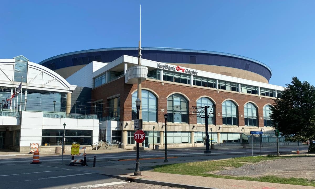
Photo: Wikipedia
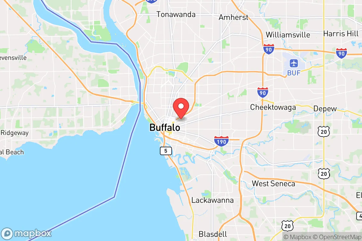
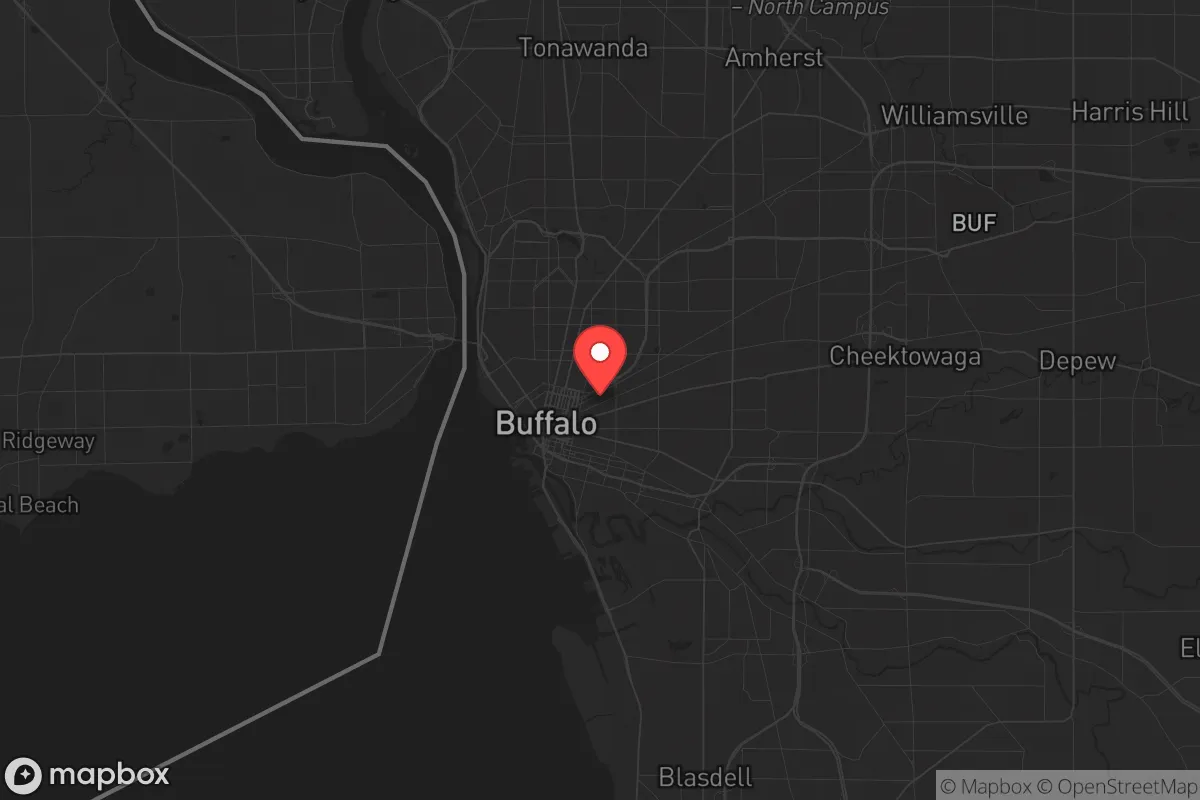
Strategic Assessment of Buffalo, NY
High tactical risk. This location is likely close to major population centers, strategic targets, or sits in a high-disaster corridor. A retreat property and careful exit planning is required.
What does the Strategic Assessment tell us?
Our Strategic Assessment grades tactical survivability of an area. Major population centers, military targets, fallout zones, natural disasters, and border exposure all drive risk — lower exposure means a more defensible position in a crisis.
This is heavily inspired by Joel Skousen's Strategic Relocation book. Highly recommended you checkout the book ($)What does this tell us?
Our Strategic Assessment grades tactical survivability of an area. Major population centers, military targets, fallout zones, natural disasters, and border exposure all drive risk — lower exposure means a more defensible position in a crisis.
This is heavily inspired by Joel Skousen's Strategic Relocation book. Highly recommended you checkout the book ($)Strategic Pillars

Key Distances
Regional Safe Places
Below is our recommended "safe zones" in New York and the surrounding area based on our strategic heuristics. For most people, it's unrealistic to live in a “safe zone” full-time due to work, family or other personal reasons. They tend to be more rural. However, many of these areas are perfect for second homes and retreat properties that double as a vacation home or even a short-term rental.


Important Note: For informational purposes only. This does not mean nothing bad ever happens in the green zones. Please use common sense. This is based on public data and modeled with AI. We tried to take a conservative approach but mistakes happen. We update this regularly as new information becomes available.
Solar Generator Recommendations
Backup power matters more here than in safer locations. We've picked three solar generators across budgets and capacity tiers — start with the budget unit if you only need a few essentials, or step up if you want to run a fridge and HVAC for days at a time.

Jackery Portable Power Station Explorer 300
Budget OptionPower on the Go: Weighing only 11 lbs, it's convenient to set up and store with book-sized foldable solar panels

BLUETTI Portable Power Station AC180
Designed for both indoor and outdoor scenarios, AC180 is highly capable as it has a robost capacity and continuous output power.

EF ECOFLOW DELTA Pro Ultra Power Station
Upgraded PickEcoFlow DELTA Pro Ultra is a whole-home energy system designed to grow with your family. Integrated with the Smart Home Panel 2, it scales to meet your evolving energy needs — keeping your home powered, intelligent, and secure through every stage of life.
We earn a commission, at no additional cost to you.
Strategic Assessment Analysis
Buffalo, New York, presents a paradox for the strategic relocator: it sits within a 90-minute drive of a major international border and a 400-mile radius of nearly half the U.S. population, yet its own population has declined by roughly 50% since 1950, leaving behind a hollowed-out urban core and a surrounding region that is both resilient and exposed. For the prepper or survivalist, Buffalo’s primary advantage is its position on Lake Erie and the Niagara River, providing a massive, renewable freshwater source and a natural barrier to the south. Its disadvantage is proximity to the Toronto metropolitan area (just 100 miles away), a dense, high-value target for any major geopolitical or terrorist event, and its own legacy as a Rust Belt city with aging infrastructure and a history of economic instability. This analysis weighs Buffalo’s strategic value for those seeking a prepared, low-profile relocation in an uncertain future.
Geographic position and natural advantages for long-term survival
Buffalo’s location at the eastern end of Lake Erie, where the Niagara River begins its flow toward Lake Ontario, gives it a hydrographic edge few inland cities can match. The lake itself holds roughly 116 cubic miles of fresh water, and the Niagara River provides a steady, gravity-fed current that can be harnessed for micro-hydro generation with relatively simple turbine setups. The region sits atop the Niagara Escarpment, a limestone ridge that offers natural elevation and defensible terrain in the rural counties to the south and east. The surrounding soil is fertile—part of the Lake Erie lowlands—supporting apple orchards, vineyards, and row crops like corn and soybeans, which means local food production is viable even in a grid-down scenario. The climate, while harsh with lake-effect snow averaging 90 inches annually, also provides a natural buffer: extreme cold deters casual migration and slows the spread of disease and pests. For a relocator, the key is to settle in the outer ring—Erie County’s southern townships like Boston or Colden, or even into Wyoming County—where you’re 30–45 minutes from the city but far enough from its vulnerabilities.
Risks, exposures, and proximity to fallout-relevant landmarks
The biggest red flag for Buffalo is its proximity to the Toronto–Hamilton corridor, a metropolitan area of over 7 million people that includes Canada’s largest financial center, its busiest airport (Pearson), and the Pickering Nuclear Generating Station (just 80 miles from Buffalo’s city center). A major event—whether a dirty bomb, a conventional strike, or a cyberattack on the grid—could send a wave of refugees south across the Peace Bridge or the Rainbow Bridge, overwhelming local resources. Within Buffalo itself, the Buffalo Niagara International Airport and the Peace Bridge are obvious choke points that could become targets or flashpoints during civil unrest. The city also has its own aging nuclear plant, the Robert Moses Niagara Power Plant on the Niagara River, which, while hydroelectric, is a critical infrastructure node that could be sabotaged or targeted. On the plus side, the region’s low population density—Erie County has about 900,000 people, but much of it is suburban sprawl—means that a determined relocator can find a rural property with good line-of-sight and limited neighbors. The Buffalo–Rochester–Syracuse corridor is a secondary risk: if the Northeast Corridor collapses, this I-90 artery becomes a funnel for displaced populations moving west.
Practical resilience for a relocator: food, water, energy, and defensibility
Water is Buffalo’s strongest card. Lake Erie is a massive, unfiltered reservoir, and the region’s groundwater is generally clean and shallow—wells in the southern tier can produce 10–20 gallons per minute at depths of 50–100 feet. For energy, the Niagara hydro system is a double-edged sword: it provides cheap, reliable power under normal conditions, but it’s a single point of failure. A grid-down scenario would leave most of the city without power, though rural properties with solar panels and battery banks can operate independently, especially if they’re south of the lake-effect snow belt. Food security is moderate: the region has a strong local farming community, with farmers’ markets and CSAs common, but the growing season is short (May to September). A serious prepper would need to invest in a greenhouse or cold-frame to extend it. Defensibility is mixed. The flat terrain around the lake offers little natural cover, but the escarpment and the wooded hills of the Southern Tier provide good retreat options. The city itself is a liability—its dense, aging housing stock and narrow streets make it a nightmare for evacuation or defense. The smart play is to buy land in a township like Wales or Marilla, where you’re 20 miles from the city but have access to rural roads, volunteer fire departments, and a community that still knows how to hunt and preserve food. The local gun culture is present but not aggressive—New York State has strict licensing laws, but rural Erie County is more permissive than the city, and you can legally own rifles and shotguns for defense.
The overall strategic picture for Buffalo is one of calculated trade-offs. It offers a reliable water source, a moderate climate for food production, and a location that is far enough from the worst of the coastal chaos but close enough to a major international border to be a potential flashpoint. For the conservative relocator who values self-sufficiency and low visibility, the outer ring of Erie County or the adjacent rural counties (Wyoming, Genesee, Orleans) provide a defensible, resource-rich base. The downsides—proximity to Toronto, aging infrastructure, and the risk of refugee surges—are real but manageable with proper planning. If you’re looking for a place to ride out a decade of instability without going completely off-grid, Buffalo’s suburbs and exurbs deserve a hard look. Just don’t buy inside the city limits, and keep a bug-out bag ready for a southward retreat toward the Allegheny Mountains if things go truly sideways.
* Values derived from national, state, county, city and local statistics and may differ in a specific area. Last updated: 2026-04-23T02:46:01.000Z
Narrative content on this page is AI-generated and may contain mistakes. Verify any details that matter before acting on them.
ReloMaps may earn a commission from affiliate links at no extra cost to you.