Photo: Wikipedia
Strategic Assessment of Madera County
Workable tactical position. Some exposure to population density or targets, but generally defensible in a crisis.
What does the Strategic Assessment tell us?
Our Strategic Assessment grades tactical survivability of an area. Major population centers, military targets, fallout zones, natural disasters, and border exposure all drive risk — lower exposure means a more defensible position in a crisis.
This is heavily inspired by Joel Skousen's Strategic Relocation book. Highly recommended you checkout the book ($)What does this tell us?
Our Strategic Assessment grades tactical survivability of an area. Major population centers, military targets, fallout zones, natural disasters, and border exposure all drive risk — lower exposure means a more defensible position in a crisis.
This is heavily inspired by Joel Skousen's Strategic Relocation book. Highly recommended you checkout the book ($)Strategic Pillars

Key Distances
Strategic Assessment Analysis
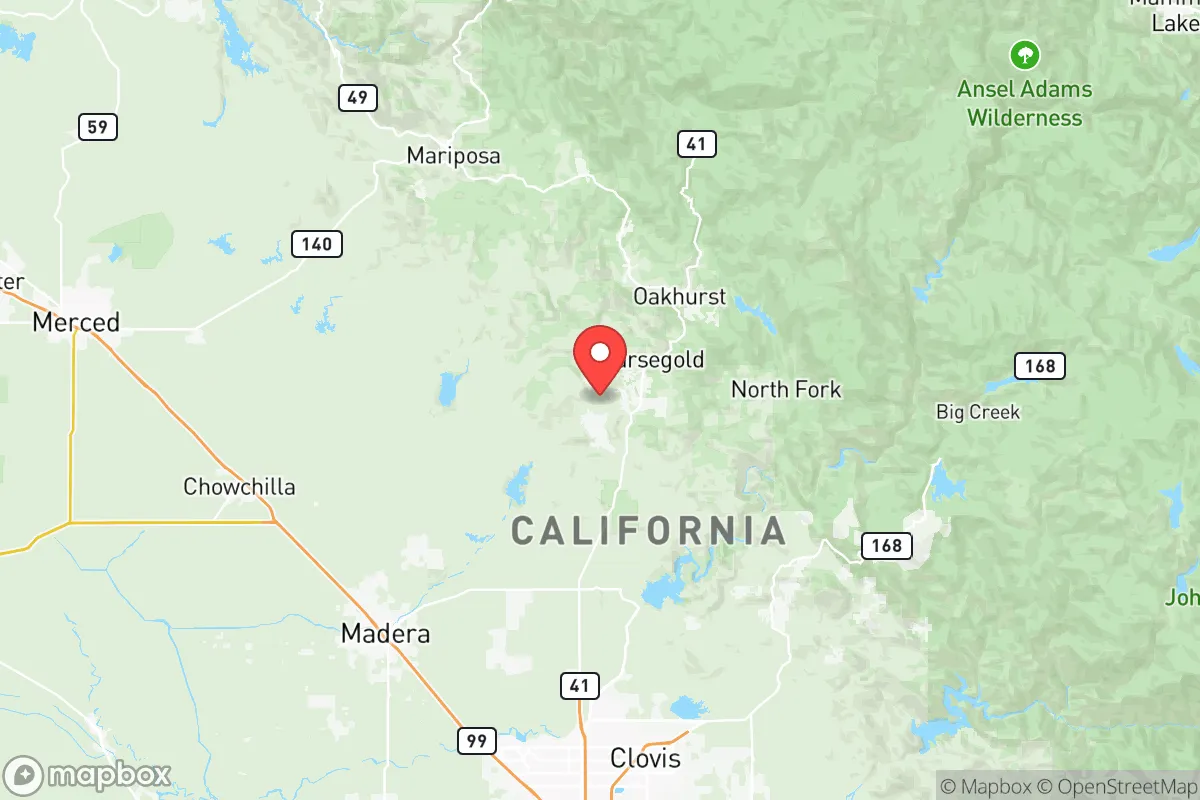
Madera County, California, occupies a strategic middle ground in the Central Valley that offers a compelling mix of agricultural self-sufficiency, geographic isolation from major metropolitan fallout zones, and access to Sierra Nevada mountain resources. Located roughly 25 miles northwest of Fresno and 140 miles southeast of San Francisco, the county sits far enough from California’s major coastal population centers and military-industrial targets to avoid the worst of a regional disruption, yet close enough to maintain supply lines and economic ties. For a relocator prioritizing resilience, Madera County’s position at the intersection of fertile valley farmland and the Sierra Nevada foothills provides a rare combination of defensible terrain, water access, and food production capacity that few other California counties can match.
Geographic position and natural advantages for long-term stability
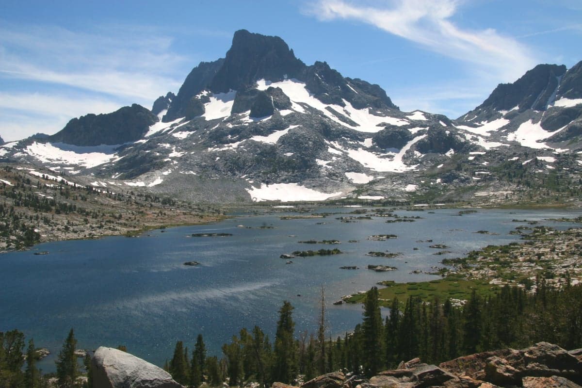
Madera County stretches from the flat, irrigated farmlands of the Central Valley floor in the west to the pine-forested slopes of the Sierra National Forest in the east, creating a natural elevation gradient that supports both agriculture and defensible retreat. The county seat, Madera, sits at roughly 270 feet elevation on the valley floor, while the mountain communities of Oakhurst and North Fork climb to over 2,200 feet, offering cooler temperatures, forest cover, and natural choke points along winding mountain roads. The San Joaquin River runs through the county’s western edge, and the Fresno River and Chowchilla River provide additional surface water that feeds the region’s extensive irrigation canals. This water infrastructure, built for agriculture, gives Madera County a significant resilience advantage over drier inland counties. The Sierra Nevada range to the east acts as a natural barrier against overland movement from the Nevada side, while the Coast Ranges to the west provide a buffer against coastal fallout. The county’s position along State Route 99, the main north-south artery through the Central Valley, ensures access to regional distribution networks without being directly adjacent to the major port and refinery targets of the Bay Area or Los Angeles.
Risks, exposures, and proximity to fallout-relevant landmarks
While Madera County avoids the highest-risk zones, it is not without exposure. The most significant man-made risk comes from the county’s proximity to Fresno (population 542,000), which contains a regional transportation hub, a major airport (Fresno Yosemite International), and the Fresno Air National Guard Base. A strike on Fresno’s military or logistics infrastructure could produce fallout that drifts eastward into Madera County, particularly affecting the western valley communities. The county also lies within 100 miles of the Diablo Canyon Power Plant near San Luis Obispo, though the prevailing winds typically carry coastal air inland, reducing direct nuclear plume risk. On the natural disaster front, Madera County faces moderate earthquake risk from the San Andreas Fault system, which runs roughly 80 miles to the west, and the Sierra Nevada fault zone to the east. The 2020 Creek Fire, which burned over 379,000 acres in the Sierra National Forest, demonstrated the county’s wildfire exposure, particularly in the mountain communities of Oakhurst, Bass Lake, and North Fork. Flooding along the San Joaquin River and its tributaries remains a periodic concern, especially during heavy snowmelt years. The county’s agricultural infrastructure—including large-scale dairies, almond orchards, and processing facilities—could become a secondary target in a conflict scenario, though these are diffuse rather than concentrated like a refinery or port.
Practical resilience for a relocator: food, water, energy, and defensibility
Madera County’s agricultural base is its strongest resilience asset. The county produces over $2 billion annually in agricultural commodities, including almonds, milk, grapes, and pistachios, meaning local food supply chains are robust and diverse. Small-scale farming and ranching are common in the eastern foothills, where properties often include wells, septic systems, and acreage for gardens or livestock. Water access is generally good: the Madera Irrigation District manages surface water deliveries from the San Joaquin River and Millerton Lake, and groundwater basins in the valley are relatively productive, though subject to state groundwater management regulations under the Sustainable Groundwater Management Act (SGMA). For off-grid living, the mountain communities offer properties with private wells and solar potential, though winter access can be limited by snow on roads like Highway 41 and Highway 49. Energy infrastructure is mixed: Pacific Gas & Electric (PG&E) serves most of the county, and the utility’s Public Safety Power Shutoffs (PSPS) during high fire risk have become a regular occurrence, making solar-plus-battery systems a practical investment for resilience. Defensibility varies by terrain: the valley floor is open and exposed, while the foothill communities offer natural defensive positions along narrow mountain roads with limited access points. The county’s population density is low—roughly 160,000 people spread over 2,138 square miles—which reduces competition for resources in a crisis. The Chowchilla and Madera areas have a strong agricultural community culture, with established networks of farmers, ranchers, and small business owners who practice mutual aid and barter, a social resilience factor that is harder to quantify but equally important.
Overall, Madera County presents a balanced strategic picture for the resilience-minded relocator. It avoids the extreme risks of coastal California while retaining access to the state’s economic and logistical networks. The combination of agricultural self-sufficiency, multiple water sources, defensible mountain terrain, and low population density makes it one of the more viable options in the Central Valley for those serious about preparedness. The trade-offs are real: wildfire risk in the foothills, periodic PG&E outages, and the need to invest in private infrastructure (wells, solar, food storage) to achieve true self-sufficiency. For a single individual or family willing to put in the work, Madera County offers a foundation that is both practical and strategically sound—a place where resilience is not just theoretical but built into the landscape and the local economy.

* Values derived from national, state, county, city and local statistics and may differ in a specific area. Last updated: 2026-09-27T21:33:47.000Z
Narrative content on this page is AI-generated and may contain mistakes. Verify any details that matter before acting on them.
ReloMaps may earn a commission from affiliate links at no extra cost to you.

