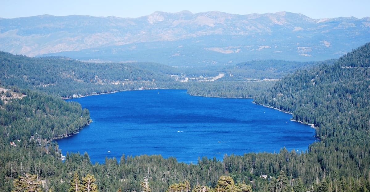
Photo: Wikipedia
Strategic Assessment of Nevada County
Workable tactical position. Some exposure to population density or targets, but generally defensible in a crisis.
What does the Strategic Assessment tell us?
Our Strategic Assessment grades tactical survivability of an area. Major population centers, military targets, fallout zones, natural disasters, and border exposure all drive risk — lower exposure means a more defensible position in a crisis.
This is heavily inspired by Joel Skousen's Strategic Relocation book. Highly recommended you checkout the book ($)What does this tell us?
Our Strategic Assessment grades tactical survivability of an area. Major population centers, military targets, fallout zones, natural disasters, and border exposure all drive risk — lower exposure means a more defensible position in a crisis.
This is heavily inspired by Joel Skousen's Strategic Relocation book. Highly recommended you checkout the book ($)Strategic Pillars

Key Distances
Strategic Assessment Analysis
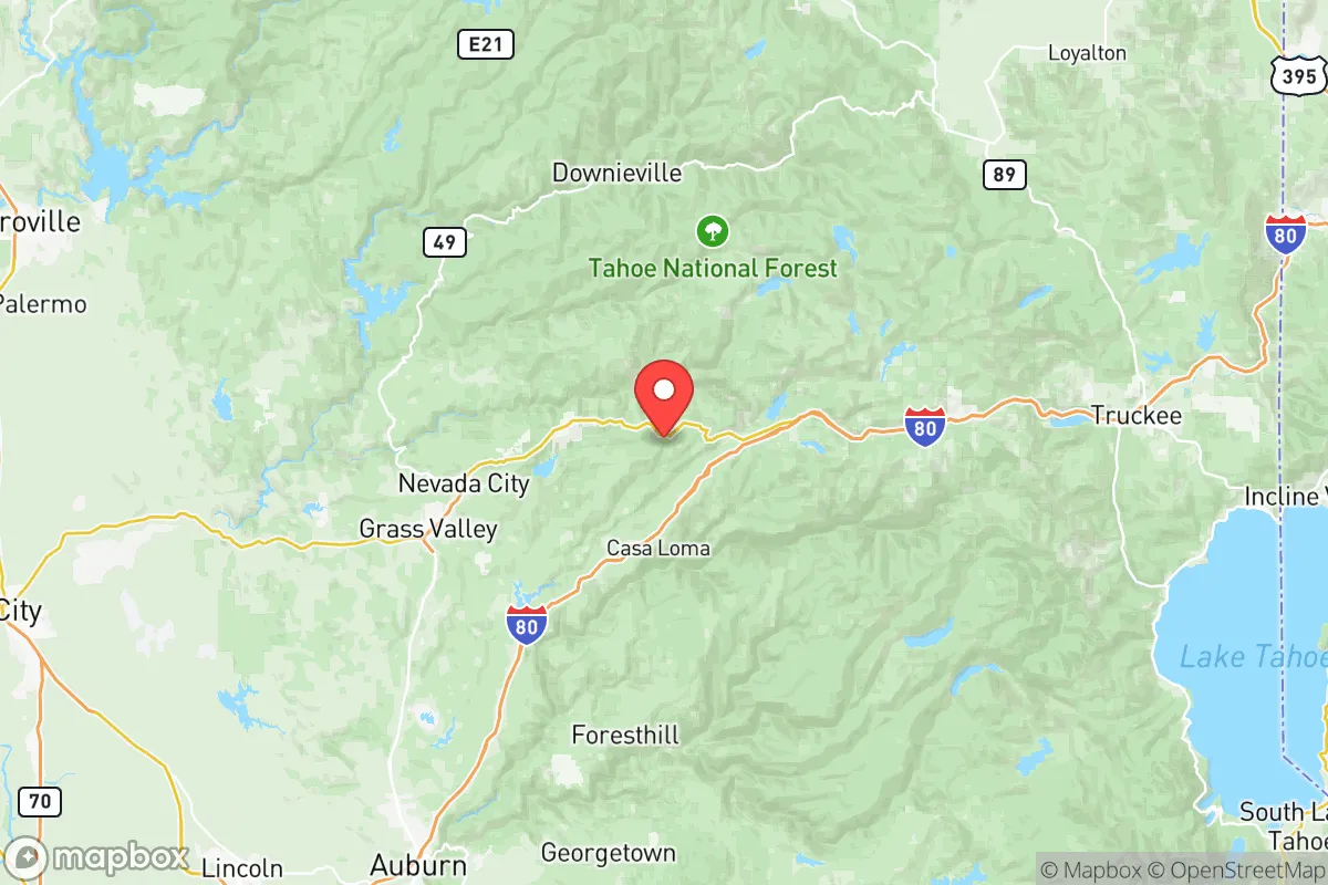
Nevada County, California, offers a compelling strategic position for relocators prioritizing resilience and self-sufficiency, balancing the benefits of remote mountain living with reasonable access to critical infrastructure. Located in the Sierra Nevada foothills, the county’s primary population centers—Grass Valley, Nevada City, and Penn Valley—sit at elevations between 2,500 and 3,000 feet, providing a natural buffer against coastal threats while remaining within a two-hour drive of Sacramento and the Central Valley’s agricultural and logistical hubs. This positioning gives residents a distinct advantage: proximity to urban resources without the vulnerabilities of dense population centers, major military installations, or high-value industrial targets that define the state’s risk profile.
Geographic position and natural advantages for long-term security
Nevada County’s geography is its strongest asset for disaster resilience. The county lies along the western slope of the Sierra Nevada, with terrain ranging from rolling oak woodlands in the lower elevations to dense coniferous forests above 3,500 feet. This elevation provides a natural defense against sea-level rise, storm surges, and tsunamis—threats that plague coastal communities like San Francisco or Los Angeles. The county is also far removed from California’s major earthquake fault zones; while minor tremors are possible, the region lacks the seismic intensity of the San Andreas or Hayward faults. For a relocator concerned with fallout from man-made disasters, Nevada County’s distance from key targets is notable: it sits roughly 100 miles northeast of the Sacramento metropolitan area (home to the state capital and major transportation hubs) and over 150 miles from the San Francisco Bay Area’s refinery corridor, ports, and tech infrastructure. The nearest military installation of strategic significance is Beale Air Force Base near Marysville, about 50 miles south—close enough to monitor but far enough to avoid direct fallout from a conventional or asymmetric attack. The county’s mountainous terrain also limits the spread of airborne contaminants, as prevailing winds from the Pacific tend to push eastward over the Sierra crest, reducing the risk of prolonged exposure to fallout from coastal or Central Valley incidents.
Risks, exposures, and proximity to fallout-relevant landmarks
No location is without vulnerabilities, and Nevada County faces specific risks that a strategic relocator must weigh. The most immediate natural threat is wildfire: the county sits in a high-risk fire zone, with the 2020 Jones Fire and 2021 River Fire collectively burning over 15,000 acres and destroying hundreds of structures near Grass Valley and Nevada City. These events underscore the importance of defensible space, fire-resistant construction, and evacuation planning. Flooding is a secondary concern, primarily in low-lying areas along the Yuba River and Bear River corridors, though most residential zones above 2,500 feet are well-drained. From a man-made risk perspective, Nevada County’s remoteness is a double-edged sword: while it avoids direct proximity to high-value targets, it lies within the potential fallout zone of the Sacramento Valley, which hosts the state’s primary water conveyance systems (the California Aqueduct and Delta pumps) and the Rancho Seco nuclear power plant (decommissioned but still storing spent fuel). A catastrophic event at either location could affect air and water quality for days, though prevailing winds typically carry contamination eastward into the Sierra rather than settling in Nevada County’s canyons. The county’s limited industrial base—primarily small-scale mining, timber, and agriculture—means it is not a primary target, but its reliance on two-lane highways (Highways 49 and 20) for evacuation and resupply creates a chokepoint vulnerability during large-scale emergencies.
Practical resilience for a relocator: food, water, energy, and defensibility
For a relocator serious about self-sufficiency, Nevada County offers strong fundamentals but requires active preparation. Water availability is a standout advantage: the county receives 50–70 inches of annual precipitation in higher elevations, with numerous creeks, springs, and groundwater basins. The Scotts Flat Reservoir and Rollins Reservoir provide surface storage, and many rural properties have legal access to well water—though drilling depths vary from 100 to 400 feet depending on location. Food production is feasible but seasonal: the growing season at 2,500 feet runs roughly April through October, with cold-hardy crops like apples, pears, and root vegetables thriving. The county has a robust network of small farms, farmers’ markets, and food co-ops (notably the BriarPatch Co-op in Grass Valley), but year-round food security depends on home gardening, food preservation, and strategic stockpiling. Energy resilience is mixed: PG&E provides grid electricity, but the region experiences frequent Public Safety Power Shutoffs (PSPS) during high-fire-risk weather, sometimes lasting days. Solar adoption is high, with many off-grid and grid-tied systems in place, and the county’s sunny climate (over 250 sunny days per year) supports reliable solar generation. Backup battery storage or a generator is essential for winter storms and fire-season outages. Defensibility is a key consideration: the county’s terrain—steep canyons, narrow roads, and dense forests—naturally limits access, making it harder for large groups to move through uninvited. However, this same geography complicates law enforcement response times; the Nevada County Sheriff’s Office covers 978 square miles with limited personnel, so community-based security and neighborhood watch programs are common in rural subdivisions. The county’s population (roughly 100,000) is spread across small towns and unincorporated areas, reducing the risk of civil unrest that can plague denser urban centers during crises.
The overall strategic picture for Nevada County is one of balanced opportunity and responsibility. It offers a rare combination of geographic isolation from major threats, abundant natural resources, and a culture of self-reliance that aligns with conservative values of preparedness and independence. The county’s distance from high-value targets like the Bay Area’s refinery corridor, Sacramento’s government infrastructure, and Beale Air Force Base significantly reduces its exposure to man-made disasters, while its elevation and climate mitigate many coastal and seismic risks. However, this security comes with trade-offs: wildfire remains a persistent and escalating threat, requiring active mitigation and insurance planning, and the county’s infrastructure—roads, power lines, and emergency services—is stretched thin during major events. For a relocator willing to invest in fire-safe construction, water storage, solar energy, and community engagement, Nevada County represents one of California’s more defensible and resilient locations. It is not a bunker, but a working landscape where strategic preparation can yield a high degree of long-term security and quality of life.

* Values derived from national, state, county, city and local statistics and may differ in a specific area. Last updated: 2026-09-28T15:44:59.000Z
Narrative content on this page is AI-generated and may contain mistakes. Verify any details that matter before acting on them.
ReloMaps may earn a commission from affiliate links at no extra cost to you.

