Photo: Wikipedia
Strategic Assessment of Santa Clara County
Multiple tactical vulnerabilities. Population density, target proximity, or disaster risk are likely compounding. A retreat property and exit planning is required.
What does the Strategic Assessment tell us?
Our Strategic Assessment grades tactical survivability of an area. Major population centers, military targets, fallout zones, natural disasters, and border exposure all drive risk — lower exposure means a more defensible position in a crisis.
This is heavily inspired by Joel Skousen's Strategic Relocation book. Highly recommended you checkout the book ($)What does this tell us?
Our Strategic Assessment grades tactical survivability of an area. Major population centers, military targets, fallout zones, natural disasters, and border exposure all drive risk — lower exposure means a more defensible position in a crisis.
This is heavily inspired by Joel Skousen's Strategic Relocation book. Highly recommended you checkout the book ($)Strategic Pillars

Key Distances
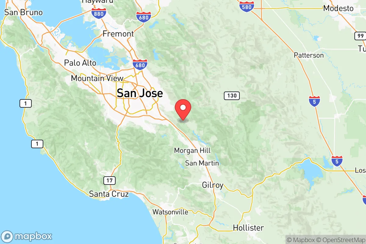
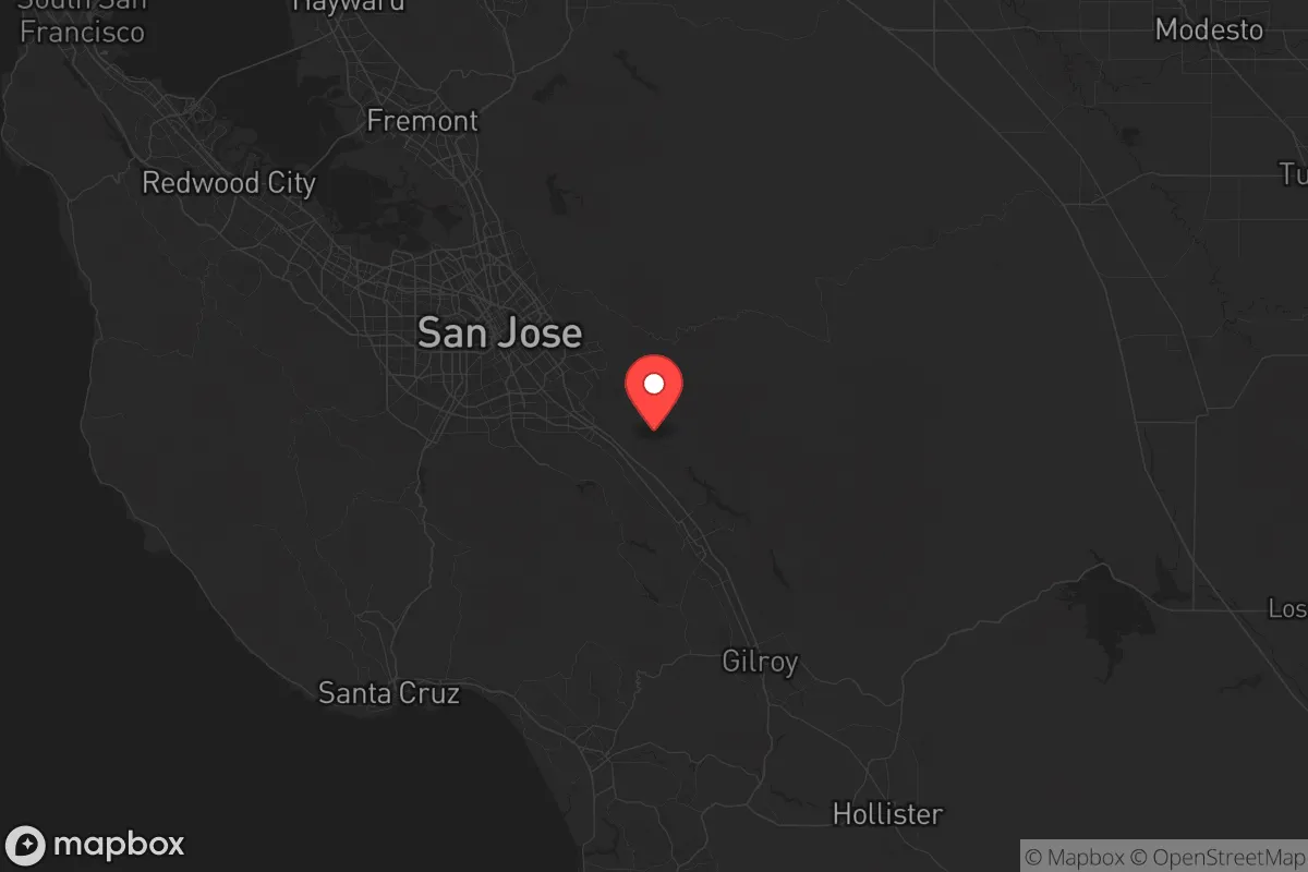
Strategic Assessment Analysis
Santa Clara County presents a paradox for the strategic relocator: it sits at the heart of one of the world’s most valuable economic engines, yet its very density and political monoculture create vulnerabilities that a conservative prepper cannot ignore. The county’s resilience is rooted in its geographic position—wedged between the Santa Cruz Mountains and the Diablo Range, with the San Francisco Bay to the north—but that same geography funnels threats into a narrow corridor. For a single individual or family weighing long-term security, the calculus here is less about immediate survival and more about whether the area’s wealth of resources can offset its exposure to cascading failures.
Geographic position and natural advantages for long-term security
Santa Clara County’s natural defenses are real but double-edged. The Santa Cruz Mountains form a rugged western barrier, while the Diablo Range blocks eastern access, creating a natural bowl that concentrates population and infrastructure along the US-101 and I-880 corridors. This topography makes the county difficult to approach overland from the coast or Central Valley, but it also means that any disruption to the handful of mountain passes—Highway 17 over the Santa Cruz Mountains, or Pacheco Pass (SR-152) to the east—can isolate the region entirely. The county’s Mediterranean climate, with mild, wet winters and dry summers, supports year-round agriculture in pockets like the Santa Clara Valley floor, but water is the Achilles’ heel: the county relies heavily on the Hetch Hetchy system (via San Francisco) and local reservoirs like Anderson Reservoir near Morgan Hill, which has been at reduced capacity due to seismic retrofitting since 2020. For a relocator, the natural advantages are real—ample sunshine, defensible terrain, and a long growing season—but they come with the understanding that the county’s 1.9 million residents are all competing for the same limited resources.
Risks, exposures, and proximity to fallout-relevant landmarks
The county’s risk profile is dominated by its proximity to high-value, high-target infrastructure. San Jose International Airport (SJC) and Moffett Field (a joint civil-military airfield in Mountain View) are obvious aviation targets, while the concentration of Silicon Valley’s data centers, semiconductor fabs, and R&D labs—including Apple Park in Cupertino and Google’s headquarters in Mountain View—makes the county a prime target for cyberattacks, EMP strikes, or physical sabotage. The Port of Redwood City, though smaller than Oakland’s, handles bulk cargo and fuels that could become secondary hazards. On the seismic front, the San Andreas Fault runs directly through the Santa Cruz Mountains, with the Hayward Fault just north in Alameda County; a major quake could sever the water pipelines, gas lines, and power corridors that feed the county. For the prepper, the biggest concern is the Caldecott Tunnel and the Dumbarton Bridge—chokepoints that, if compromised, would trap residents in the peninsula or force them into the East Bay’s chaos. The county’s dense urban core (San Jose, Sunnyvale, Santa Clara) means that any mass casualty event—whether natural or man-made—would produce a humanitarian crisis within a 10-mile radius of downtown San Jose, with limited egress routes.
Practical resilience for a relocator: food, water, energy, and defensibility
For a relocator looking to hunker down, Santa Clara County offers a mixed bag. Water is the most pressing concern: the county’s groundwater basins are overdrafted, and the Santa Clara Valley Water District imports about 60% of its supply from the Delta and Hetch Hetchy. A prolonged drought or infrastructure failure would force rationing, making rainwater catchment and well access critical—but wells are expensive and regulated, and most suburban lots lack space for cisterns. Food is more promising: the county still has working farms in the South County area (Gilroy, Morgan Hill) that produce garlic, berries, and wine grapes, and the San Jose Farmers Market network is robust. But the county’s food supply chain is heavily dependent on trucking through the Pacheco Pass and Altamont Pass—both vulnerable to disruption. Energy is a bright spot: the county has PG&E’s grid (notoriously unreliable in fire season) but also a growing number of community solar projects and backup battery installations in affluent neighborhoods. For defensibility, the foothill communities like Los Gatos, Saratoga, and Cupertino offer terrain that is easier to secure than the flat valley floor, but they also sit in high-fire-risk zones (the CZU Lightning Complex fire in 2020 burned through parts of the Santa Cruz Mountains). The South Bay’s suburban sprawl means that most homes are within walking distance of a major road, making them hard to defend against organized looters. A relocator’s best bet is a rural parcel in the Diablo Range foothills near San Antonio Valley or Mount Hamilton, where isolation and elevation provide natural buffers—but those areas lack water and are hours from medical care.
The overall strategic picture for Santa Clara County is one of high reward but equally high risk. The county’s wealth, infrastructure, and climate make it a tempting base for a prepper who can afford to stockpile supplies and invest in off-grid systems. But the density of population, the concentration of high-value targets, and the fragility of the water and transportation networks mean that a single event—a major earthquake, a cyberattack on the grid, or a civil unrest event in San Jose—could cascade into a region-wide crisis within 48 hours. For the conservative relocator, the county’s political climate (overwhelmingly Democratic, with strict gun laws and a “sanctuary” county policy) adds another layer of friction: self-reliance is tolerated but not supported, and local authorities may prioritize collective response over individual preparedness. If you have the resources to secure a defensible property in the foothills, maintain a deep pantry, and invest in solar-plus-battery backup, Santa Clara County can work as a long-term base. But for most single individuals and families, the trade-offs—especially the chokepoint geography and the proximity to Silicon Valley’s target-rich environment—make it a location to approach with eyes wide open, not a retreat you can count on when things go sideways.
* Values derived from national, state, county, city and local statistics and may differ in a specific area. Last updated: 2026-05-15T23:37:34.000Z
Narrative content on this page is AI-generated and may contain mistakes. Verify any details that matter before acting on them.
ReloMaps may earn a commission from affiliate links at no extra cost to you.