
Photo: Wikipedia
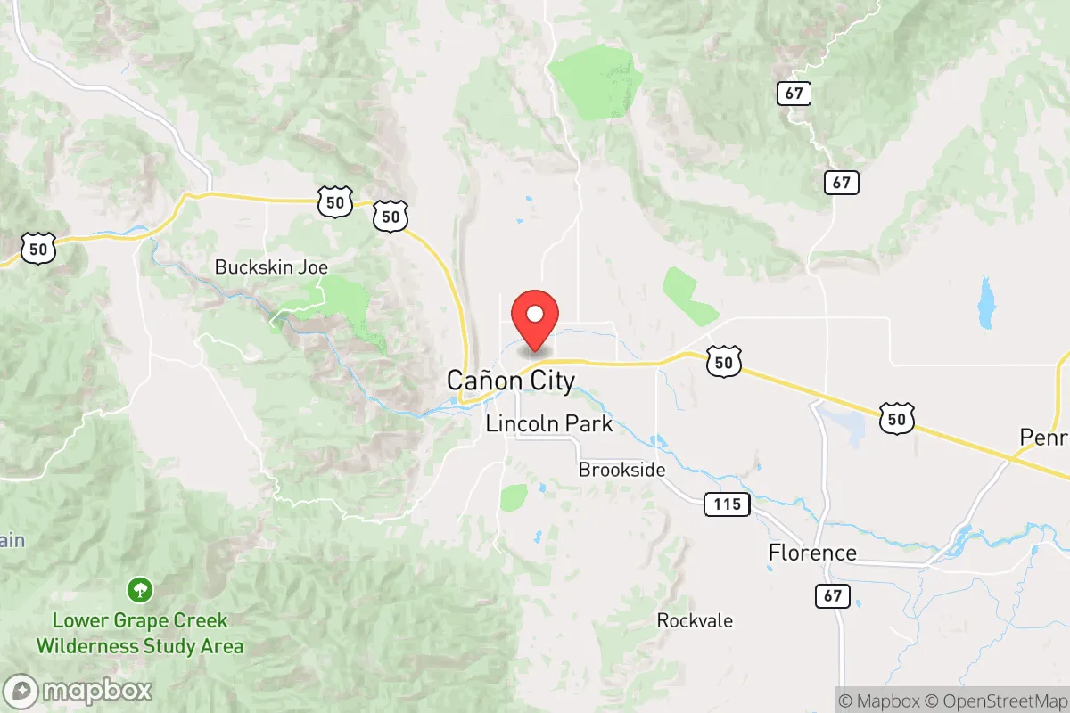
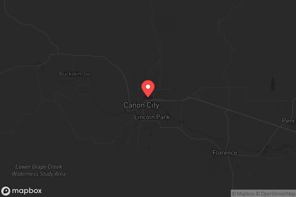
Strategic Assessment of Canon City, CO
Workable tactical position. Some exposure to population density or targets, but generally defensible in a crisis.
What does the Strategic Assessment tell us?
Our Strategic Assessment grades tactical survivability of an area. Major population centers, military targets, fallout zones, natural disasters, and border exposure all drive risk — lower exposure means a more defensible position in a crisis.
This is heavily inspired by Joel Skousen's Strategic Relocation book. Highly recommended you checkout the book ($)What does this tell us?
Our Strategic Assessment grades tactical survivability of an area. Major population centers, military targets, fallout zones, natural disasters, and border exposure all drive risk — lower exposure means a more defensible position in a crisis.
This is heavily inspired by Joel Skousen's Strategic Relocation book. Highly recommended you checkout the book ($)Strategic Pillars

Key Distances
Regional Safe Places
Below is our recommended "safe zones" in Colorado and the surrounding area based on our strategic heuristics. For most people, it's unrealistic to live in a “safe zone” full-time due to work, family or other personal reasons. They tend to be more rural. However, many of these areas are perfect for second homes and retreat properties that double as a vacation home or even a short-term rental.


Important Note: For informational purposes only. This does not mean nothing bad ever happens in the green zones. Please use common sense. This is based on public data and modeled with AI. We tried to take a conservative approach but mistakes happen. We update this regularly as new information becomes available.
Solar Generator Recommendations
Backup power matters more here than in safer locations. We've picked three solar generators across budgets and capacity tiers — start with the budget unit if you only need a few essentials, or step up if you want to run a fridge and HVAC for days at a time.

Jackery Portable Power Station Explorer 300
Budget OptionPower on the Go: Weighing only 11 lbs, it's convenient to set up and store with book-sized foldable solar panels

BLUETTI Portable Power Station AC180
Designed for both indoor and outdoor scenarios, AC180 is highly capable as it has a robost capacity and continuous output power.

EF ECOFLOW DELTA Pro Ultra Power Station
Upgraded PickEcoFlow DELTA Pro Ultra is a whole-home energy system designed to grow with your family. Integrated with the Smart Home Panel 2, it scales to meet your evolving energy needs — keeping your home powered, intelligent, and secure through every stage of life.
We earn a commission, at no additional cost to you.
Strategic Assessment Analysis
Canon City, Colorado, offers a compelling mix of geographic isolation and practical self-sufficiency that makes it a serious contender for anyone thinking long-term about resilience. Tucked against the Arkansas River and the foothills of the Sangre de Cristo range, this town of roughly 17,000 people sits far enough from the Front Range chaos to breathe, but close enough to access resources if needed. For a relocator with a prepper mindset, the key question isn't whether Canon City is perfect—it's whether the trade-offs between natural advantages and real-world risks tilt in your favor. The short answer: they do, provided you understand the specific exposures and plan accordingly.
Geographic position and natural advantages for long-term security
Canon City's location is its strongest card. It sits at the eastern edge of the Rocky Mountains, where the Arkansas River cuts a deep canyon through the foothills, creating a natural choke point. The town is roughly 40 miles southwest of Colorado Springs and 120 miles south of Denver, placing it outside the immediate blast radius of any major urban target while still allowing supply runs or medical access if the roads hold. The surrounding terrain is a mix of high desert mesas, piñon-juniper forests, and steep canyon walls—difficult to traverse without local knowledge, which works in favor of anyone trying to maintain a low profile. The Arkansas River provides a reliable surface water source, and the area's average 14 inches of annual precipitation means you're not in a dust bowl, though irrigation will be necessary for serious food production. The elevation—around 5,300 feet—keeps summers mild and winters cold but manageable, with snowpack in the nearby Sangre de Cristos acting as a natural water reservoir. For a survivalist, the ability to control access to your property via the narrow canyon roads is a tangible defensive advantage, and the Bureau of Land Management (BLM) land to the west and south offers buffer zones that are hard to replicate closer to the Front Range.
Risks, exposures, and proximity to fallout-relevant landmarks
No location is a fortress, and Canon City has specific vulnerabilities that a strategic relocator must acknowledge. The most obvious is the Royal Gorge Bridge and Park, a major tourist attraction that draws over a million visitors annually. In a collapse scenario, that many transient people could become a liability—stranded tourists, resource competition, and potential security issues if the bridge or nearby highway 50 becomes a choke point. More critically, Canon City is downwind of the Front Range urban corridor, including Colorado Springs (home to Peterson Space Force Base, Fort Carson, and NORAD's Cheyenne Mountain complex). In a nuclear exchange or major terrorist event targeting military infrastructure, prevailing westerlies could carry fallout toward the Arkansas Valley. The town itself is also within 30 miles of the U.S. Department of Energy's Rocky Flats (though it's a cleanup site, not active), and the Pueblo Chemical Depot is about 50 miles east—both are potential secondary targets or contamination sources. Wildfire risk is real: the 2018 Hayden Pass Fire and 2020's multiple Front Range fires show that dry conditions and wind can turn the surrounding forests into a threat. Flooding along the Arkansas River is periodic but manageable with proper siting. The Fremont County Correctional Facility and the Colorado State Penitentiary are located just south of town, housing thousands of inmates—in a breakdown of civil order, that population could become a security concern if the facility is compromised.
Practical resilience for a relocator: food, water, energy, and defensibility
For someone serious about self-sufficiency, Canon City's practical infrastructure is a mixed bag that rewards preparation. Water is the biggest win: the Arkansas River runs year-round, and the area's alluvial aquifers are accessible via shallow wells in many parts of the valley. The Canon City Municipal Water system draws from the river, but a prepper should plan on a private well with a hand pump or solar-powered backup. Food production is viable but not effortless: the growing season runs about 150 days, with hot summers that support corn, beans, squash, and hardy greens. The soil is alkaline and rocky in places, so raised beds or imported topsoil will be necessary for serious yields. Local agriculture is limited—a few small farms and orchards—so you can't rely on buying from neighbors in a crisis. Energy independence is achievable: the area averages over 300 days of sunshine per year, making solar a no-brainer. Wind is inconsistent in the valley but picks up on the mesas. Firewood is abundant from piñon and juniper, but those species burn hot and fast—you'll want a wood stove designed for dense, resinous wood. Defensibility is excellent for a small group: the canyon geography means most properties have limited approaches, and the surrounding BLM land offers escape routes into the mountains if needed. The town itself has a small but active sheriff's office and a local police force, but in a prolonged crisis, you're largely on your own. The nearest major hospital is in Pueblo (45 minutes), and the local St. Thomas More Hospital is a critical access facility—fine for stitches or broken bones, but not for trauma surgery. Stockpile medical supplies accordingly.
The overall strategic picture for Canon City is one of calculated trade-offs. It's not a bunker—it's a working-class town with a prison, a tourist attraction, and a river that gives as much as it takes. For a conservative-leaning relocator who values distance from urban targets, access to water, and defensible terrain, it ranks well above most Front Range options. The risks—wildfire, fallout from military installations, and the prison population—are real but manageable with proper planning and site selection. The key is to avoid the obvious pitfalls: don't buy in the floodplain, don't rely on the tourist economy, and don't assume the local government will be functional in a crisis. If you can secure a property with a well, solar, and a defensible position on the canyon rim or a mesa, Canon City gives you a solid foundation for riding out the storm. It's not a paradise—but in a world where the Front Range is a target and the coasts are a gamble, this little valley offers a fighting chance.
* Values derived from national, state, county, city and local statistics and may differ in a specific area. Last updated: 2026-05-03T04:43:22.000Z
Narrative content on this page is AI-generated and may contain mistakes. Verify any details that matter before acting on them.
ReloMaps may earn a commission from affiliate links at no extra cost to you.