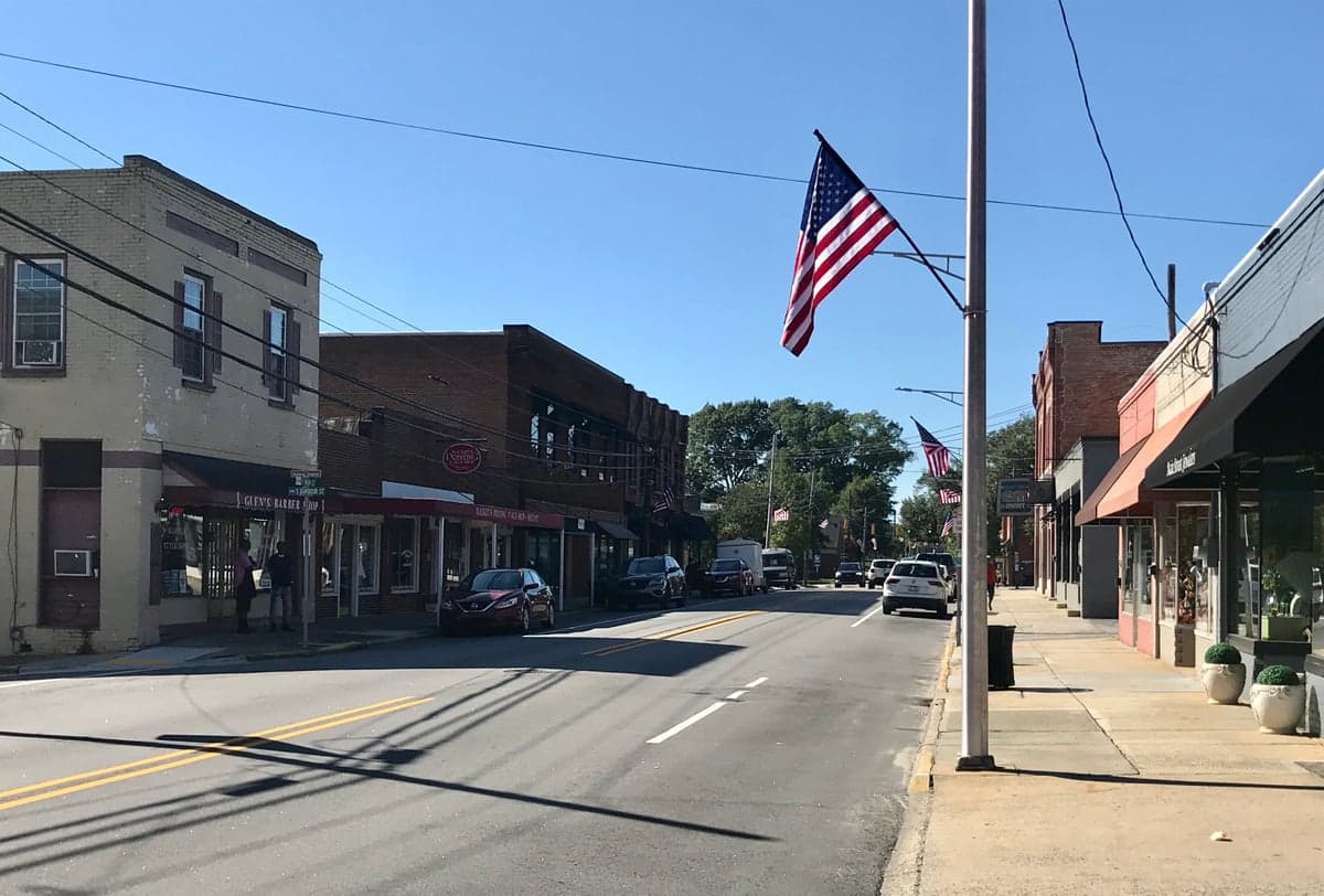
Photo: Wikipedia
Strategic Assessment of Clayton, NC
Meaningful friction. Expect exposure to either population pressure, blast zones, or natural disaster risk. Consider buying a retreat property.
What does the Strategic Assessment tell us?
Our Strategic Assessment grades tactical survivability of an area. Major population centers, military targets, fallout zones, natural disasters, and border exposure all drive risk — lower exposure means a more defensible position in a crisis.
This is heavily inspired by Joel Skousen's Strategic Relocation book. Highly recommended you checkout the book ($)What does this tell us?
Our Strategic Assessment grades tactical survivability of an area. Major population centers, military targets, fallout zones, natural disasters, and border exposure all drive risk — lower exposure means a more defensible position in a crisis.
This is heavily inspired by Joel Skousen's Strategic Relocation book. Highly recommended you checkout the book ($)Strategic Pillars

Key Distances
Regional Safe Places
Below is our recommended "safe zones" in North Carolina and the surrounding area based on our strategic heuristics. For most people, it's unrealistic to live in a “safe zone” full-time due to work, family or other personal reasons. They tend to be more rural. However, many of these areas are perfect for second homes and retreat properties that double as a vacation home or even a short-term rental.


Important Note: For informational purposes only. This does not mean nothing bad ever happens in the green zones. Please use common sense. This is based on public data and modeled with AI. We tried to take a conservative approach but mistakes happen. We update this regularly as new information becomes available.
Solar Generator Recommendations
Backup power matters more here than in safer locations. We've picked three solar generators across budgets and capacity tiers — start with the budget unit if you only need a few essentials, or step up if you want to run a fridge and HVAC for days at a time.

Jackery Portable Power Station Explorer 300
Budget OptionPower on the Go: Weighing only 11 lbs, it's convenient to set up and store with book-sized foldable solar panels

BLUETTI Portable Power Station AC180
Designed for both indoor and outdoor scenarios, AC180 is highly capable as it has a robost capacity and continuous output power.

EF ECOFLOW DELTA Pro Ultra Power Station
Upgraded PickEcoFlow DELTA Pro Ultra is a whole-home energy system designed to grow with your family. Integrated with the Smart Home Panel 2, it scales to meet your evolving energy needs — keeping your home powered, intelligent, and secure through every stage of life.
We earn a commission, at no additional cost to you.
Strategic Assessment Analysis
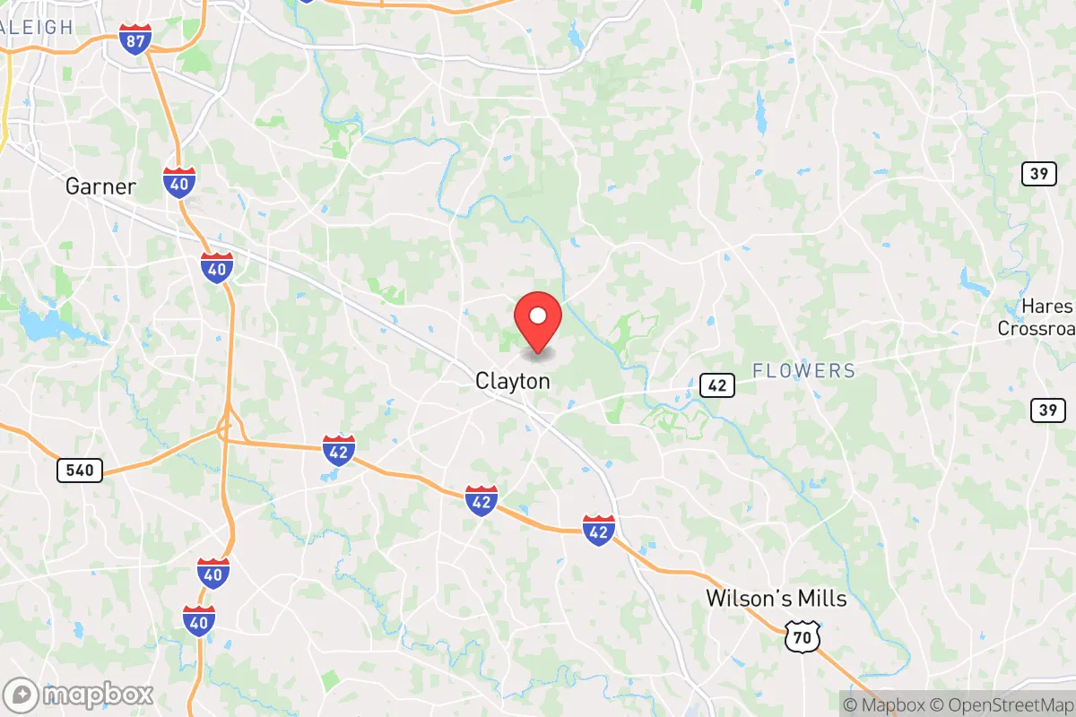
Clayton, North Carolina, offers a surprisingly strong strategic position for those prioritizing resilience and self-sufficiency, provided you understand its proximity to major risks. Located in Johnston County, roughly 15 miles southeast of Raleigh, it sits in a sweet spot: close enough to access urban resources but far enough to avoid the immediate blast radius and worst civil unrest of a major city. The area’s growth has been explosive—population jumped from about 16,000 in 2010 to over 30,000 by 2025—but that growth has brought infrastructure strain and increased visibility to a region that was once a quiet farming crossroads. For a relocator with a prepper mindset, Clayton’s real value lies in its agricultural heritage, relatively low crime rates, and the ability to tap into a network of smaller, more defensible communities in eastern North Carolina.
Geographic position and natural advantages for long-term survival
Clayton’s geography is a double-edged sword, but the advantages are real. The town sits on the Neuse River, which provides a reliable freshwater source—critical for any long-term scenario where municipal water systems fail. The surrounding Johnston County is flat, fertile farmland, meaning local food production is viable without heavy infrastructure. The climate is temperate, with a growing season of roughly 220 days, allowing for year-round gardening and livestock operations. The area is also far enough inland to avoid the worst of hurricane storm surge (the coast is 100+ miles east), though you’ll still deal with tropical storms and occasional flooding along the Neuse. For a survivalist, the key natural advantage is the region’s low population density outside the immediate town limits—drive 15 minutes in any direction and you’re in rural country with creeks, woodlots, and abandoned farmsteads that offer concealment and resources. The Piedmont terrain is rolling, not mountainous, which means good drainage and fewer choke points for movement, but also less natural cover than the Appalachians. If you’re looking for a base that can support a retreat without being completely isolated, Clayton’s geography works—but only if you secure land outside the town’s expanding suburban sprawl.
Risks, exposures, and proximity to fallout-relevant landmarks
The biggest strategic liability for Clayton is its proximity to Raleigh-Durham, a major metropolitan area with a population of over 2 million. In a scenario involving civil unrest, mass casualty events, or a nuclear incident, Clayton sits within the likely fallout zone of any strike on Raleigh or the Research Triangle Park (RTP), which houses biotech and defense contractors. The town is also directly under the flight path for Raleigh-Durham International Airport (RDU) and is within 30 miles of Fort Liberty (formerly Fort Bragg), one of the largest military installations in the world. A military base that size is a prime target in any conflict, and the fallout or secondary effects—refugee flows, martial law, supply chain disruptions—would hit Clayton hard. The town’s location along I-40 and US-70 means it’s a natural corridor for evacuation traffic from the coast and from Raleigh, which could turn into a chokepoint during a crisis. On the plus side, Johnston County has no nuclear power plants (the nearest is Harris Plant in Wake County, about 20 miles west), and the area’s industrial base is light manufacturing and agriculture, not heavy industry that would be a target. The real risk is being caught between the urban collapse of Raleigh and the military chaos of Fort Liberty. If you’re serious about strategic relocation, Clayton is a buffer zone, not a final redoubt—you’d want to have a secondary retreat further east, toward Goldsboro or the coastal plain, for a true bug-out option.
Practical resilience for a relocator: food, water, energy, and defensibility
For a relocator focused on day-to-day preparedness, Clayton offers a mixed bag. Food security is the strongest asset: Johnston County is one of North Carolina’s top agricultural producers, with sweet potatoes, tobacco, soybeans, and livestock operations dominating the landscape. You can buy raw land for $5,000–$10,000 per acre in the county’s rural pockets, and many properties already have wells and septic systems. The local farmers’ markets and co-ops (like the Clayton Farm and Community Market) provide direct access to growers, and the area has a strong tradition of hunting—deer, turkey, and small game are abundant. Water is reliable but requires planning: the Neuse River is a surface water source, but it’s also a vector for contamination during floods or industrial spills. A well with a hand pump is non-negotiable here, and you’ll want to test for agricultural runoff (nitrates from fertilizer are common). Energy resilience is weak: Duke Energy dominates the grid, and power outages are frequent during summer thunderstorms and winter ice storms. Solar is viable (the region gets about 210 sunny days per year), but you’ll need battery storage and a backup generator for the cloudy stretches. Natural gas is available in town but not in rural areas, so propane tanks are the standard for off-grid heating. Defensibility is the biggest concern: Clayton is flat, open, and bisected by major roads. A single-family home on a suburban lot offers zero tactical advantage. The best properties are those with tree lines, creek buffers, and at least 10 acres of separation from neighbors. The local law enforcement (Johnston County Sheriff’s Office) is professional and conservative-leaning, but response times in rural areas can exceed 20 minutes. For a single individual or family, the practical play is to buy land outside Clayton proper, establish a well-stocked retreat with a garden and rainwater catchment, and use Clayton as a supply hub for hardware, medical supplies, and bulk goods from the local Tractor Supply and Lowe’s. The town’s proximity to Raleigh also means you can access specialty prepper gear (ham radios, water filters, medical kits) without a long drive—but don’t rely on being able to get there during a crisis.
The overall strategic picture for Clayton is that of a transitional zone—not a fortress, but a viable base for those who understand its limitations. If you’re looking for a place to ride out a short-term disruption (a week-long power outage, a localized riot, a supply chain hiccup), Clayton’s infrastructure and community networks will serve you well. For a long-term collapse scenario involving nuclear exchange, civil war, or pandemic breakdown, Clayton is too close to too many targets and too exposed geographically to be a final stand. The smart move is to treat it as a waypoint: establish a primary residence here for the day-to-day benefits (good schools, low crime, affordable land), but maintain a fully stocked bug-out location at least 50 miles east, past Goldsboro, where the population density drops and the agricultural self-sufficiency increases. Johnston County’s politics lean conservative (Trump won the county by 18 points in 2020), and the local culture is still rooted in farming and self-reliance, which aligns with a prepper mindset. But don’t mistake that cultural alignment for physical security. Clayton is a good place to build a life, not a bunker. If you’re serious about strategic relocation, buy the land, dig the well, plant the garden, and keep your go-bag packed for the day you need to move further out.
* Values derived from national, state, county, city and local statistics and may differ in a specific area. Last updated: 2026-05-03T20:26:20.000Z
Narrative content on this page is AI-generated and may contain mistakes. Verify any details that matter before acting on them.
ReloMaps may earn a commission from affiliate links at no extra cost to you.