
Photo: Wikipedia
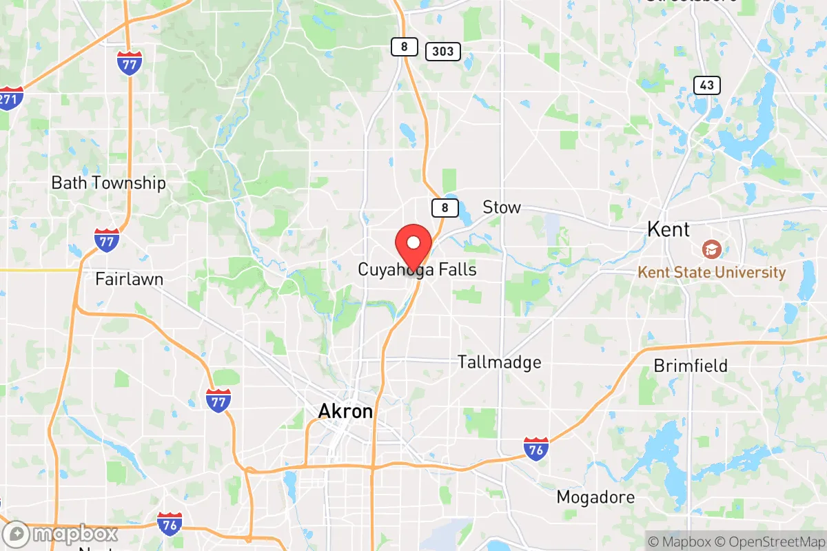
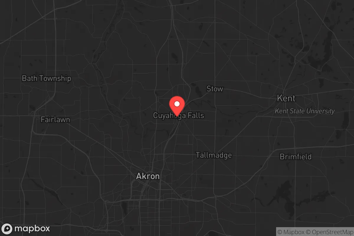
Strategic Assessment of Cuyahoga Falls, OH
Meaningful friction. Expect exposure to either population pressure, blast zones, or natural disaster risk. Consider buying a retreat property.
What does the Strategic Assessment tell us?
Our Strategic Assessment grades tactical survivability of an area. Major population centers, military targets, fallout zones, natural disasters, and border exposure all drive risk — lower exposure means a more defensible position in a crisis.
This is heavily inspired by Joel Skousen's Strategic Relocation book. Highly recommended you checkout the book ($)What does this tell us?
Our Strategic Assessment grades tactical survivability of an area. Major population centers, military targets, fallout zones, natural disasters, and border exposure all drive risk — lower exposure means a more defensible position in a crisis.
This is heavily inspired by Joel Skousen's Strategic Relocation book. Highly recommended you checkout the book ($)Strategic Pillars

Key Distances
Regional Safe Places
Below is our recommended "safe zones" in Ohio and the surrounding area based on our strategic heuristics. For most people, it's unrealistic to live in a “safe zone” full-time due to work, family or other personal reasons. They tend to be more rural. However, many of these areas are perfect for second homes and retreat properties that double as a vacation home or even a short-term rental.

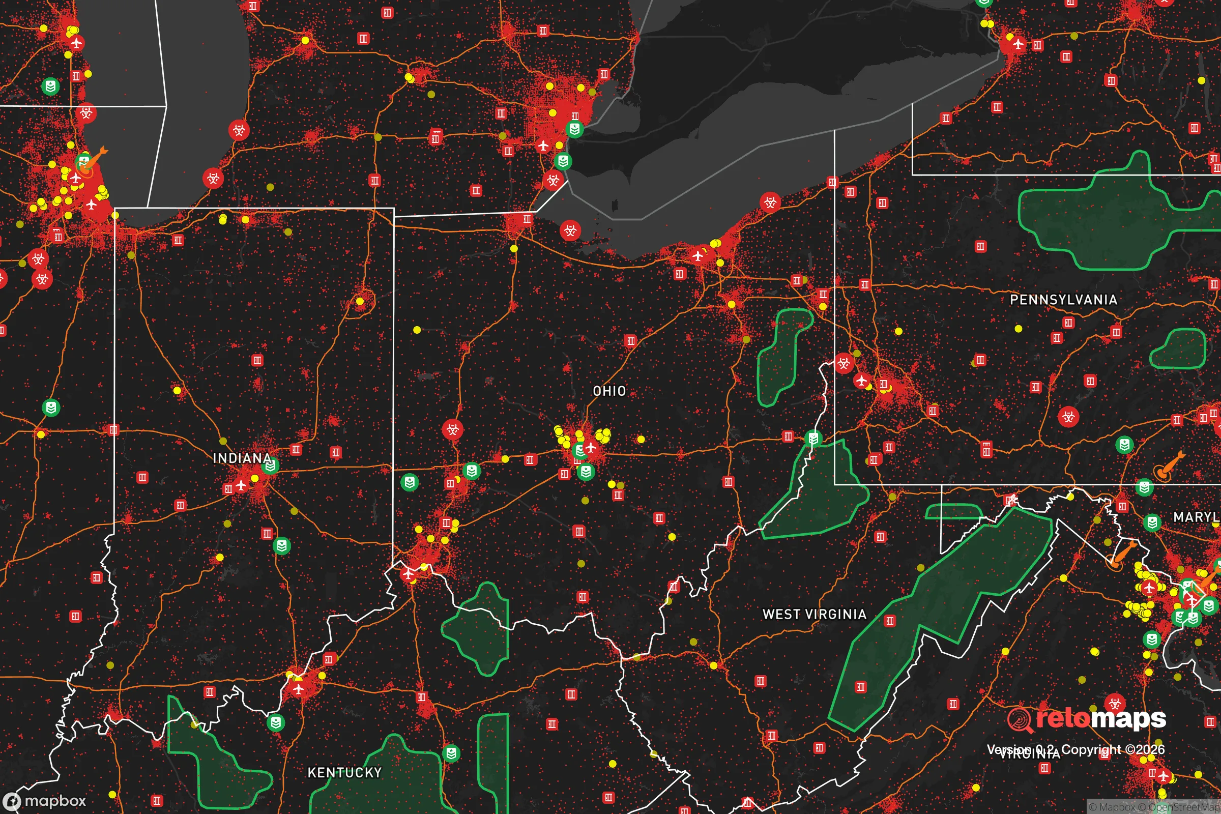
Important Note: For informational purposes only. This does not mean nothing bad ever happens in the green zones. Please use common sense. This is based on public data and modeled with AI. We tried to take a conservative approach but mistakes happen. We update this regularly as new information becomes available.
Solar Generator Recommendations
Backup power matters more here than in safer locations. We've picked three solar generators across budgets and capacity tiers — start with the budget unit if you only need a few essentials, or step up if you want to run a fridge and HVAC for days at a time.

Jackery Portable Power Station Explorer 300
Budget OptionPower on the Go: Weighing only 11 lbs, it's convenient to set up and store with book-sized foldable solar panels

BLUETTI Portable Power Station AC180
Designed for both indoor and outdoor scenarios, AC180 is highly capable as it has a robost capacity and continuous output power.

EF ECOFLOW DELTA Pro Ultra Power Station
Upgraded PickEcoFlow DELTA Pro Ultra is a whole-home energy system designed to grow with your family. Integrated with the Smart Home Panel 2, it scales to meet your evolving energy needs — keeping your home powered, intelligent, and secure through every stage of life.
We earn a commission, at no additional cost to you.
Strategic Assessment Analysis
Cuyahoga Falls, Ohio, sits in a deceptive pocket of the Midwest that offers more strategic depth than its modest reputation suggests. Nestled along the Cuyahoga River and the edge of the Cuyahoga Valley National Park, this city of roughly 50,000 people provides a rare combination: proximity to the economic engine of Northeast Ohio without being swallowed by the chaos of a major urban core. For a relocator thinking in terms of resilience—civic stability, resource access, and defensible geography—this area deserves a hard look, but only with eyes wide open to its vulnerabilities.
Geographic position and natural advantages for long-term stability
Cuyahoga Falls benefits from a location that is both sheltered and connected. It sits about 30 miles south of Lake Erie and roughly 25 miles north of the Akron-Canton area, placing it in a corridor that avoids the direct blast radius of any single major target. The Cuyahoga River cuts through the city, providing a natural water source and a topographic buffer—the steep gorge and valley walls create micro-terrain that breaks up sightlines and offers defensible pockets. The city is also adjacent to the Cuyahoga Valley National Park, a 33,000-acre greenbelt of forest, wetlands, and rolling hills. In a grid-down scenario, that park becomes a massive resource for foraging, hunting, and off-grid movement. The area sits on the Allegheny Plateau, meaning the terrain is not flat farmland but hilly and wooded, which slows any large-scale movement and provides natural cover. For a prepper, this is a meaningful advantage over the pancake-flat landscapes of western Ohio or Indiana.
The climate is temperate but not extreme—winters bring snow, but not the lake-effect hammering that Buffalo or Cleveland proper gets. Summers are warm and humid, supporting a long growing season for gardens. The region sits atop the Mahoning Aquifer and has abundant groundwater, a critical factor for long-term water security. The city’s elevation (roughly 1,000 feet) keeps it above most floodplains, though the river valley itself can flood. Overall, the geography here is a net positive: enough isolation to avoid the worst of urban collapse, but enough connectivity to maintain supply lines if things stay stable.
Risks, exposures, and proximity to fallout-relevant landmarks
This is where the analysis gets serious. Cuyahoga Falls is 25 miles from Cleveland, a major Great Lakes port and industrial hub that would be a high-priority target in any large-scale conflict. The city is also 15 miles from Akron, which hosts polymer and rubber manufacturing that could be considered strategic infrastructure. The proximity to I-76, I-77, and the Ohio Turnpike means that any evacuation or military movement would funnel through this area, creating choke points and potential conflict zones. The Cuyahoga River itself flows into Lake Erie, and the lake’s water intake plants are vulnerable to contamination or sabotage. If Cleveland or Akron experiences a major event—whether from a dirty bomb, a cyberattack on the grid, or civil unrest—Cuyahoga Falls would see a massive influx of refugees from the south and north.
There are also specific industrial risks. The city itself has a history of chemical manufacturing, and the nearby BASF plant in Wyandotte (though in Michigan) is part of a regional chemical corridor. The Davis-Besse nuclear power plant sits about 60 miles west near Toledo, and while that’s outside the immediate fallout zone, prevailing winds from the west could carry contamination. More concerning is the Perry Nuclear Power Plant, about 45 miles northeast, which is closer and sits on Lake Erie. A worst-case scenario there would put Cuyahoga Falls in a moderate fallout zone depending on wind direction. The city also has a major natural gas pipeline running through Summit County, which is a vulnerability for both explosion risk and as a target for sabotage. For a survivalist, these are not deal-breakers, but they demand a layered defense plan—stockpiling potassium iodide, having a route east or south, and maintaining situational awareness of regional events.
Practical resilience for a relocator: food, water, energy, and defensibility
For a single individual or a family looking to hunker down, Cuyahoga Falls offers a mixed bag. On the positive side, the city has a strong local food system. The Cuyahoga Falls Farmers Market runs seasonally, and the surrounding area has dozens of small farms, u-pick orchards, and Amish markets within a 30-minute drive. The Cuyahoga Valley National Park allows limited hunting (with a permit), and deer are plentiful. The river provides fish, though industrial runoff means you’ll want to test the water before relying on it. For long-term food storage, the city has several big-box stores (Walmart, Meijer) and a Costco in nearby Macedonia, but these would be stripped within hours of a crisis. A serious prepper would need to establish relationships with local farmers or build a substantial pantry.
Water is a strength. The Cuyahoga River is perennial, and the city’s water treatment plant draws from the river and the aquifer. In a grid-down scenario, the river is a reliable surface water source, but it requires filtration and boiling due to upstream industrial and agricultural runoff. The hilly terrain also means many homes have basements that can be converted into cisterns or root cellars. For energy, the region is served by FirstEnergy, and the grid is aging but not unusually fragile. Solar is viable—the area gets about 160 sunny days per year, which is below the national average but workable with a good battery bank. Wood heat is a major advantage here: the national park and surrounding forests provide ample firewood, and many homes already have fireplaces or wood stoves. Propane is widely available, and there are several local suppliers.
Defensibility is where the city’s layout matters. The downtown area is compact and walkable, but the residential neighborhoods are spread out with winding roads and cul-de-sacs that create natural chokepoints. The river gorge acts as a barrier to the east, and the national park provides a buffer to the south. However, the city is not a fortress—it has multiple entry points via state routes 8, 59, and 91, and the interstate is close. A determined group could be slowed but not stopped. For a family, the best strategy is to choose a home on the eastern side of the river, closer to the park, where terrain is rougher and access is limited. Avoid properties near the major retail corridors or the interstate exits, which would be the first areas to see looting or refugee flows.
The community itself is a mixed factor. Cuyahoga Falls has a strong sense of local identity and a relatively low crime rate compared to Akron or Cleveland. The police department is well-funded and has a good reputation. But the political culture is moderate—the city leans slightly conservative but is surrounded by more liberal suburbs. In a crisis, this could mean less ideological cohesion, but it also means less likelihood of extreme factionalism. The local churches and community centers are active and could serve as coordination hubs. For a prepper, the key is to keep a low profile, build relationships with neighbors who share your mindset, and avoid drawing attention to your supplies.
Overall, Cuyahoga Falls is a viable but not ideal relocation target for a survivalist. It offers solid natural resources, defensible terrain, and proximity to wilderness, but it is dangerously close to major urban targets and industrial infrastructure. The best-case scenario is that the region remains stable and you enjoy a comfortable, affordable life with good schools and outdoor recreation. The worst-case scenario is that you are caught in the spillover from a Cleveland or Akron collapse, with refugees, supply chain disruptions, and potential contamination. The smart play is to treat this as a layered defense position: use it as a base for building skills and stockpiles, but have a secondary bug-out location farther east (into the Appalachian foothills) for a true SHTF event. If you’re willing to put in the work and stay vigilant, Cuyahoga Falls can be a solid anchor in an uncertain future. Just don’t mistake its quiet charm for safety—it’s a calculated risk, not a sanctuary.
* Values derived from national, state, county, city and local statistics and may differ in a specific area. Last updated: 2026-04-19T05:04:40.000Z
Narrative content on this page is AI-generated and may contain mistakes. Verify any details that matter before acting on them.
ReloMaps may earn a commission from affiliate links at no extra cost to you.