
Photo: Wikipedia
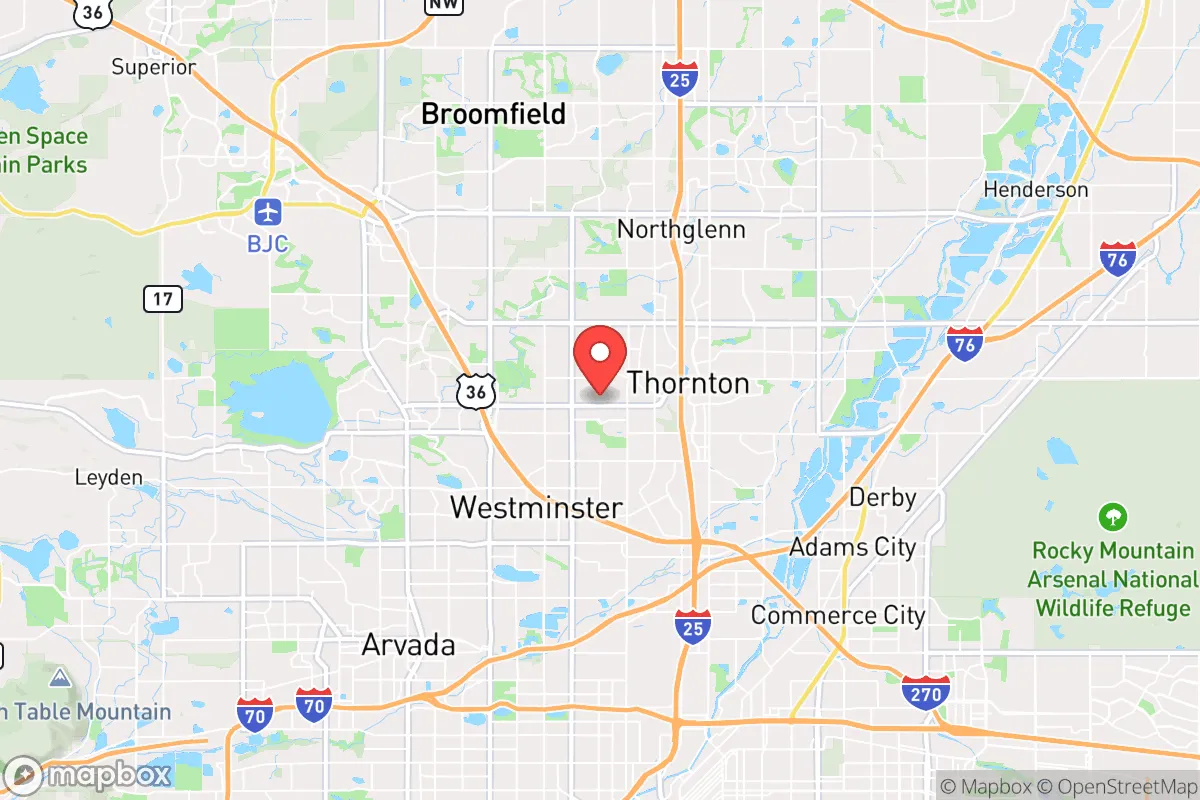
Quality of Life in Federal Heights, CO
Above-average quality of iife. The area offers a reasonable cost of living, decent mobility, and a mix of neighborhood amenities.
What does Quality of Life tell us?
Quality of Life blends cost of living, nearby amenities, socioeconomic signals, and neighborhood character. City-level scores represent the whole municipality; individual neighborhoods can differ.
What does this tell us?
Quality of Life blends cost of living, nearby amenities, socioeconomic signals, and neighborhood character. City-level scores represent the whole municipality; individual neighborhoods can differ.
Cost of Living
2% below national average
The Real Cost of Living in Federal Heights, CO for 2026
| Tier | Individual | Family (4) |
|---|---|---|
| Survival | $19k | $36k |
| Comfortable | $29k | $43k |
| Luxury | $78k+ | $121k+ |
| Elite (Top 5%) | $92k+ | $142k+ |
136%
The Area Signal
A metric tracking the socioeconomic signals of the area.
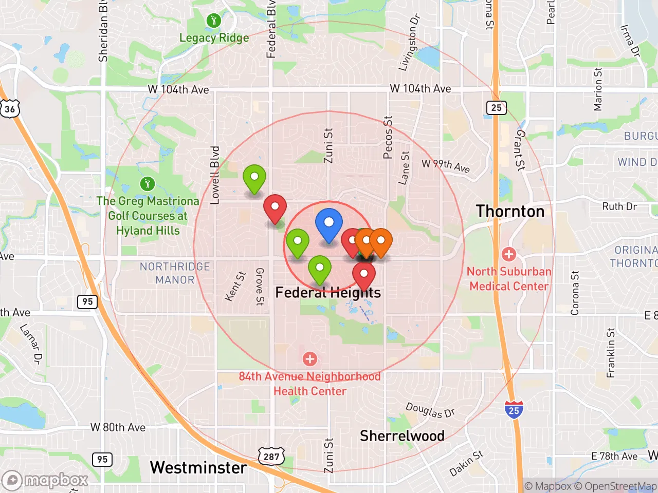
Hobbies
Explore the areaGroceries
6 within 10 miles
Gas
20 within 10 miles
Hospital
20 within 20 miles
Airport
DEN — Denver International
Post Office
USPS — Westminster, CO
Critical Amenities
Quality-of-Life Analysis
Federal Heights, Colorado, presents a distinct quality-of-life profile within the Denver metro area, characterized by its status as one of the more affordable enclaves in a region known for rising costs. With a cost of living index of 98—just below the national average of 100—the city attracts a mix of working-class families, first-time homebuyers, and long-term renters who prioritize budget-conscious living over the premium amenities of pricier suburbs. The population skews younger and more diverse than many neighboring communities, creating a practical, no-frills atmosphere where daily life centers on affordability and access to the broader Front Range job market.
How housing costs and affordability compare to nearby Denver suburbs
The most striking feature of Federal Heights is its housing affordability relative to the rest of the Denver-Aurora-Lakewood metropolitan area. The median home value sits at $91,300, a figure that is dramatically lower than the metro-wide median of roughly $550,000 and even undercuts nearby cities like Thornton ($480,000) and Westminster ($500,000). This price point reflects a housing stock dominated by older, smaller single-family homes and a significant number of manufactured homes and condominiums. For renters, the median rent of $1,655 is more aligned with metro averages, though still below the Denver city median of approximately $1,800. The average commute time of 31.6 minutes is slightly above the national average but typical for the region, as most residents drive to employment hubs in Denver, Broomfield, or along the I-25 corridor. While the low home values make entry into homeownership feasible, property taxes and insurance rates are in line with Adams County norms, meaning the monthly carrying cost remains manageable compared to the rest of the Front Range.
What daily life is like for families: amenities, schools, and local rhythm
Daily life in Federal Heights is shaped by its compact geography—just under two square miles—and its role as a bedroom community within the larger Adams County system. The city is served by Adams County School District 14, which includes Federal Heights Elementary and the nearby Adams City High School; district performance metrics generally trail state averages, which is a key consideration for families prioritizing education. For shopping and dining, residents rely heavily on the adjacent commercial corridors of Thornton and Westminster, particularly along Federal Boulevard and 104th Avenue, which offer big-box retailers, grocery chains, and fast-casual restaurants. The city itself has limited green space, though the nearby Rocky Mountain Arsenal National Wildlife Refuge provides 15,000 acres of hiking and wildlife viewing just a 10-minute drive east. The local rhythm is quiet and residential, with a notable absence of nightlife or cultural venues; most social and recreational activity happens in the surrounding larger suburbs. Public transit access is modest, with RTD bus routes connecting to the Thornton park-n-Ride and light rail stations in Denver, but the majority of residents depend on personal vehicles for errands and commuting.
Federal Heights is best suited for budget-conscious buyers and renters who need proximity to Denver’s job market without the high housing costs of the core city or its affluent suburbs. First-time homebuyers willing to invest in an older property, long-term renters seeking below-market rates, and workers in trades or service industries who commute to the metro area will find the financial math favorable here. However, families seeking top-tier schools, extensive local amenities, or a walkable urban environment should look to nearby Thornton or Westminster. For those who prioritize affordable shelter over lifestyle perks and are comfortable relying on neighboring cities for most services, Federal Heights offers a rare entry point into homeownership in one of Colorado’s most expensive regions.
Crime in Federal Heights, CO
Crime rates similar to the national median for U.S. locations.
Violent CrimeViolent Crime Analysis
Property CrimeProperty Crime Analysis
Crime Analysis
Federal Heights, Colorado, presents a challenging safety landscape for prospective residents, with crime rates that significantly exceed both state and national averages. The city's violent crime rate stands at 591.3 incidents per 100,000 residents, while property crime occurs at a rate of 2,293.2 per 100,000. These figures place Federal Heights among the higher-crime communities in the Denver metropolitan area, a region where progressive criminal justice policies have been linked to reduced prosecution rates and increased recidivism.
Crime in context
Federal Heights' violent crime rate is roughly 60% higher than the national average and more than double the Colorado state average. The property crime rate similarly exceeds national benchmarks by approximately 30%. These statistics reflect a broader trend in the Denver metro area, where district attorneys in Adams and Denver counties have implemented progressive charging policies, including reduced bail requirements and diversion programs for repeat offenders. Critics argue these approaches prioritize offender rehabilitation over public safety, contributing to the elevated crime rates seen in communities like Federal Heights. The city's proximity to major highways and its dense, lower-income housing stock also create conditions that can attract property crime.
What residents experience
For those living in Federal Heights, the statistical risks translate into tangible daily concerns. Residents report frequent incidents of vehicle break-ins, package theft, and vandalism, particularly in apartment complexes and near the city's commercial corridors along Federal Boulevard. Violent crime, while less common than property crime, includes aggravated assaults and robberies that often occur late at night or in isolated areas. The city's police department, part of the Adams County Sheriff's Office jurisdiction, has limited resources relative to the population density, meaning response times can be slower than in neighboring suburbs. Many long-term residents advise newcomers to invest in security systems, avoid walking alone after dark, and remain vigilant in parking lots and near transit stops.
Neighborhood-level variation
Crime in Federal Heights is not uniformly distributed. The area around the Federal Heights City Center and the commercial strip along 84th Avenue sees the highest concentration of property crime, driven by retail theft and vehicle-related offenses. The residential neighborhoods east of Federal Boulevard, particularly those with single-family homes and stronger homeowners associations, tend to report lower incident rates. The city's few gated apartment communities also show reduced crime compared to older, open-access complexes. However, no neighborhood in Federal Heights can be considered low-crime by national standards, and the overall risk profile remains elevated across the entire 1.8-square-mile municipality.
* Values derived from national, state, county, city and local statistics and may differ in a specific area. Last updated: 2026-04-23T02:11:02.000Z
Narrative content on this page is AI-generated and may contain mistakes. Verify any details that matter before acting on them.
ReloMaps may earn a commission from affiliate links at no extra cost to you.