
Photo: Wikipedia
Strategic Assessment of Federal Heights, CO
Multiple tactical vulnerabilities. Population density, target proximity, or disaster risk are likely compounding. A retreat property and exit planning is required.
What does the Strategic Assessment tell us?
Our Strategic Assessment grades tactical survivability of an area. Major population centers, military targets, fallout zones, natural disasters, and border exposure all drive risk — lower exposure means a more defensible position in a crisis.
This is heavily inspired by Joel Skousen's Strategic Relocation book. Highly recommended you checkout the book ($)What does this tell us?
Our Strategic Assessment grades tactical survivability of an area. Major population centers, military targets, fallout zones, natural disasters, and border exposure all drive risk — lower exposure means a more defensible position in a crisis.
This is heavily inspired by Joel Skousen's Strategic Relocation book. Highly recommended you checkout the book ($)Strategic Pillars

Key Distances
Regional Safe Places
Below is our recommended "safe zones" in Colorado and the surrounding area based on our strategic heuristics. For most people, it's unrealistic to live in a “safe zone” full-time due to work, family or other personal reasons. They tend to be more rural. However, many of these areas are perfect for second homes and retreat properties that double as a vacation home or even a short-term rental.


Important Note: For informational purposes only. This does not mean nothing bad ever happens in the green zones. Please use common sense. This is based on public data and modeled with AI. We tried to take a conservative approach but mistakes happen. We update this regularly as new information becomes available.
Solar Generator Recommendations
Backup power matters more here than in safer locations. We've picked three solar generators across budgets and capacity tiers — start with the budget unit if you only need a few essentials, or step up if you want to run a fridge and HVAC for days at a time.

Jackery Portable Power Station Explorer 300
Budget OptionPower on the Go: Weighing only 11 lbs, it's convenient to set up and store with book-sized foldable solar panels

BLUETTI Portable Power Station AC180
Designed for both indoor and outdoor scenarios, AC180 is highly capable as it has a robost capacity and continuous output power.

EF ECOFLOW DELTA Pro Ultra Power Station
Upgraded PickEcoFlow DELTA Pro Ultra is a whole-home energy system designed to grow with your family. Integrated with the Smart Home Panel 2, it scales to meet your evolving energy needs — keeping your home powered, intelligent, and secure through every stage of life.
We earn a commission, at no additional cost to you.
Strategic Assessment Analysis
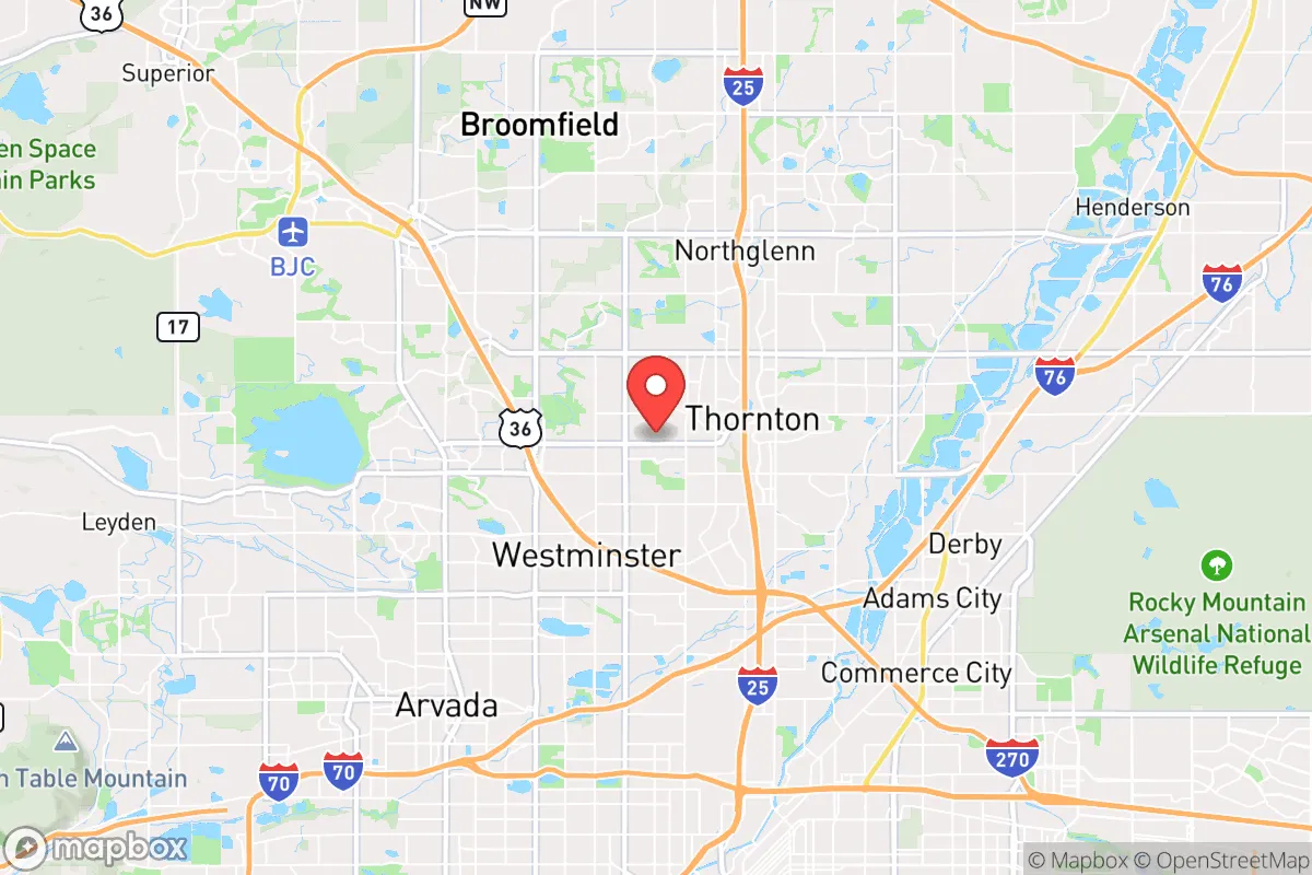
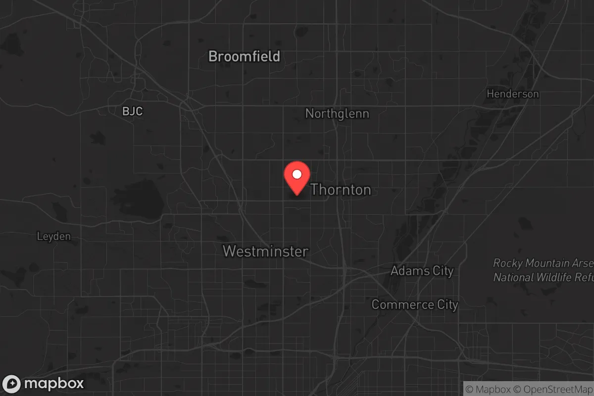
Federal Heights, Colorado, sits in a precarious but potentially strategic pocket just north of Denver, offering a mix of proximity to urban resources and a foothold on the Front Range that could prove valuable in a crisis. For the prepper or survivalist with a conservative worldview, this is not a bug-out paradise—it’s a location that demands a clear-eyed assessment of its resilience, its exposure to fallout from nearby targets, and the practical steps needed to make it work. The area’s elevation, access to mountain corridors, and position along the I-25 and US-85 corridors give it a logistical edge, but its closeness to a major metropolitan hub and critical infrastructure means you’re betting on your ability to navigate chaos rather than escape it entirely.
Geographic position and natural advantages for long-term survival
Federal Heights is perched on a plateau at roughly 5,500 feet, giving it a natural elevation advantage over the Denver metro sprawl below. This height offers better line-of-sight for communications and observation, and the semi-arid climate means fewer flood risks than lower-lying areas along the South Platte River. The city’s location at the junction of major highways—I-25 running north-south and US-85 cutting toward Wyoming—provides multiple egress routes if you need to move. To the west, the Rocky Mountains offer a vast, low-population buffer zone, with national forests like Arapaho and Roosevelt within an hour’s drive, ideal for caching supplies or establishing a secondary retreat. The Front Range’s natural water sources, including Clear Creek and Boulder Creek, are within reach, though they’re not directly in Federal Heights. The area’s geology is stable, with minimal seismic activity, and the dry climate reduces mold and decay issues for stored goods. For a relocator, this is a base that can support a “gray man” lifestyle—blending into a suburban setting while maintaining access to wilder terrain.
Risks, exposures, and proximity to fallout-relevant landmarks
The biggest liability here is proximity to high-value targets. Federal Heights is less than 10 miles from Denver International Airport (DIA), a major transportation hub that would be a primary target in any conflict involving strategic bombing or EMP strikes. The city also sits within 15 miles of the Rocky Mountain Arsenal National Wildlife Refuge, a former chemical weapons manufacturing site that still has ongoing environmental remediation—a potential secondary hazard if infrastructure fails. Buckley Space Force Base in Aurora, about 20 miles southeast, is a clear military target, and the I-25 corridor itself is a chokepoint for logistics that could become a target for sabotage or civil unrest. In a grid-down scenario, Federal Heights’ population density—roughly 13,000 people in 1.8 square miles—means you’re surrounded by neighbors who may not be prepared, leading to rapid resource depletion and security risks. The area’s reliance on the Denver water system, which draws from reservoirs like Gross Dam and Dillon, is a vulnerability; a disruption could leave residents scrambling. Additionally, the city’s position on a plateau makes it a natural observation point, but it also means you’re exposed to anyone approaching from lower ground. For the prepper, this is a location that requires constant situational awareness and a plan to move if the SHTF.
Practical resilience for a relocator: food, water, energy, and defensibility
Federal Heights’ suburban layout offers a mixed bag for self-sufficiency. Most homes are on small lots, limiting space for large-scale gardening or livestock, but the Front Range’s growing season (roughly 150 days) allows for raised-bed vegetable production if you’re willing to invest in soil amendments and frost protection. Water is the critical pinch point: the city’s municipal supply comes from Denver Water, and in a prolonged outage, you’d need to rely on stored water or nearby sources like the South Platte River, which is about 5 miles east but requires purification due to agricultural runoff. Rainwater collection is legal in Colorado but limited to 110 gallons per property—enough for emergency use but not full self-reliance. Energy-wise, the area has good solar potential, with over 300 sunny days per year, but HOA restrictions in some neighborhoods could complicate panel installation. For defensibility, Federal Heights is a mixed bag: the grid-like streets offer clear sightlines, but the density means you’re vulnerable to mob behavior or organized looting. A better approach is to treat your home as a hardened position—reinforced doors, window film, and a well-stocked pantry—while maintaining a vehicle ready for a quick exodus west toward the mountains. Local resources like the Adams County Sheriff’s Office provide law enforcement, but in a collapse, response times would stretch thin. The city’s proximity to smaller towns like Northglenn and Thornton offers some buffer, but don’t count on them for mutual aid—they’ll be dealing with their own problems.
The overall strategic picture for Federal Heights is one of calculated risk. It’s not a remote survivalist haven, but it’s not a death trap either. For the conservative relocator who wants to stay connected to urban job markets while maintaining a prepper mindset, this area offers a foothold on the Front Range with decent egress options and natural advantages. The key is to treat it as a forward operating base—not a final destination. Stockpile supplies for at least 90 days, establish a cache in the mountains, and build relationships with like-minded neighbors who understand the value of preparedness. If you’re willing to accept the exposure to Denver’s fallout risks and invest in hardening your position, Federal Heights can be a workable hub for weathering the storm. But if you’re looking for true isolation and low risk, look further west or north—this is a place for those who want to stay in the game, not hide from it.
* Values derived from national, state, county, city and local statistics and may differ in a specific area. Last updated: 2026-04-23T02:11:02.000Z
Narrative content on this page is AI-generated and may contain mistakes. Verify any details that matter before acting on them.
ReloMaps may earn a commission from affiliate links at no extra cost to you.