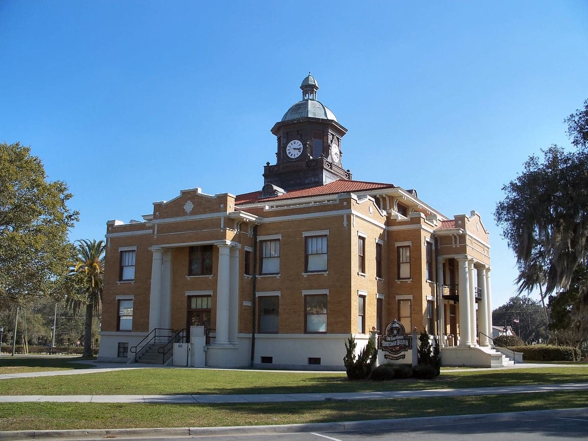
Photo: Wikipedia
Strategic Assessment of Citrus County
Meaningful friction. Expect exposure to either population pressure, blast zones, or natural disaster risk. Consider buying a retreat property.
What does the Strategic Assessment tell us?
Our Strategic Assessment grades tactical survivability of an area. Major population centers, military targets, fallout zones, natural disasters, and border exposure all drive risk — lower exposure means a more defensible position in a crisis.
This is heavily inspired by Joel Skousen's Strategic Relocation book. Highly recommended you checkout the book ($)What does this tell us?
Our Strategic Assessment grades tactical survivability of an area. Major population centers, military targets, fallout zones, natural disasters, and border exposure all drive risk — lower exposure means a more defensible position in a crisis.
This is heavily inspired by Joel Skousen's Strategic Relocation book. Highly recommended you checkout the book ($)Strategic Pillars

Key Distances
Strategic Assessment Analysis
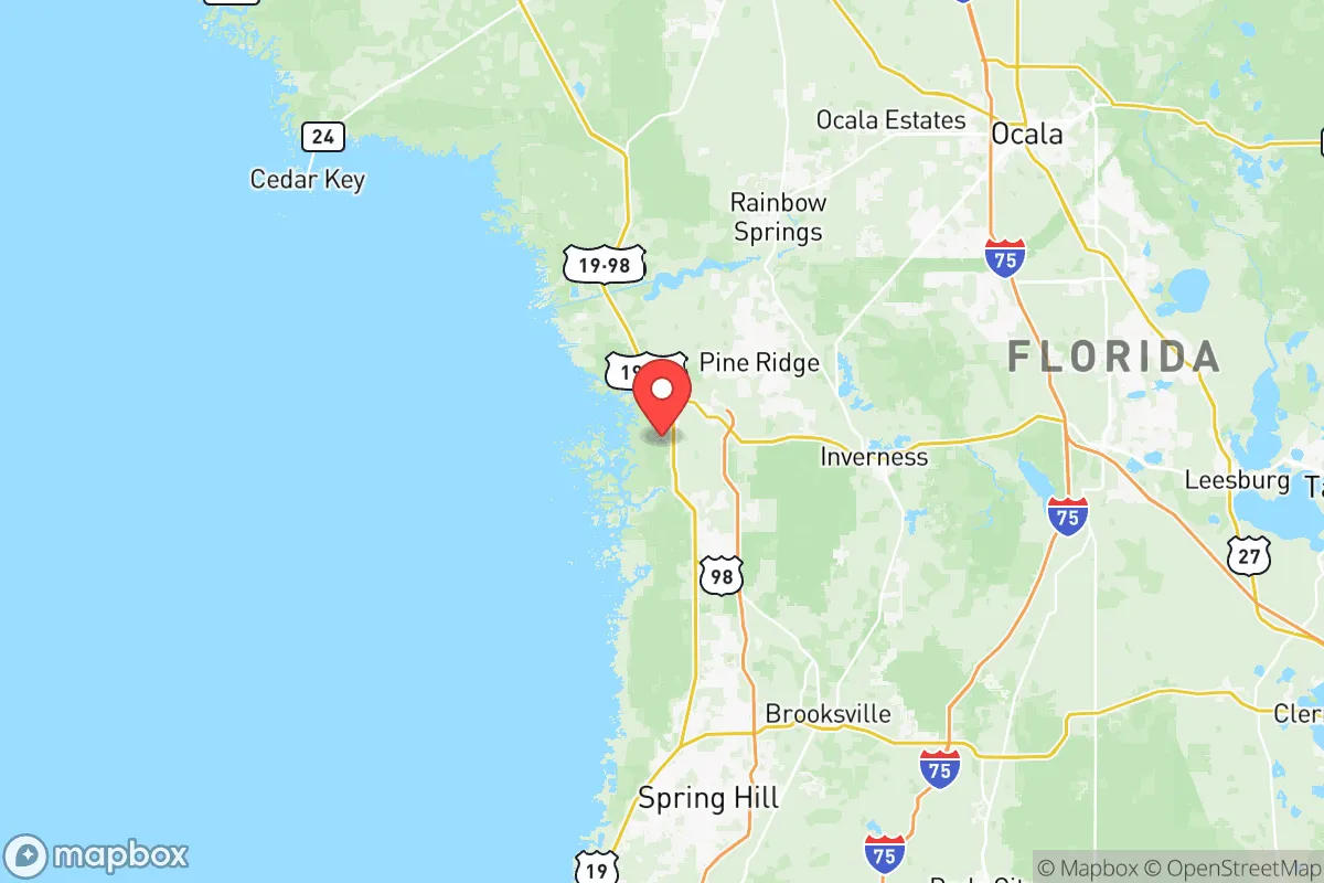
Citrus County, Florida, offers a strategic relocation option for those prioritizing disaster resilience and self-sufficiency, balancing natural advantages with manageable risks. Located on Florida’s Gulf Coast, roughly 70 miles north of Tampa and 90 miles northwest of Orlando, the county provides a buffer from the most intense urban vulnerabilities while retaining access to critical infrastructure. Its position along the Nature Coast, with the Withlacoochee River forming its southern boundary and the Gulf of Mexico to the west, creates a distinct geographic profile that demands careful assessment for anyone serious about long-term preparedness.
Geographic position and natural advantages for resilience
Citrus County’s primary resilience strength lies in its relative isolation from major population centers and high-value targets. The county seat, Inverness, sits inland about 15 miles from the coast, providing a natural buffer against storm surge and offering more defensible terrain than coastal communities like Crystal River or Homosassa. The area is characterized by extensive state forests and wildlife management areas—including the Withlacoochee State Forest and the Chassahowitzka Wildlife Management Area—which create a natural green belt that limits urban sprawl and provides potential resources for hunting, foraging, and timber. The county’s karst topography, with hundreds of freshwater springs like the famous Homosassa Springs and Crystal River’s Kings Bay, offers a reliable, naturally filtered water source that is less dependent on municipal systems. This groundwater abundance is a significant advantage for self-sufficiency, as the Floridan Aquifer is one of the most productive in the world, and many rural properties can access it via private wells. The region’s relatively low population density—roughly 150,000 residents across 612 square miles—means less competition for resources during a crisis, and the lack of major interstate highways (only US-19 and US-41 run through the county) reduces the risk of evacuation gridlock or supply chain disruption.
Risks, exposures, and proximity to fallout-relevant landmarks
No strategic assessment is complete without acknowledging the area’s vulnerabilities. Citrus County faces two primary risk categories: natural hazards and proximity to man-made targets. Hurricane risk is real but manageable—the county sits in a zone that experiences a direct hit roughly once every 15-20 years, with the last major impact being Hurricane Hermine in 2016. Storm surge is the greatest threat, particularly for coastal communities like Crystal River and Homosassa, where low-lying areas can flood from a Category 2 storm. Inland areas like Inverness and Floral City are safer from surge but still face wind and flooding risks. The county’s aging infrastructure—particularly the Crystal River Nuclear Plant, which ceased operations in 2013 but still houses spent fuel on-site—presents a localized hazard. While the plant is decommissioned, the spent fuel pools and dry cask storage remain a potential target for sabotage or accident, though the risk is low compared to active facilities. More significantly, Citrus County’s proximity to Tampa Bay (home to MacDill Air Force Base, a major military command center) and Orlando (with its tourism and transportation hubs) places it within a 100-mile radius of potential secondary fallout zones in a major conflict scenario. The county’s lack of heavy industry or military installations is a double-edged sword: it makes the area less likely to be a primary target, but it also means limited local manufacturing capacity for post-disaster recovery. The nearest major port is Port Tampa Bay, roughly 80 miles south, which could become a chokepoint for supplies during a crisis.
Practical resilience for a relocator: food, water, energy, and defensibility
For a relocator focused on self-sufficiency, Citrus County offers a mixed but workable picture. Water is the strongest asset—the Floridan Aquifer provides abundant, high-quality groundwater, and many homes in rural areas already rely on private wells. The county’s numerous springs and rivers (the Withlacoochee, Crystal River, and Homosassa River) offer surface water sources, though treatment is necessary. Food production is feasible but requires effort. The sandy, acidic soil typical of the region is not ideal for traditional row crops, but raised beds, citrus groves, and livestock (particularly goats and chickens) are common. The Gulf waters provide excellent fishing—redfish, trout, and grouper are abundant—and the state forests offer hunting for deer and wild hogs. Local farmers’ markets in Inverness and Crystal River provide some food security, but the county is not a major agricultural producer; most food is trucked in from central Florida. Energy resilience is a weak point. Duke Energy dominates the grid, and power outages are common during storms, sometimes lasting days. Solar potential is good—Florida averages 237 sunny days per year—but net metering policies are less favorable than in some states. Backup generators are a near-necessity for serious preparedness. Defensibility is moderate. The county’s rural character, with long, winding roads and dense forest cover, makes it harder for outsiders to navigate, but the lack of natural barriers (mountains, rivers that are difficult to cross) means determined threats could approach from multiple directions. The local sheriff’s office is well-regarded, with a strong community policing presence, but response times in remote areas can exceed 20 minutes. The county’s gun culture is robust—there are multiple shooting ranges and gun shops—and property rights are respected, which aligns with a self-reliant mindset.
The overall strategic picture for Citrus County is one of moderate resilience with clear trade-offs. It offers a genuine escape from the density and target risk of major metro areas like Tampa or Orlando, while still being close enough to access their medical and logistical resources when needed. The water abundance and natural buffer of forests and springs are genuine advantages that few other Florida counties can match. However, the hurricane risk, aging infrastructure, and dependence on external food and energy supplies mean that a relocator must invest in preparation—generators, well maintenance, food storage, and community networking—to fully realize the area’s potential. For a conservative-leaning family or individual who values self-sufficiency, privacy, and a slower pace, Citrus County is a solid choice, but it is not a bug-out location; it is a place to build a resilient life, not to hide from one. The key is to choose inland property, preferably in the Inverness or Floral City areas, and to engage with the local preparedness community—there are active ham radio clubs, CERT teams, and homesteading groups that can accelerate the learning curve. In short, Citrus County is a defensible, resource-rich base for those willing to do the work, but it demands respect for its natural risks and a realistic understanding of its limitations.

* Values derived from national, state, county, city and local statistics and may differ in a specific area. Last updated: 2026-09-29T09:19:26.000Z
Narrative content on this page is AI-generated and may contain mistakes. Verify any details that matter before acting on them.
ReloMaps may earn a commission from affiliate links at no extra cost to you.

