
Photo: Wikipedia
Strategic Assessment of Okaloosa County
Meaningful friction. Expect exposure to either population pressure, blast zones, or natural disaster risk. Consider buying a retreat property.
What does the Strategic Assessment tell us?
Our Strategic Assessment grades tactical survivability of an area. Major population centers, military targets, fallout zones, natural disasters, and border exposure all drive risk — lower exposure means a more defensible position in a crisis.
This is heavily inspired by Joel Skousen's Strategic Relocation book. Highly recommended you checkout the book ($)What does this tell us?
Our Strategic Assessment grades tactical survivability of an area. Major population centers, military targets, fallout zones, natural disasters, and border exposure all drive risk — lower exposure means a more defensible position in a crisis.
This is heavily inspired by Joel Skousen's Strategic Relocation book. Highly recommended you checkout the book ($)Strategic Pillars

Key Distances
Strategic Assessment Analysis
Okaloosa County, Florida, offers a strategic relocation option for those prioritizing resilience, offering a blend of geographic isolation from major urban chaos and proximity to critical military infrastructure. The area’s core advantage lies in its position along the Emerald Coast, buffered by the Gulf of Mexico to the south and vast national forest lands to the north, creating a natural buffer zone that most of Florida’s peninsula lacks. For a conservative-leaning individual or family looking to weather civic unrest, mass casualty events, or broader societal breakdown, this county presents a defensible, resource-accessible pocket that isn’t a primary target—but it’s not without its own exposures.
Geographic position and natural advantages for long-term survival
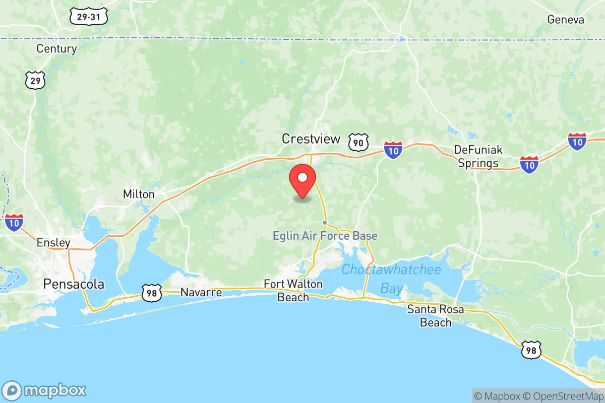
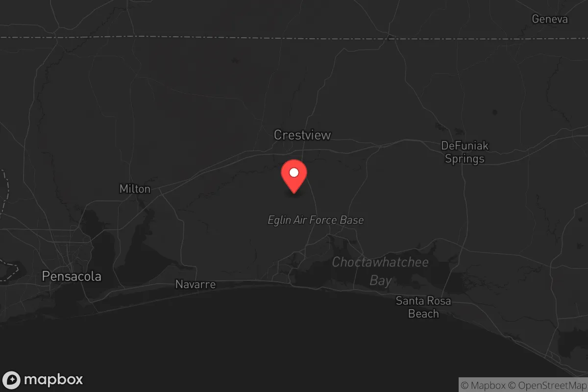
Okaloosa County sits in Florida’s Panhandle, roughly 45 miles east of Pensacola and 55 miles west of Panama City, placing it outside the immediate blast radius of any major Gulf Coast refinery or port complex. The county’s northern half, anchored by the town of Crestview, transitions into the sprawling Eglin Air Force Base reservation—over 460,000 acres of restricted land that doubles as a de facto wilderness buffer. This military presence, while a potential target, also provides a layer of security: Eglin is a major test and training range, meaning the area is accustomed to controlled airspace and restricted access, which could be leveraged during unrest. The Choctawhatchee Bay and the Gulf provide abundant fishing and water access, while the Blackwater River State Forest to the north offers timber, game, and fresh water sources. The county’s elevation, ranging from sea level to about 250 feet, is higher than most of Florida, reducing flood risk from storm surge—a key consideration for long-term habitability. The climate is humid subtropical, with mild winters and hot summers, allowing for year-round food production if you can manage the heat and pests.
Risks, exposures, and proximity to fallout-relevant landmarks
The primary risk in Okaloosa County is its dependence on the military-industrial complex. Eglin Air Force Base is a high-value target in any conflict scenario, and its presence means the county could face secondary effects from a strike—electromagnetic pulse (EMP) disruption, ground zero fallout, or simply a massive influx of personnel and dependents seeking safety. The base’s test ranges include live ordnance, so unexploded munitions are a real hazard in the northern training areas. Additionally, the county is within 100 miles of the Port of Pensacola and the Pensacola Naval Air Station, both potential targets. To the west, the Mobile, Alabama port and refinery complex (about 120 miles away) is a major industrial target; prevailing winds from the west could carry fallout or chemical plumes into the Panhandle. The county’s main highway, I-10, runs east-west through Crestview and is a primary evacuation route for the entire Gulf Coast—meaning it could become a chokepoint or a target during a mass exodus. Hurricane risk is real: the Panhandle is a landfall zone for major storms, and the 2018 Hurricane Michael devastation in nearby Mexico Beach is a stark reminder that coastal areas are vulnerable. For a prepper, the key is to locate inland, north of the bay, away from the immediate coast and the base’s primary infrastructure.
Practical resilience for a relocator: food, water, energy, and defensibility
For daily life and crisis scenarios, Okaloosa County offers a mixed bag. Water is abundant: the Floridan Aquifer is deep but reliable, and surface water from the Blackwater River, Shoal River, and Choctawhatchee Bay is plentiful, though it requires filtration. The county has a robust network of rural wells, especially in the northern communities like Laurel Hill and Paxton, where property is cheaper and more secluded. Food production is feasible: the growing season is long (March to November), and sandy loam soils in the north support gardens, while the bay and Gulf provide year-round seafood. However, the area is not a major agricultural hub—most food is trucked in via I-10, so local food storage and seed banking are critical. Energy is a vulnerability: the grid is tied to the larger Florida system, which is prone to hurricane outages and could be disrupted by an EMP. Solar is viable (the area gets about 220 sunny days per year), but many rural properties are on well water and septic, meaning power loss equals no water. A backup generator or off-grid solar setup is non-negotiable. Defensibility is the county’s strongest suit: the combination of Eglin’s restricted airspace, the dense pine forests of the north, and the limited road network (only two major highways: I-10 and US-98) creates natural chokepoints. Rural properties with acreage offer good standoff distance, and the local culture is heavily pro-Second Amendment, with a strong hunting and outdoor tradition. The county’s population is about 210,000, with most concentrated in the coastal strip (Destin, Fort Walton Beach) and the Crestview corridor—leaving the northern half sparsely populated. For a relocator, the sweet spot is a property north of Crestview, near the Alabama line, where you’re within 30 minutes of supplies but far enough from the base and the coast to avoid the worst of any event.
The overall strategic picture for Okaloosa County is one of calculated trade-offs. It’s not a remote mountain redoubt, but it’s far better than most of Florida’s peninsula or the I-4 corridor. The military presence is a double-edged sword: it provides security and economic stability but also makes the area a potential target. The natural resources—water, timber, seafood, and a long growing season—are genuine assets for long-term survival. The biggest risk is the hurricane threat and the reliance on a fragile grid and supply chain. For a conservative family or individual who wants to be prepared without going full off-grid, Okaloosa County offers a realistic middle ground: a place where you can buy acreage, dig a well, stock supplies, and still be within a day’s drive of major medical care in Pensacola or Tallahassee. The key is to avoid the coastal tourist zones and the immediate base footprint, and instead focus on the northern rural communities where the pace is slower, the neighbors are armed, and the land gives you room to breathe. If you’re looking for a place that’s not a primary target but still offers a decent shot at riding out the storm, this county deserves a hard look.
* Values derived from national, state, county, city and local statistics and may differ in a specific area. Last updated: 2026-05-08T19:50:05.000Z
Narrative content on this page is AI-generated and may contain mistakes. Verify any details that matter before acting on them.
ReloMaps may earn a commission from affiliate links at no extra cost to you.