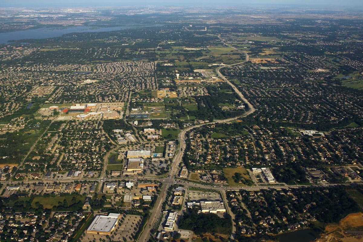
Photo: Wikipedia
Strategic Assessment of Flower Mound, TX
Multiple tactical vulnerabilities. Population density, target proximity, or disaster risk are likely compounding. A retreat property and exit planning is required.
What does the Strategic Assessment tell us?
Our Strategic Assessment grades tactical survivability of an area. Major population centers, military targets, fallout zones, natural disasters, and border exposure all drive risk — lower exposure means a more defensible position in a crisis.
This is heavily inspired by Joel Skousen's Strategic Relocation book. Highly recommended you checkout the book ($)What does this tell us?
Our Strategic Assessment grades tactical survivability of an area. Major population centers, military targets, fallout zones, natural disasters, and border exposure all drive risk — lower exposure means a more defensible position in a crisis.
This is heavily inspired by Joel Skousen's Strategic Relocation book. Highly recommended you checkout the book ($)Strategic Pillars

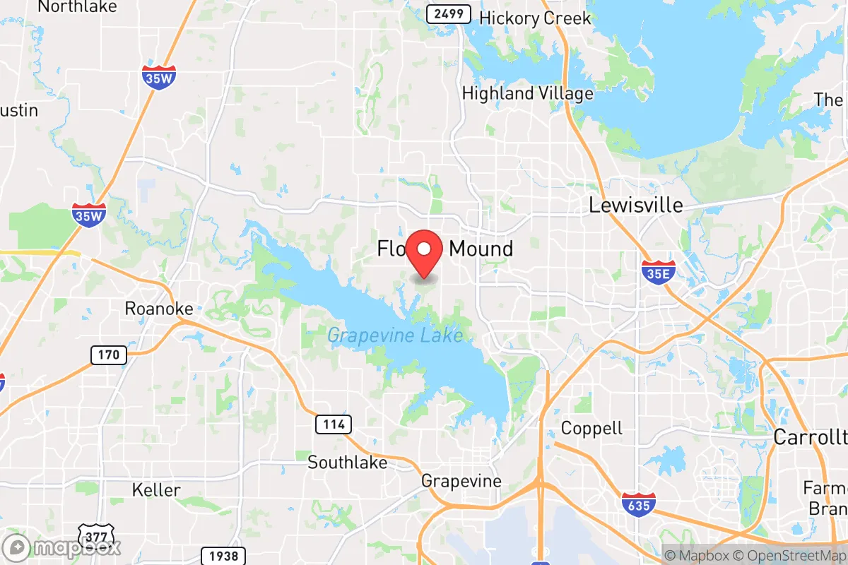
Key Distances
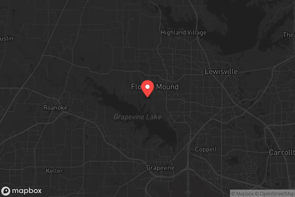
Regional Safe Places
Below is our recommended "safe zones" in Texas and the surrounding area based on our strategic heuristics. For most people, it's unrealistic to live in a “safe zone” full-time due to work, family or other personal reasons. They tend to be more rural. However, many of these areas are perfect for second homes and retreat properties that double as a vacation home or even a short-term rental.


Important Note: For informational purposes only. This does not mean nothing bad ever happens in the green zones. Please use common sense. This is based on public data and modeled with AI. We tried to take a conservative approach but mistakes happen. We update this regularly as new information becomes available.
Solar Generator Recommendations
Backup power matters more here than in safer locations. We've picked three solar generators across budgets and capacity tiers — start with the budget unit if you only need a few essentials, or step up if you want to run a fridge and HVAC for days at a time.

Jackery Portable Power Station Explorer 300
Budget OptionPower on the Go: Weighing only 11 lbs, it's convenient to set up and store with book-sized foldable solar panels

BLUETTI Portable Power Station AC180
Designed for both indoor and outdoor scenarios, AC180 is highly capable as it has a robost capacity and continuous output power.

EF ECOFLOW DELTA Pro Ultra Power Station
Upgraded PickEcoFlow DELTA Pro Ultra is a whole-home energy system designed to grow with your family. Integrated with the Smart Home Panel 2, it scales to meet your evolving energy needs — keeping your home powered, intelligent, and secure through every stage of life.
We earn a commission, at no additional cost to you.
Strategic Assessment Analysis
Flower Mound, Texas, offers a strategic balance of proximity to the economic engine of the Dallas-Fort Worth metroplex and a degree of geographic separation that makes it a viable option for those prioritizing resilience and preparedness. Its position on the northern edge of the metroplex, roughly 30 miles from downtown Dallas, provides a buffer from the immediate chaos of a major urban center while still allowing access to critical infrastructure. The town’s location atop the Grapevine Lake watershed and its relatively low population density compared to neighboring cities like Lewisville or Highland Village give it a distinct advantage for those planning for long-term stability in an uncertain future.
Geographic position and natural advantages for long-term stability
Flower Mound sits on the western edge of the Cross Timbers ecoregion, a transitional zone between the Blackland Prairie and the Eastern Cross Timbers. This geography provides a mix of rolling hills, oak woodlands, and limestone bedrock, which supports better drainage and more stable building foundations than the expansive clay soils found elsewhere in North Texas. The town’s namesake—a 12.5-acre mound of wildflowers—is a local landmark, but the real strategic asset is the Grapevine Lake, a 7,380-acre reservoir that forms the town’s southern and eastern borders. This lake is a primary water source for the region and offers a reliable, defensible water supply for those with the means to access it. The lake’s shoreline is largely undeveloped in many areas, providing natural cover and escape routes if needed. Additionally, the town’s elevation—averaging 600 feet above sea level—places it above the floodplains of the Trinity River, reducing the risk of catastrophic flooding that plagues communities closer to the river. The presence of the Lewisville Lake Environmental Learning Area and the Flower Mound Preserve offers green space for foraging, wildlife observation, and potential subsistence hunting, though these are public lands with limited long-term utility in a collapse scenario.
Risks, exposures, and proximity to fallout-relevant landmarks
The primary vulnerability of Flower Mound is its proximity to high-value targets within the DFW metroplex. DFW International Airport is only 15 miles southeast, and Love Field is 20 miles east. These are obvious military and terrorist targets in any major conflict or mass-casualty event. The town also sits within 25 miles of the Fort Worth Stockyards and the AllianceTexas development, which houses major logistics hubs for Amazon, FedEx, and the U.S. Postal Service—all potential choke points for supply chains and targets for disruption. The Trinity River corridor, which runs through the heart of the metroplex, is a natural funnel for any large-scale evacuation or military movement, and Flower Mound’s position just west of the river means it could be cut off from the east if bridges are compromised. On the positive side, the town is not directly downwind of any major nuclear power plants—the nearest is Comanche Peak in Glen Rose, 60 miles southwest—but prevailing winds from the south could carry fallout from a strike on the Dallas CBD. The Bush Turnpike and I-35E are major evacuation routes that could become gridlocked within minutes of a major event, so any prepper plan must account for alternative routes via FM 1171, FM 2499, or the back roads through the Cross Timbers.
Practical resilience for a relocator: food, water, energy, and defensibility
For a single individual or family looking to establish a resilient foothold, Flower Mound offers a mix of suburban convenience and rural-adjacent features. Water security is the strongest asset: Grapevine Lake is a reliable surface water source, and the town’s municipal water comes from the Dallas Water Utilities system, which draws from the lake and the Elm Fork of the Trinity River. However, municipal systems are vulnerable to contamination and disruption, so a private well is a better bet. The town’s zoning allows for wells on larger lots (typically 1+ acres), but most residential lots are smaller. For those in standard subdivisions, rainwater catchment is legal in Texas, and the average annual rainfall of 36 inches makes it feasible to supplement with cisterns. Food security is more challenging: the town has no large-scale agricultural zones, and most land is residential or commercial. Community gardens exist but are limited. The Flower Mound Farmers Market is seasonal and not a reliable source in a crisis. For long-term food storage, the town’s climate—hot, humid summers and mild winters—requires careful pest management and climate-controlled storage. Energy resilience is a mixed bag: the town is served by Oncor, which has a mixed reliability record during winter storms (see the 2021 freeze). Solar panels are permitted, but homeowners’ associations (HOAs) often restrict placement and visibility. The town’s defensibility is moderate: the layout is a mix of cul-de-sacs and arterial roads, which can be easily blocked or monitored. The Flower Mound Police Department is well-funded and responsive, but in a widespread collapse, the town’s 75,000 residents would quickly overwhelm local resources. The best defensive posture is a home on a larger lot with good sightlines and multiple egress points, ideally near the lake or the Cross Timbers for natural cover.
Overall, Flower Mound presents a calculated trade-off for the strategic relocator. It is not a remote bunker location—it is a suburban community with all the vulnerabilities that entails. But for those who value access to a major water source, a moderate distance from primary targets, and a community that is politically center-right (the town leans Republican in local elections), it offers a viable base for a layered preparedness strategy. The key is to avoid the trap of complacency: the town’s amenities and low crime rate can lull residents into a false sense of security. A serious prepper will need to invest in off-grid water, food storage, and alternative energy, and have a clear plan for bugging out to the Cross Timbers or the lake if the metroplex goes hot. For a single person or family willing to do the work, Flower Mound is a solid B+ location—not perfect, but far better than being inside the urban core or stranded in a floodplain.
* Values derived from national, state, county, city and local statistics and may differ in a specific area. Last updated: 2026-04-19T07:18:29.000Z
Narrative content on this page is AI-generated and may contain mistakes. Verify any details that matter before acting on them.
ReloMaps may earn a commission from affiliate links at no extra cost to you.