
Photo: Wikipedia
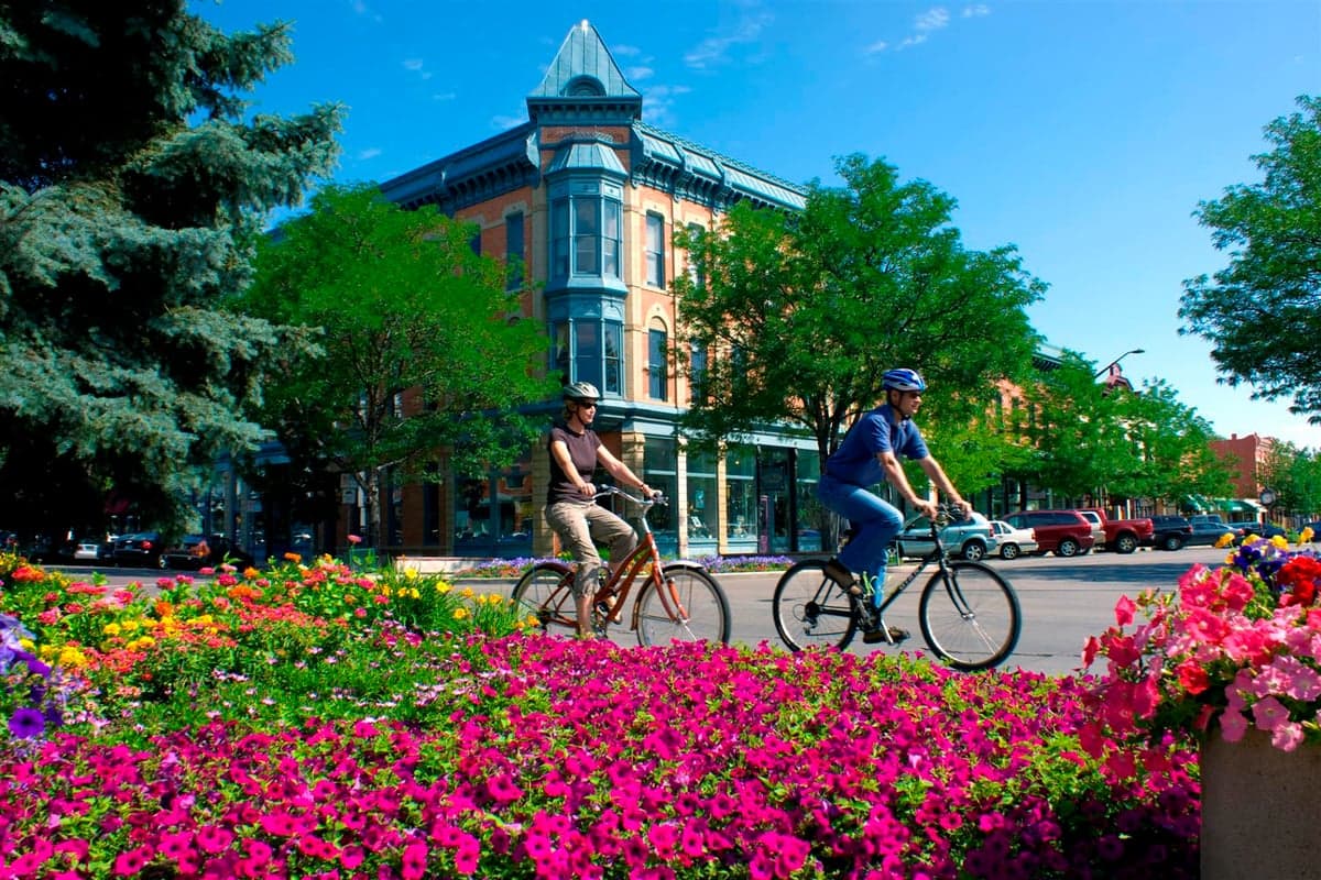
Strategic Assessment of Fort Collins, CO
Meaningful friction. Expect exposure to either population pressure, blast zones, or natural disaster risk. Consider buying a retreat property.
What does the Strategic Assessment tell us?
Our Strategic Assessment grades tactical survivability of an area. Major population centers, military targets, fallout zones, natural disasters, and border exposure all drive risk — lower exposure means a more defensible position in a crisis.
This is heavily inspired by Joel Skousen's Strategic Relocation book. Highly recommended you checkout the book ($)What does this tell us?
Our Strategic Assessment grades tactical survivability of an area. Major population centers, military targets, fallout zones, natural disasters, and border exposure all drive risk — lower exposure means a more defensible position in a crisis.
This is heavily inspired by Joel Skousen's Strategic Relocation book. Highly recommended you checkout the book ($)Strategic Pillars

Key Distances
Regional Safe Places
Below is our recommended "safe zones" in Colorado and the surrounding area based on our strategic heuristics. For most people, it's unrealistic to live in a “safe zone” full-time due to work, family or other personal reasons. They tend to be more rural. However, many of these areas are perfect for second homes and retreat properties that double as a vacation home or even a short-term rental.


Important Note: For informational purposes only. This does not mean nothing bad ever happens in the green zones. Please use common sense. This is based on public data and modeled with AI. We tried to take a conservative approach but mistakes happen. We update this regularly as new information becomes available.
Solar Generator Recommendations
Backup power matters more here than in safer locations. We've picked three solar generators across budgets and capacity tiers — start with the budget unit if you only need a few essentials, or step up if you want to run a fridge and HVAC for days at a time.

Jackery Portable Power Station Explorer 300
Budget OptionPower on the Go: Weighing only 11 lbs, it's convenient to set up and store with book-sized foldable solar panels

BLUETTI Portable Power Station AC180
Designed for both indoor and outdoor scenarios, AC180 is highly capable as it has a robost capacity and continuous output power.

EF ECOFLOW DELTA Pro Ultra Power Station
Upgraded PickEcoFlow DELTA Pro Ultra is a whole-home energy system designed to grow with your family. Integrated with the Smart Home Panel 2, it scales to meet your evolving energy needs — keeping your home powered, intelligent, and secure through every stage of life.
We earn a commission, at no additional cost to you.
Strategic Assessment Analysis
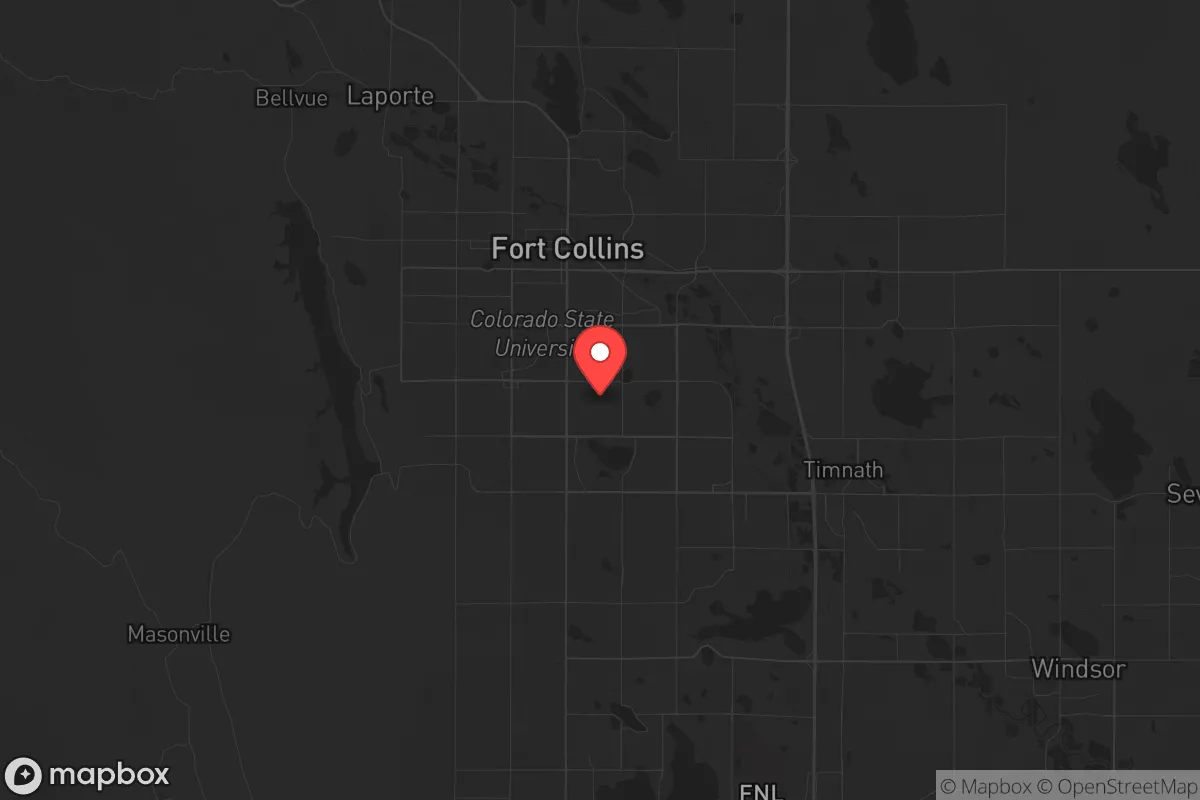
Fort Collins sits in a unique strategic pocket along Colorado’s Front Range, offering a blend of natural defensibility, resource access, and relative isolation from the most volatile urban centers—but it’s not without serious trade-offs for a prepper-minded relocator. Positioned about 65 miles north of Denver and 45 miles south of Cheyenne, Wyoming, the city benefits from being far enough from the Denver metro’s likely unrest zones while still maintaining logistical links to supply chains and medical infrastructure. However, its proximity to I-25, a major north-south corridor, and the presence of several high-value federal and industrial targets within a 50-mile radius mean that any large-scale disruption—whether from civil unrest, EMP, or natural disaster—could ripple through here fast. For a conservative-leaning individual or family prioritizing self-reliance, Fort Collins offers a solid base camp, but only if you understand the specific vulnerabilities baked into the landscape.
Geographic position and natural advantages for long-term stability
Fort Collins’ location at the base of the Rocky Mountains, where the Cache la Poudre River meets the plains, gives it a rare combination of water access, elevation, and agricultural potential. The city sits at roughly 5,000 feet, which provides a natural buffer against the worst of tornado alley’s activity—though severe thunderstorms and hail are still common. The surrounding Larimer County is dotted with small towns (Wellington, Laporte, Loveland) that create a decentralized population pattern, reducing the risk of a single-point failure that plagues denser metros. The Poudre River and Horsetooth Reservoir offer reliable surface water sources, critical for any long-term grid-down scenario. For a relocator, the ability to tap into mountain runoff without relying solely on municipal treatment plants is a major plus. The area’s agricultural history also means that local food production—from small farms to community gardens—is more viable here than in most Front Range suburbs. From a strategic standpoint, the city’s position at the mouth of Poudre Canyon provides a natural retreat route into the Roosevelt National Forest, though that same canyon could become a choke point if mass evacuation is triggered.
Risks, exposures, and proximity to fallout-relevant landmarks
The biggest strategic liability for Fort Collins is its location within the shadow of several high-value targets. Cheyenne Mountain Complex and Peterson Air Force Base (Colorado Springs) are roughly 150 miles south, but the more immediate concern is the U.S. Northern Command (NORTHCOM) headquarters at Peterson and the Rocky Mountain Arsenal (a former chemical weapons site, now a wildlife refuge but still monitored) near Denver. Any major conflict involving strategic strikes would likely target these facilities, and fallout patterns from a detonation near Denver could sweep northward depending on prevailing winds. Additionally, I-25 runs directly through Fort Collins, making it a primary evacuation route for Denver’s 2.9 million residents in a crisis—meaning the city could see a massive, uncontrolled influx of people within hours of a major event. The Cache la Poudre River also runs through the city center, and while it’s a water asset, it’s also a flood risk: the 2013 Front Range flood demonstrated that heavy rain events can overwhelm the river’s banks, cutting off access to parts of the city and damaging infrastructure. For a prepper, the key takeaway is that Fort Collins is not a remote bunker—it’s a mid-sized city with clear chokepoints and a direct line to a major urban collapse scenario.
Practical resilience for a relocator: food, water, energy, and defensibility
On the practical side, Fort Collins scores well for a relocator willing to invest in off-grid infrastructure. Water rights are a serious issue here—the city has a robust water portfolio, but new development is increasingly constrained by legal battles over the Poudre and Colorado-Big Thompson Project allocations. For a homeowner, securing a property with a well and irrigation rights is expensive but achievable, especially in the unincorporated areas east of town. Food production is viable: the growing season runs roughly May to September, with cold-hardy crops like potatoes, carrots, and kale doing well. Local farmers’ markets are strong, and there’s a culture of home canning and livestock keeping (chickens, goats) in the rural fringe. Energy resilience is mixed—the grid is served by Platte River Power Authority, which has a growing renewable portfolio but still relies on coal and natural gas. Solar is viable (the city gets over 300 sunny days a year), but net metering policies have tightened, so battery storage is a better long-term bet. Defensibility is the weak point: the city’s layout is spread out, with few natural barriers to entry. The foothills to the west offer some cover, but the eastern plains are wide open. A determined group could easily approach from I-25 or Highway 287. For a family, the best strategy is to buy on the western edge near the mountains, where terrain provides natural chokepoints and fewer through roads. The local gun culture is strong—Larimer County has a high rate of concealed carry permits—and there are multiple shooting ranges and training facilities, which is a plus for building community resilience.
Overall, Fort Collins presents a mixed strategic picture for the conservative prepper. It’s not a bug-out location—it’s a live-in location with real assets (water, food potential, elevation) and real liabilities (proximity to Denver, I-25 chokepoint, flood risk). The city’s political climate leans left (Larimer County voted +14 D in 2024), but the surrounding rural areas are deeply red, creating a cultural buffer that can be navigated with the right social network. For a single individual or family willing to invest in a well, solar, and a defensible property on the western edge, Fort Collins offers a viable base for weathering short-term disruptions and long-term instability. But if your plan relies on total isolation or a guaranteed safe zone, this isn’t it—you’re still within a day’s drive of multiple high-value targets and a major urban population that could become a liability in a crisis. The smart move here is to treat Fort Collins as a staging ground: build your resources, establish relationships with like-minded neighbors, and have a secondary retreat plan deeper into the mountains or north into Wyoming if the situation deteriorates.
* Values derived from national, state, county, city and local statistics and may differ in a specific area. Last updated: 2026-04-25T04:19:49.000Z
Narrative content on this page is AI-generated and may contain mistakes. Verify any details that matter before acting on them.
ReloMaps may earn a commission from affiliate links at no extra cost to you.