
Photo: Wikipedia
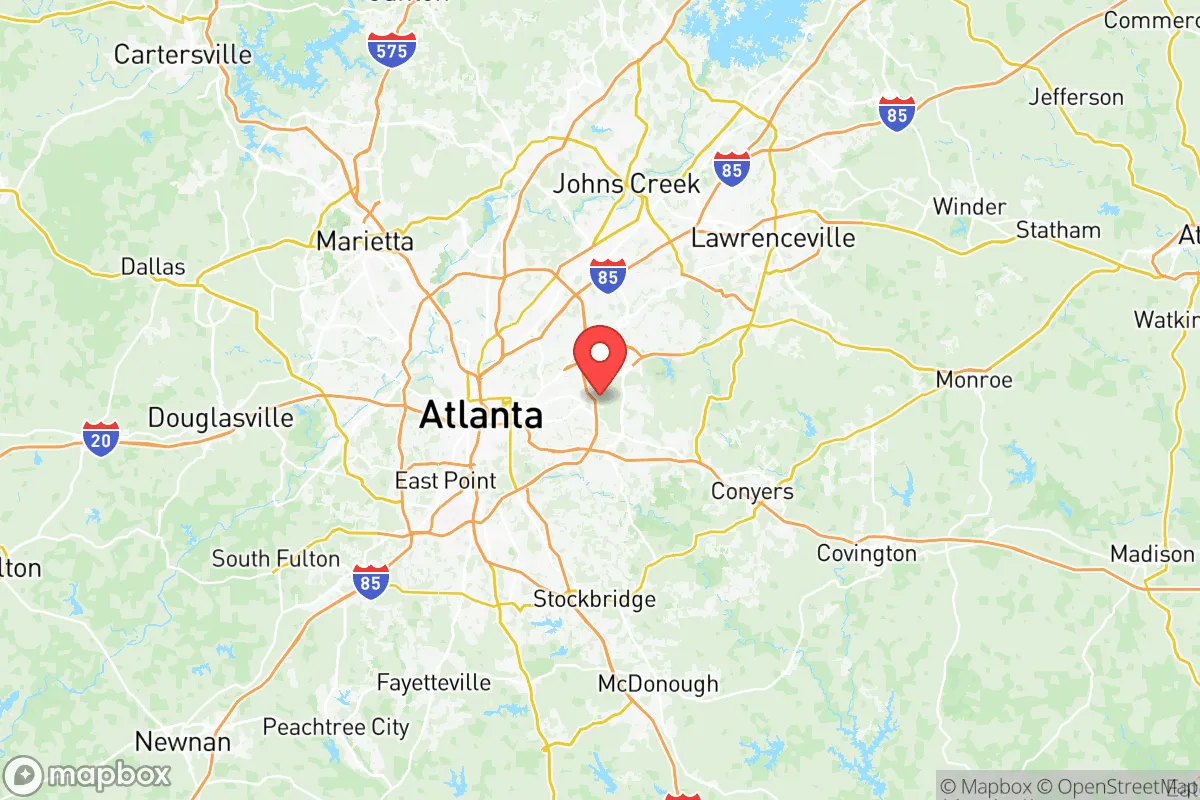
Strategic Assessment of Dekalb County
Multiple tactical vulnerabilities. Population density, target proximity, or disaster risk are likely compounding. A retreat property and exit planning is required.
What does the Strategic Assessment tell us?
Our Strategic Assessment grades tactical survivability of an area. Major population centers, military targets, fallout zones, natural disasters, and border exposure all drive risk — lower exposure means a more defensible position in a crisis.
This is heavily inspired by Joel Skousen's Strategic Relocation book. Highly recommended you checkout the book ($)What does this tell us?
Our Strategic Assessment grades tactical survivability of an area. Major population centers, military targets, fallout zones, natural disasters, and border exposure all drive risk — lower exposure means a more defensible position in a crisis.
This is heavily inspired by Joel Skousen's Strategic Relocation book. Highly recommended you checkout the book ($)Strategic Pillars

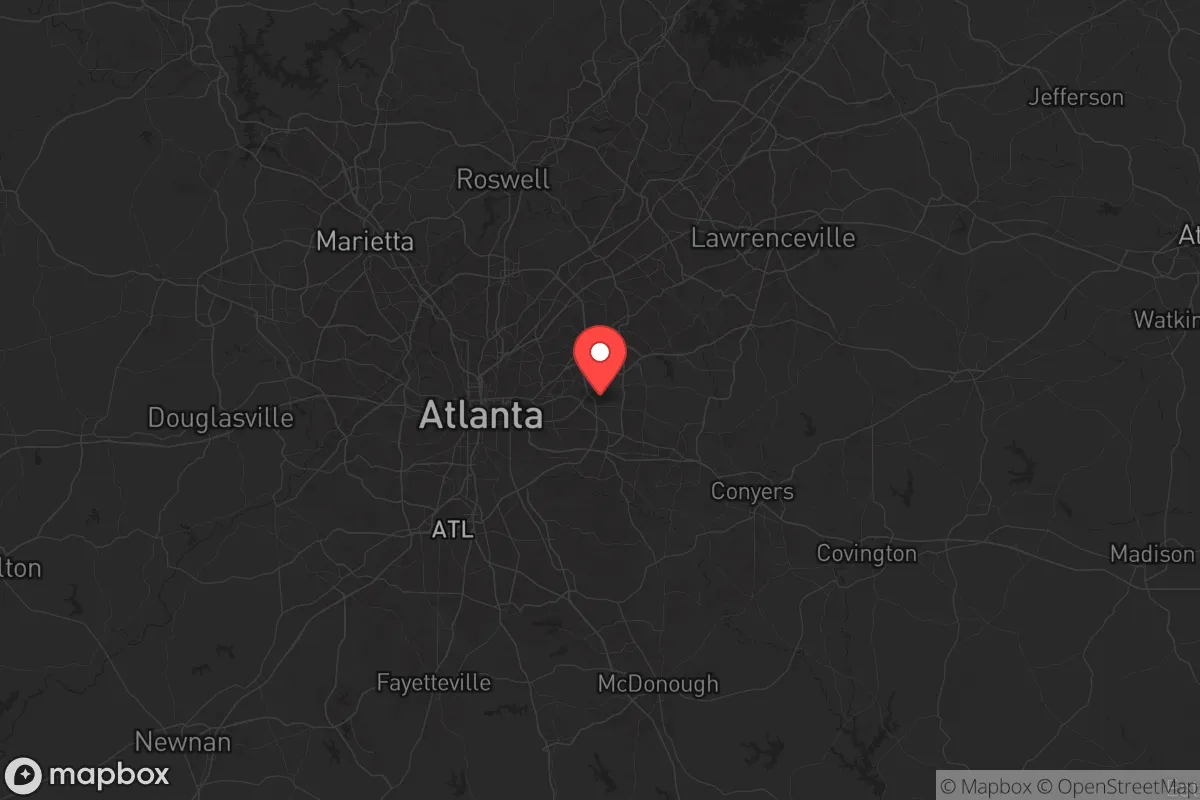
Key Distances
Strategic Assessment Analysis
Dekalb County, Georgia, presents a complex strategic picture for the conservative prepper or survivalist. Its proximity to Atlanta offers economic opportunity, but that same proximity introduces significant vulnerabilities in a crisis scenario. The county’s resilience is a double-edged sword: it has the infrastructure to support a large population, but that population itself becomes a liability during civil unrest, grid-down events, or mass casualty incidents. For the relocator prioritizing self-sufficiency and security, Dekalb requires a hard-eyed assessment of its assets and its glaring exposures.
Geographic position and natural advantages for a strategic relocation
Dekalb County sits directly east of Atlanta, forming a critical suburban buffer between the urban core and the more rural counties to the east and north. Its position along the Eastern Continental Divide provides a natural water-shedding advantage, meaning the county is less prone to the catastrophic flooding that plagues areas west of Atlanta. The Chattahoochee River forms part of the county’s western border, offering a potential water source, though it is heavily managed and monitored. The county’s terrain is rolling Piedmont hills, with elevations ranging from 800 to 1,100 feet, which provides decent line-of-sight defensibility in the more wooded eastern sections near Stone Mountain. The massive granite dome of Stone Mountain itself is a notable landmark—its summit offers a 360-degree observation point, but its prominence also makes it a likely rallying point or target during unrest. The county’s Interstate 285 (the Perimeter) and Interstate 20 corridors are double-edged: they provide rapid egress routes east toward Augusta or south toward Macon, but they also funnel traffic and potential threats directly into the area. For a relocator, the eastern half of Dekalb—around Lithonia and Pine Lake—offers more tree cover and lower population density than the western suburbs like Decatur or Brookhaven.
Risks, exposures, and proximity to fallout-relevant landmarks
The single greatest risk for a Dekalb County relocator is its proximity to Hartsfield-Jackson Atlanta International Airport, located just 10 miles southwest of the county line. In a mass casualty event or grid-down scenario, that airport becomes a primary target for civil unrest, refugee influx, or secondary attacks. The county also sits within 15 miles of Fort Gillem (a former Army base now used for logistics) and Dobbins Air Reserve Base to the northwest, both of which could become military staging areas during a national emergency—drawing both security and unwanted attention. Dekalb is crisscrossed by major rail lines and pipelines, including the Colonial Pipeline corridor, which runs through the western edge of the county. A pipeline rupture or targeted attack could create a cascading fuel shortage and fire hazard. The county’s dense suburban grid—particularly around Decatur and Clarkston—means that a single point of failure (a bridge collapse, a chemical spill on I-285, or a coordinated cyberattack on the power grid) could trap hundreds of thousands of residents in a choke-point. The Stone Mountain area itself, while scenic, is a tourist magnet; during civil unrest, it could become a flashpoint for ideological clashes. For the prepper, the concentration of government buildings, hospitals, and data centers in the county (including the CDC headquarters just over the line in DeKalb’s neighbor, Fulton County) makes it a high-probability target for any coordinated disruption.
Practical resilience for a relocator: food, water, energy, and defensibility
For a relocator serious about self-sufficiency, Dekalb County offers a mixed bag. Water access is the most critical factor: the county’s municipal water supply comes from the Chattahoochee River and the Lake Lanier system, both of which are vulnerable to contamination, sabotage, or systemic failure. A well on private property is a non-negotiable for any long-term survival plan here, but many suburban lots in Dekalb are too small or too close to septic systems to support a reliable well. Food production is limited by the county’s clay-heavy soil and suburban zoning; community gardens exist but are not scalable for a serious prepper. The best bet is to secure land in the eastern or southern parts of the county—near Lithonia or Redan—where lot sizes increase and HOA restrictions are looser. Energy resilience is a bright spot: Georgia Power’s grid is relatively stable, but solar panels with battery storage are a wise investment given the county’s 217 sunny days per year. Defensibility is the hardest variable. The western half of Dekalb is a dense suburban matrix with limited choke points and high population density—a nightmare for a retreat scenario. The eastern half, particularly around the Panola Mountain State Park area, offers more wooded terrain, natural barriers, and fewer through-roads. However, no part of Dekalb is truly defensible against a determined mob or organized threat; the county’s 800,000+ residents mean that any crisis will produce massive internal displacement. A relocator should plan for a layered defense: a primary residence in a low-visibility eastern neighborhood, with a secondary bug-out location farther east in Newton or Morgan County.
The overall strategic picture for Dekalb County is one of calculated risk. It is not a survivalist’s paradise—it is too close to Atlanta, too dependent on fragile infrastructure, and too densely populated to be a true retreat. But for the relocator who must remain within commuting distance of a job or family obligations, the eastern half of the county offers a workable compromise: decent water access, moderate defensibility, and proximity to rural escape routes. The key is to treat Dekalb as a staging ground, not a final destination. Stockpile supplies, harden your residence, and have a pre-planned egress route east on I-20 or north on US-78. In a world of increasing uncertainty, Dekalb County is a place to live strategically—but not a place to make your last stand.
* Values derived from national, state, county, city and local statistics and may differ in a specific area. Last updated: 2026-05-12T09:42:34.000Z
Narrative content on this page is AI-generated and may contain mistakes. Verify any details that matter before acting on them.
ReloMaps may earn a commission from affiliate links at no extra cost to you.