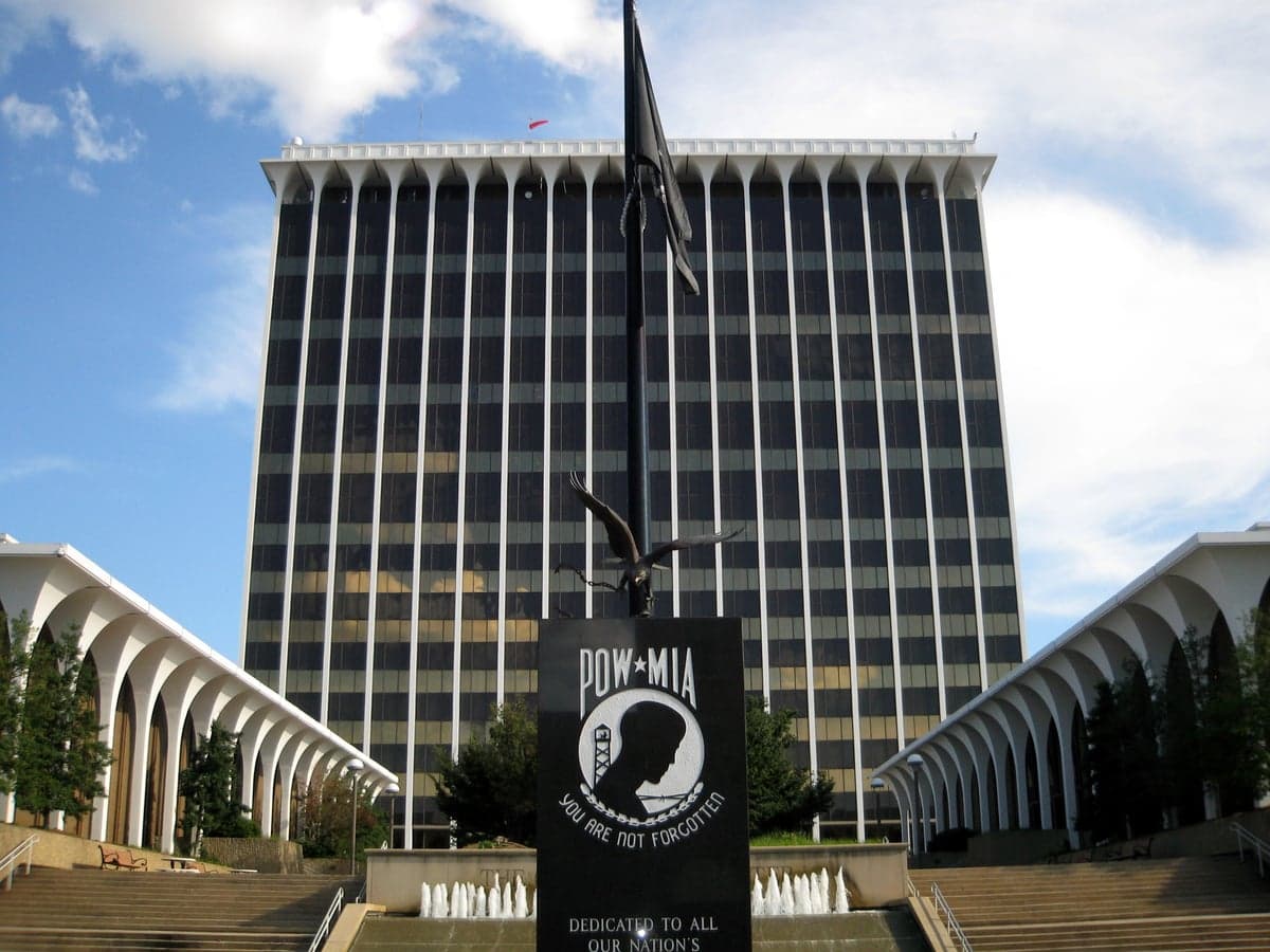
Photo: Wikipedia
Strategic Assessment of Muscogee County
Meaningful friction. Expect exposure to either population pressure, blast zones, or natural disaster risk. Consider buying a retreat property.
What does the Strategic Assessment tell us?
Our Strategic Assessment grades tactical survivability of an area. Major population centers, military targets, fallout zones, natural disasters, and border exposure all drive risk — lower exposure means a more defensible position in a crisis.
This is heavily inspired by Joel Skousen's Strategic Relocation book. Highly recommended you checkout the book ($)What does this tell us?
Our Strategic Assessment grades tactical survivability of an area. Major population centers, military targets, fallout zones, natural disasters, and border exposure all drive risk — lower exposure means a more defensible position in a crisis.
This is heavily inspired by Joel Skousen's Strategic Relocation book. Highly recommended you checkout the book ($)Strategic Pillars

Key Distances
Strategic Assessment Analysis
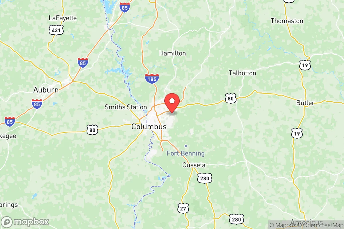
Muscogee County, anchored by Columbus, offers a strategic blend of inland positioning and logistical connectivity that appeals to relocation-minded individuals and families prioritizing resilience. Situated along the Chattahoochee River on Georgia’s western border with Alabama, the county sits roughly 100 miles southwest of Atlanta and 90 miles east of Montgomery, placing it outside the immediate blast radius of major metropolitan targets while still providing access to regional infrastructure. The area’s military presence—home to Fort Moore (formerly Fort Benning)—adds a layer of institutional stability and emergency response capability, though it also introduces a unique set of exposure considerations for those weighing disaster readiness and self-sufficiency.
Geographic position and natural advantages for disaster readiness
Muscogee County’s location offers several natural advantages for a relocator focused on resilience. The county lies within the Piedmont region, characterized by rolling hills and clay-based soils that provide better drainage and less flood risk than the coastal plains to the south. The Chattahoochee River serves as a reliable freshwater source, with the Walter F. George Lake and Lake Oliver impoundments providing additional water storage and recreational access. The area’s elevation—Columbus sits at roughly 240 feet above sea level—reduces vulnerability to storm surge and sea-level rise, a meaningful consideration for those looking inland from hurricane-prone coasts. The climate is humid subtropical, with hot summers and mild winters, supporting year-round gardening and livestock operations for self-sufficiency-minded households. The county’s position along the Fall Line, where the Piedmont meets the Coastal Plain, also means access to diverse ecosystems and groundwater recharge zones, which can buffer against prolonged drought better than areas further south. For a relocator, the combination of river access, moderate elevation, and arable land makes Muscogee County a viable base for long-term self-sufficiency, provided one secures property outside the urban core of Columbus.
Risks, exposures, and proximity to fallout-relevant landmarks
While Muscogee County avoids the highest-risk zones for natural disasters, it is not without exposure. The primary natural threat is severe weather, including tornadoes—the county sits within Dixie Alley, where tornado frequency is elevated compared to the Great Plains, and storms can occur year-round. The 2019 Easter tornado outbreak, which struck nearby Lee County, Alabama, and caused significant damage, serves as a reminder that the region can see violent storms with little warning. Flooding along the Chattahoochee River and its tributaries is a secondary concern, particularly in low-lying areas near the river and around Lake Oliver. The county’s location also places it within the broader fallout-relevant zone of several high-value targets. Fort Moore, a major Army installation with tens of thousands of personnel and extensive training ranges, is a potential military target in a conflict scenario, and its proximity to Columbus means that a strike on the base could affect the county. Additionally, the county lies roughly 150 miles from the Port of Savannah and 200 miles from the Port of Mobile, both of which are strategic chokepoints for national supply chains. The Hartsfield-Jackson Atlanta International Airport, a global aviation hub, is about 100 miles northeast—close enough that a major event there could disrupt air travel and supply lines, but far enough to avoid direct blast effects. For a relocator, the key risk is not a direct hit on Muscogee County itself, but rather the cascading effects of disruptions to nearby military and transportation infrastructure, which could strain local resources and complicate evacuation routes.
Practical resilience for a relocator: food, water, energy, and defensibility
For a relocator assessing day-to-day resilience, Muscogee County offers a mixed picture. Food security is achievable: the county has a growing local food scene, with farmers’ markets in Columbus and surrounding communities like Phenix City, Alabama, just across the river. The region’s agricultural base includes row crops, poultry, and livestock operations in the surrounding counties of Harris, Talbot, and Chattahoochee, providing a buffer against supply chain disruptions. Home gardening is feasible given the long growing season—typically from March to November—and the clay soils can be amended with organic matter for productive yields. Water access is a strong point: the Chattahoochee River is a perennial water source, and the county’s water utility draws from it, but a relocator should consider a private well or rainwater catchment system for redundancy. The county’s energy grid is served by Georgia Power, with a mix of natural gas, coal, nuclear (Plant Hatch is about 100 miles southeast), and renewables. However, the grid is vulnerable to weather-related outages, particularly from ice storms and high winds. Defensibility is a challenge in the urbanized areas of Columbus, which has a population of roughly 200,000 and a density that makes perimeter security difficult. For a relocator seeking defensibility, the rural fringes of the county—areas like Fortson, Midland, or the northern reaches near Upatoi Creek—offer more space, lower population density, and natural barriers like creeks and wooded ridges. The county’s road network, anchored by Interstates 185 and 85, provides multiple egress routes, though these could become congested in a mass evacuation scenario. Overall, a relocator can achieve a high degree of practical resilience in Muscogee County by choosing a property with well water, solar backup, and garden space, and by building community ties with like-minded neighbors in the outlying areas.
The overall strategic picture for Muscogee County is one of moderate resilience with specific trade-offs. Its inland location, river access, and agricultural support make it a viable option for those seeking a balance between self-sufficiency and access to regional services. The presence of Fort Moore provides a stabilizing economic and institutional anchor, but also introduces a risk profile that a serious relocator must weigh. The county’s exposure to tornadoes and potential cascading effects from nearby military and transportation targets means that preparedness—storm shelters, emergency supplies, and a robust community network—is not optional but essential. For a conservative-leaning audience valuing preparedness, community, and independence, Muscogee County offers a realistic foundation, but it is not a low-risk haven. The smart relocator will treat it as a base requiring active investment in resilience, rather than a turnkey solution. With careful property selection and a focus on self-sufficiency, the county can serve as a solid long-term home for those willing to do the work.

* Values derived from national, state, county, city and local statistics and may differ in a specific area. Last updated: 2026-08-04T04:25:05.000Z
Narrative content on this page is AI-generated and may contain mistakes. Verify any details that matter before acting on them.
ReloMaps may earn a commission from affiliate links at no extra cost to you.

