Photo: Wikipedia
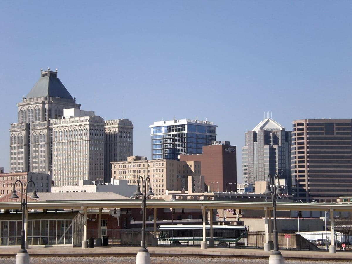
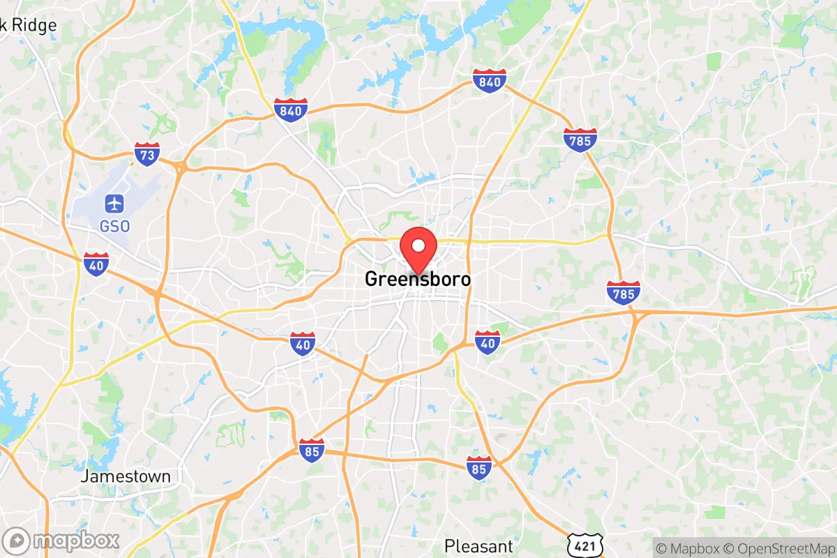
Strategic Assessment of Greensboro, NC
Multiple tactical vulnerabilities. Population density, target proximity, or disaster risk are likely compounding. A retreat property and exit planning is required.
What does the Strategic Assessment tell us?
Our Strategic Assessment grades tactical survivability of an area. Major population centers, military targets, fallout zones, natural disasters, and border exposure all drive risk — lower exposure means a more defensible position in a crisis.
This is heavily inspired by Joel Skousen's Strategic Relocation book. Highly recommended you checkout the book ($)What does this tell us?
Our Strategic Assessment grades tactical survivability of an area. Major population centers, military targets, fallout zones, natural disasters, and border exposure all drive risk — lower exposure means a more defensible position in a crisis.
This is heavily inspired by Joel Skousen's Strategic Relocation book. Highly recommended you checkout the book ($)Strategic Pillars

Key Distances
Regional Safe Places
Below is our recommended "safe zones" in North Carolina and the surrounding area based on our strategic heuristics. For most people, it's unrealistic to live in a “safe zone” full-time due to work, family or other personal reasons. They tend to be more rural. However, many of these areas are perfect for second homes and retreat properties that double as a vacation home or even a short-term rental.


Important Note: For informational purposes only. This does not mean nothing bad ever happens in the green zones. Please use common sense. This is based on public data and modeled with AI. We tried to take a conservative approach but mistakes happen. We update this regularly as new information becomes available.
Solar Generator Recommendations
Backup power matters more here than in safer locations. We've picked three solar generators across budgets and capacity tiers — start with the budget unit if you only need a few essentials, or step up if you want to run a fridge and HVAC for days at a time.

Jackery Portable Power Station Explorer 300
Budget OptionPower on the Go: Weighing only 11 lbs, it's convenient to set up and store with book-sized foldable solar panels

BLUETTI Portable Power Station AC180
Designed for both indoor and outdoor scenarios, AC180 is highly capable as it has a robost capacity and continuous output power.

EF ECOFLOW DELTA Pro Ultra Power Station
Upgraded PickEcoFlow DELTA Pro Ultra is a whole-home energy system designed to grow with your family. Integrated with the Smart Home Panel 2, it scales to meet your evolving energy needs — keeping your home powered, intelligent, and secure through every stage of life.
We earn a commission, at no additional cost to you.
Strategic Assessment Analysis
Greensboro, North Carolina, sits in a strategic sweet spot that resilience-minded relocators should take seriously: far enough from the Atlantic to avoid the worst hurricane storm surge, yet close enough to the Piedmont’s water-rich interior to sustain a long-term holdout. The city’s position along the I-85/I-40 corridor gives it logistical heft, but that same highway network is a double-edged sword in a crisis—it’s a funnel for both supply and threat. For a conservative-leaning individual or family looking to balance economic opportunity with a defensible fallback position, Greensboro offers a mix of hard infrastructure and soft advantages that few mid-sized Southern cities can match, provided you understand where the vulnerabilities lie.
Geographic position and natural advantages for long-term security
Greensboro’s location in the central Piedmont region places it on a plateau roughly 800 feet above sea level, which means it’s naturally insulated from the two biggest climate-driven risks on the East Coast: coastal flooding and inland flash flooding. The city sits near the headwaters of the Cape Fear River basin, so while heavy rain can cause localized creek flooding, you’re not looking at the kind of catastrophic inundation that hits the coastal plain. The surrounding terrain is rolling hills and mixed hardwood forest—not mountainous, but enough topography to provide natural chokepoints and defensible positions if you’re willing to drive 20–30 minutes outside the urban core. The Triad region (Greensboro, Winston-Salem, High Point) is also one of the most water-secure areas in the Southeast, with Randleman Lake and the Deep River providing a reliable surface water supply that’s less vulnerable to drought than the reservoirs further south. For a prepper, that means you can realistically store and filter water without worrying about a municipal system going dry in a prolonged emergency.
Risks, exposures, and proximity to fallout-relevant landmarks
Let’s be direct: Greensboro’s biggest strategic weakness is its proximity to multiple high-value targets. The city is less than 90 miles from Fort Liberty (formerly Fort Bragg), one of the largest military installations in the world, and about 70 miles from the Piedmont Triad International Airport, which handles both civilian cargo and military traffic. In a major conflict or domestic disruption scenario, those are primary targets for kinetic or cyber attack. The I-85 corridor itself is a critical logistics artery—if it gets cut, Greensboro’s supply chain for food, fuel, and medical goods would degrade rapidly. There’s also the matter of the Greensboro Coliseum Complex, which is a designated FEMA staging area and mass casualty triage site; in a pandemic or bioweapon event, that facility could become a vector rather than a resource. On the plus side, there are no nuclear power plants within a 50-mile radius (the closest is Harris Nuclear Plant near Raleigh, about 80 miles east), and no major chemical storage facilities like you’d find in the Gulf Coast. The risk profile is moderate—not a safe zone, but not a dead zone either. You need a bug-out plan that accounts for military traffic and highway choke points, and you should assume that any major event will draw resources away from Greensboro toward Fort Liberty and Raleigh.
Practical resilience for a relocator: food, water, energy, and defensibility
For a family or individual serious about self-sufficiency, Greensboro’s practical resilience comes down to three things: water, land access, and community networks. The municipal water system draws from Randleman Lake and the Deep River, and the city has a 24-hour emergency water supply in the form of the Lake Higgins and Lake Brandt reservoirs, which are also used for recreation. That means you can legally collect and filter surface water without trespassing, as long as you’re not on private property. The surrounding counties (Guilford, Rockingham, Alamance) still have affordable rural land within a 30-minute drive of downtown—think 5–10 acre parcels with well and septic potential for under $15,000 an acre as of 2025. That’s cheap compared to the Raleigh-Durham market, and it gives you room for a garden, rainwater catchment, and a small solar array. The local energy grid is served by Duke Energy, which has a mixed record on outage restoration; you’ll want a backup generator and a plan for at least 72 hours of self-sufficiency. Defensibility is decent if you pick the right property: look for lots with tree cover, a single access road, and a neighbor who’s also armed and aware. The gun culture in North Carolina is strong, and Greensboro has a concealed carry permit issuance rate well above the national average, so you’re not going to be the only one on your block with a plan. The biggest practical gap is food production—the growing season is long (April to October), but the soil in the Piedmont is clay-heavy and requires amendment. You can raise chickens and goats on a small acreage, but don’t expect to be fully food-independent without serious work.
Overall strategic picture for the conservative relocator
Greensboro isn’t a survivalist paradise—it’s a working city with real vulnerabilities tied to its highway connections and military proximity. But for someone who wants to stay employed in a professional or trade role while maintaining a credible backup plan, it’s one of the better options in the Southeast. The cost of living is still reasonable (median home price around $280,000 in 2025), the political climate in Guilford County is purple trending red in the exurbs, and the state government in Raleigh is reliably conservative on Second Amendment and property rights issues. You can live inside the city limits for the job market and commute 20 minutes to a rural property that serves as your retreat. That dual-location strategy is the real play here: Greensboro as the economic engine, and a small holding in Rockingham or Alamance County as the fallback. The city itself will be a target in any large-scale disruption, but the surrounding countryside offers enough water, defensible terrain, and like-minded neighbors to make a stand viable. If you’re looking for a place that balances modern convenience with a realistic path to self-reliance, Greensboro deserves a serious look—just don’t mistake its calm surface for safety. Prepare accordingly.
* Values derived from national, state, county, city and local statistics and may differ in a specific area. Last updated: 2026-05-03T04:45:57.000Z
Narrative content on this page is AI-generated and may contain mistakes. Verify any details that matter before acting on them.
ReloMaps may earn a commission from affiliate links at no extra cost to you.