Photo: Wikipedia
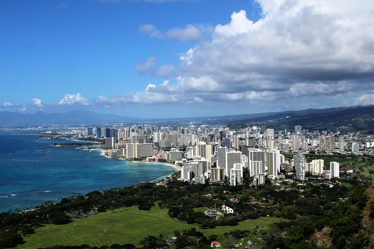
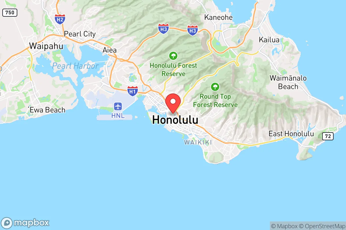
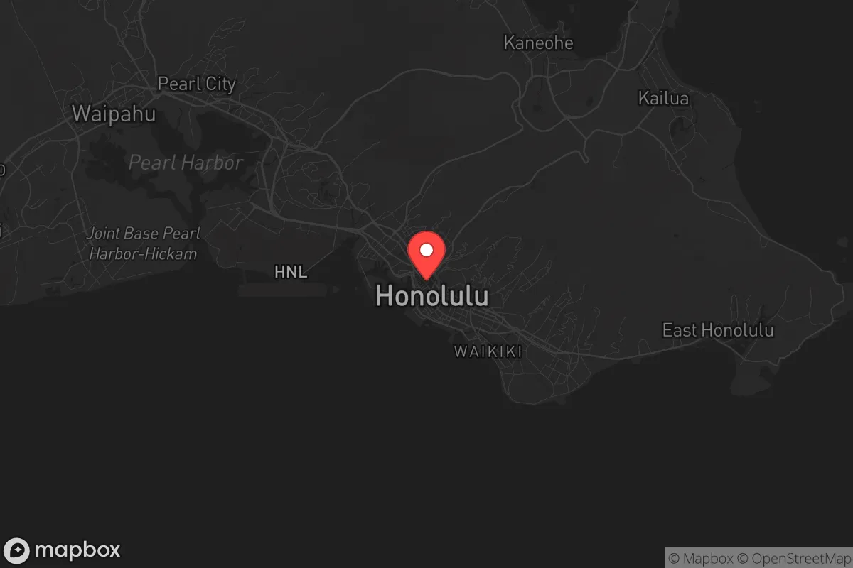
Strategic Assessment of Honolulu, HI
Multiple tactical vulnerabilities. Population density, target proximity, or disaster risk are likely compounding. A retreat property and exit planning is required.
What does the Strategic Assessment tell us?
Our Strategic Assessment grades tactical survivability of an area. Major population centers, military targets, fallout zones, natural disasters, and border exposure all drive risk — lower exposure means a more defensible position in a crisis.
This is heavily inspired by Joel Skousen's Strategic Relocation book. Highly recommended you checkout the book ($)What does this tell us?
Our Strategic Assessment grades tactical survivability of an area. Major population centers, military targets, fallout zones, natural disasters, and border exposure all drive risk — lower exposure means a more defensible position in a crisis.
This is heavily inspired by Joel Skousen's Strategic Relocation book. Highly recommended you checkout the book ($)Strategic Pillars

Key Distances
Regional Safe Places
Below is our recommended "safe zones" in Hawaii and the surrounding area based on our strategic heuristics. For most people, it's unrealistic to live in a “safe zone” full-time due to work, family or other personal reasons. They tend to be more rural. However, many of these areas are perfect for second homes and retreat properties that double as a vacation home or even a short-term rental.


Important Note: For informational purposes only. This does not mean nothing bad ever happens in the green zones. Please use common sense. This is based on public data and modeled with AI. We tried to take a conservative approach but mistakes happen. We update this regularly as new information becomes available.
Solar Generator Recommendations
Backup power matters more here than in safer locations. We've picked three solar generators across budgets and capacity tiers — start with the budget unit if you only need a few essentials, or step up if you want to run a fridge and HVAC for days at a time.

Jackery Portable Power Station Explorer 300
Budget OptionPower on the Go: Weighing only 11 lbs, it's convenient to set up and store with book-sized foldable solar panels

BLUETTI Portable Power Station AC180
Designed for both indoor and outdoor scenarios, AC180 is highly capable as it has a robost capacity and continuous output power.

EF ECOFLOW DELTA Pro Ultra Power Station
Upgraded PickEcoFlow DELTA Pro Ultra is a whole-home energy system designed to grow with your family. Integrated with the Smart Home Panel 2, it scales to meet your evolving energy needs — keeping your home powered, intelligent, and secure through every stage of life.
We earn a commission, at no additional cost to you.
Strategic Assessment Analysis
Honolulu presents a paradox for the strategic relocator: it offers the strongest natural defensive position of any major U.S. city, yet it also carries the highest logistical risk of any state capital. The island of Oahu is a fortress by geography—over 2,400 miles from the nearest mainland—but that same isolation becomes a critical vulnerability when supply chains fail, fuel stops flowing, or a major geopolitical event unfolds in the Pacific. For the conservative prepper weighing long-term survivability, Honolulu demands a sober look at both its unique advantages and its acute exposure to cascading collapse scenarios.
Geographic position and natural advantages for long-term survival
Oahu sits at the crossroads of the Pacific, roughly 2,500 miles from California, 3,800 miles from Japan, and 4,600 miles from Australia. This distance is the single most important factor in any resilience assessment. In a scenario of widespread civil unrest or a breakdown of federal supply chains, Honolulu is effectively unreachable by road and difficult to approach by sea without significant maritime assets. The island’s mountainous interior—the Ko‘olau and Wai‘anae ranges—provides natural choke points and defensible terrain for those who know the backcountry. The climate is subtropical, meaning no winter freeze, no heating fuel dependency, and year-round growing potential for food. Rainfall is abundant on the windward side, with some areas receiving over 200 inches annually, which translates to reliable freshwater sources if you know where to catch and store it. The surrounding ocean offers a protein-rich food source that requires no industrial agriculture. For a relocator thinking in terms of decades, not months, Honolulu’s natural endowment of water, mild temperatures, and marine life is hard to beat.
Risks, exposures, and proximity to fallout-relevant landmarks
The flip side is that Honolulu sits within a high-risk geopolitical bullseye. Pearl Harbor is the headquarters of the U.S. Indo-Pacific Command, home to the Pacific Fleet, and a primary target in any major power conflict. Hickam Air Force Base, Schofield Barracks, and Camp H.M. Smith are all within a 20-mile radius of downtown. In a kinetic exchange involving China or North Korea, these installations would be first-strike targets. Fallout patterns from a nuclear detonation over Pearl Harbor would sweep eastward across the urban core of Honolulu, affecting the entire southern coast from ‘Ewa Beach to Kāhala. The island’s small landmass means there is no real “away” to go—if a major event hits Oahu, the entire population is within the blast or fallout radius of a single large-yield weapon. Additionally, Honolulu is vulnerable to natural cascading failures: a major hurricane (rare but possible) or a volcanic event from the submarine Lō‘ihi seamount could sever undersea cables and cut communications for weeks. The city’s reliance on a single port for 85% of its food and fuel means that any disruption to Honolulu Harbor—whether from a storm, a strike, or a military blockade—would trigger shortages within 72 hours. For the prepper, the concentration of military and logistical targets is a serious negative.
Practical resilience for a relocator: food, water, energy, and defensibility
Self-sufficiency on Oahu is possible but requires significant upfront investment and land access. The island has a strong local farming community, particularly in the North Shore and windward areas, where taro, sweet potato, breadfruit, and tropical fruits grow with minimal input. However, arable land is expensive and scarce—a half-acre lot in a rural zone like Waimānalo or Hau‘ula can run $200,000 to $400,000, and zoning restrictions often limit livestock and structures. Rainwater catchment is legal and common in off-grid homes, with many properties already equipped with 5,000- to 10,000-gallon tanks. Solar is the only practical off-grid energy source, and net metering policies are favorable, but battery storage is essential because the grid is fragile and prone to outages during storms. Defensibility is a mixed bag: the urban core is dense and difficult to secure, but the rural valleys and ridges offer natural barriers. The biggest practical challenge is the cost of living. Groceries are 50-80% higher than mainland averages, fuel is consistently among the highest in the nation, and housing is brutally expensive—median home price on Oahu in 2025 was around $1.1 million. For a single individual or family on a fixed budget, the financial buffer required to prep adequately is substantial. You need to either bring significant capital or have a remote income stream that doesn’t depend on local employment, which is heavily tourism-based and vulnerable to economic shocks.
The overall strategic picture for Honolulu is one of high reward paired with high risk. If you can secure land with water catchment, solar, and a defensible position in a rural valley, you gain a sanctuary that is nearly impossible for mainland chaos to reach. The isolation that makes supply chains fragile also makes you hard to find and harder to threaten. But the same isolation means that if the military targets on the island are hit, or if the port is shut down for any reason, there is no backup plan. You cannot drive out. You cannot easily evacuate. For the conservative relocator who values self-reliance and is willing to pay the premium for a truly remote stronghold, Honolulu offers a viable option—but only if you treat it as a permanent, self-contained system, not a temporary bug-out location. The smartest move is to build a network with local farmers and preppers before any crisis hits, because in a collapse scenario, the island’s small population (under a million) means everyone will know everyone’s business quickly. Honolulu is not a place for the unprepared or the undercapitalized. It is a place for the serious, the patient, and the strategically minded who understand that the Pacific is both a moat and a trap.
* Values derived from national, state, county, city and local statistics and may differ in a specific area. Last updated: 2026-04-24T00:01:43.000Z
Narrative content on this page is AI-generated and may contain mistakes. Verify any details that matter before acting on them.
ReloMaps may earn a commission from affiliate links at no extra cost to you.