Photo: Wikipedia
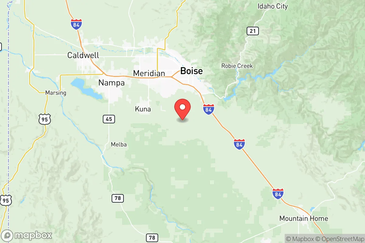
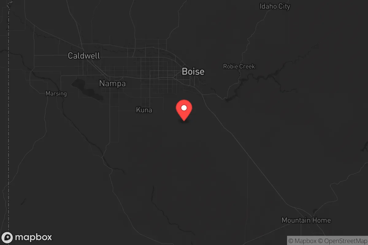
Strategic Assessment of Ada County
Workable tactical position. Some exposure to population density or targets, but generally defensible in a crisis.
What does the Strategic Assessment tell us?
Our Strategic Assessment grades tactical survivability of an area. Major population centers, military targets, fallout zones, natural disasters, and border exposure all drive risk — lower exposure means a more defensible position in a crisis.
This is heavily inspired by Joel Skousen's Strategic Relocation book. Highly recommended you checkout the book ($)What does this tell us?
Our Strategic Assessment grades tactical survivability of an area. Major population centers, military targets, fallout zones, natural disasters, and border exposure all drive risk — lower exposure means a more defensible position in a crisis.
This is heavily inspired by Joel Skousen's Strategic Relocation book. Highly recommended you checkout the book ($)Strategic Pillars

Key Distances
Strategic Assessment Analysis
Ada County, Idaho, offers a compelling mix of geographic isolation and logistical connectivity that makes it a serious contender for those prioritizing long-term resilience and strategic relocation. Anchored by Boise, the state capital, the county sits over 300 miles from the nearest major Pacific port and roughly 400 miles from the Salt Lake City urban corridor, placing it well outside the blast radius of any likely high-value target on the West Coast. The area’s growth—over 20% population increase since 2020—reflects a steady influx of people seeking distance from coastal instability, but this same growth pressures the very infrastructure that makes the region attractive. For a conservative-leaning individual or family focused on preparedness, Ada County presents a trade-off: genuine natural advantages and a strong local governance culture, offset by increasing density and proximity to a few key vulnerabilities.
Geographic position and natural advantages for long-term security
Ada County’s position in the southwestern corner of Idaho is defined by the Boise River Valley, a corridor that provides reliable water access and fertile ground—rare assets in the arid Intermountain West. The county is flanked by the Boise National Forest to the north and the Owyhee Mountains to the south, creating natural buffers that slow urban sprawl and offer retreat options if needed. The city of Boise itself sits at an elevation of 2,700 feet, which moderates summer heat and reduces wildfire risk compared to lower-elevation desert communities like Mountain Home or Twin Falls. To the east, the city of Eagle and the town of Meridian have expanded rapidly, but their proximity to the Boise River and the New York Canal system means they retain access to surface water that many Western communities lack. The county’s position along Interstate 84 provides a direct route to the Oregon border and the Snake River Plain, but it’s not a major freight corridor like I-5 or I-80, meaning less through-traffic and fewer logistical choke points during a crisis. For a relocator, the key advantage is simple: Ada County is far enough from the coasts to avoid the immediate fallout of a major port disruption or a nuclear event in a major city, yet close enough to the Mountain West’s resource base to sustain a semi-independent lifestyle.
Risks, exposures, and proximity to fallout-relevant landmarks
No strategic assessment is honest without naming the liabilities. Ada County’s most significant exposure is its proximity to the Idaho National Laboratory (INL), located about 50 miles east of Boise near the town of Idaho Falls. While INL is a research facility, not a weapons depot, it handles nuclear materials and has been the site of past incidents—including a 2011 chemical release and ongoing concerns about radioactive waste storage. A major event at INL could render large portions of eastern Idaho uninhabitable and potentially affect wind-borne fallout patterns across Ada County, depending on prevailing westerlies. Closer to home, the Boise Airport (BOI) is a regional hub that sees daily commercial and military cargo traffic, making it a potential target for any adversary seeking to disrupt the region’s supply chain. The airport sits just three miles from downtown Boise, and a strike there would create a debris field and secondary hazards across the city’s core. Additionally, the Micron Technology semiconductor plant in Boise—a critical piece of the national chip supply chain—is a high-value industrial target. A cyber or physical attack on Micron could cripple local employment and trigger cascading economic effects, though it’s less likely to produce physical fallout than INL. Finally, the county’s rapid growth has pushed development into the wildland-urban interface, particularly in the foothills north of Boise and around the town of Star. Wildfire risk is real and increasing, with the 2016 Table Rock Fire and the 2021 Murphy Complex Fire serving as recent reminders that the area is not immune to catastrophic burns. For a prepper, these risks mean that a relocation plan must include a bug-out route east toward the Sawtooth Mountains or south toward the Owyhee Desert, not just a reliance on staying put.
Practical resilience for a relocator: food, water, energy, and defensibility
Water is the single most important factor in any Western relocation, and Ada County has a mixed report. The Boise River is fed by snowmelt from the Sawtooth Range, and the county’s water rights are senior and well-regulated through the Idaho Department of Water Resources. However, the Boise River system is fully allocated—meaning no new large-scale diversions are possible without buying existing rights. For a family looking to drill a well, the Treasure Valley aquifer is productive but dropping, with some areas near Meridian reporting static water levels declining by 1-2 feet per year. Rainwater catchment is legal in Idaho, but annual precipitation in Boise averages only 12 inches, making it a supplemental source at best. Food resilience is stronger: Ada County sits within the Treasure Valley, one of the most productive agricultural regions in the Intermountain West, with extensive potato, onion, and sugar beet farming. The Eagle Food Park and the Boise Farmers Market provide local sourcing, but the real advantage is the presence of Lucky Peak Reservoir and Arrowrock Dam, which store irrigation water and could serve as emergency water sources for those with filtration capability. Energy is a bright spot: Idaho Power’s grid is heavily hydroelectric (over 50% of generation), and the county has seen a surge in residential solar installations, with net metering policies that are favorable but capped. For defensibility, Ada County’s terrain is mixed. The Boise Foothills offer natural chokepoints and high ground for those with property north of the city, but the valley floor is flat and open, making it difficult to secure a large rural property without significant investment in perimeter fencing and surveillance. The county’s law enforcement presence is robust—the Ada County Sheriff’s Office is well-funded and has a strong reputation—but during a widespread crisis, response times would stretch thin, especially in outlying areas like the town of Kuna or the rural stretches near the Snake River. For a relocator, the practical takeaway is this: secure a property with a well and solar capacity, preferably in the foothills or near a reliable surface water source, and plan to store at least a 90-day supply of food and ammunition, as local resupply could be disrupted by highway closures or panic buying.
The overall strategic picture for Ada County is one of cautious optimism for the prepared relocator. It offers genuine geographic insulation from coastal chaos, a functioning local government that respects property rights, and access to water and food that many Western counties lack. But the growth is real, and the vulnerabilities—INL, the airport, Micron, and wildfire—are not theoretical. For a single individual or family willing to invest in a well, solar, and a defensible property in the foothills or near Eagle, Ada County can serve as a long-term base of operations. For those expecting to simply move to Meridian and rely on suburban infrastructure, the risks of being caught in a traffic jam during a wildfire or a supply chain disruption are higher than the marketing brochures suggest. The county is not a bunker, but it is a viable staging ground for those who treat relocation as an active strategy, not a passive escape.
* Values derived from national, state, county, city and local statistics and may differ in a specific area. Last updated: 2026-05-22T00:05:10.000Z
Narrative content on this page is AI-generated and may contain mistakes. Verify any details that matter before acting on them.
ReloMaps may earn a commission from affiliate links at no extra cost to you.