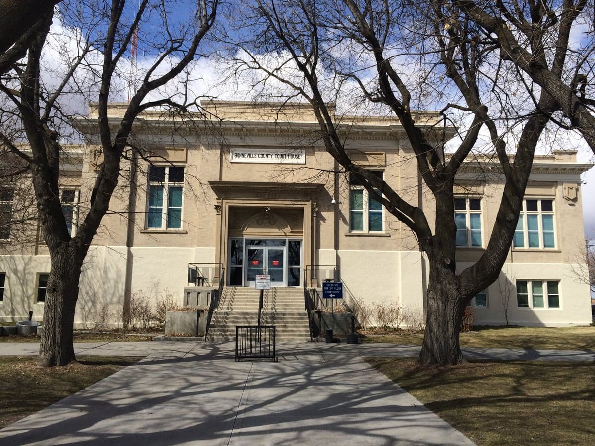
Photo: Wikipedia
Strategic Assessment of Bonneville County
Strong survivability profile. Good buffer from population centers, with manageable environmental and tactical risks.
What does the Strategic Assessment tell us?
Our Strategic Assessment grades tactical survivability of an area. Major population centers, military targets, fallout zones, natural disasters, and border exposure all drive risk — lower exposure means a more defensible position in a crisis.
This is heavily inspired by Joel Skousen's Strategic Relocation book. Highly recommended you checkout the book ($)What does this tell us?
Our Strategic Assessment grades tactical survivability of an area. Major population centers, military targets, fallout zones, natural disasters, and border exposure all drive risk — lower exposure means a more defensible position in a crisis.
This is heavily inspired by Joel Skousen's Strategic Relocation book. Highly recommended you checkout the book ($)Strategic Pillars

Key Distances
Strategic Assessment Analysis
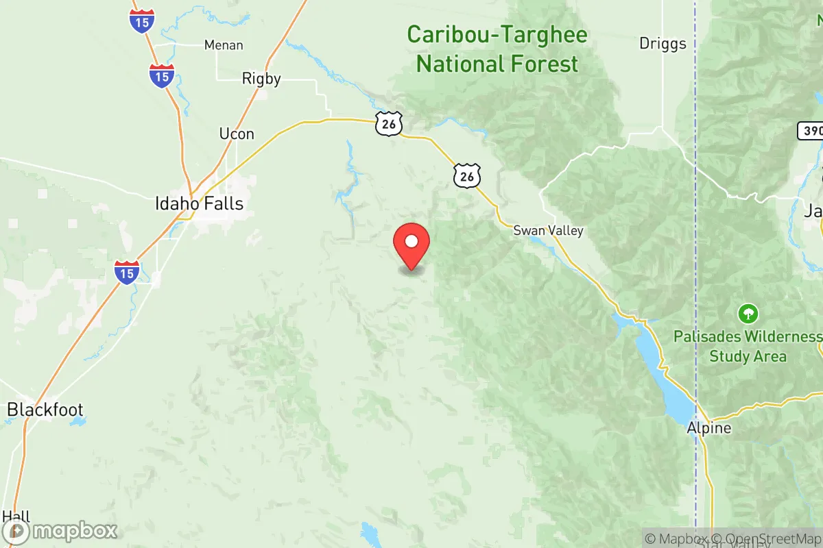
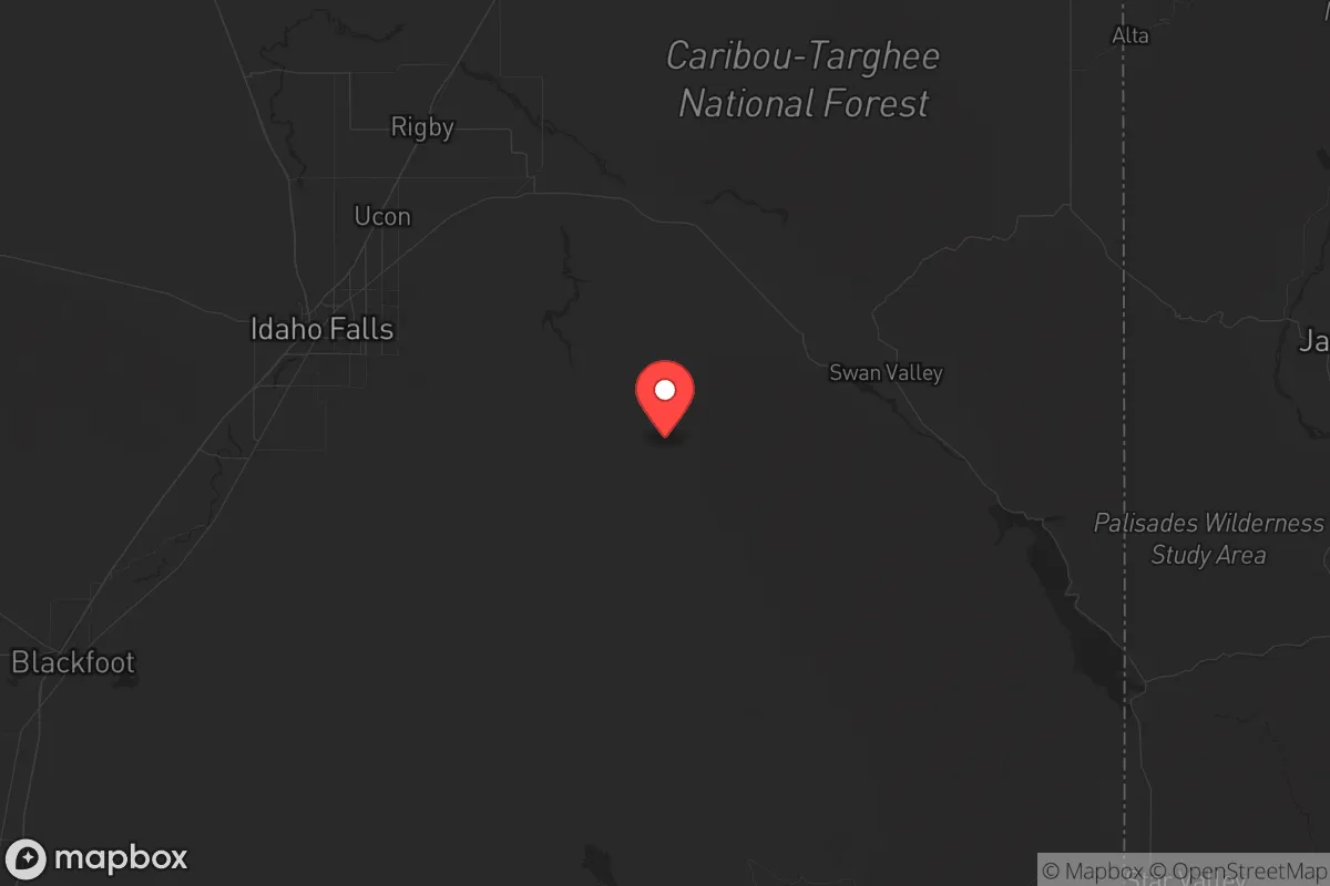
Bonneville County, anchored by Idaho Falls, offers a compelling strategic position for those prioritizing resilience and self-sufficiency in an increasingly uncertain national landscape. Its location in the eastern Snake River Plain provides a rare combination of geographic isolation from major coastal population centers, robust local food and energy production, and a demographic profile that leans heavily toward self-reliance and conservative values. For a relocator assessing long-term security—whether from civic unrest, supply chain disruptions, or large-scale disasters—this county presents a defensible, resource-rich option that avoids the fallout zones and chokepoints of the West Coast or the Front Range.
Geographic position and natural advantages for long-term security
Bonneville County sits roughly 250 miles from the nearest major metropolitan area—Salt Lake City—and over 300 miles from Boise, placing it well outside the immediate chaos radius of any major urban collapse. The county’s position in the Snake River Plain means it has access to one of the most productive agricultural regions in the Intermountain West, with the Snake River itself providing a reliable surface water source that is less vulnerable to drought than many Western basins. The surrounding topography—the Caribou-Targhee National Forest to the east and the Big Hole Mountains to the northeast—offers natural barriers and escape routes into high-elevation terrain if needed. Idaho Falls itself sits at 4,700 feet, which provides a moderate climate with four distinct seasons but avoids the extreme cold of Montana or the high desert aridity of southern Idaho. The nearby Teton Range and Yellowstone Plateau to the east create a buffer zone that limits easy access from the more populated Wasatch Front, giving residents strategic depth in a crisis scenario.
Risks, exposures, and proximity to fallout-relevant landmarks
The most significant risk in Bonneville County is its proximity to the Idaho National Laboratory (INL), a 890-square-mile Department of Energy complex located about 30 miles west of Idaho Falls. INL houses nuclear research reactors, spent fuel storage, and radioactive waste facilities—making it a potential target for both state-level adversaries and domestic disruption. A major incident at INL, whether from sabotage, earthquake, or accident, could render large portions of the county uninhabitable for extended periods, depending on wind patterns. The county also sits within 100 miles of the Teton Dam site (the 1976 failure killed 11 people and caused billions in damage), and while the dam has been rebuilt, the region remains seismically active with the Hebgen Lake fault zone to the north. On the positive side, Bonneville County is far removed from any major petrochemical refining hubs, large ports, or military bases that would be primary targets in a conflict. The nearest major military installation is Hill Air Force Base in Utah, over 200 miles south, and the closest strategic port is in Seattle, over 500 miles away. This distance from high-value targets is a net positive for a survivalist assessment, though the INL proximity remains the single largest exposure that must be factored into any relocation decision.
Practical resilience for a relocator: food, water, energy, and defensibility
For a relocator focused on practical self-sufficiency, Bonneville County delivers on several fronts. The Snake River Plain is one of the most productive agricultural zones in the West, with local farms producing potatoes, wheat, barley, hay, and sugar beets in abundance. The county’s position in the Eastern Idaho Agricultural Region means that even in a supply chain disruption, local food availability would be far better than in most of the country. Water rights are a critical consideration—the Snake River is a senior water right system, and while new appropriations are difficult, existing agricultural and residential wells in the county are generally reliable. The area’s energy grid is served by Idaho Power, which draws heavily from hydroelectric sources (including the nearby Palisades Dam), making it less vulnerable to fuel supply interruptions than coal- or gas-dependent regions. For off-grid capability, the region’s solar potential is decent (about 4.5 peak sun hours per day), and the abundance of public land in the Caribou-Targhee National Forest provides firewood and game for those with the skills to harvest them. Defensibility is a mixed picture: the county is largely open farmland with scattered subdivisions, which makes perimeter security challenging compared to a mountain valley. However, the small towns like Ammon, Iona, and Ucon offer tight-knit communities where neighbors know each other—a social resilience factor that cannot be overstated. The county’s population of roughly 125,000 is spread over 1,900 square miles, giving a density of about 65 people per square mile, which is low enough to avoid the crowding that accelerates resource depletion in a crisis.
The overall strategic picture for Bonneville County is one of calculated trade-offs. It offers genuine advantages in food production, water access, and distance from major target zones, all within a cultural environment that values preparedness and self-reliance. The INL risk is real and cannot be ignored, but it is a single point of exposure rather than the diffuse vulnerabilities of living near a major port, refinery, or military base. For a conservative-leaning individual or family looking to relocate to a place where they can reasonably expect to ride out a period of national instability, Bonneville County ranks among the better options in the Intermountain West—provided they are willing to accept the nuclear shadow that hangs over the region and plan their specific location (e.g., east of Idaho Falls, away from the INL plume zone) accordingly.
* Values derived from national, state, county, city and local statistics and may differ in a specific area. Last updated: 2026-06-04T21:37:24.000Z
Narrative content on this page is AI-generated and may contain mistakes. Verify any details that matter before acting on them.
ReloMaps may earn a commission from affiliate links at no extra cost to you.