Photo: Wikipedia
Strategic Assessment of Jerome County
Strong survivability profile. Good buffer from population centers, with manageable environmental and tactical risks.
What does the Strategic Assessment tell us?
Our Strategic Assessment grades tactical survivability of an area. Major population centers, military targets, fallout zones, natural disasters, and border exposure all drive risk — lower exposure means a more defensible position in a crisis.
This is heavily inspired by Joel Skousen's Strategic Relocation book. Highly recommended you checkout the book ($)What does this tell us?
Our Strategic Assessment grades tactical survivability of an area. Major population centers, military targets, fallout zones, natural disasters, and border exposure all drive risk — lower exposure means a more defensible position in a crisis.
This is heavily inspired by Joel Skousen's Strategic Relocation book. Highly recommended you checkout the book ($)Strategic Pillars

Key Distances
Strategic Assessment Analysis
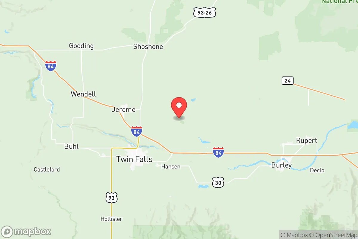
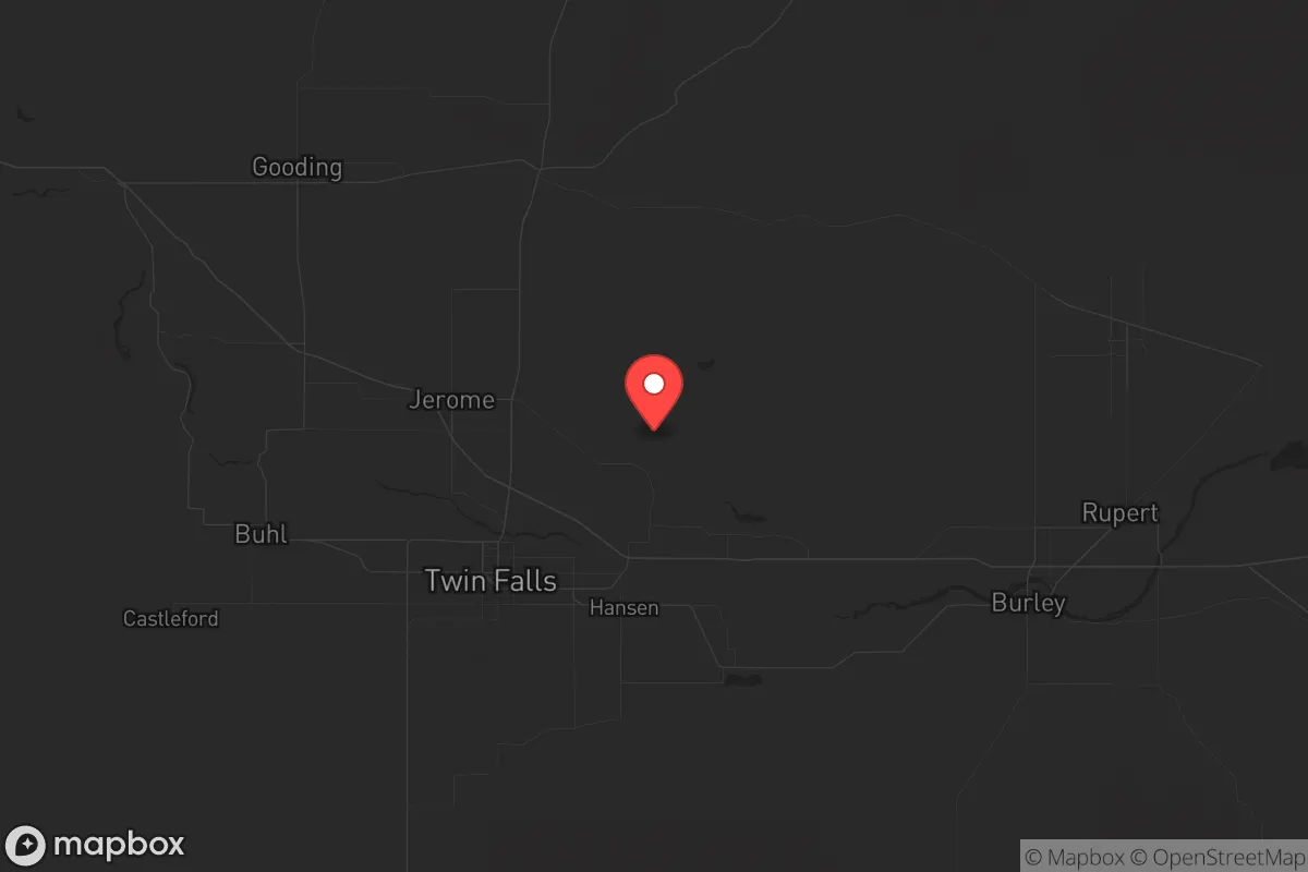
Jerome County, Idaho, sits in a sweet spot that resilience-minded relocators rarely find: close enough to infrastructure to matter, far enough from collapse zones to survive. Anchored by the city of Jerome and flanked by Twin Falls to the east, this Magic Valley county offers a strategic buffer against the kind of cascading failures that plague coastal metros. The area’s agricultural backbone, low population density, and distance from major fallout targets make it a serious contender for anyone prioritizing long-term stability over convenience.
Geographic position and natural advantages for long-term stability
Jerome County occupies the south-central Idaho plain, roughly 130 miles southeast of Boise and 90 miles west of Pocatello. The Snake River cuts through the county’s southern edge, providing a reliable water source that most of the arid West cannot claim. The surrounding landscape—irrigated farmland, sagebrush flats, and the distant Sawtooth Mountains—offers natural defensibility without the isolation that makes resupply impossible. The county sits at roughly 3,800 feet elevation, which moderates summer heat and reduces wildfire risk compared to lower-elevation parts of the state. Winters are cold but manageable, with average January lows around 20°F, meaning freeze-thaw cycles won’t destroy unheated storage like they would in northern Montana. The region’s volcanic soil, fed by ancient Bonneville Flood deposits, is among the most productive in the nation—a fact not lost on anyone thinking about food security after a supply-chain disruption.
Risks, exposures, and proximity to fallout-relevant landmarks
Jerome County’s primary risk is not direct attack but proximity to secondary targets. The county lies about 60 miles southwest of the Idaho National Laboratory (INL) near Idaho Falls, a sprawling nuclear research and waste facility that would be a high-priority target in any major conflict. A ground burst at INL could send fallout across the Snake River Plain, potentially affecting Jerome County depending on wind direction. Closer to home, the Magic Valley Regional Airport in Twin Falls is a minor general aviation field—not a primary target, but worth noting for its potential as a staging area during evacuation. The county is also within 200 miles of Mountain Home Air Force Base, a strategic bomber and tanker base that would likely be struck early in a conflict. On the plus side, Jerome County has no major refineries, ports, or military installations within its borders. The nearest large population center is Boise (metro population ~750,000), which is far enough to avoid its collapse dynamics but close enough to attract refugees during a crisis. The county’s biggest natural risk is earthquake activity along the nearby Wasatch Fault zone—a major quake could disrupt the Snake River aquifer and irrigation systems, but historical records show only minor seismic events in the area.
Practical resilience for a relocator: food, water, energy, and defensibility
For someone serious about self-sufficiency, Jerome County delivers on the basics. The Snake River aquifer provides abundant groundwater, and most rural properties can drill a well at reasonable depth (100-300 feet). Surface water from the Snake River itself is accessible but requires permits for diversion. The county’s agricultural economy means local food production is robust—dairy, beef, potatoes, sugar beets, and alfalfa dominate. The Jerome Processing Plant (a major potato and onion packing facility) and multiple feedlots mean bulk food is available even in normal times. For energy, the county is served by Idaho Power, which draws heavily from hydroelectric dams on the Snake River—a grid that is more resilient than coal-dependent regions but still vulnerable to EMP or cyberattack. Solar potential is excellent, with over 200 sunny days per year, and off-grid setups are common among rural landowners. Defensibility is moderate: the county is mostly flat farmland with scattered canal networks, making it hard to defend a single chokepoint but easy to monitor approach routes. The city of Jerome itself (population ~12,000) has a small police force and a county sheriff’s office, but rural areas rely heavily on mutual aid. The Minidoka National Wildlife Refuge to the east provides a buffer of undeveloped land that complicates any large-scale movement through the area. For a relocator, the key is to buy land away from main highways (US-93 and I-84 run through the county) and establish a well-stocked homestead with multiple water sources.
The overall strategic picture for a conservative relocator
Jerome County is not a bug-out location—it’s a live-in location. The combination of fertile soil, reliable water, low crime rates, and distance from primary targets makes it one of the better bets in the Intermountain West for someone who wants to ride out the next decade without constant fear of civil unrest or supply-chain collapse. The conservative culture is genuine, not transplanted: the county voted +38 R in the 2024 presidential election, and local governance is minimal and hands-off. The downsides are real: limited medical infrastructure (the nearest trauma center is in Twin Falls, 15 minutes east), a small job market outside agriculture, and the ever-present risk of fallout from INL if things go hot. But for a single individual or family willing to invest in a well, solar panels, and a year’s worth of stored supplies, Jerome County offers a defensible, productive base that doesn’t require living in a bunker. The magic is in the middle—close enough to civilization to matter, far enough to survive.
* Values derived from national, state, county, city and local statistics and may differ in a specific area. Last updated: 2026-05-12T15:22:45.000Z
Narrative content on this page is AI-generated and may contain mistakes. Verify any details that matter before acting on them.
ReloMaps may earn a commission from affiliate links at no extra cost to you.