Photo: Wikipedia
Strategic Assessment of Issaquah, WA
Multiple tactical vulnerabilities. Population density, target proximity, or disaster risk are likely compounding. A retreat property and exit planning is required.
What does the Strategic Assessment tell us?
Our Strategic Assessment grades tactical survivability of an area. Major population centers, military targets, fallout zones, natural disasters, and border exposure all drive risk — lower exposure means a more defensible position in a crisis.
This is heavily inspired by Joel Skousen's Strategic Relocation book. Highly recommended you checkout the book ($)What does this tell us?
Our Strategic Assessment grades tactical survivability of an area. Major population centers, military targets, fallout zones, natural disasters, and border exposure all drive risk — lower exposure means a more defensible position in a crisis.
This is heavily inspired by Joel Skousen's Strategic Relocation book. Highly recommended you checkout the book ($)Strategic Pillars

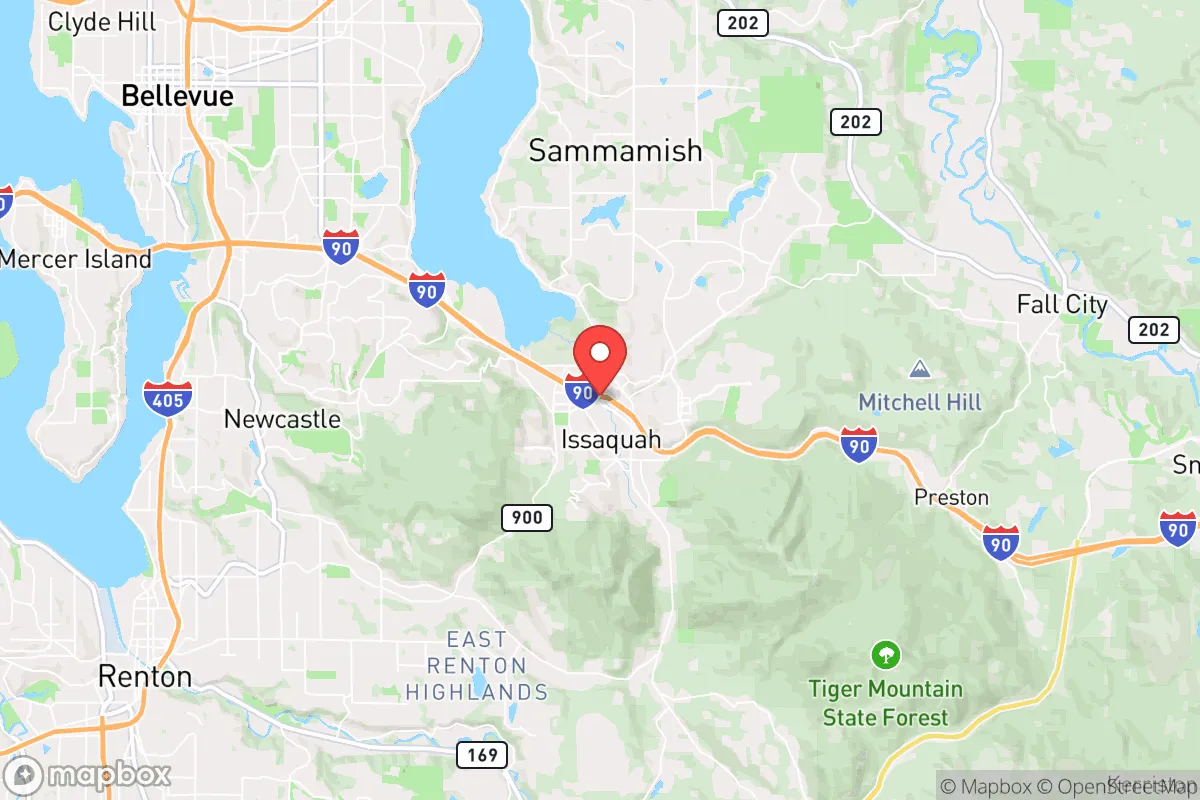
Key Distances
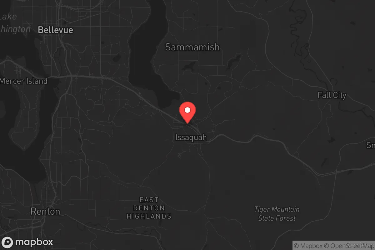
Regional Safe Places
Below is our recommended "safe zones" in Washington and the surrounding area based on our strategic heuristics. For most people, it's unrealistic to live in a “safe zone” full-time due to work, family or other personal reasons. They tend to be more rural. However, many of these areas are perfect for second homes and retreat properties that double as a vacation home or even a short-term rental.


Important Note: For informational purposes only. This does not mean nothing bad ever happens in the green zones. Please use common sense. This is based on public data and modeled with AI. We tried to take a conservative approach but mistakes happen. We update this regularly as new information becomes available.
Solar Generator Recommendations
Backup power matters more here than in safer locations. We've picked three solar generators across budgets and capacity tiers — start with the budget unit if you only need a few essentials, or step up if you want to run a fridge and HVAC for days at a time.

Jackery Portable Power Station Explorer 300
Budget OptionPower on the Go: Weighing only 11 lbs, it's convenient to set up and store with book-sized foldable solar panels

BLUETTI Portable Power Station AC180
Designed for both indoor and outdoor scenarios, AC180 is highly capable as it has a robost capacity and continuous output power.

EF ECOFLOW DELTA Pro Ultra Power Station
Upgraded PickEcoFlow DELTA Pro Ultra is a whole-home energy system designed to grow with your family. Integrated with the Smart Home Panel 2, it scales to meet your evolving energy needs — keeping your home powered, intelligent, and secure through every stage of life.
We earn a commission, at no additional cost to you.
Strategic Assessment Analysis
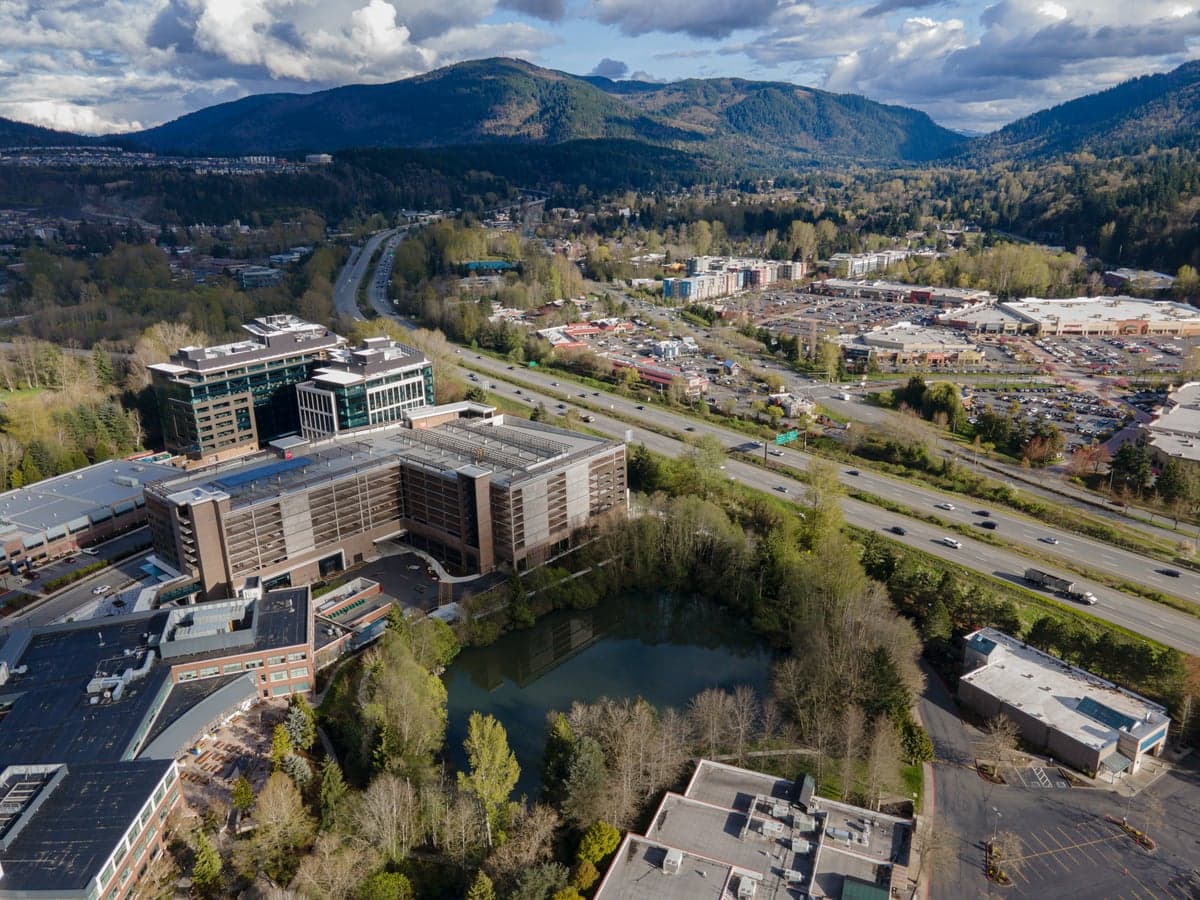
Issaquah, Washington, sits in a precarious strategic position that demands careful consideration for anyone serious about long-term resilience. While its natural setting offers genuine advantages, its proximity to Seattle and the broader Puget Sound region introduces vulnerabilities that a survival-minded relocator cannot ignore. The city’s location at the crossroads of Interstate 90 and State Route 900 provides critical egress routes, but those same arteries become choke points during a crisis. For a conservative-leaning individual or family weighing relocation, Issaquah presents a mixed picture: solid geographic buffers against some threats, but troubling exposure to the cascading effects of a major urban collapse.
Geographic position and natural advantages for long-term survival
Issaquah’s primary strategic asset is its position in the foothills of the Cascade Range, roughly 17 miles east of Seattle. This places it far enough from the urban core to avoid the immediate blast radius of a major event, yet close enough to be affected by secondary waves of unrest, refugees, or supply chain failures. The city sits in a valley surrounded by the Issaquah Alps—Cougar Mountain, Squak Mountain, and Tiger Mountain—which provide natural defensibility and multiple potential retreat points. These forested ridges offer cover, game, and water sources, but they also limit visibility and create potential ambush zones if you’re not familiar with the terrain. The area’s temperate maritime climate means mild winters and moderate rainfall, supporting year-round gardening and reducing the risk of extreme weather events that would complicate survival. However, the same climate that sustains lush vegetation also fosters dense undergrowth, making off-trail movement difficult and increasing the risk of wildfires during dry spells—a growing concern in the Pacific Northwest.
Risks, exposures, and proximity to fallout-relevant landmarks
The most significant vulnerability for Issaquah is its proximity to Seattle and the broader Puget Sound military-industrial complex. Joint Base Lewis-McChord, about 40 miles south, is a major Army and Air Force installation that would be a primary target in any conflict involving state actors. Naval Base Kitsap, roughly 30 miles west, houses nuclear submarines and is another high-value target. In a worst-case scenario, fallout from a strike on these bases could drift eastward, depending on wind patterns, potentially contaminating Issaquah’s water and soil. Beyond military targets, Seattle’s port facilities, Boeing’s Everett plant, and the region’s tech infrastructure (including data centers and Amazon’s headquarters) are all potential targets for sabotage or cyberattacks that could cripple power grids and communications. Issaquah’s own infrastructure—including the I-90 corridor and the nearby Snoqualmie Pass—would be a natural funnel for refugees fleeing Seattle, turning the city into a bottleneck. The 2020 protests in Seattle demonstrated how quickly civil unrest can spill into the suburbs; Issaquah’s police force, while professional, is small and would be overwhelmed by a mass evacuation or riot scenario. Additionally, the city’s reliance on a single major highway for east-west travel is a critical weakness—if I-90 is blocked or destroyed, egress to the interior is severely limited.
Practical resilience for a relocator: food, water, energy, and defensibility
For a relocator looking to establish a sustainable homestead, Issaquah’s resources are a mixed bag. The city’s water supply comes from the Tolt River and the Cedar River watersheds, both managed by Seattle Public Utilities. This means your tap water is tied to a regional system that could fail during a grid-down scenario. However, the area’s high rainfall (roughly 40 inches annually) makes rainwater catchment a viable option, and the numerous creeks and streams on the surrounding mountains provide backup sources—though you’ll need to filter and boil due to potential contamination from wildlife or upstream development. The soil in the valley is fertile, supporting gardens and small orchards, but the short growing season (roughly 150 days) limits what you can produce without a greenhouse. Local zoning laws in Issaquah are relatively permissive for backyard chickens and small livestock, but larger animals like goats or pigs may require acreage outside city limits. Energy resilience is a concern: Puget Sound Energy dominates the grid, and while solar potential is moderate (the region gets about 150 sunny days per year), the frequent cloud cover reduces panel efficiency. A backup generator with stored fuel is essential, and wood heat is a practical option given the surrounding forests—but you’ll need to secure a woodlot or have a reliable supplier, as public lands restrict harvesting. Defensibility is the toughest variable. Issaquah’s suburban layout—with cul-de-sacs, wooded lots, and a mix of single-family homes and townhouses—offers some natural screening but also creates blind spots. A property on the edge of town, backing onto Squak Mountain or Tiger Mountain, provides the best tactical position: multiple escape routes into the forest, limited road access for intruders, and proximity to natural resources. But be aware that the city’s population density (roughly 40,000 people in 2025) means you’ll have neighbors within earshot, and in a crisis, that proximity can be a liability or an asset depending on your community ties.
The overall strategic picture for Issaquah is one of calculated risk. It offers genuine advantages—natural barriers, water access, and a climate that supports subsistence—but those are offset by its entanglement with a major metropolitan area and critical military infrastructure. For a single individual or family willing to invest in off-grid capabilities and build a local network of like-minded neighbors, Issaquah can work as a base of operations. But it is not a retreat location; it is a forward position that requires constant vigilance and a plan for rapid relocation if the situation deteriorates. If your priority is true isolation and minimal exposure to fallout zones, look further east, past the Cascades. If you need to stay within striking distance of the coast for work or family, Issaquah is a defensible compromise—provided you treat it as a staging ground, not a final destination.
* Values derived from national, state, county, city and local statistics and may differ in a specific area. Last updated: 2026-04-21T11:10:16.000Z
Narrative content on this page is AI-generated and may contain mistakes. Verify any details that matter before acting on them.
ReloMaps may earn a commission from affiliate links at no extra cost to you.