Photo: Wikipedia
Strategic Assessment of Riley County
Strong survivability profile. Good buffer from population centers, with manageable environmental and tactical risks.
What does the Strategic Assessment tell us?
Our Strategic Assessment grades tactical survivability of an area. Major population centers, military targets, fallout zones, natural disasters, and border exposure all drive risk — lower exposure means a more defensible position in a crisis.
This is heavily inspired by Joel Skousen's Strategic Relocation book. Highly recommended you checkout the book ($)What does this tell us?
Our Strategic Assessment grades tactical survivability of an area. Major population centers, military targets, fallout zones, natural disasters, and border exposure all drive risk — lower exposure means a more defensible position in a crisis.
This is heavily inspired by Joel Skousen's Strategic Relocation book. Highly recommended you checkout the book ($)Strategic Pillars

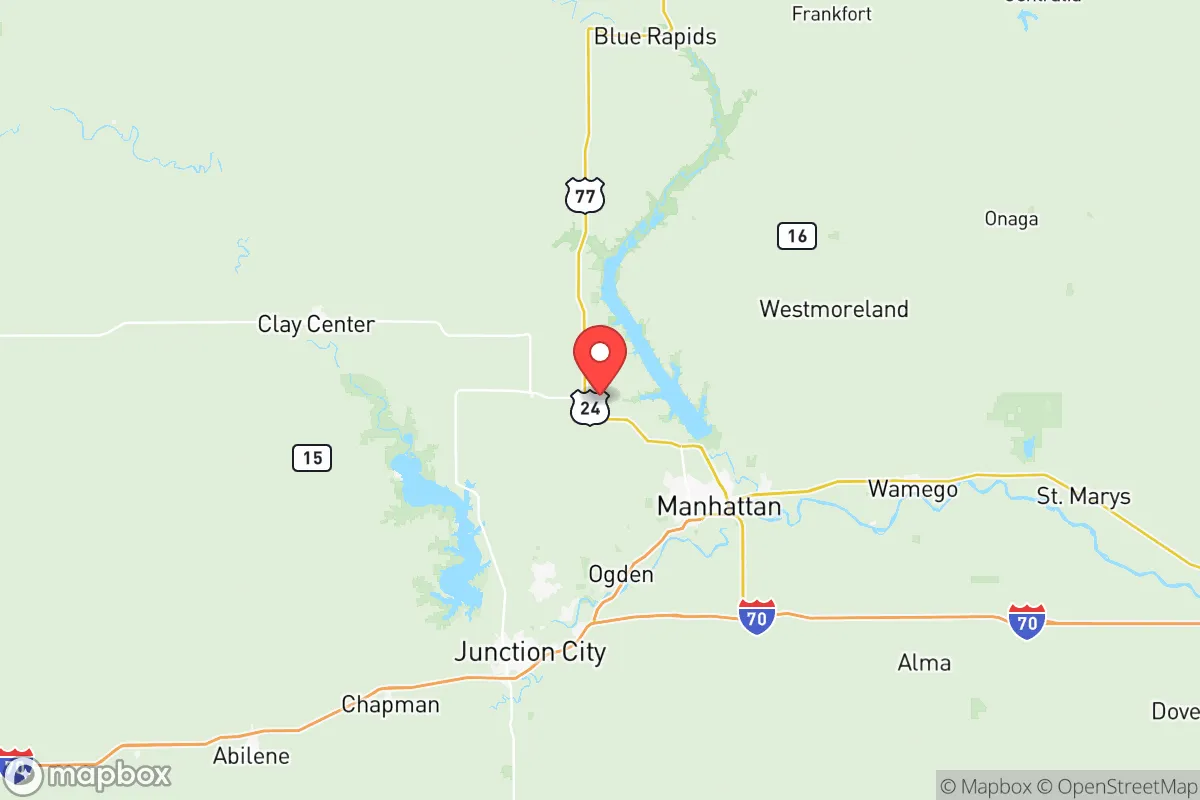
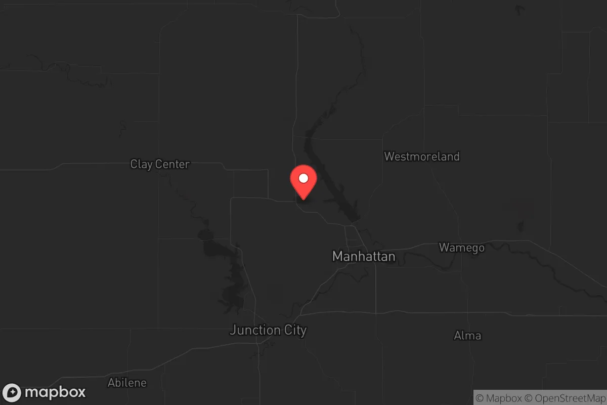
Key Distances
Strategic Assessment Analysis
Riley County, Kansas, anchored by Manhattan and the adjacent Fort Riley military installation, offers a compelling mix of strategic depth and practical resilience for those looking to step back from the volatility of major metropolitan areas. Its location in the Flint Hills—a region of low population density, high ground, and limited industrial targets—provides a natural buffer against the cascading failures that often follow a major disaster, whether economic collapse, civil unrest, or a large-scale event. For a conservative-leaning relocator prioritizing self-sufficiency and security, this area presents a rare combination of defensible geography, institutional stability, and access to essential resources, all while remaining within a day’s drive of critical supply chains and medical hubs.
Geographic position and natural advantages for long-term security
Riley County sits squarely in the Flint Hills, a geological formation that offers several hard-to-replicate advantages. The terrain is rolling and rocky, with thin soil that discourages intensive agriculture but provides excellent drainage and natural defensive positions. The Kansas River and its tributaries, including the Big Blue River and Wildcat Creek, run through the county, offering reliable surface water sources that are less likely to be contaminated by upstream industrial runoff compared to rivers near major cities. The county’s elevation—averaging over 1,000 feet above sea level—means it avoids the floodplain risks of eastern Kansas while still having enough groundwater for wells. The nearest major population center, Kansas City, is roughly 120 miles east, placing Riley County outside the immediate blast radius of any plausible nuclear or industrial accident targeting a large city. Wichita is about 140 miles south, and Topeka is 60 miles west. This distance from high-value targets like Whiteman Air Force Base (110 miles southeast) or the Kansas City refinery corridor (120 miles east) means fallout patterns from a major event would likely pass north or east, leaving Riley County in a relatively clean zone. The county’s position also places it near the geographic center of the continental U.S., making it less vulnerable to coastal disruptions—hurricanes, tsunamis, or naval blockades—that could cripple supply chains for months.
Risks, exposures, and proximity to fallout-relevant landmarks
No location is without risk, and Riley County has its own set of exposures that a serious relocator must weigh. The most obvious is Fort Riley, a major Army base covering over 100,000 acres and housing the 1st Infantry Division. In a crisis, Fort Riley becomes a double-edged sword: it provides a massive concentration of military personnel, equipment, and logistical capability that could stabilize the region, but it also makes the area a potential target for any adversary seeking to degrade U.S. power projection. A conventional or nuclear strike on Fort Riley would produce significant fallout, though prevailing winds typically blow from the southwest, pushing contamination toward the northeast—away from Manhattan and toward the less populated areas of Marshall and Nemaha counties. The Manhattan Regional Airport is a secondary concern; it’s small but could be a target for sabotage or seizure. The county also sits within 200 miles of the Wolf Creek Generating Station (a nuclear power plant near Burlington, Kansas, about 150 miles southeast). A catastrophic failure there could send a plume across eastern Kansas, but Riley County’s distance and the prevailing wind patterns reduce the likelihood of direct contamination. More immediate risks include tornadoes—the Flint Hills are part of Tornado Alley—and the potential for civil unrest spilling out of Kansas State University (enrollment ~20,000) if a crisis triggers mass panic. The university’s student body, while generally moderate, could become a source of chaos if food or fuel supplies are disrupted. Finally, the county’s reliance on a single major highway—I-70 runs just south of the county line—means that any disruption to that corridor (bridge failure, blockade, or natural disaster) would severely limit evacuation or resupply routes. Secondary roads like US-24 and K-18 offer alternatives, but they are two-lane and can be choked by traffic in a crisis.
Practical resilience for a relocator: food, water, energy, and defensibility
For a family or individual looking to establish a sustainable homestead, Riley County offers a workable baseline. Water is the first concern: the county’s groundwater is generally good, with the Ogallala Aquifer’s eastern edge reaching into the area, though wells deeper than 200 feet may be needed in some spots. Surface water from the Kansas River is plentiful but requires filtration and treatment. The Tuttle Creek Reservoir, just north of Manhattan, is a massive 12,500-acre lake that provides a reliable backup water source and supports a robust fishing population. In a prolonged crisis, this reservoir could sustain a community for years if managed properly. Food production is limited by the rocky soil, but the Flint Hills are famous for cattle grazing—the region is the last intact tallgrass prairie ecosystem in North America. A relocator with livestock skills could raise beef or bison on marginal land, while smaller plots can support vegetables, fruit trees, and grains with careful soil amendment. The county’s agricultural extension office at Kansas State University is a world-class resource for sustainable farming techniques. Energy is a mixed bag: the grid is served by Evergy, which relies on coal and natural gas, but the area has strong wind potential—average wind speeds of 12-15 mph—making small-scale wind turbines a viable supplement. Solar is also feasible, with roughly 200 sunny days per year. Defensibility is where Riley County shines. The rolling hills and scattered woodlots provide natural cover and chokepoints. A property with a good well, a backup generator, and a defensible perimeter (e.g., a fenced acreage with a clear line of sight) would be hard to approach without detection. The local population is predominantly rural, conservative, and armed—concealed carry is common, and the county sheriff’s office is well-regarded. In a breakdown of civil order, this community would likely organize quickly rather than descend into chaos. The presence of Fort Riley also means a large pool of veterans and active-duty personnel who bring tactical skills and a sense of duty. However, the same military presence means that any large-scale evacuation or mobilization could draw resources away from civilians, so a relocator should plan to be self-sufficient for at least 90 days.
The overall strategic picture for Riley County is one of cautious optimism for the prepared relocator. It is not a fortress—no place is—but it offers a rare combination of geographic insulation, institutional stability, and natural resources that make it a strong candidate for those seeking to ride out the coming storms. The proximity to Fort Riley and Kansas State University provides a safety net of expertise and logistics, while the distance from major targets and the low population density reduce the odds of being caught in a cascading disaster. The key vulnerabilities—tornadoes, a single major highway, and the potential for base-related fallout—are manageable with proper planning: a reinforced storm shelter, multiple vehicle routes, and a radiation detection kit. For a conservative individual or family willing to invest in land, water infrastructure, and community ties, Riley County represents a solid bet in an uncertain world. The Flint Hills won’t make you rich, but they might keep you alive.
* Values derived from national, state, county, city and local statistics and may differ in a specific area. Last updated: 2026-05-27T19:39:04.000Z
Narrative content on this page is AI-generated and may contain mistakes. Verify any details that matter before acting on them.
ReloMaps may earn a commission from affiliate links at no extra cost to you.