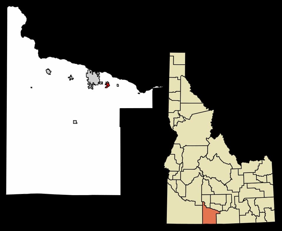
Photo: Wikipedia
Strategic Assessment of Kimberly, ID
Workable tactical position. Some exposure to population density or targets, but generally defensible in a crisis.
What does the Strategic Assessment tell us?
Our Strategic Assessment grades tactical survivability of an area. Major population centers, military targets, fallout zones, natural disasters, and border exposure all drive risk — lower exposure means a more defensible position in a crisis.
This is heavily inspired by Joel Skousen's Strategic Relocation book. Highly recommended you checkout the book ($)What does this tell us?
Our Strategic Assessment grades tactical survivability of an area. Major population centers, military targets, fallout zones, natural disasters, and border exposure all drive risk — lower exposure means a more defensible position in a crisis.
This is heavily inspired by Joel Skousen's Strategic Relocation book. Highly recommended you checkout the book ($)Strategic Pillars

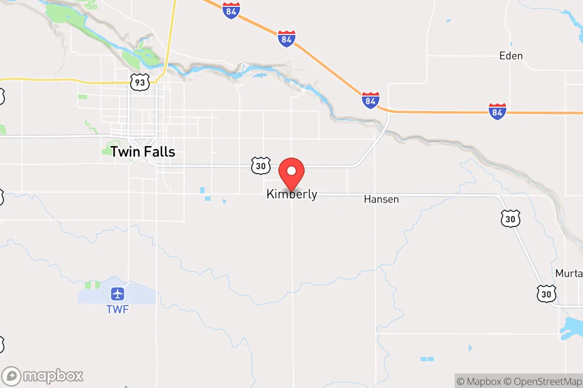
Key Distances
Regional Safe Places
Below is our recommended "safe zones" in Idaho and the surrounding area based on our strategic heuristics. For most people, it's unrealistic to live in a “safe zone” full-time due to work, family or other personal reasons. They tend to be more rural. However, many of these areas are perfect for second homes and retreat properties that double as a vacation home or even a short-term rental.


Important Note: For informational purposes only. This does not mean nothing bad ever happens in the green zones. Please use common sense. This is based on public data and modeled with AI. We tried to take a conservative approach but mistakes happen. We update this regularly as new information becomes available.
Solar Generator Recommendations
Backup power matters more here than in safer locations. We've picked three solar generators across budgets and capacity tiers — start with the budget unit if you only need a few essentials, or step up if you want to run a fridge and HVAC for days at a time.

Jackery Portable Power Station Explorer 300
Budget OptionPower on the Go: Weighing only 11 lbs, it's convenient to set up and store with book-sized foldable solar panels

BLUETTI Portable Power Station AC180
Designed for both indoor and outdoor scenarios, AC180 is highly capable as it has a robost capacity and continuous output power.

EF ECOFLOW DELTA Pro Ultra Power Station
Upgraded PickEcoFlow DELTA Pro Ultra is a whole-home energy system designed to grow with your family. Integrated with the Smart Home Panel 2, it scales to meet your evolving energy needs — keeping your home powered, intelligent, and secure through every stage of life.
We earn a commission, at no additional cost to you.
Strategic Assessment Analysis
Kimberly, Idaho, sits in a sweet spot that few relocation guides talk about: close enough to Twin Falls for supplies and medical care, but far enough to avoid the chaos that comes with a city of 50,000-plus during a crisis. The town’s population hovers around 4,000, and the surrounding Magic Valley region offers a mix of irrigated farmland, high desert, and mountain access that makes it a legitimate candidate for anyone thinking long-term about resilience. For a conservative-leaning individual or family looking to get ahead of civic unrest, supply chain disruptions, or natural disasters, Kimberly checks boxes that most suburban sprawl simply cannot.
Geographic position and natural advantages for long-term security
Kimberly’s location in south-central Idaho places it in the Snake River Plain, a corridor that benefits from a relatively mild climate compared to the rest of the state. Winters are cold but not brutal—average January lows hover around 20°F—and summers are dry and warm, which means less mold, fewer pests, and easier food storage than in humid regions. The town sits at roughly 3,900 feet elevation, which keeps it above the inversion layers that plague valleys like Boise’s, so air quality remains good even during wildfire season. The Snake River flows just a few miles north, providing a reliable water source that is already tapped for irrigation. The surrounding farmland grows potatoes, sugar beets, alfalfa, and wheat, meaning local food production is not a hypothetical—it is the backbone of the economy. For a prepper, that translates to a built-in network of farmers, equipment dealers, and seed suppliers that would be invaluable if national supply chains hiccup. The nearby Sawtooth National Forest and the South Hills offer timber, game, and escape routes if things go sideways. Kimberly is also far from any major military target or strategic infrastructure—no major dams, no nuclear plants, no intermodal rail hubs—which reduces the odds of being in a secondary blast zone or a refugee funnel during a major event.
Risks, exposures, and proximity to fallout-relevant landmarks
No location is immune to risk, and Kimberly has a few that a strategic relocator needs to weigh. The biggest concern is the Idaho National Laboratory (INL), about 90 miles northeast near Idaho Falls. INL is a nuclear research facility with reactors and waste storage, and while it has a solid safety record, it is a non-zero risk for a radiological incident. A worst-case release would depend heavily on wind direction—prevailing winds in the region are from the southwest, which would push fallout toward Wyoming, not Kimberly. But a shift in weather patterns could change that calculus. Closer to home, the Magic Valley is in a seismic zone, though major earthquakes are rare. The last significant quake was a 6.5 near Stanley in 2020, which rattled windows but caused no structural damage in Kimberly. The real risk is more mundane: wildfire. The dry sagebrush and grass surrounding the valley can burn fast, and while Kimberly itself is irrigated and green, the interface between farmland and rangeland is where fires can jump. The town has a volunteer fire department, which is fine for day-to-day calls but would be stretched thin during a regional firestorm. On the plus side, Kimberly is not on any major evacuation corridor. Interstate 84 runs 10 miles north, but it is a two-lane highway in places and can choke quickly. The town’s secondary roads—like 3700 N and 2700 E—offer multiple egress routes into the desert or mountains, which is more than most suburban subdivisions can claim. For a relocator worried about civil unrest, the nearest population center that could produce a refugee wave is Twin Falls (population 52,000), which is small enough that a coordinated response from local law enforcement and the Idaho State Police would likely contain any spillover. Boise, 130 miles northwest, is the real wildcard—if that city experiences a major event, Kimberly would see some traffic, but the distance and the lack of direct highway access make it a poor destination for panicked evacuees.
Practical resilience for a relocator: food, water, energy, and defensibility
For someone serious about self-sufficiency, Kimberly offers a foundation that is hard to beat in the lower 48. Water is the linchpin. The Snake River aquifer is massive, and most homes in the area have access to either municipal water from the Kimberly Water Department or private wells. Well depths typically run 100 to 300 feet, and the water quality is excellent—low in minerals and free of the heavy metals that plague some western aquifers. A hand pump or solar-powered well pump would keep a household running even if the grid goes down. Food production is equally viable. The growing season is about 120 days, which is tight but workable for cold-hardy crops like potatoes, carrots, kale, and beans. The local soil is volcanic loam, well-draining and fertile. A quarter-acre garden can feed a family of four with proper planning, and the local extension office at the University of Idaho in Twin Falls offers free soil testing and canning classes. Energy is a mixed bag. Idaho Power provides electricity from a mix of hydro, natural gas, and wind, and the grid is generally reliable. But the region is prone to winter storms that can knock out power for a few days. Solar is a solid option—Kimberly averages 210 sunny days per year—and net metering is available, though the utility caps it at 25 kW for residential systems. A small propane generator or a battery bank paired with solar panels would cover the gap. Defensibility is where Kimberly shines. The town is laid out on a grid of wide, straight streets with good sightlines. Most homes sit on half-acre to one-acre lots, which means you have a buffer between you and the nearest neighbor. The surrounding farmland is open, making it hard for anyone to approach unnoticed. The local sheriff’s office is responsive—response times in the county average under 10 minutes for priority calls—and the community is tight-knit enough that strangers get noticed quickly. For a relocator who values privacy and the ability to control their perimeter, Kimberly delivers without the fortress-like feel of a gated community.
The overall strategic picture for Kimberly is one of balanced, low-profile resilience. It is not a bug-out location in the wilderness—it is a working town with schools, a grocery store, a hardware store, and a post office. That ordinariness is exactly the point. In a crisis, the places that survive are the ones that can feed themselves, keep the lights on, and maintain social order without relying on outside help. Kimberly has the water, the farmland, the community structure, and the geographic isolation to do that. The trade-offs are real: you are hours from a major airport, the job market is limited to agriculture, healthcare, and small business, and the winters can feel long. But for a conservative-minded individual or family who sees the writing on the wall and wants a place that can weather the storm—literally and figuratively—Kimberly is worth a serious look. It is not flashy, and that is the point.
* Values derived from national, state, county, city and local statistics and may differ in a specific area. Last updated: 2026-05-03T05:01:02.000Z
Narrative content on this page is AI-generated and may contain mistakes. Verify any details that matter before acting on them.
ReloMaps may earn a commission from affiliate links at no extra cost to you.