Photo: Wikipedia
Strategic Assessment of Lone Tree, CO
Multiple tactical vulnerabilities. Population density, target proximity, or disaster risk are likely compounding. A retreat property and exit planning is required.
What does the Strategic Assessment tell us?
Our Strategic Assessment grades tactical survivability of an area. Major population centers, military targets, fallout zones, natural disasters, and border exposure all drive risk — lower exposure means a more defensible position in a crisis.
This is heavily inspired by Joel Skousen's Strategic Relocation book. Highly recommended you checkout the book ($)What does this tell us?
Our Strategic Assessment grades tactical survivability of an area. Major population centers, military targets, fallout zones, natural disasters, and border exposure all drive risk — lower exposure means a more defensible position in a crisis.
This is heavily inspired by Joel Skousen's Strategic Relocation book. Highly recommended you checkout the book ($)Strategic Pillars

Key Distances
Regional Safe Places
Below is our recommended "safe zones" in Colorado and the surrounding area based on our strategic heuristics. For most people, it's unrealistic to live in a “safe zone” full-time due to work, family or other personal reasons. They tend to be more rural. However, many of these areas are perfect for second homes and retreat properties that double as a vacation home or even a short-term rental.


Important Note: For informational purposes only. This does not mean nothing bad ever happens in the green zones. Please use common sense. This is based on public data and modeled with AI. We tried to take a conservative approach but mistakes happen. We update this regularly as new information becomes available.
Solar Generator Recommendations
Backup power matters more here than in safer locations. We've picked three solar generators across budgets and capacity tiers — start with the budget unit if you only need a few essentials, or step up if you want to run a fridge and HVAC for days at a time.

Jackery Portable Power Station Explorer 300
Budget OptionPower on the Go: Weighing only 11 lbs, it's convenient to set up and store with book-sized foldable solar panels

BLUETTI Portable Power Station AC180
Designed for both indoor and outdoor scenarios, AC180 is highly capable as it has a robost capacity and continuous output power.

EF ECOFLOW DELTA Pro Ultra Power Station
Upgraded PickEcoFlow DELTA Pro Ultra is a whole-home energy system designed to grow with your family. Integrated with the Smart Home Panel 2, it scales to meet your evolving energy needs — keeping your home powered, intelligent, and secure through every stage of life.
We earn a commission, at no additional cost to you.
Strategic Assessment Analysis
Lone Tree, Colorado, sits on a strategic perch that few suburban communities can match, combining the economic muscle of the Denver Tech Center with a geography that offers genuine defensive depth. Located at roughly 5,900 feet elevation on the Palmer Divide, this city of roughly 15,000 residents benefits from a position that is close enough to major infrastructure to sustain modern life but far enough from the urban core to avoid the worst of a cascading collapse. For a relocator thinking in terms of decades, not election cycles, Lone Tree’s resilience profile is built on three pillars: its elevated, defensible terrain; its separation from the most likely fallout zones; and its access to the High Plains’ agricultural and water resources. The trade-off is proximity to Denver’s population density and the obvious target that a major metropolitan hub represents, but the city’s specific location mitigates many of the risks that plague closer-in suburbs like Aurora or Englewood.
Geographic position and natural defensive advantages
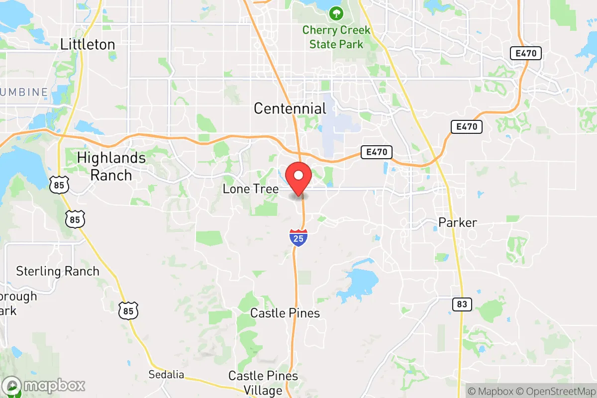
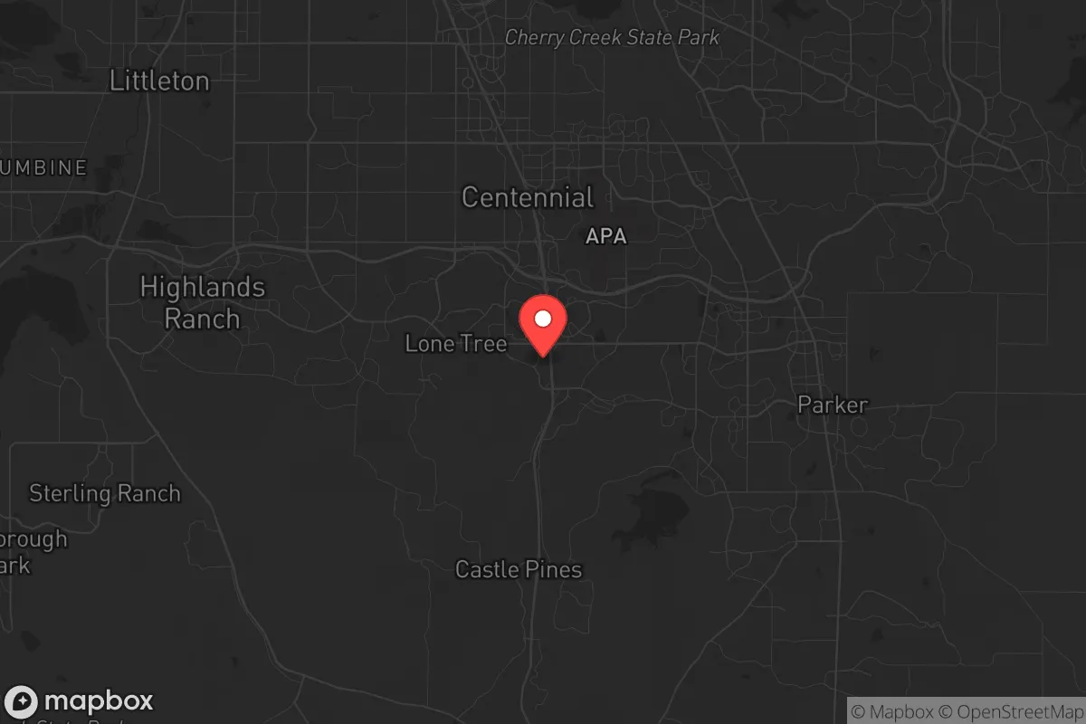
Lone Tree occupies a ridge line along Interstate 25, roughly 20 miles south of downtown Denver, with the Rocky Mountain foothills rising to the west and the High Plains stretching east. This elevation provides a natural vantage point—you can see threats approaching from the north or south for miles, and the city’s layout on rolling hills means that much of the residential area is not visible from the main highway. The Palmer Divide acts as a weather buffer, reducing the frequency of the worst tornadoes that plague the plains while still providing enough precipitation to support local water tables. The city’s position on the edge of the Douglas County open space system means that over 40% of the surrounding land is permanently protected from development, creating a natural buffer zone that would be difficult to traverse in a grid-down scenario. For a prepper, this is the kind of terrain that allows for observation without being observed, and the multiple egress routes—Highway 85 to the east, I-25 north and south, and county roads west toward the mountains—mean you are not easily bottled up.
Risks, exposures, and proximity to fallout-relevant landmarks
The most significant risk for Lone Tree is its proximity to Denver International Airport (DIA), roughly 35 miles northeast, and the Denver federal complex, which includes the Denver Federal Center and Buckley Space Force Base. In a major conflict or terrorist event, these are Tier 1 targets. DIA alone handles over 70 million passengers annually and is a major logistics hub for the Mountain West; a ground-level nuclear detonation or a coordinated attack there would send fallout plumes that could reach Lone Tree depending on wind direction. Buckley Space Force Base, home to the 460th Space Wing and missile warning systems, is a high-value military target that sits just 25 miles northeast. The city is also within 15 miles of the Rocky Mountain Arsenal National Wildlife Refuge, a former chemical weapons manufacturing site that still contains buried contamination—not a direct fallout risk, but a secondary hazard if infrastructure fails and groundwater shifts. Lone Tree’s elevation and prevailing westerly winds offer some protection from fallout originating at DIA or Buckley, but a relocator should plan for the possibility of a 48-hour shelter-in-place scenario if a strike occurs upwind. The city’s own infrastructure—a single major hospital (Sky Ridge Medical Center) and a single water treatment plant—represents a fragility point; a coordinated attack on these would cripple the community’s ability to sustain itself.
Practical resilience for a relocator: food, water, energy, and defensibility
Lone Tree’s practical resilience is a mixed bag that requires active preparation. The city sits atop the Denver Basin aquifer system, which provides groundwater that is generally clean and accessible via private wells in the more rural parts of Douglas County. However, most Lone Tree homes are on municipal water from the South Platte River and Cherry Creek reservoirs, which are vulnerable to contamination or sabotage. A relocator should budget for a deep well or a rainwater catchment system, as the city’s water supply is not hardened against a prolonged grid failure. Food security is better than in most suburbs: Douglas County is still agricultural at its edges, with working ranches and farms within a 15-minute drive that produce cattle, hay, and some vegetables. The local farmers’ markets and CSAs are robust, and the county’s right-to-farm laws protect agricultural operations from nuisance complaints—a subtle but important legal buffer for anyone wanting to keep livestock or grow food on a residential lot. Energy is a weak point: Lone Tree is entirely dependent on Xcel Energy’s grid, which has shown vulnerability to wildfires and winter storms (the 2021 Texas-style freeze that hit Colorado knocked out power for days in some areas). Solar with battery backup is feasible given the 300+ days of sunshine, but homeowners associations in some neighborhoods restrict panel placement. Defensibility is the city’s strongest card: the terrain is hilly with natural chokepoints at the I-25 interchanges, and the community’s layout—winding roads, cul-de-sacs, and open space corridors—makes it difficult for a large group to move through quickly. Lone Tree has a low crime rate and a well-funded police department, but in a collapse scenario, the city’s 15,000 residents would need to organize their own neighborhood watch and perimeter security, as the police force is not sized for sustained civil unrest.
The overall strategic picture for Lone Tree is one of calculated trade-offs. It is not a remote bunker—you are 20 minutes from a city of 2.9 million people, and that proximity brings both supply-chain advantages and target risks. For a relocator who values access to medical care, employment, and modern amenities while still wanting a defensible position with natural buffers, Lone Tree is one of the better options in the Front Range. The key is to treat the city as a base camp, not a fortress: invest in off-grid water and power, build relationships with local ranchers and farmers, and have a bug-out plan for the mountains if the Denver metro area becomes untenable. The city’s resilience is real but conditional—it depends on the grid staying up, the water treatment plant staying operational, and the federal targets to the north not drawing fire. For a conservative-minded relocator who understands that preparation is a lifestyle, not a purchase, Lone Tree offers a solid foundation that can be hardened over time. Just do not mistake its suburban comfort for true security; the threats are real, and the buffer is thinner than it looks on a map.
* Values derived from national, state, county, city and local statistics and may differ in a specific area. Last updated: 2026-04-23T02:02:42.000Z
Narrative content on this page is AI-generated and may contain mistakes. Verify any details that matter before acting on them.
ReloMaps may earn a commission from affiliate links at no extra cost to you.