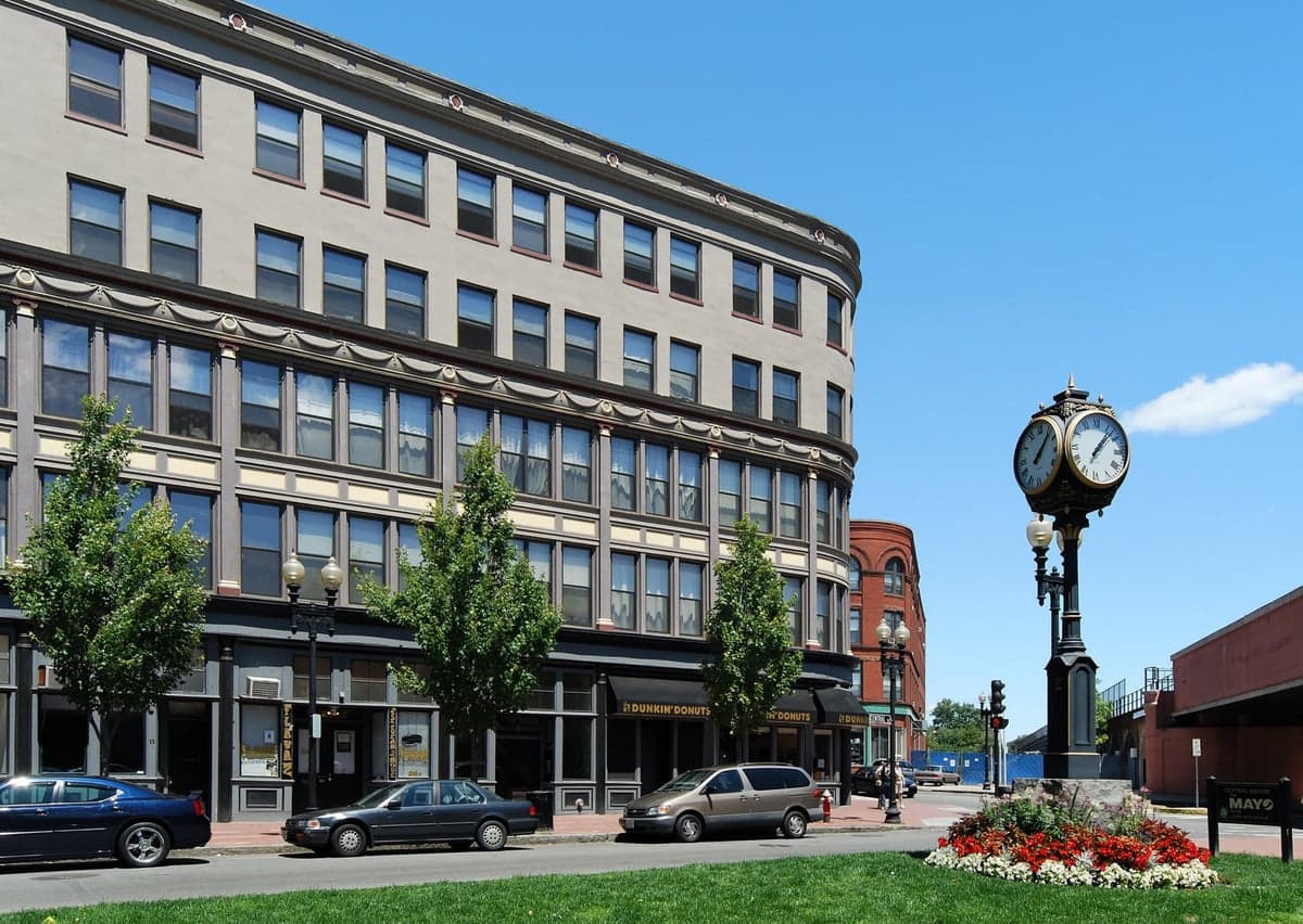
Photo: Wikipedia
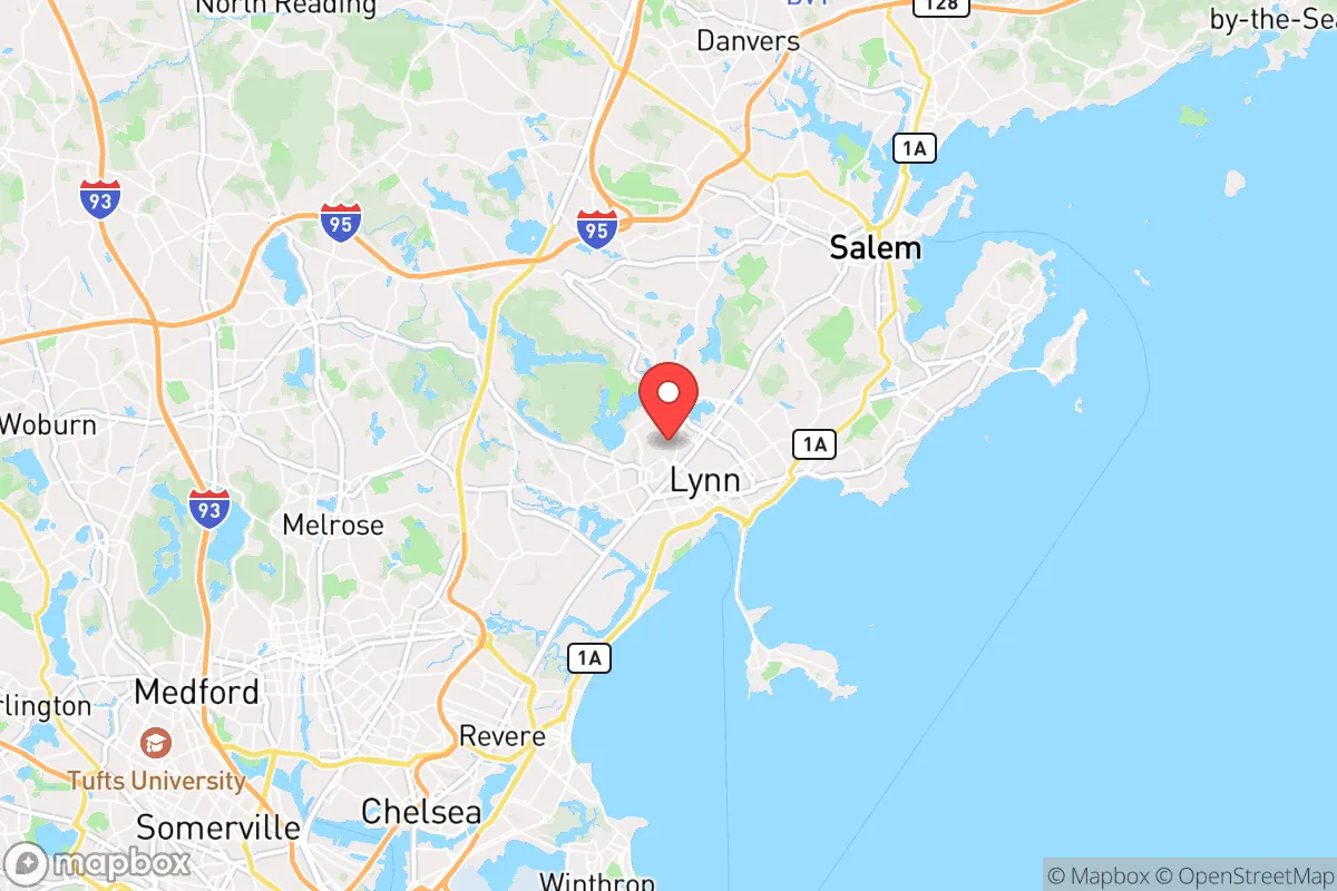
Strategic Assessment of Lynn, MA
High tactical risk. This location is likely close to major population centers, strategic targets, or sits in a high-disaster corridor. A retreat property and careful exit planning is required.
What does the Strategic Assessment tell us?
Our Strategic Assessment grades tactical survivability of an area. Major population centers, military targets, fallout zones, natural disasters, and border exposure all drive risk — lower exposure means a more defensible position in a crisis.
This is heavily inspired by Joel Skousen's Strategic Relocation book. Highly recommended you checkout the book ($)What does this tell us?
Our Strategic Assessment grades tactical survivability of an area. Major population centers, military targets, fallout zones, natural disasters, and border exposure all drive risk — lower exposure means a more defensible position in a crisis.
This is heavily inspired by Joel Skousen's Strategic Relocation book. Highly recommended you checkout the book ($)Strategic Pillars

Key Distances
Regional Safe Places
Below is our recommended "safe zones" in Massachusetts and the surrounding area based on our strategic heuristics. For most people, it's unrealistic to live in a “safe zone” full-time due to work, family or other personal reasons. They tend to be more rural. However, many of these areas are perfect for second homes and retreat properties that double as a vacation home or even a short-term rental.


Important Note: For informational purposes only. This does not mean nothing bad ever happens in the green zones. Please use common sense. This is based on public data and modeled with AI. We tried to take a conservative approach but mistakes happen. We update this regularly as new information becomes available.
Solar Generator Recommendations
Backup power matters more here than in safer locations. We've picked three solar generators across budgets and capacity tiers — start with the budget unit if you only need a few essentials, or step up if you want to run a fridge and HVAC for days at a time.

Jackery Portable Power Station Explorer 300
Budget OptionPower on the Go: Weighing only 11 lbs, it's convenient to set up and store with book-sized foldable solar panels

BLUETTI Portable Power Station AC180
Designed for both indoor and outdoor scenarios, AC180 is highly capable as it has a robost capacity and continuous output power.

EF ECOFLOW DELTA Pro Ultra Power Station
Upgraded PickEcoFlow DELTA Pro Ultra is a whole-home energy system designed to grow with your family. Integrated with the Smart Home Panel 2, it scales to meet your evolving energy needs — keeping your home powered, intelligent, and secure through every stage of life.
We earn a commission, at no additional cost to you.
Strategic Assessment Analysis
Lynn, Massachusetts, sits in a precarious position for anyone serious about long-term strategic relocation. While its coastal location and historic industrial bones offer some theoretical advantages, the reality is that this city is dangerously close to the metropolitan core of Boston, placing it directly in the path of any major civic unrest, mass casualty event, or disaster that originates from that urban center. For a conservative-leaning individual or family prioritizing self-reliance and security, Lynn presents a high-risk, low-reward profile that demands a brutally honest assessment before any commitment is made.
Geographic position and natural advantages for a strategic relocation
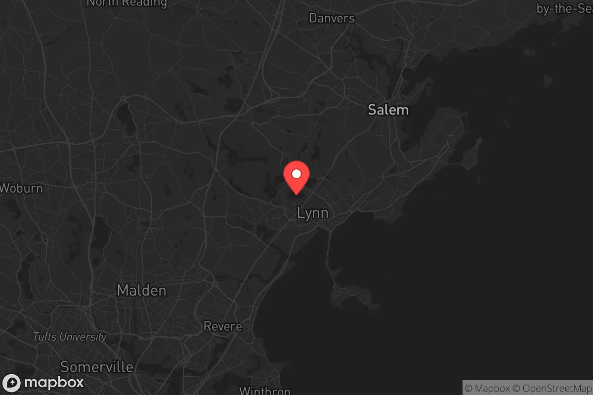
Lynn occupies a narrow strip of land on the North Shore of Massachusetts Bay, roughly 10 miles northeast of downtown Boston. Its most notable natural feature is the Lynn Woods Reservation, a 2,200-acre municipal forest that offers some limited cover and potential for foraging, but it is not a wilderness—it is a heavily used public park surrounded by dense suburban development. The city’s coastline along Nahant Bay provides access to the Atlantic, which could theoretically support fishing or small-boat evacuation, but the waters are cold, rough, and heavily trafficked by commercial and recreational vessels. The terrain is mostly flat to gently rolling, with no significant defensible high ground. The primary natural advantage is the proximity to the ocean for potential maritime escape routes, but this is offset by the fact that Lynn is a coastal flood zone, vulnerable to storm surge and sea-level rise. For a prepper, the lack of a true hinterland—a remote, defensible area with fresh water and arable land—is a critical weakness. The city’s position on a narrow peninsula means that any major disaster would likely trap residents between the ocean and the chaos of the Boston metro area.
Risks, exposures, and proximity to fallout-relevant landmarks
The single greatest risk for a relocator in Lynn is its proximity to Boston, a dense urban center of over 650,000 people that is a prime target for civil unrest, terrorist attacks, or a major infrastructure collapse. In the event of a mass casualty event or a breakdown of social order, the population of Boston and its immediate suburbs would likely attempt to flee north along the limited road corridors—primarily Route 1A, Route 107, and the Lynnway—all of which would become impassable choke points. Lynn itself has a population of roughly 100,000, meaning that even if you are not in the direct blast zone of a Boston-centric event, you are surrounded by a high-density population that will compete for the same limited resources. Additionally, Lynn is within 15 miles of the Boston Logan International Airport, a high-value target for any coordinated attack, and within 20 miles of the Massachusetts Water Resources Authority’s Deer Island treatment plant, a critical infrastructure node that could be a secondary target. The city also sits near the Salem Harbor power station and the Mystic Generating Station in Everett, both of which are potential industrial hazards. For a prepper, the concentration of high-value, high-risk landmarks within a 20-mile radius makes Lynn a poor choice for a long-term bug-in location. The risk of being caught in a secondary event or a refugee wave is simply too high.
Practical resilience for a relocator: food, water, energy, and defensibility
When you strip away the marketing and look at the hard numbers, Lynn’s practical resilience is weak. The city’s water supply comes from the Massachusetts Water Resources Authority (MWRA) system, which draws from the Quabbin Reservoir and the Wachusett Reservoir, both located far to the west. This means that Lynn’s water is entirely dependent on a centralized, long-distance pipeline system that is vulnerable to sabotage, contamination, or pressure loss during a major event. There are no significant natural freshwater sources within the city limits—the Saugus River and the tidal estuaries are brackish and not potable without advanced filtration. For food, Lynn has no agricultural base; the city is fully dependent on trucked-in supplies from the national food distribution network. In a prolonged disruption, grocery stores would empty within 48 hours, and there is no local farming or ranching to fall back on. Energy is equally fragile: the city is served by National Grid, and the grid is old and prone to outages even in minor storms. For a prepper, the lack of a reliable off-grid water source, the absence of local food production, and the dependence on a fragile electrical grid are deal-breakers. Defensibility is also poor. Lynn is a dense, walkable city with narrow streets, attached housing, and limited sightlines. A single-family home with a yard is a rarity, and most residences are multi-unit buildings or older triple-deckers that offer no perimeter security. The Lynn Woods, while large, is not defensible as a retreat because it is public land, heavily patrolled, and surrounded by residential neighborhoods. For a family looking to establish a secure, self-sufficient homestead, Lynn offers almost none of the necessary conditions.
The overall strategic picture for Lynn is clear: it is a high-density, infrastructure-dependent city located in the shadow of a major metropolitan target, with no natural buffer, no local food or water security, and limited defensibility. For a conservative-leaning individual or family who values preparedness, self-reliance, and the ability to weather a prolonged crisis, Lynn is a poor choice. The city’s only real advantage—its coastal location—is outweighed by the risks of being trapped in a refugee corridor, dependent on fragile supply chains, and surrounded by a population that will be competing for the same scarce resources. If you are serious about strategic relocation, look further north or west, where you can find lower population density, access to fresh water, and the ability to establish a defensible position. Lynn is a place to pass through, not a place to dig in.
* Values derived from national, state, county, city and local statistics and may differ in a specific area. Last updated: 2026-05-01T18:57:10.000Z
Narrative content on this page is AI-generated and may contain mistakes. Verify any details that matter before acting on them.
ReloMaps may earn a commission from affiliate links at no extra cost to you.