
Photo: Wikipedia
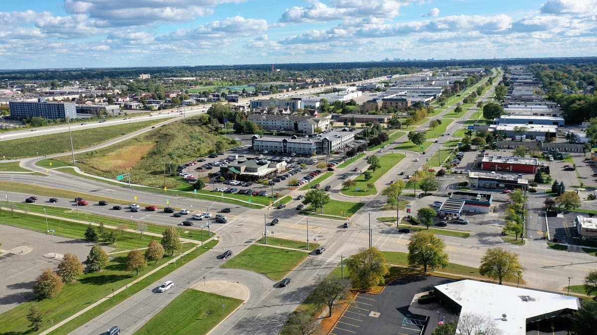
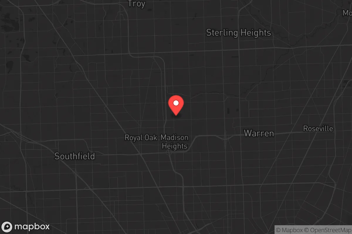
Strategic Assessment of Madison Heights, MI
Multiple tactical vulnerabilities. Population density, target proximity, or disaster risk are likely compounding. A retreat property and exit planning is required.
What does the Strategic Assessment tell us?
Our Strategic Assessment grades tactical survivability of an area. Major population centers, military targets, fallout zones, natural disasters, and border exposure all drive risk — lower exposure means a more defensible position in a crisis.
This is heavily inspired by Joel Skousen's Strategic Relocation book. Highly recommended you checkout the book ($)What does this tell us?
Our Strategic Assessment grades tactical survivability of an area. Major population centers, military targets, fallout zones, natural disasters, and border exposure all drive risk — lower exposure means a more defensible position in a crisis.
This is heavily inspired by Joel Skousen's Strategic Relocation book. Highly recommended you checkout the book ($)Strategic Pillars

Key Distances
Regional Safe Places
Below is our recommended "safe zones" in Michigan and the surrounding area based on our strategic heuristics. For most people, it's unrealistic to live in a “safe zone” full-time due to work, family or other personal reasons. They tend to be more rural. However, many of these areas are perfect for second homes and retreat properties that double as a vacation home or even a short-term rental.


Important Note: For informational purposes only. This does not mean nothing bad ever happens in the green zones. Please use common sense. This is based on public data and modeled with AI. We tried to take a conservative approach but mistakes happen. We update this regularly as new information becomes available.
Solar Generator Recommendations
Backup power matters more here than in safer locations. We've picked three solar generators across budgets and capacity tiers — start with the budget unit if you only need a few essentials, or step up if you want to run a fridge and HVAC for days at a time.

Jackery Portable Power Station Explorer 300
Budget OptionPower on the Go: Weighing only 11 lbs, it's convenient to set up and store with book-sized foldable solar panels

BLUETTI Portable Power Station AC180
Designed for both indoor and outdoor scenarios, AC180 is highly capable as it has a robost capacity and continuous output power.

EF ECOFLOW DELTA Pro Ultra Power Station
Upgraded PickEcoFlow DELTA Pro Ultra is a whole-home energy system designed to grow with your family. Integrated with the Smart Home Panel 2, it scales to meet your evolving energy needs — keeping your home powered, intelligent, and secure through every stage of life.
We earn a commission, at no additional cost to you.
Strategic Assessment Analysis
Madison Heights, Michigan, presents a complex strategic picture for the conservative prepper or survivalist. It is not a bug-out location, but it offers a unique set of resilience advantages for those who must remain within the Detroit metro area. Its primary strength is its position as a secondary suburban node, offering decent infrastructure redundancy and a population density that is high enough to provide economic opportunity but low enough to avoid the worst of a total urban collapse scenario. The city’s location along the I-75 and I-696 corridors provides critical mobility, but that same connectivity is a double-edged sword in a crisis, funneling both evacuees and potential threats directly through the area.
Geographic position and natural advantages for a strategic hold
Madison Heights sits in Oakland County, which is a significant strategic asset. Oakland County is one of the wealthiest counties in the Midwest, with a robust tax base and a history of competent local governance. This translates to better-maintained roads, more reliable emergency services, and a higher likelihood of sustained municipal operations during a prolonged emergency compared to neighboring Wayne County. The city itself is a flat, suburban grid, which is not defensible in a tactical sense, but it offers excellent line-of-sight for observation. The Clinton River watershed runs through the northern edge of the city, providing a modest but reliable surface water source. More importantly, the area is dotted with numerous small lakes and retention ponds within a 10-15 minute drive, offering secondary water collection points. The soil is heavy clay, which is poor for large-scale agriculture but excellent for digging defensive positions or constructing earth-bermed shelters. The region’s four-season climate is a natural barrier; a deep winter freeze will significantly slow the movement of any disorganized threat, buying time for a prepared household.
Risks, exposures, and proximity to fallout-relevant landmarks
The most significant risk is proximity to Detroit, roughly 15 miles south. In a scenario involving civil unrest, mass casualty events, or a collapse of public order, Detroit’s population of over 600,000 will become a massive, mobile threat vector. Madison Heights sits directly in the path of the primary evacuation route north on I-75. The city is also within the fallout zone of several critical infrastructure targets. The Detroit Metropolitan Airport (DTW) is a primary target for any state-level adversary, and while Madison Heights is 25 miles north, prevailing winds from the south-west could carry particulate fallout. More concerning is the proximity to the Ford River Rouge Complex in Dearborn and the numerous chemical plants along the Detroit River. A major industrial accident or targeted strike could release toxic clouds that would drift directly over the city. The city is also sandwiched between two major rail lines (CN and CSX) that carry hazardous materials, including Bakken crude oil and anhydrous ammonia. A derailment or sabotage event in the rail yards just south in Hazel Park or Ferndale would be an immediate, life-threatening event for Madison Heights residents.
Practical resilience for a relocator: food, water, energy, and defensibility
For a relocator, Madison Heights offers a mixed bag of practical resilience. Water is the most immediate concern. The city is entirely dependent on the Great Lakes Water Authority (GLWA) system, which draws from Lake Huron. This system is a single point of failure. A pump station failure, power grid collapse, or contamination event would leave the city dry within hours. A prepper must have a minimum of two weeks of stored water and a plan for rainwater catchment or nearby surface water filtration from the Clinton River. Food security is poor for long-term survival. The city is a food desert in terms of local agriculture. There are no large-scale farms within the city limits. The primary grocery stores (Kroger, Meijer) will be looted within 48 hours of a major event. A relocator must bring their own food stores or have a plan to trade for goods from rural areas north of M-59. Energy is a moderate advantage. DTE Energy’s grid is aging but has a higher reliability rating than Detroit’s. Solar panels are viable, as the area gets decent sun exposure, but they will be a target. A buried propane tank and a dual-fuel generator are a better investment. Defensibility is the weakest point. The suburban grid layout with open backyards and chain-link fences offers no tactical depth. A single house on a corner lot is a death trap. The best defensive position is a house in the interior of a subdivision with a single access point, ideally with a basement that has a secondary exit. The city’s police force is well-funded by Oakland County standards, but in a total collapse, they will be overwhelmed. The best strategy is not to defend a house, but to have a pre-planned rally point with neighbors who share a mutual defense pact. The city’s greatest resilience asset is its proximity to the M-59 corridor. This is the last major east-west highway before the rural farmlands of Lapeer and Macomb counties. A prepared individual can use Madison Heights as a staging ground to resupply and then move north to a secondary bug-out location within 30-45 minutes.
The overall strategic picture for Madison Heights is that of a high-risk, moderate-reward holding position. It is not a place to ride out a long-term collapse, but it is a viable location for someone who needs to remain close to the economic engine of Southeast Michigan for work while maintaining a serious prepping posture. The key is to treat the city as a forward operating base, not a final redoubt. The proximity to Detroit and critical infrastructure targets means that the first 72 hours of any major event will be the most dangerous. If you can survive that window, the city’s access to major highways and the relative stability of Oakland County’s governance give you a fighting chance to execute a planned evacuation north. For the conservative relocator who understands that the suburbs are a buffer zone, not a sanctuary, Madison Heights is a calculated risk that can be managed with proper planning, stored supplies, and a clear exit strategy. Do not get comfortable here; get prepared to leave.
* Values derived from national, state, county, city and local statistics and may differ in a specific area. Last updated: 2026-04-29T23:21:31.000Z
Narrative content on this page is AI-generated and may contain mistakes. Verify any details that matter before acting on them.
ReloMaps may earn a commission from affiliate links at no extra cost to you.