
Photo: Wikipedia
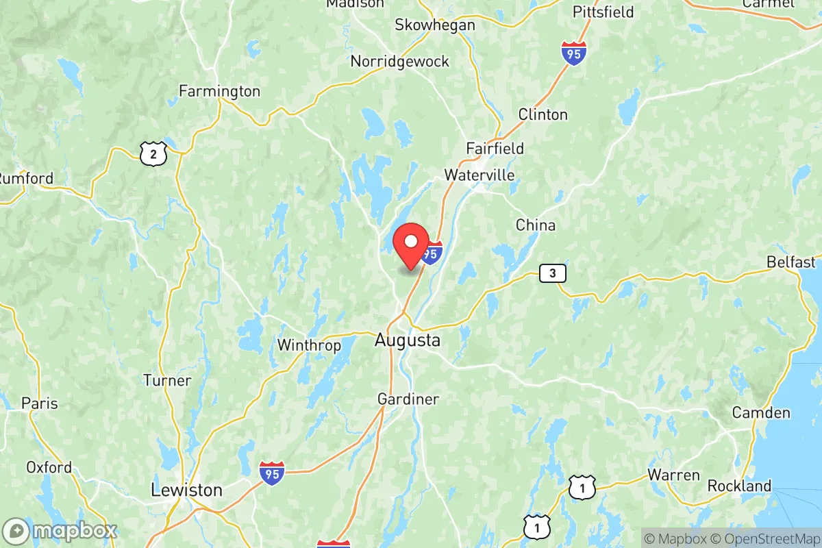
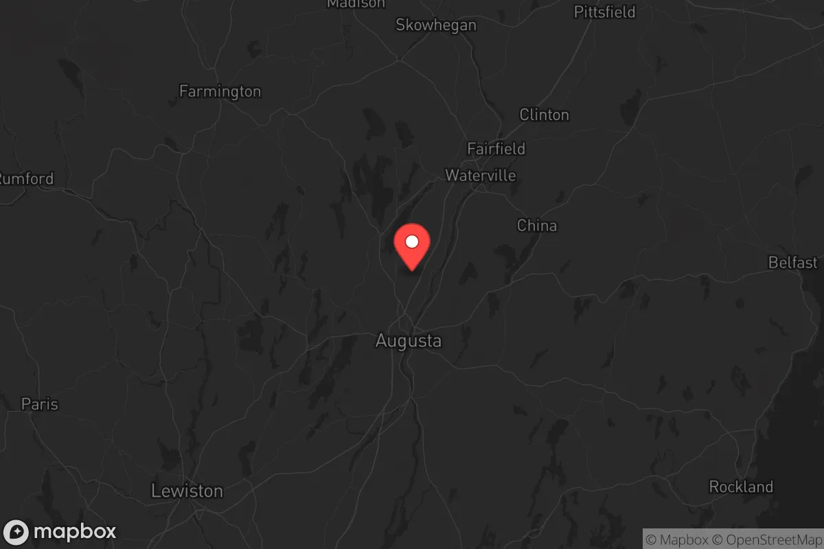
Strategic Assessment of Kennebec County
Meaningful friction. Expect exposure to either population pressure, blast zones, or natural disaster risk. Consider buying a retreat property.
What does the Strategic Assessment tell us?
Our Strategic Assessment grades tactical survivability of an area. Major population centers, military targets, fallout zones, natural disasters, and border exposure all drive risk — lower exposure means a more defensible position in a crisis.
This is heavily inspired by Joel Skousen's Strategic Relocation book. Highly recommended you checkout the book ($)What does this tell us?
Our Strategic Assessment grades tactical survivability of an area. Major population centers, military targets, fallout zones, natural disasters, and border exposure all drive risk — lower exposure means a more defensible position in a crisis.
This is heavily inspired by Joel Skousen's Strategic Relocation book. Highly recommended you checkout the book ($)Strategic Pillars

Key Distances
Strategic Assessment Analysis
Kennebec County, Maine, offers a strategic relocation option for those prioritizing resilience and distance from major population centers, sitting roughly 60 miles northeast of Portland and 20 miles inland from the coast. This positioning places it outside the immediate blast or fallout zones of high-value targets like Portsmouth Naval Shipyard or the oil terminals in South Portland, while still providing access to essential infrastructure. The county’s population of around 125,000 is spread across towns like Augusta, Waterville, and Gardiner, creating a low-density environment that reduces the risks of civil unrest cascading from larger cities. For a conservative-leaning individual or family focused on preparedness, this area balances remoteness with enough local governance and services to maintain a functional daily life.
Geographic position and natural advantages for long-term security
Kennebec County’s location along the Kennebec River provides a reliable freshwater source and fertile river valleys for small-scale agriculture, a critical asset for food security in a prolonged disruption. The county is bordered by the Kennebec Highlands to the west and the coastal plain to the east, offering varied terrain that can be used for defensible retreats if needed. Augusta, the state capital, sits at the head of navigation on the river, giving it a historical role as a supply hub that could be reactivated in a crisis. The surrounding towns—like Winthrop, Hallowell, and Farmingdale—are small enough that a family could establish a low-profile homestead without drawing attention, yet close enough to Augusta for medical care, government services, and supply runs. The region’s cold winters act as a natural barrier to large-scale migration from the south, and the dense forests provide cover and timber for construction or fuel. This is not a place for someone who needs constant connectivity; it’s a place for those who value physical security and self-sufficiency over convenience.
Risks, exposures, and proximity to fallout-relevant landmarks
While Kennebec County avoids the worst fallout risks, it is not without exposure. The primary concern is the Maine Yankee nuclear site in Wiscasset, roughly 25 miles southeast of Augusta—a decommissioned plant that still stores spent fuel on-site. A catastrophic event there could contaminate the Kennebec River corridor, though prevailing winds typically blow offshore, pushing fallout toward the Gulf of Maine. The county also lies within 100 miles of the Portsmouth Naval Shipyard in Kittery, a Tier 1 target for any strategic adversary, and the Portland International Jetport, which could be a secondary target. However, the prevailing wind patterns and the distance mean that Kennebec County would likely see only light fallout from a strike on those sites, especially if you’re positioned west of the river in towns like Readfield or Mount Vernon. The real risk here is economic rather than immediate physical danger: a major disruption to the Northeast’s power grid or fuel supply could isolate the county, as it relies on the same transmission lines and pipelines that serve Boston and Portland. Preppers should plan for a scenario where fuel deliveries stop for weeks, making wood heat and local food production non-negotiable.
Practical resilience for a relocator: food, water, energy, and defensibility
For a family or individual serious about self-reliance, Kennebec County offers a workable baseline. The Kennebec River and its tributaries—like the Cobbosseecontee Stream and the China Lake outlet—provide abundant surface water, but you’ll need a filtration system or a deep well, as municipal supplies in Augusta and Waterville could be compromised during a grid failure. The county’s agricultural potential is real but underutilized; small farms in towns like Chelsea and Litchfield can produce vegetables, hay, and livestock, but the growing season is short (roughly 120 days). A greenhouse or cold frame is essential for year-round food security. For energy, the region has strong potential for small-scale hydro on the river’s tributaries, and solar panels work well despite the cloudy winters—just plan for battery storage. Wood is the primary backup heat source, and most rural properties have access to firewood, but you’ll need a chainsaw and a good supply chain for dry wood. Defensibility is strong: the county’s many lakes, rivers, and ridges create natural chokepoints, and the low population density means you can choose a property with good sightlines and limited road access. Towns like Manchester and Belgrade Lakes offer rural isolation while staying within 20 minutes of Augusta’s hospitals and hardware stores. The biggest gap is community organization—there are few formal prepper networks here, so you’ll need to build relationships with neighbors and local gun clubs, which are common and generally welcoming to like-minded individuals.
The overall strategic picture for Kennebec County is one of moderate risk and high reward for a relocator with a conservative, preparedness-oriented mindset. It avoids the worst fallout zones of the Northeast corridor while retaining access to critical infrastructure like the MaineGeneral Medical Center in Augusta and the state’s emergency management hub. The county’s political leanings are mixed—Augusta and Waterville trend left, but the rural towns vote solidly conservative, creating a cultural buffer that aligns with a traditional, self-reliant lifestyle. The biggest trade-off is the harsh winter climate, which demands serious preparation in terms of heating, food storage, and transportation. If you’re willing to invest in a well-insulated home, a wood stove, and a 4WD vehicle, Kennebec County can serve as a long-term base that’s far enough from the chaos of the cities but close enough to the resources you’ll need when things go sideways. It’s not a bug-out location for a weekend—it’s a place to build a life that can withstand the shocks ahead.
* Values derived from national, state, county, city and local statistics and may differ in a specific area. Last updated: 2026-05-11T21:39:20.000Z
Narrative content on this page is AI-generated and may contain mistakes. Verify any details that matter before acting on them.
ReloMaps may earn a commission from affiliate links at no extra cost to you.