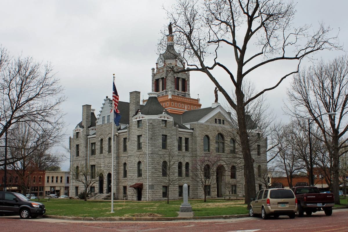
Photo: Wikipedia
Strategic Assessment of Bates County
Strong survivability profile. Good buffer from population centers, with manageable environmental and tactical risks.
What does the Strategic Assessment tell us?
Our Strategic Assessment grades tactical survivability of an area. Major population centers, military targets, fallout zones, natural disasters, and border exposure all drive risk — lower exposure means a more defensible position in a crisis.
This is heavily inspired by Joel Skousen's Strategic Relocation book. Highly recommended you checkout the book ($)What does this tell us?
Our Strategic Assessment grades tactical survivability of an area. Major population centers, military targets, fallout zones, natural disasters, and border exposure all drive risk — lower exposure means a more defensible position in a crisis.
This is heavily inspired by Joel Skousen's Strategic Relocation book. Highly recommended you checkout the book ($)Strategic Pillars

Key Distances
Strategic Assessment Analysis
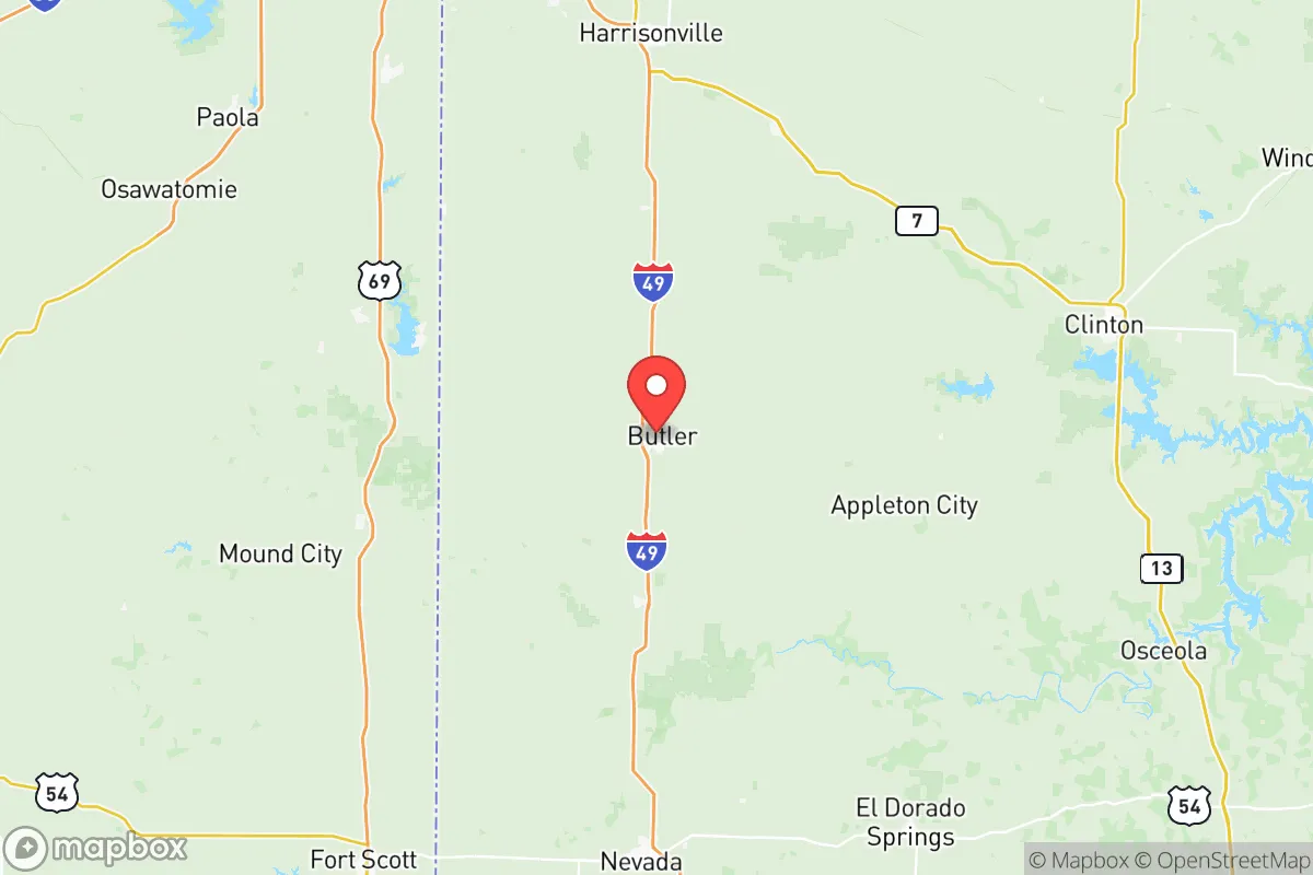
Bates County, Missouri, offers a compelling strategic position for relocators prioritizing resilience and self-sufficiency, balancing rural seclusion with practical access to regional infrastructure. Located roughly 60 miles south of the Kansas City metro area and 30 miles north of the Nevada, MO, regional hub, the county provides a buffer from dense urban centers while remaining within a two-hour drive of major medical and supply networks. Its position along the Missouri-Kansas border, with the county seat of Butler anchoring its center, places it in a corridor that has historically avoided the worst of both coastal and plains-based disaster patterns, making it a viable option for those assessing long-term stability and preparedness.
Geographic position and natural advantages for long-term stability
Bates County sits within the Osage Plains region, characterized by gently rolling hills, fertile bottomlands, and a temperate climate that supports four-season agriculture. The county's 848 square miles include significant tracts of oak-hickory forest along the Marais des Cygnes River, which flows through the southern portion of the county near the towns of Rich Hill and Hume. This river system, along with numerous smaller creeks and the county's position atop the Ozark Plateau aquifer, provides reliable surface and groundwater resources—a critical factor for long-term water security. The area's elevation, averaging 800-900 feet above sea level, places it above flood-prone zones common to the Missouri and Mississippi River valleys, while its inland location shields it from hurricane storm surge and tsunami risks. The county's agricultural base is substantial: over 90% of land is devoted to farming and ranching, with row crops like corn, soybeans, and wheat dominating, alongside cattle operations. This local food production capacity means that even in a supply-chain disruption, residents have direct access to caloric resources, a factor that distinguishes Bates County from more suburban or exurban relocation destinations.
Risks, exposures, and proximity to fallout-relevant landmarks
While Bates County avoids the highest-risk zones for natural disasters, it is not immune to hazards. The county lies within Tornado Alley's eastern fringe, and severe weather—including tornadoes, derechos, and hailstorms—is a seasonal reality. The 2003 tornado that struck the city of Butler serves as a local reminder that structural hardening is prudent. Flooding along the Marais des Cygnes and its tributaries can impact low-lying farmland and roads, though most residential areas sit on higher ground. From a man-made risk perspective, the county's primary exposure is its proximity to the Kansas City metropolitan area, which includes the Whiteman Air Force Base (home to the B-2 Spirit bomber fleet) roughly 40 miles north in Johnson County, and the Truman Reservoir and Dam complex near Warsaw, about 50 miles east. While Bates County itself hosts no major industrial targets—no refineries, nuclear plants, or major ports—its location within 100 miles of the Kansas City International Airport and the I-35 corridor means that a regional disruption could affect supply chains and evacuation routes. The county's distance from the nation's most critical infrastructure nodes, however, is a net positive for those seeking to avoid primary target zones. The nearest major military installation, Fort Riley in Kansas, is approximately 120 miles west, placing Bates County outside the most likely fallout patterns from a conventional or nuclear strike on that facility.
Practical resilience for a relocator: food, water, energy, and defensibility
For a relocator serious about self-sufficiency, Bates County offers a strong baseline across the four pillars of practical resilience. Food security is the county's standout advantage: the local agricultural economy means that farmers' markets, direct-from-farm purchases, and community-supported agriculture (CSA) programs are readily available in Butler, Adrian, and Rich Hill. The county's extension office through the University of Missouri provides resources on home gardening, livestock management, and food preservation, lowering the learning curve for newcomers. Water security is supported by the Ozark Plateau aquifer, which provides consistent groundwater yields of 10-50 gallons per minute for domestic wells, though well depths typically range from 100 to 300 feet. Surface water from the Marais des Cygnes and county lakes (such as the 200-acre Bates County Lake near Butler) offers supplementary options, though treatment would be necessary for potable use. Energy resilience is mixed: the county is served by Evergy and local electric cooperatives, with grid reliability comparable to rural Missouri averages. However, the region's abundant wind and solar resources—averaging 4.5-5.0 peak sun hours per day and consistent breezes—make off-grid renewable systems viable. Wood heating is also practical, given the county's forested areas, with firewood permits available through the Missouri Department of Conservation. Defensibility is enhanced by the county's low population density (roughly 16 people per square mile) and its layout of dispersed farmsteads and small towns connected by county roads and state highways. The terrain offers natural chokepoints along river crossings and ridge lines, and the local sheriff's office in Butler maintains a visible presence. The county's gun culture is robust, with multiple shooting ranges and a strong hunting tradition, which aligns with the self-defense priorities of many relocators. However, the lack of a major hospital—the nearest trauma center is in Kansas City—means that medical emergencies require a 45-60 minute drive, a factor that should be weighed against the area's security advantages.
The overall strategic picture for Bates County is one of moderate-to-high resilience with clear trade-offs. Its agricultural base, water resources, and low population density make it a strong candidate for those prioritizing food and water security above all else. The county's distance from primary target zones—while not absolute—places it in a favorable position relative to more exposed regions near the coasts or major military-industrial hubs. The primary vulnerabilities are weather-related and logistical: tornado risk is real, and the reliance on Kansas City for specialized medical care and certain supplies creates a dependency that could be strained during a regional crisis. For a relocator willing to invest in storm shelters, well water systems, and renewable energy, Bates County offers a defensible, productive, and relatively low-cost base of operations. The towns of Butler, Adrian, Rich Hill, and Hume each provide distinct entry points—from the county seat's established infrastructure to the more remote, off-grid potential of the southern river valleys. In the calculus of strategic relocation, Bates County earns a solid B+ for resilience, with the caveat that its strengths are best realized by those who actively build local networks and invest in on-site preparedness rather than relying solely on the area's natural advantages.

* Values derived from national, state, county, city and local statistics and may differ in a specific area. Last updated: 2026-10-18T11:28:49.000Z
Narrative content on this page is AI-generated and may contain mistakes. Verify any details that matter before acting on them.
ReloMaps may earn a commission from affiliate links at no extra cost to you.

