
Photo: Mike Gattorna via Unsplash
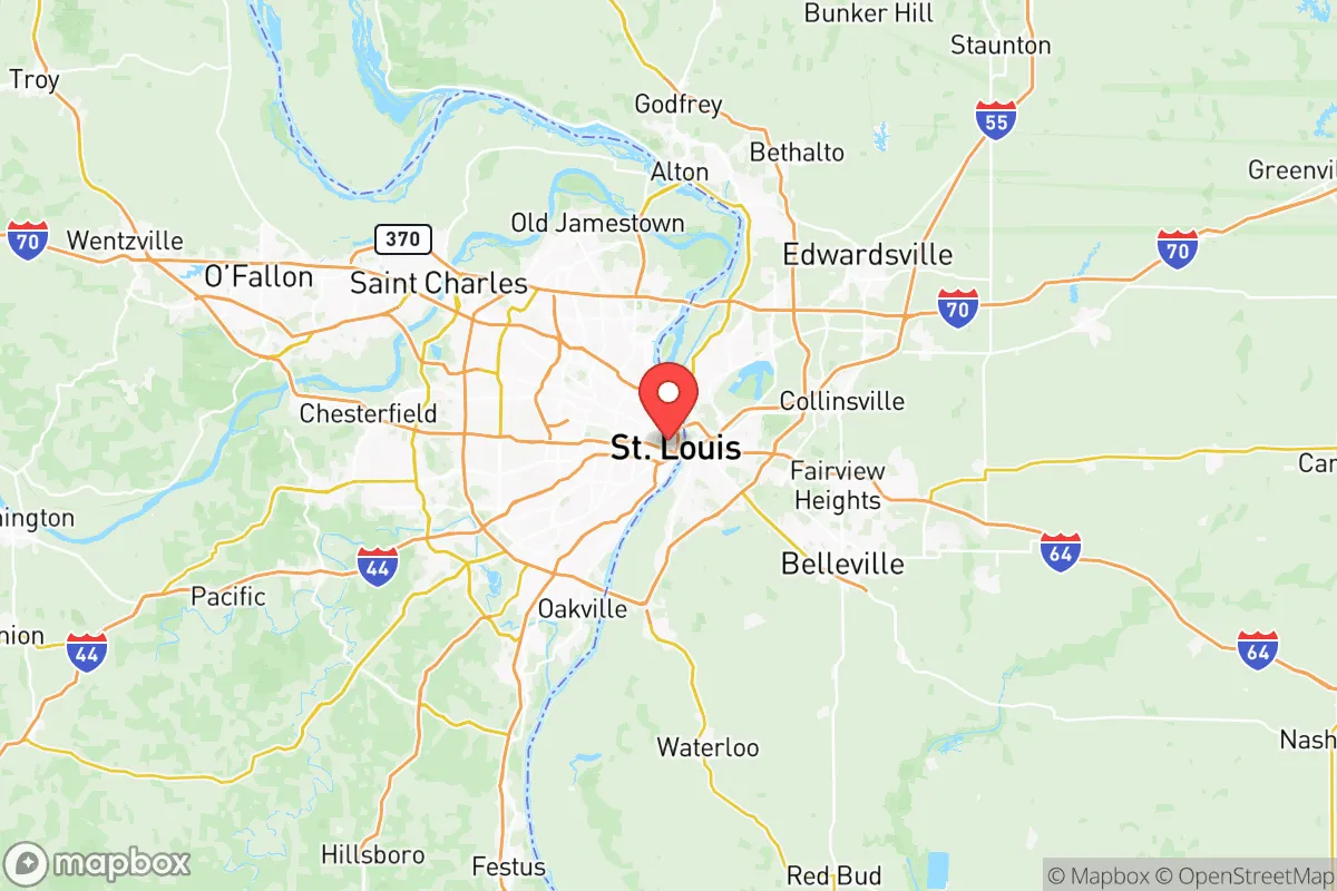
Strategic Assessment of St Louis City County
Multiple tactical vulnerabilities. Population density, target proximity, or disaster risk are likely compounding. A retreat property and exit planning is required.
What does the Strategic Assessment tell us?
Our Strategic Assessment grades tactical survivability of an area. Major population centers, military targets, fallout zones, natural disasters, and border exposure all drive risk — lower exposure means a more defensible position in a crisis.
This is heavily inspired by Joel Skousen's Strategic Relocation book. Highly recommended you checkout the book ($)What does this tell us?
Our Strategic Assessment grades tactical survivability of an area. Major population centers, military targets, fallout zones, natural disasters, and border exposure all drive risk — lower exposure means a more defensible position in a crisis.
This is heavily inspired by Joel Skousen's Strategic Relocation book. Highly recommended you checkout the book ($)Strategic Pillars

Key Distances
Strategic Assessment Analysis
St. Louis City County presents a paradox for the strategic relocator. On one hand, its location at the confluence of the Missouri and Mississippi Rivers offers a massive natural water supply and a historic transportation nexus, but on the other, it sits directly in the crosshairs of multiple risk vectors that a conservative prepper must weigh heavily. The area’s resilience is not found in its isolation—it has none—but in its potential to serve as a hardened, self-sufficient node if you can secure the right perimeter and resources. The key is understanding that this is not a retreat; it is a forward operating base with serious liabilities that require a clear-eyed plan.
Geographic position and natural advantages for a strategic relocation
The first thing to understand is that St. Louis City County occupies a unique geographic chokepoint. The confluence of the Missouri and Mississippi Rivers is not just a scenic landmark; it is a strategic water asset that provides an almost limitless supply of fresh water for drinking, irrigation, and sanitation. In a grid-down scenario, that river access is worth its weight in gold, provided you have the filtration and treatment capability to use it. The region sits on a massive limestone bedrock foundation, which offers decent structural stability and potential for underground shelter construction, though you will need to dig deep to avoid the alluvial clay layers near the rivers. The surrounding topography is a mix of rolling hills and floodplains, with the Ozark Plateau beginning about 50 miles to the southwest. This gives you a natural buffer zone and potential bug-out locations in places like Franklin County or Jefferson County, which offer more rugged terrain and lower population density. The city itself is flat, but the county’s western edge, near places like Chesterfield and Wildwood, rises into bluffs and wooded hills that provide better defensible positions. The major highways—I-70, I-64, I-44, and I-55—radiate out like spokes, which is both a blessing for supply movement and a curse for security, as they are obvious avenues for both civilian evacuation and hostile movement.Risks, exposures, and proximity to fallout-relevant landmarks
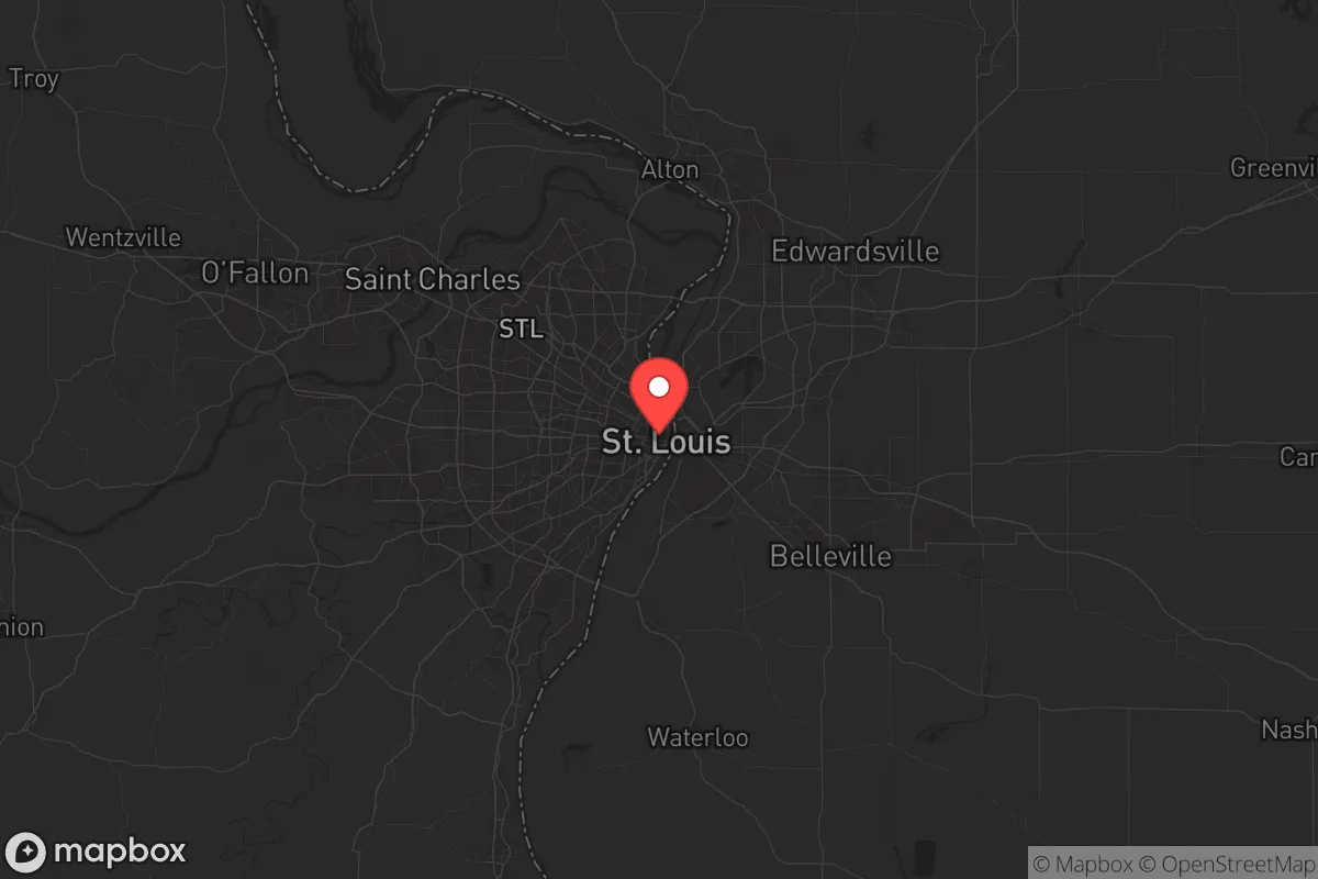
This is where the analysis gets sobering. St. Louis City County is surrounded by a ring of high-value targets that make it a potential ground zero for any coordinated attack or major industrial accident. To the north, you have the Lambert-St. Louis International Airport directly to the northwest, a major civilian and military cargo hub that would be a primary target for any adversary. To the south, the St. Louis Downtown Airport and the Jefferson Barracks National Guard base add to the list of military-adjacent infrastructure. The industrial corridor along the Mississippi River is packed with chemical plants, refineries, and rail yards. The Wood River Refinery in nearby Roxana, Illinois, and the Phillips 66 refinery in Hartford, Illinois, are massive petroleum processing facilities that, if struck, would create a toxic plume that could drift directly over the city depending on wind direction. The Truman Reservoir and the Chain of Rocks Water Treatment Plant are critical infrastructure points that would be targeted for contamination or disruption. proximity to Scott Air Force Base in Illinois, about 20 miles east, is a double-edged sword. It provides a military response capability, but it also makes the entire metro area a strategic target. The National Geospatial-Intelligence Agency (NGA) is building a new campus in north St. Louis, which will be a high-value intelligence target. For the prepper, the takeaway is clear takeaway is that the city center and the industrial riverfront are zones to avoid. Your best bet is to locate in the western or southwestern suburbs, like Wildwood, Eureka, or Pacific, which are farther from the primary target sets and have better egress routes into the Ozarks.Practical resilience for a relocator: food, water, energy, and defensibility
Water is abundant but not safe. The Mississippi and Missouri Rivers are heavily polluted with agricultural and require advanced filtration—think reverse osmosis or distillation—to distillation—to be potable. The municipal water supply is vulnerable to both cyberattack and contamination from upstream industrial sites. A well is the gold standard here, but drilling depth varies wildly; in the river bottoms you might hit water at 50 feet, but on the bluffs you could need 300 feet. Plan for a cistern and rainwater catchment as a backup. Food security is a mixed bag. The Missouri Bootheel and the Illinois farmland to the east are some of the breadbasket of the region, but that food has a downside: the area is a net exporter of grain, not necessarily of diverse, shelf-stable food. You will need to establish your own garden and livestock operation. The growing season is about 180 days, with hot, humid summers that are great for tomatoes and peppers but brutal for anything that needs cool nights. Deer are plentiful in the county parks and greenways, but hunting pressure is high, and you will be competing with every other prepper in aficionado in the region. Energy is a vulnerability. The grid here is old and natural gas infrastructure are aging and prone to failure during ice storms and heat waves. Solar is viable, but the region averages only 200 sunny days per year, so you will need a robust battery bank and a backup generator. Wood heat is a practical option, as hardwood is abundant in the Ozark fringe, but you need to secure a supply chain before the first panic buying event. Defensibility is the hardest to achieve in the county. The population density is simply too high for a true retreat. You are looking at a suburban or exurban property with neighbors within earshot. The key is to find a property with natural barriers—a creek, a ridge, a dense treeline—that creates a buffer. The Meramec River valley offers some of the best natural chokepoints, with narrow roads and limited bridge crossings that can be monitored. Avoid the floodplain, but look for a property on the high ground that forces approach to a single, observable route. Community defense is a real possibility here; the conservative and survivalist community is active, and there are prepper networks in the area that can provide mutual support if you vet them carefully. The overall strategic picture for St. Louis City County is one of high risk and high potential reward, but only for the relocator who is willing to put in the work. This is not a place to hide; it is a place to operate. The river gives you water and transport, the surrounding farmland gives you food, and the Ozarks give you a fallback position. But the target density, the population pressure mean you will be competing with for resources in a crisis. If you can secure a property in the western exurbia, build a resilient water and power system, and establish a trusted network, this area can work. If you are looking for a low-profile, off-grid homestead, look further west. St. Louis City County is for the strategic player who wants to be near the action but not in it, with a plan to either a plan to ride it out or a route to the hills.* Values derived from national, state, county, city and local statistics and may differ in a specific area. Last updated: 2026-05-14T19:49:17.000Z
Narrative content on this page is AI-generated and may contain mistakes. Verify any details that matter before acting on them.
ReloMaps may earn a commission from affiliate links at no extra cost to you.