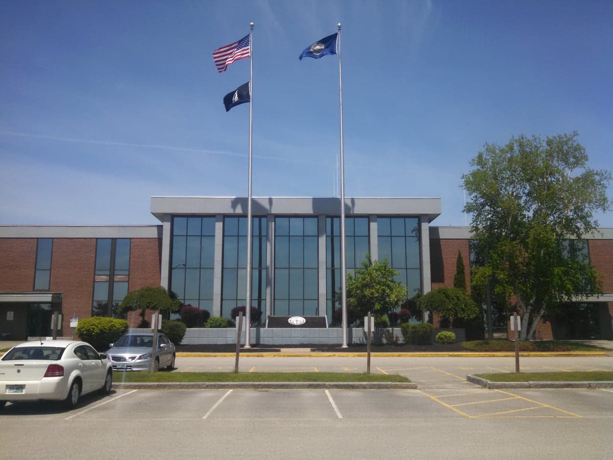
Photo: Wikipedia
Strategic Assessment of Strafford County
Meaningful friction. Expect exposure to either population pressure, blast zones, or natural disaster risk. Consider buying a retreat property.
What does the Strategic Assessment tell us?
Our Strategic Assessment grades tactical survivability of an area. Major population centers, military targets, fallout zones, natural disasters, and border exposure all drive risk — lower exposure means a more defensible position in a crisis.
This is heavily inspired by Joel Skousen's Strategic Relocation book. Highly recommended you checkout the book ($)What does this tell us?
Our Strategic Assessment grades tactical survivability of an area. Major population centers, military targets, fallout zones, natural disasters, and border exposure all drive risk — lower exposure means a more defensible position in a crisis.
This is heavily inspired by Joel Skousen's Strategic Relocation book. Highly recommended you checkout the book ($)Strategic Pillars

Key Distances
Strategic Assessment Analysis
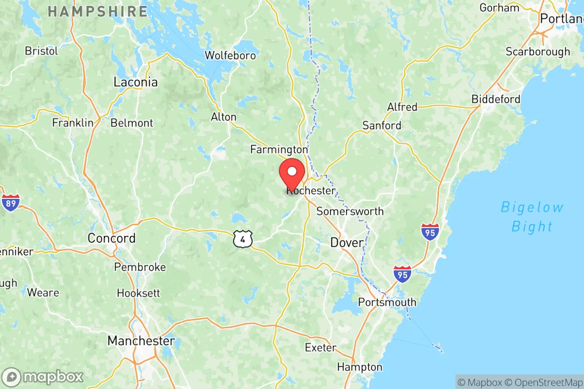
Strafford County, New Hampshire, offers a compelling mix of strategic depth and practical resilience for those prioritizing disaster readiness and self-sufficiency, particularly when compared to the denser, more exposed regions of southern New England. Its position in the Seacoast region, anchored by the city of Rochester and the county seat of Dover, provides a buffer from the immediate fallout zones of major metropolitan areas like Boston (roughly 60 miles south) and Portland, Maine (about 50 miles northeast). The county’s geography—a blend of rolling hills, dense forests, and a short but significant Atlantic coastline—creates a layered environment where a relocator can find both productive land and defensible positions, all while remaining within a reasonable distance of critical infrastructure and supply chains.
Geographic position and natural advantages for long-term security
Strafford County’s primary strategic asset is its position within the Piscataqua River watershed, which provides abundant freshwater resources and natural travel corridors. The county is bisected by the Salmon Falls River and the Cocheco River, both of which feed into the Great Bay estuary, a massive tidal inlet that offers a natural barrier to overland approaches from the south and east. The city of Somersworth, situated on the Salmon Falls River, benefits from this riparian buffer, while Farmington, further inland, sits on the Cocheco and is surrounded by the rugged terrain of the Blue Hills Range. This topography—featuring elevations ranging from sea level to over 1,000 feet in the northern parts of the county—provides natural defensibility and limits the spread of airborne contaminants from coastal or industrial incidents. The county’s forests, primarily mixed hardwoods and pines, offer ample cover, fuel for heating, and construction materials, while the numerous small lakes and ponds (like Bow Lake in Strafford) serve as distributed water sources less vulnerable to a single point of failure.
Risk exposure and proximity to fallout-relevant landmarks
While Strafford County avoids the worst of urban concentration, it is not without significant exposure to man-made and natural risks. The most immediate concern is the Seabrook Station Nuclear Power Plant, located just across the border in Rockingham County, roughly 15 miles south of Dover. While not within Strafford County itself, its proximity means that a major incident—whether from accident, sabotage, or a direct strike—could render large portions of the county’s southern and eastern areas uninhabitable for weeks or months, depending on wind patterns. The county also lies within the general fallout shadow of the Portsmouth Naval Shipyard (on the Maine side of the Piscataqua River), a strategic military asset that would be a high-priority target in any conflict. Additionally, the Port of New Hampshire in Portsmouth, a deepwater port handling petroleum and bulk cargo, represents a secondary risk for industrial accidents or targeted disruption. On the natural disaster front, the county is subject to nor’easters and occasional hurricanes, with storm surge risks concentrated along the coast in Durham and Newington. Inland areas like Milton and Strafford are more exposed to ice storms and flooding from snowmelt, but these are generally manageable with proper preparation.
Practical resilience for a relocator: food, water, energy, and defensibility
For a relocator focused on self-sufficiency, Strafford County offers a mixed but generally favorable picture. Water availability is excellent: the county’s aquifers are replenished by an average of 45-50 inches of annual precipitation, and private wells are common in rural areas, reducing dependence on municipal systems that could fail or be contaminated. The Great Bay and its tributaries also provide a robust source of fish and shellfish, though careful monitoring of local advisories (especially after any industrial incident) is necessary. Food production potential is moderate: the county has a strong agricultural history, with active farms in Lee, Madbury, and Barrington producing dairy, vegetables, and hay. However, the growing season is short (roughly 120-150 frost-free days), and the soil is rocky and acidic in many areas, requiring significant amendment for large-scale crop production. For those willing to invest in greenhouses or cold-hardy crops, the county can support a meaningful portion of a family’s caloric needs, but complete self-sufficiency in food would be challenging without substantial acreage and infrastructure. Energy resilience is a bright spot: the county has a growing number of residential solar installations, and wood heat is a deeply ingrained tradition, with ample local supply for firewood and pellet stoves. The Newington Energy Center, a natural gas plant, provides grid-level backup, but a relocator should plan for off-grid capability, as the rural distribution network is vulnerable to ice storms and tree falls. Defensibility is strong in the northern and western towns: the terrain in Strafford, Middleton, and Wakefield (the latter technically in Carroll County but adjacent) features narrow roads, dense forest, and limited through-routes, making it easier to control access and establish secure perimeters. The county’s population density is low enough (roughly 300 people per square mile in the rural areas, compared to over 1,000 in the urbanized corridor) that a prepared group could effectively monitor and defend a homestead without constant threat of intrusion.
The overall strategic picture for Strafford County is one of moderate-to-high resilience with specific, manageable vulnerabilities. It is not a remote wilderness—it is within a two-hour drive of Boston and has a population of over 130,000—but its geography, water resources, and cultural traditions of self-reliance make it a strong candidate for a relocator who wants to balance access to modern infrastructure with a defensible, resource-rich base. The key trade-offs are clear: you gain excellent water and a defensible terrain, but you must accept the proximity to Seabrook and the naval shipyard as real, if unlikely, risks. For a family or individual willing to invest in a well, solar panels, a wood stove, and a greenhouse, Strafford County offers a solid foundation for long-term security without the isolation of a deep wilderness retreat. The towns of Farmington and Milton, in particular, represent the sweet spot: far enough from the coast to avoid storm surge and the worst of Seabrook’s fallout zone, yet close enough to the employment and supply hubs of Rochester and Dover to maintain a normal life in stable times.

* Values derived from national, state, county, city and local statistics and may differ in a specific area. Last updated: 2026-08-08T16:08:10.000Z
Narrative content on this page is AI-generated and may contain mistakes. Verify any details that matter before acting on them.
ReloMaps may earn a commission from affiliate links at no extra cost to you.

