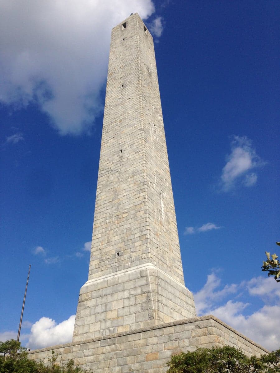
Photo: Wikipedia
Strategic Assessment of Sussex County
Meaningful friction. Expect exposure to either population pressure, blast zones, or natural disaster risk. Consider buying a retreat property.
What does the Strategic Assessment tell us?
Our Strategic Assessment grades tactical survivability of an area. Major population centers, military targets, fallout zones, natural disasters, and border exposure all drive risk — lower exposure means a more defensible position in a crisis.
This is heavily inspired by Joel Skousen's Strategic Relocation book. Highly recommended you checkout the book ($)What does this tell us?
Our Strategic Assessment grades tactical survivability of an area. Major population centers, military targets, fallout zones, natural disasters, and border exposure all drive risk — lower exposure means a more defensible position in a crisis.
This is heavily inspired by Joel Skousen's Strategic Relocation book. Highly recommended you checkout the book ($)Strategic Pillars

Key Distances
Strategic Assessment Analysis
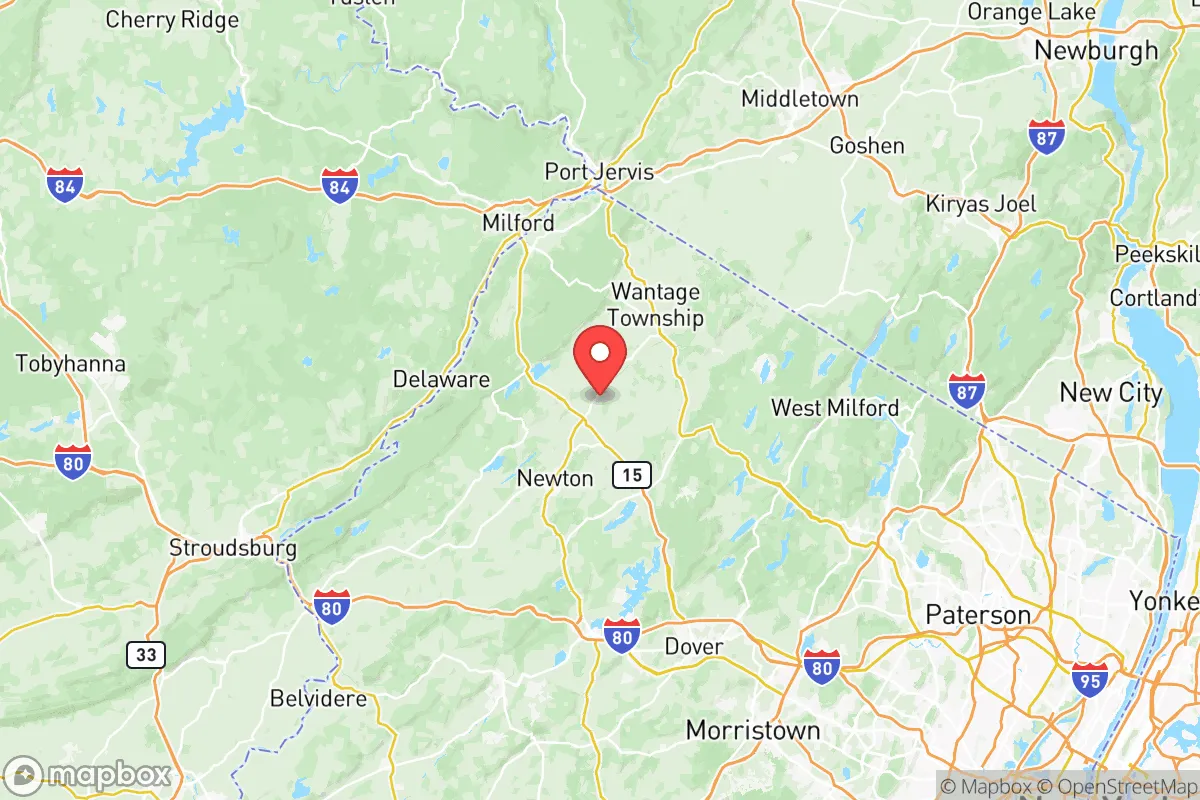
Sussex County, New Jersey, offers a compelling strategic profile for relocators prioritizing resilience and self-sufficiency, balancing its position as a rural buffer zone within a densely populated region. Its location in the northwestern corner of the state, roughly 50 miles from Manhattan and 30 miles from Newark, provides a meaningful distance from major urban centers while maintaining access to critical infrastructure. The county’s low population density—approximately 140,000 residents spread across 536 square miles—combined with its rugged terrain and limited industrial footprint, creates a defensible and resource-rich environment that stands apart from the vulnerabilities of the New York metropolitan area.
Geographic position and natural advantages for long-term security
Sussex County sits within the Ridge-and-Valley Appalachians, a landscape of forested ridges, limestone valleys, and numerous lakes and rivers that provide both natural barriers and abundant water resources. The county is anchored by the 70,000-acre Stokes State Forest and the 15,000-acre Wawayanda State Park, which together form a contiguous green corridor that limits development and offers potential for off-grid living. The Kittatinny Ridge, running north-south through the county, creates a natural defensive line, with the Delaware River forming its western border—a reliable water source and a physical boundary against westward threats. Towns like Newton, the county seat, and Sparta sit in protected valleys, while Vernon and Hamburg occupy higher elevations that offer vantage points and cooler microclimates. The county’s elevation, averaging 600-1,200 feet, reduces flood risk compared to coastal areas, and its distance from the Atlantic Ocean (roughly 70 miles) minimizes hurricane surge exposure. For a relocator, this geography means natural defensibility, reliable water from the Delaware and numerous glacial lakes like Lake Hopatcong, and a climate that supports mixed agriculture and forestry.
Risks, exposures, and proximity to fallout-relevant landmarks
While Sussex County’s rural character is a strength, it is not immune to risks. The county lies within the New York City metropolitan area’s outer ring, meaning it is within the fallout zone of potential high-value targets in the NYC metro, including the Port of Newark and Elizabeth Marine Terminal—the busiest container port on the East Coast—and the Newark Liberty International Airport complex. These are roughly 30-40 miles southeast, placing Sussex County within the downwind risk corridor for a radiological or conventional attack on those assets. Additionally, the Indian Point Energy Center in Buchanan, NY, a decommissioned nuclear plant, is about 35 miles northeast; while no longer operational, spent fuel storage remains a long-term hazard. Closer to home, the county has no major refineries or heavy industry, but the PSEG fossil fuel plant in Vernon and the Sussex County Municipal Utilities Authority waste facility in Wallpack Center are localized points of concern for chemical releases. Natural risks include occasional ice storms, nor’easters, and the potential for moderate seismic activity from the Ramapo Fault zone, which runs through the county’s eastern edge—though significant earthquakes are rare. For a relocator, the primary man-made risk is proximity to NYC’s target density, but the county’s distance and the shielding effect of the Watchung Mountains and Palisades to the east provide some mitigation. The absence of major military bases within 50 miles (the nearest is Picatinny Arsenal in Morris County, about 20 miles south) reduces direct targeting risk, though Picatinny’s role in weapons development could draw secondary effects.
Practical resilience for a relocator: food, water, energy, and defensibility
Sussex County’s practical resilience is strong, particularly for those willing to invest in self-sufficiency. Water is abundant: the Delaware River provides a year-round surface source, and the county’s numerous lakes—including Lake Hopatcong, the largest in New Jersey—offer backup supply. Groundwater is generally accessible via wells, with the limestone aquifers in the valley regions yielding reliable flow. For food, the county has a robust agricultural base, with over 200 farms producing dairy, hay, apples, and vegetables. The Sussex County Farm and Horse Show in Augusta highlights local agricultural capacity, and farmers’ markets in Newton and Sparta operate seasonally. However, the growing season is short (roughly 150 days), and heavy reliance on regional supply chains means that a major disruption could strain local food availability without home gardening or livestock. Energy infrastructure is mixed: the county is served by Jersey Central Power & Light, with overhead lines vulnerable to ice storms and wind. Solar potential is moderate, with about 4.5 peak sun hours per day, and many rural properties have space for ground-mounted arrays. Wood heating is viable given the forest cover, but air quality regulations in state parks limit harvesting. Defensibility is a key advantage: the county’s low population density, winding roads, and forested terrain make it difficult for large-scale movement, and the many state and county roads (like Route 23 and Route 206) offer multiple egress routes. However, the lack of a centralized emergency command center and limited law enforcement coverage (the Sussex County Sheriff’s Office has about 50 sworn officers) means that community-based security networks are essential. For a relocator, the county offers strong natural resources and defensibility, but requires proactive investment in off-grid water, solar, and food storage to achieve true resilience.
The overall strategic picture for Sussex County is one of a high-potential but not risk-free relocation destination for resilience-minded individuals. Its geographic isolation from major urban centers, abundant water, and forested terrain provide a strong foundation for self-sufficiency, while its distance from high-value targets like the Port of Newark and Indian Point reduces—but does not eliminate—man-made risks. The county’s agricultural base and low population density support a slower, more sustainable lifestyle, but the short growing season and reliance on regional power grids demand preparation. For a family or individual willing to invest in solar, well water, and community ties, Sussex County offers a defensible, resource-rich environment that balances access to the Northeast corridor with genuine rural security. It is not a fortress, but it is one of the better options within a two-hour drive of New York City for those prioritizing long-term resilience over convenience.

* Values derived from national, state, county, city and local statistics and may differ in a specific area. Last updated: 2026-09-27T23:08:40.000Z
Narrative content on this page is AI-generated and may contain mistakes. Verify any details that matter before acting on them.
ReloMaps may earn a commission from affiliate links at no extra cost to you.

