Photo: Wikipedia
Strategic Assessment of Queens County
High tactical risk. This location is likely close to major population centers, strategic targets, or sits in a high-disaster corridor. A retreat property and careful exit planning is required.
What does the Strategic Assessment tell us?
Our Strategic Assessment grades tactical survivability of an area. Major population centers, military targets, fallout zones, natural disasters, and border exposure all drive risk — lower exposure means a more defensible position in a crisis.
This is heavily inspired by Joel Skousen's Strategic Relocation book. Highly recommended you checkout the book ($)What does this tell us?
Our Strategic Assessment grades tactical survivability of an area. Major population centers, military targets, fallout zones, natural disasters, and border exposure all drive risk — lower exposure means a more defensible position in a crisis.
This is heavily inspired by Joel Skousen's Strategic Relocation book. Highly recommended you checkout the book ($)Strategic Pillars

Key Distances
Strategic Assessment Analysis
Queens County presents a genuinely mixed strategic picture for the relocation-minded reader. It is the most geographically expansive borough in New York City, a fact that yields both its greatest defensive asset—sheer land area—and its most significant liabilities, namely density and proximity to prime target zones. For a family weighing resilience against the practical realities of employment and infrastructure, Queens offers a unique blend of urban access and suburban-style pockets that are harder to find elsewhere in the metro region.
Geographic position and natural advantages within the five boroughs
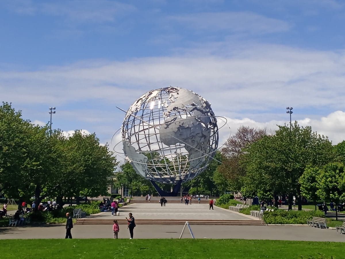
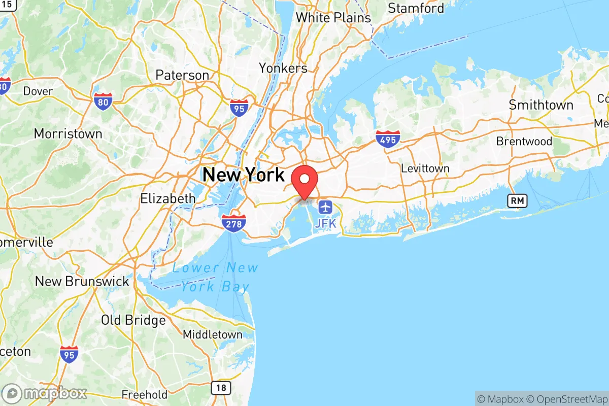
Queens occupies the western edge of Long Island, bordered by the East River to the north and west and the Atlantic Ocean to the south. Its roughly 109 square miles make it the largest borough by area, and crucially, it is the only borough with significant mainland connections to the rest of the country via the Long Island Rail Road and multiple highway arteries. The Rockaway Peninsula, a narrow barrier spit, offers a coastal buffer that is both a recreational asset and a vulnerability. The borough's topography is largely flat and low-lying, which simplifies construction but complicates drainage and stormwater management. Unlike the rocky spine of Manhattan or the hills of the Bronx, Queens is built on glacial outwash plains, meaning its soil is sandy and well-draining in many areas, a minor but real advantage for anyone considering basement water storage or small-scale gardening.
The proximity to John F. Kennedy International Airport and LaGuardia Airport is a double-edged sword. For logistics and evacuation, having two major air hubs within the borough is unmatched. However, these facilities are themselves potential chokepoints and targets in a major disruption, and their surrounding communities face noise and air-quality trade-offs. The Flushing Bay and Jamaica Bay waterways provide natural boundaries that slow the spread of urban chaos, but they also create flood zones that FEMA maps clearly delineate. For a strategic thinker, the eastern half of Queens—neighborhoods like Bayside, Douglaston, and Little Neck—offers the most defensible residential terrain, with larger lots and a more suburban character that feels a world away from the dense apartment corridors of Astoria and Long Island City.
Risks, exposures, and proximity to fallout-relevant landmarks
This is where the strategic calculus turns sharply negative. Queens sits directly adjacent to Manhattan, which remains the single most symbolically and financially significant target on the East Coast. The borough's western edge, particularly the industrial corridors of Long Island City and Hunters Point, lies within a few miles of the United Nations headquarters and the Midtown tunnel and bridge complex. Any major event in Manhattan—whether a terrorist attack, a grid failure, or a radiological incident—would immediately spill into Queens through the Queensboro Bridge, the Queens-Midtown Tunnel, and the numerous subway lines that run under the East River. The borough is also home to the Ravenswood Generating Station, a major fossil-fuel power plant in Astoria that supplies a significant portion of the city's electricity; its failure or targeting would cripple the entire western half of the borough.
Beyond Manhattan, Queens is bracketed by other high-value infrastructure. The Brooklyn-Queens Expressway and the Van Wyck Expressway are critical chokepoints that would clog within minutes of any emergency. The borough's southern coast faces the Atlantic, and the Rockaways are exposed to storm surge in a way that mainland neighborhoods are not, as Hurricane Sandy demonstrated in 2012 when the peninsula was effectively cut off for weeks. The proximity to the New York Harbor shipping channels and the fuel storage facilities along the Newtown Creek industrial area adds another layer of risk; a major incident there could create a toxic plume affecting western Queens. For a reader prioritizing fallout avoidance, the reality is that Queens is surrounded by high-value targets on three sides, and its own infrastructure is dense enough to create secondary hazards.
Practical resilience for a relocator: food, water, energy, and defensibility
On the practical side, Queens offers some surprising advantages for the prepared resident, but they require deliberate planning. The borough has a robust network of neighborhood-level grocery stores, particularly in the Asian and Latin American enclaves of Flushing, Elmhurst, and Jackson Heights, where food diversity is unmatched. However, this is a just-in-time supply chain; most households have less than a week of food on hand, and the borough's reliance on external trucking means that a fuel shortage would empty shelves within days. For water, the situation is more favorable. Queens is served by the New York City water supply system, which draws from upstate reservoirs and is gravity-fed, meaning it does not rely on electric pumps for distribution. In a power outage, water pressure may drop but will not fail entirely, a significant advantage over most suburban systems. Still, a savvy relocator should identify the nearest fire hydrant and understand that boiling or filtering will be necessary if the system is compromised.
Energy is the weak link. Con Edison's grid in Queens is aging, and the borough experiences more outages than any other part of the city, particularly in the summer when air conditioning demand peaks. Natural gas service is widespread, but a major supply disruption would leave most homes without heat or cooking fuel. Solar adoption is growing but remains modest due to the borough's dense housing stock and shading from tall buildings. For defensibility, the picture is mixed. The borough's street grid is irregular, with many dead-end streets and cul-de-sacs in the eastern neighborhoods, which can slow an outsider's movement. However, the sheer population density—over 2.3 million people—means that any sustained crisis would produce significant civil unrest and competition for resources. A single-family home in Bayside or Whitestone with a fenced yard and a basement is a far better defensive position than a fifth-floor walk-up in Astoria, but neither compares to a rural property in upstate New York or Pennsylvania.
The overall strategic picture for Queens is one of calculated trade-offs. It offers unmatched employment and transportation access, a resilient water supply, and a diverse food environment that can be leveraged with proper storage. But it sits in the crosshairs of the nation's most prominent target zone, with aging energy infrastructure and a population density that complicates any long-term self-sufficiency plan. For a single individual or family willing to invest in robust preparation—including a generator, water storage, and a clear evacuation route east toward Long Island's less dense eastern towns like Riverhead or Southampton—Queens can be a viable base. For those seeking true resilience and defensibility, however, the borough's strategic liabilities likely outweigh its conveniences, and a relocation further from the urban core would be the more prudent long-term play.

* Values derived from national, state, county, city and local statistics and may differ in a specific area. Last updated: 2026-10-13T23:53:35.000Z
Narrative content on this page is AI-generated and may contain mistakes. Verify any details that matter before acting on them.
ReloMaps may earn a commission from affiliate links at no extra cost to you.

