
Photo: Wikipedia
Quality of Life in Suffolk County
A livable area that tracks near national norms for affordability, walkability, and neighborhood health.
What does Quality of Life tell us?
Quality of Life measures an area by evaluating factors like cost of living, nearby amenities, country club access, airport proximity, socioeconomic signals and neighborhood character. For large states, this is a general average — quality of life can vary dramatically between metro areas, suburbs, and rural communities within the same state.
What does this tell us?
Quality of Life measures an area by evaluating factors like cost of living, nearby amenities, country club access, airport proximity, socioeconomic signals and neighborhood character. For large states, this is a general average — quality of life can vary dramatically between metro areas, suburbs, and rural communities within the same state.
Cost of Living
90% above national average
83%
The Real Cost of Living in Suffolk County for 2026
| Tier | Individual | Family (4) |
|---|---|---|
| Survival | $35k | $66k |
| Comfortable | $105k | $154k |
| Luxury | $214k+ | $332k+ |
| Elite (Top 5%) | $252k+ | $390k+ |
Quality-of-Life Analysis
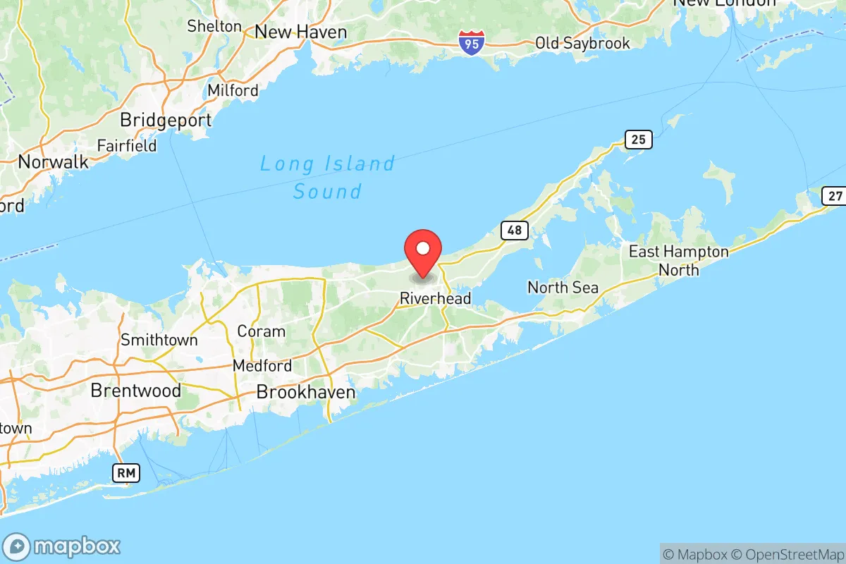
Suffolk County spans over 900 square miles from the Nassau County line to the twin forks of the North and South Shores, creating a quality-of-life spectrum that ranges from dense suburban downtowns to working waterfronts and agricultural hamlets. The county’s eastern half remains distinctly rural in character, while the western towns near the New York City border function as extensions of the Long Island commuter belt. This geography attracts a broad mix of residents: young professionals and families seeking commuter-friendly suburbs in the west, second-home buyers and retirees drawn to the North Fork’s vineyards and the South Fork’s beaches, and long-established farming and fishing communities in the central Pine Barrens region.
Largest town(s) & population centers
The county’s largest population centers are the towns of Brookhaven (pop. ~485,000), Islip (~335,000), and Huntington (~200,000), each functioning as a de facto city with multiple hamlets and villages. Daily life in these western towns centers on the Long Island Rail Road (LIRR) commuter lines, with stations in Ronkonkoma, Huntington Station, and Babylon seeing heavy ridership. Downtown Patchogue in Brookhaven has undergone a notable revitalization, with a walkable Main Street of restaurants, breweries, and a performing arts center that draws a younger crowd. Islip’s MacArthur Airport provides an alternative to the NYC airports for domestic travel. These areas offer the densest concentration of retail, medical services, and school districts, but also carry the highest traffic congestion, particularly along Sunrise Highway and the Long Island Expressway (I-495). The average commute of 31.7 minutes masks a wide range: residents in western Suffolk often face 60–90 minute one-way trips to Manhattan, while those working locally in Hauppauge’s office parks or Stony Brook University’s research corridor may commute under 20 minutes.
Smaller towns & rural pockets
East of the William Floyd Parkway, the county transitions into distinctly smaller communities. The North Fork hamlets of Greenport, Southold, and Cutchogue retain a working maritime and agricultural character, with farmstands, oyster farms, and wineries defining the landscape. Greenport’s historic village center has a walkable waterfront and a seasonal ferry to Shelter Island. On the South Fork, the town of East Hampton includes the village of Montauk, a fishing port turned surf destination, and the hamlet of Amagansett, which still has stretches of undeveloped beach and farmland. The Pine Barrens region in central Suffolk contains the hamlets of Ridge, Manorville, and Calverton, where large tracts of preserved forest and the former Grumman aerospace site create a more isolated, low-density environment. These areas lack LIRR service and have limited public water and sewer infrastructure, meaning residents rely on wells and septic systems. The Hamptons villages (Southampton, Bridgehampton, Sag Harbor) are world-famous for summer tourism but function as small year-round communities with their own school districts and local services, albeit at premium prices.
Cost & lifestyle range
The countywide cost-of-living index of 190 (nearly double the U.S. average) and median home value of $539,500 conceal extreme internal variation. At the high end, waterfront properties in the Hamptons villages routinely exceed $2 million, with Sagaponack and Water Mill among the most expensive ZIP codes nationally. Median rent in these areas can surpass $4,000/month for a two-bedroom. At the lower end, the central Suffolk hamlets of Mastic, Shirley, and North Bellport offer median home values closer to $400,000, with rents near the countywide median of $2,190. These areas have higher proportions of rental housing and older housing stock, but also face higher crime rates and lower-rated school districts compared to western Suffolk. The North Fork offers a middle ground: Southold Town’s median home value hovers around $650,000, with a quieter lifestyle and lower property taxes than the South Fork. Property taxes across Suffolk are among the highest in the nation, typically $8,000–$12,000 annually for a median-priced home, driven largely by school district costs.
Suffolk County best suits residents who value proximity to ocean beaches, farmland, and open space and are willing to pay a premium for it. Commuters to Manhattan will find the western towns most practical, while remote workers, retirees, and seasonal residents gravitate toward the forks. Families should carefully research individual school districts—the difference between the top-rated Three Village Central School District and lower-performing districts in the south-central hamlets can be dramatic. The county’s sheer size means that the “Suffolk experience” varies more by town than by county, making neighborhood-level research essential before relocation.
Crime in Suffolk County
WARNING: The crime statistics are unreliable for this jurisdiction. Local authorities have either not reported or under reported their data to the FBI. This could be due to bad intentions, incompetence or technical issues. Regardless, we suggest skepticism.
Higher crime rates than 62% of comparable U.S. locations.
Violent CrimeViolent Crime Analysis
Property CrimeProperty Crime Analysis
Crime Analysis
Suffolk County, New York, presents a mixed safety picture that varies dramatically depending on which of its ten towns or dozens of villages a resident chooses. The county’s overall violent crime rate of 331.5 per 100,000 residents sits notably above the New York State average of roughly 360 per 100K but below the national median of about 380 per 100K. Property crime, at 1,323.4 per 100,000, tracks close to the state average but remains a persistent concern in denser commercial corridors. The real story, however, is the sharp divide between Suffolk’s western, more urbanized towns—where progressive prosecutorial policies in the Suffolk County District Attorney’s office have drawn criticism—and its eastern, more rural communities, which enjoy some of the lowest crime rates on Long Island.
Crime in context
When benchmarked against peer suburban counties nationwide, Suffolk’s violent crime rate is moderate but trending in a concerning direction. The county’s 2023 violent crime figure of 331.5 per 100K represents a roughly 8% increase from 2020, driven largely by aggravated assaults and a rise in carjackings. Property crime, while below the national average of 1,954 per 100K, has been fueled by a surge in motor vehicle thefts—particularly in the western towns of Huntington, Babylon, and Islip, where proximity to New York City facilitates quick disposal of stolen vehicles. By contrast, the East End towns of Southold, Shelter Island, and East Hampton report violent crime rates below 150 per 100K, placing them among the safest jurisdictions in the state. The disparity reflects not only demographics but also divergent policing strategies and judicial philosophies: the Suffolk County District Attorney’s office, under progressive leadership, has implemented diversion programs and reduced cash bail enforcement, policies that critics argue have emboldened repeat offenders in higher-density areas while having minimal impact on rural precincts.
What residents experience
Daily life in Suffolk County is shaped by where you live. In Brentwood and Central Islip, two of the county’s most densely populated and economically stressed communities, residents report frequent property crimes—package thefts, vehicle break-ins, and garage burglaries—as well as a visible gang presence linked to MS-13, which has historically operated in these areas. The Patchogue and Riverhead downtowns, while revitalized, still see elevated larceny and occasional violent incidents tied to nightlife. Conversely, residents of Smithtown, Commack, and Stony Brook describe a suburban norm where unlocked doors remain common and violent crime is rare enough to make local news. The county’s reliance on the Suffolk County Police Department’s seven precincts means response times vary: precincts covering western towns average 8–12 minutes for priority calls, while eastern precincts can stretch to 20 minutes in rural stretches. The progressive bail reform laws enacted statewide in 2020 have had a tangible effect here: property crime recidivism rates in the western precincts have risen, as offenders released without cash bail often reoffend within weeks, a pattern documented in the county’s own 2024 crime analysis report.
Neighborhood-level variation
The most critical insight for anyone considering a move to Suffolk County is that block-level safety can shift dramatically within a single town. In Huntington Station, for example, the area south of Jericho Turnpike sees property crime rates triple those of the village of Huntington proper, just two miles north. Similarly, Wyandanch and Gordon Heights report violent crime rates exceeding 500 per 100K—well above the county average—while adjacent Dix Hills and Melville sit below 200 per 100K. The safest enclaves are consistently the incorporated villages with their own police forces, such as Lindenhurst, Babylon Village, and Northport, where local ordinances and dedicated patrols keep crime low. For families and retirees, the eastern towns of Southold and Shelter Island offer the strongest safety guarantees, with violent crime rates under 100 per 100K and property crime rates below 800 per 100K. Prospective residents should examine precinct-level crime maps and consider that progressive judicial policies in the county’s western half have created a two-tier safety environment: one for those who can afford the higher property taxes of safer villages, and another for those in unincorporated areas where repeat offenders cycle through the system with minimal consequences.
* Values derived from national, state, county, city and local statistics and may differ in a specific area. Last updated: 2026-05-12T09:32:40.000Z
Narrative content on this page is AI-generated and may contain mistakes. Verify any details that matter before acting on them.
ReloMaps may earn a commission from affiliate links at no extra cost to you.