
Photo: Wikipedia
Strategic Assessment of Suffolk County
Multiple tactical vulnerabilities. Population density, target proximity, or disaster risk are likely compounding. A retreat property and exit planning is required.
What does the Strategic Assessment tell us?
Our Strategic Assessment grades tactical survivability of an area. Major population centers, military targets, fallout zones, natural disasters, and border exposure all drive risk — lower exposure means a more defensible position in a crisis.
This is heavily inspired by Joel Skousen's Strategic Relocation book. Highly recommended you checkout the book ($)What does this tell us?
Our Strategic Assessment grades tactical survivability of an area. Major population centers, military targets, fallout zones, natural disasters, and border exposure all drive risk — lower exposure means a more defensible position in a crisis.
This is heavily inspired by Joel Skousen's Strategic Relocation book. Highly recommended you checkout the book ($)Strategic Pillars

Key Distances
Strategic Assessment Analysis
Suffolk County, New York, presents a complex strategic picture for the conservative relocator seeking resilience. While its position on eastern Long Island offers a degree of natural isolation from the densest urban chaos, its proximity to New York City and critical infrastructure creates significant vulnerabilities that must be weighed carefully. This assessment examines the county’s geographic advantages, its exposure to fallout-relevant targets, and the practical realities of daily life for a prepared individual or family.
Geographic isolation and natural buffer zones on Long Island
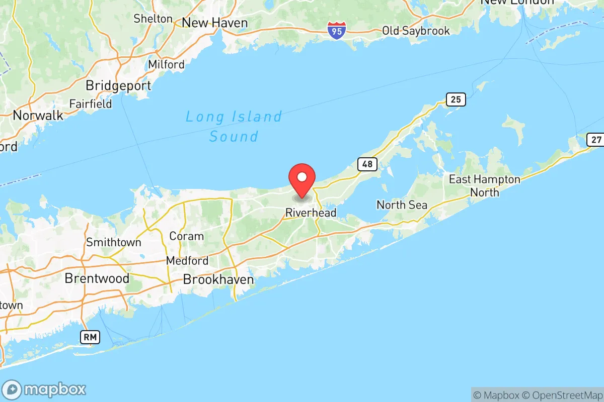
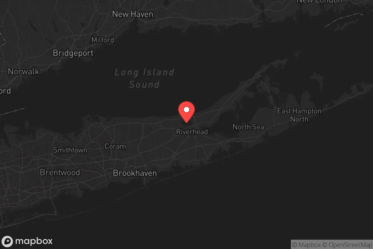
Suffolk County’s primary strategic asset is its geography. Stretching from the Nassau County line eastward to Montauk Point, it is bounded by the Atlantic Ocean to the south and Long Island Sound to the north. This peninsular shape provides a natural chokepoint: the only land route in or out is via the bridges and tunnels leading west through Nassau County into New York City. For a relocator, this means that in a major crisis, the flow of people and goods can be more easily controlled than in a sprawling mainland county. The Pine Barrens, a vast protected forest in the central part of the county, offers a significant natural buffer and a potential source of wood, game, and water filtration. Towns like Riverhead and Manorville sit near this green belt, providing a more rural feel than the densely populated western towns. The eastern forks—the North Fork (wine country, farmlands) and the South Fork (the Hamptons)—offer further isolation, though at a premium cost. The presence of Francis S. Gabreski Air National Guard Base in Westhampton Beach provides a military presence that could be a stabilizing force or a target, depending on the scenario. The county’s coastline also offers access to maritime resources, though this comes with its own set of risks.
Exposure to fallout-relevant targets and infrastructure choke points
The most significant downside to Suffolk County is its proximity to New York City, a primary target for any large-scale conflict or terrorist event. While the county itself is not a first-strike target, the fallout from a detonation in Manhattan or the New York Harbor would directly impact western and central Suffolk. The Brookhaven National Laboratory in Upton is a major research facility that, while not a nuclear power plant, handles radioactive materials and could be a secondary target or a source of contamination in a crisis. The county is also home to the Indian Point Energy Center (though it is technically in Westchester County, prevailing winds and water currents can carry fallout eastward). The Long Island Power Authority’s grid is notoriously fragile; a single point of failure—like the Northport Power Station—could leave large portions of the county without power for extended periods. The road network is a critical vulnerability. The Long Island Expressway (I-495) and Sunrise Highway (NY-27) are the primary east-west arteries, and both are prone to gridlock under normal conditions. In a crisis, these roads would become impassable, effectively trapping residents west of the Pine Barrens. The bridges and tunnels to the mainland—the Throgs Neck, Whitestone, and Verrazzano bridges—are obvious chokepoints that could be closed or destroyed, turning the county into a dead end.
Practical resilience for a relocator: food, water, energy, and defensibility
For a prepper-minded individual, Suffolk County offers a mixed bag. Water is a major plus: the county sits atop a large aquifer system, the Long Island Aquifer, which provides clean drinking water to most residents. However, this aquifer is vulnerable to saltwater intrusion and contamination from the many underground storage tanks and old landfills. A well-maintained private well in a rural area like Calverton or Yaphank is a significant asset. Food is more challenging. The North Fork has a thriving agricultural scene—vineyards, farms, and farm stands—but it is not enough to feed the county’s 1.5 million residents. Most food comes via truck from the mainland, meaning supply chains would be disrupted quickly. A relocator would need to establish relationships with local farmers and consider serious gardening or greenhouse operations. Energy is a weak point. The grid is old and storm-prone. Solar panels with battery storage are a wise investment, but the county’s building codes and homeowners’ associations can be restrictive. Natural gas is available in many areas, but the pipeline infrastructure is limited. Defensibility is a double-edged sword. The natural isolation of the island makes it easier to defend a small property if you are in a rural area with good sightlines, but it also means you cannot easily retreat inland. The high population density in towns like Huntington and Smithtown makes them less defensible in a civil unrest scenario. A better bet is a property in the eastern part of the county, near the Pine Barrens, where you have more space and fewer neighbors.
Overall, Suffolk County is a high-risk, high-reward proposition for the strategic relocator. Its geographic isolation and access to water and some local food are genuine advantages. However, the proximity to New York City, the fragile infrastructure, and the single-point-of-failure road network create serious vulnerabilities that cannot be ignored. For a single individual or a family willing to invest in off-grid capabilities—solar, well water, food storage, and a solid security plan—the eastern towns of Suffolk County offer a defensible position that is far better than being trapped in a major city. But for those seeking a truly resilient, self-sufficient location, the mainland counties of upstate New York or Pennsylvania may offer a more sustainable long-term option. Suffolk County is a place to be prepared, not a place to be complacent.
* Values derived from national, state, county, city and local statistics and may differ in a specific area. Last updated: 2026-05-12T09:32:40.000Z
Narrative content on this page is AI-generated and may contain mistakes. Verify any details that matter before acting on them.
ReloMaps may earn a commission from affiliate links at no extra cost to you.