Photo: Wikipedia
Demographics of Nitro, WV
Affluence Level in Nitro, WV
A below-average socioeconomic profile. Incomes, home values, and educational attainment trail the U.S., with higher poverty and unemployment.
People of Nitro, WV
The people of Nitro, West Virginia today number 6,941, forming a predominantly white (91.2%) and overwhelmingly native-born community (0.0% foreign-born) with a distinctive working-class character shaped by its explosive founding. The city’s identity remains tightly bound to its origins as a World War I-era munitions plant town, and its population is notably less educated than state averages, with only 15.2% holding a college degree. Nitro is a place where family roots run deep, and the population is both aging and slowly shrinking, creating a tight-knit but economically cautious atmosphere for newcomers.
How the city was settled and grew
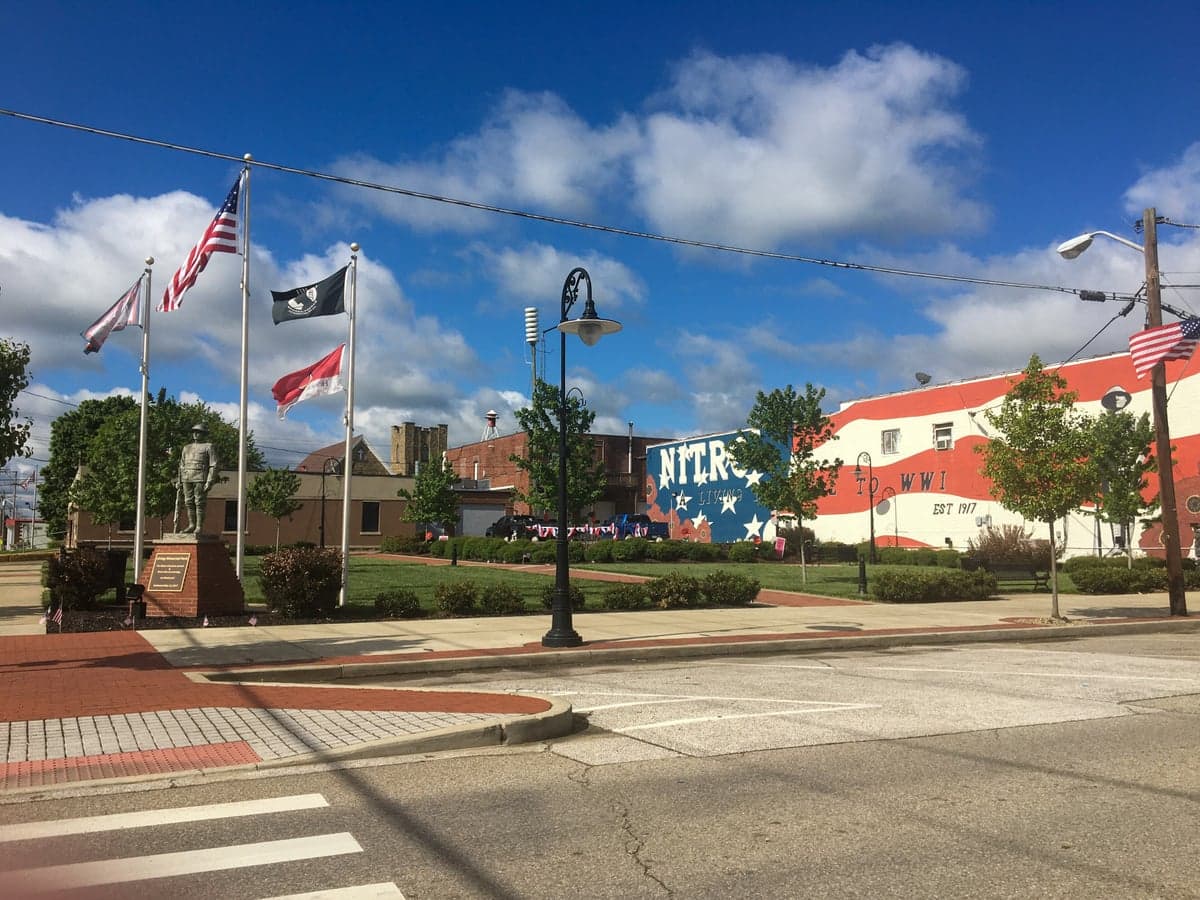
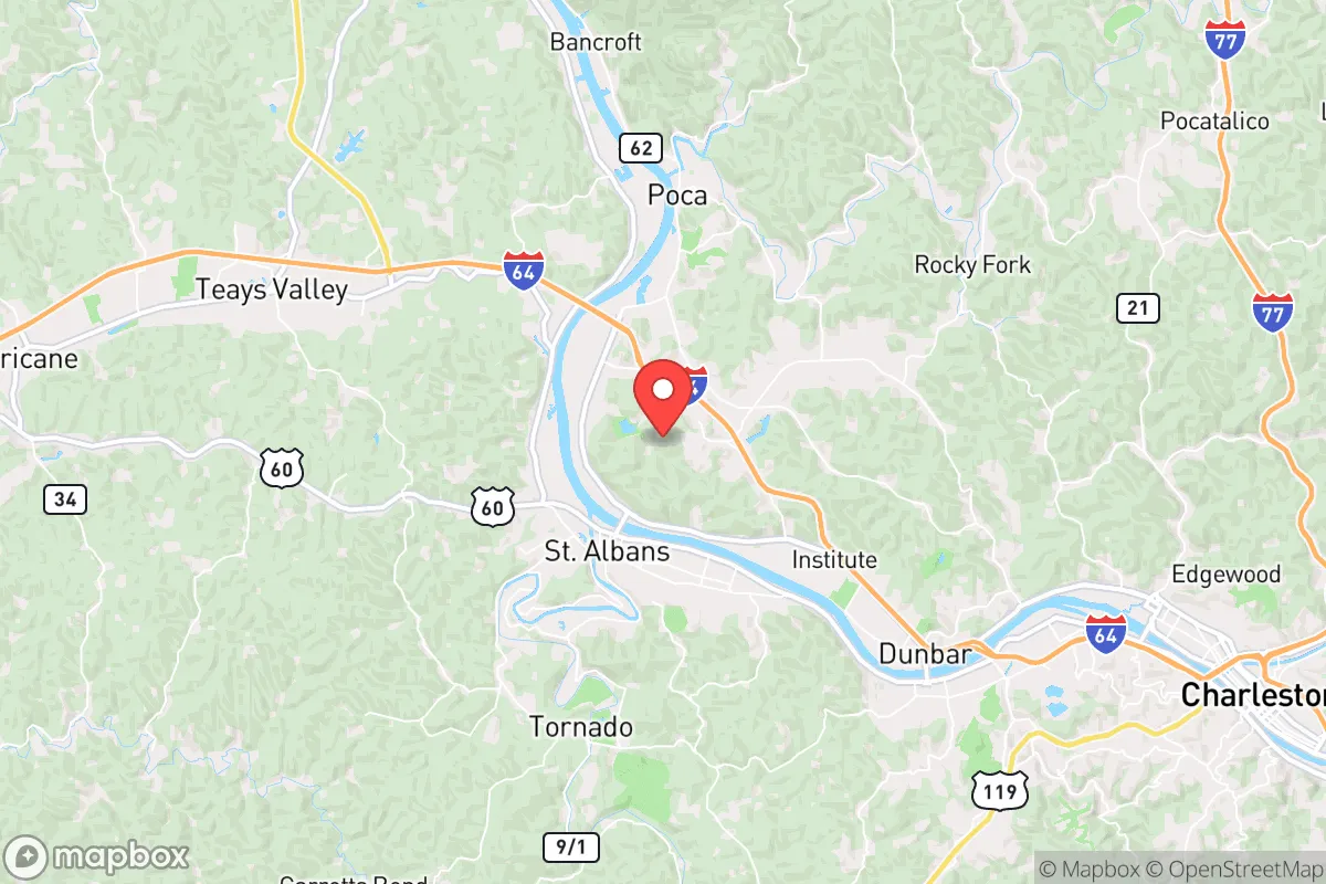
Nitro was not settled gradually but was created overnight in 1918 by the U.S. government to produce explosives for World War I. The federal government purchased 1,700 acres along the Kanawha River and built a complete planned community from scratch, complete with housing, schools, and utilities, to house thousands of workers. The original population was a mix of skilled chemists and engineers from the Northeast and Midwest, alongside a large influx of Appalachian migrants from surrounding counties in West Virginia and Kentucky who came for steady wartime wages. The earliest neighborhoods—North Nitro and South Nitro, divided by the railroad tracks—were built as standardized worker housing, with North Nitro housing plant managers and technical staff in larger homes, while South Nitro held row houses for laborers. After the war ended in 1919, the government sold the entire town at auction, and many workers stayed, transitioning into jobs at the newly established chemical plants of Union Carbide and Monsanto that replaced the munitions works. A second wave of growth came during World War II, when the same plants ramped up production again, drawing another generation of Appalachian families into neighborhoods like Park Avenue and 20th Street, which remain the core residential areas today.
Modern era (post-1965)
After the 1965 Immigration and Nationality Act, Nitro experienced virtually no international immigration—the foreign-born population remains at 0.0% in 2026—making it one of the most ethnically homogeneous small cities in the United States. The post-1965 period instead saw domestic out-migration as the chemical industry automated and downsized, with many younger residents leaving for Charleston, Huntington, or out of state entirely. The city’s Black population, which had been small but present since the founding (African American workers were housed in a separate area near the plant), declined from roughly 5% in 1970 to 1.5% today, with most families moving to larger cities. The Hispanic population (0.7%) and East/Southeast Asian population (0.0%) are negligible, and there are no Indian-subcontinent residents recorded. The neighborhoods that absorbed the few non-white residents who stayed were primarily in South Nitro and along Roosevelt Boulevard, where older, cheaper housing stock offered entry points. The dominant demographic trend since 1980 has been the aging of the white Appalachian population, with the median age rising to 44.7 years, well above the national average, as young adults leave and retirees stay put.
The future
Nitro’s population is projected to continue a slow decline, from its peak of roughly 8,000 in the 1970s to an estimated 6,500 by 2035, driven by low birth rates and net out-migration of young adults. The city is homogenizing rather than diversifying: the white share has actually increased slightly since 2000 as minority populations have left, and there is no sign of immigrant settlement due to the lack of entry-level jobs and affordable rental housing in walkable condition. The few new residents are overwhelmingly domestic retirees or remote workers from other parts of West Virginia seeking lower property taxes and proximity to Charleston’s medical facilities. Neighborhoods like Nitro Gardens and Lakeview are seeing modest infill construction, but the overall housing stock is aging, and the city has not attracted any significant new employer to reverse the demographic drift. The next decade will likely see a continued concentration of older, white, native-born residents, with the city becoming more of a bedroom community for Kanawha County than an independent economic hub.
For someone moving in now, Nitro offers a stable, low-crime, deeply rooted community where neighbors know each other and the cost of living is well below the national average. But it is also a place with limited demographic change, a shrinking tax base, and few opportunities for young families or professionals outside the healthcare and retail sectors. The city is becoming quieter, older, and more insular—a deliberate choice for those seeking predictability, but a dead end for those seeking diversity or rapid growth.
* Values derived from national, state, county, city and local statistics and may differ in a specific area. Last updated: 2026-05-03T13:58:21.000Z
Narrative content on this page is AI-generated and may contain mistakes. Verify any details that matter before acting on them.
ReloMaps may earn a commission from affiliate links at no extra cost to you.