Photo: Wikipedia
Strategic Assessment of Nitro, WV
Meaningful friction. Expect exposure to either population pressure, blast zones, or natural disaster risk. Consider buying a retreat property.
What does the Strategic Assessment tell us?
Our Strategic Assessment grades tactical survivability of an area. Major population centers, military targets, fallout zones, natural disasters, and border exposure all drive risk — lower exposure means a more defensible position in a crisis.
This is heavily inspired by Joel Skousen's Strategic Relocation book. Highly recommended you checkout the book ($)What does this tell us?
Our Strategic Assessment grades tactical survivability of an area. Major population centers, military targets, fallout zones, natural disasters, and border exposure all drive risk — lower exposure means a more defensible position in a crisis.
This is heavily inspired by Joel Skousen's Strategic Relocation book. Highly recommended you checkout the book ($)Strategic Pillars

Key Distances
Regional Safe Places
Below is our recommended "safe zones" in West Virginia and the surrounding area based on our strategic heuristics. For most people, it's unrealistic to live in a “safe zone” full-time due to work, family or other personal reasons. They tend to be more rural. However, many of these areas are perfect for second homes and retreat properties that double as a vacation home or even a short-term rental.


Important Note: For informational purposes only. This does not mean nothing bad ever happens in the green zones. Please use common sense. This is based on public data and modeled with AI. We tried to take a conservative approach but mistakes happen. We update this regularly as new information becomes available.
Solar Generator Recommendations
Backup power matters more here than in safer locations. We've picked three solar generators across budgets and capacity tiers — start with the budget unit if you only need a few essentials, or step up if you want to run a fridge and HVAC for days at a time.

Jackery Portable Power Station Explorer 300
Budget OptionPower on the Go: Weighing only 11 lbs, it's convenient to set up and store with book-sized foldable solar panels

BLUETTI Portable Power Station AC180
Designed for both indoor and outdoor scenarios, AC180 is highly capable as it has a robost capacity and continuous output power.

EF ECOFLOW DELTA Pro Ultra Power Station
Upgraded PickEcoFlow DELTA Pro Ultra is a whole-home energy system designed to grow with your family. Integrated with the Smart Home Panel 2, it scales to meet your evolving energy needs — keeping your home powered, intelligent, and secure through every stage of life.
We earn a commission, at no additional cost to you.
Strategic Assessment Analysis
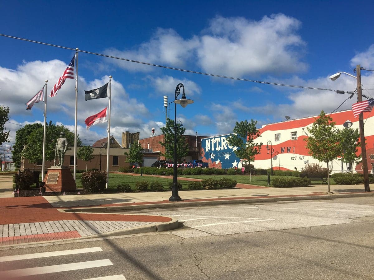
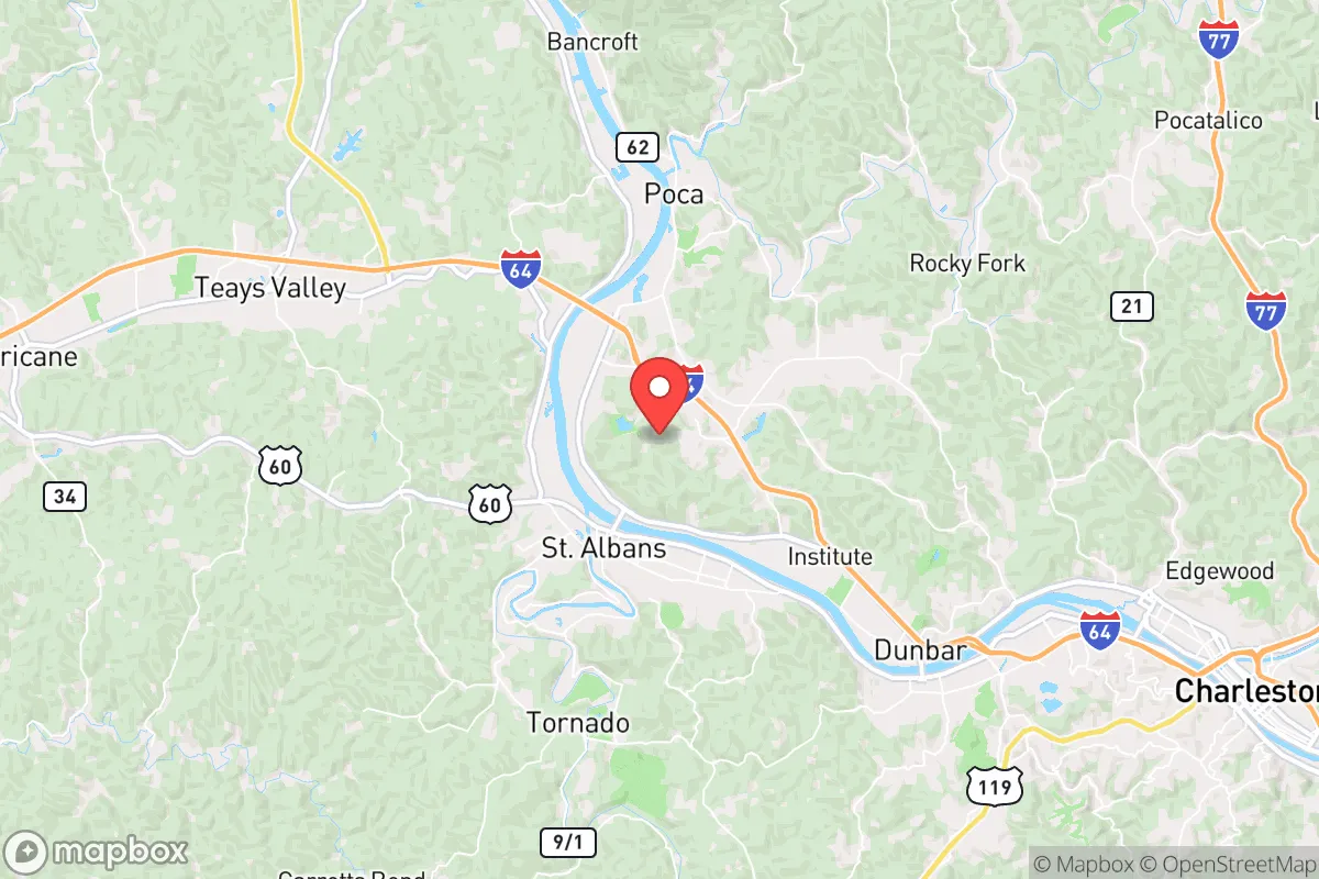
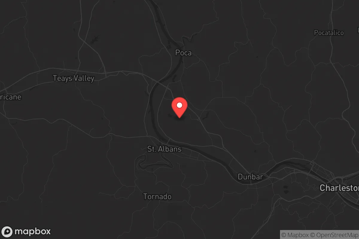
Nitro, West Virginia, sits in a narrow corridor of the Kanawha River Valley that offers a surprising blend of industrial history and strategic isolation—a combination that makes it worth a hard look for anyone thinking about long-term resilience. The town’s name comes from its World War I-era explosives plant, and that legacy of heavy manufacturing has shaped a community that understands hard work and self-reliance. For a relocator with a prepper mindset, Nitro’s real value lies in its position: close enough to Charleston for supplies and medical care, but far enough from the urban core to avoid the worst of a collapse scenario. The surrounding hills, river access, and relatively low population density create a defensible pocket that could function as a staging area or a permanent retreat, depending on your threat model.
Geographic position and natural advantages for long-term survival
Nitro sits at the confluence of the Kanawha River and several smaller creeks, giving it a reliable water source that is critical for any off-grid scenario. The Kanawha flows into the Ohio River about 40 miles downstream, meaning you have a navigable waterway for transport or evacuation if roads become impassable. The surrounding terrain is steep, forested hills—typical Appalachian ridge-and-valley country—which naturally limits approach vectors for any unwanted visitors. Elevation in the immediate area ranges from roughly 550 to 900 feet, providing good vantage points without the extreme isolation of deeper mountain hollows. The valley floor is narrow, so any movement through the area is channeled along a few key roads (primarily WV-25 and I-64), making it easier to monitor or block access. The climate is temperate, with four distinct seasons, and the growing season runs about 150 days—enough for a serious garden if you amend the acidic soil. Wildlife is abundant: white-tailed deer, turkey, and small game are present in the surrounding national forest lands, and the river holds catfish, bass, and panfish. For a relocator, this means you can supplement stored food with hunting and fishing almost immediately, without needing to travel far from your property.
Risks, exposures, and proximity to fallout-relevant landmarks
No location is perfect, and Nitro has specific vulnerabilities that a strategic relocator must weigh. The most obvious is the chemical and industrial legacy of the Kanawha Valley. The area is sometimes called "Chemical Valley" for a reason—there are active industrial facilities along the river, including a major Dow chemical plant in South Charleston and a large PPG facility in Natrium, about 20 miles downstream. A catastrophic release or a targeted attack on these plants could create a toxic plume that would affect Nitro depending on wind direction. The risk is not theoretical: in 2014, a chemical spill in nearby Charleston contaminated the water supply for 300,000 people for days. Nitro’s water comes from the Kanawha River, so a similar upstream event could compromise municipal supply. Additionally, the town is within 30 miles of the Yeager Airport in Charleston, a potential target for air-based disruption. Interstate 64 runs directly through Nitro, which is a double-edged sword: it provides quick access to supplies but also creates a highway for refugees fleeing a Charleston collapse. The population of the Charleston metro area is roughly 200,000, and in a mass evacuation scenario, Nitro would be a natural choke point. The town itself has about 6,500 residents, so you are not dealing with a dense urban environment, but you are also not deep in the backcountry. The nearest major military installation is the West Virginia Air National Guard base at Yeager, which could become a focal point for federal activity in a crisis.
Practical resilience for a relocator: food, water, energy, and defensibility
For a prepper evaluating Nitro as a potential base, the practical day-to-day resilience factors are mixed but workable. Water is the strongest asset: the Kanawha River is a year-round, high-volume water source, and the water table in the valley is shallow enough that a driven well or a hand pump is feasible on most properties. Average annual rainfall is about 42 inches, so rainwater catchment is also a viable option. The biggest challenge is water quality—the river carries industrial runoff and agricultural sediment, so you will need a robust filtration system (think Berkey or a sand filter setup) if you plan to draw from it directly. Food security is moderate. The growing season is short but productive for cool-weather crops like potatoes, cabbage, and greens. Local soil is clay-heavy and acidic, so raised beds or imported topsoil will give better yields. There are several small farms within a 15-mile radius that sell eggs, meat, and produce, but in a crisis, those sources will dry up fast. Hunting and fishing are reliable supplements, but not a primary food source for a family of four. Energy is a bright spot: West Virginia has some of the lowest electricity rates in the country, and the grid is relatively stable compared to coastal areas. For off-grid power, the hills offer decent solar exposure if you clear south-facing slopes, and the wooded terrain provides ample firewood for heating. Natural gas is available in much of the town, which is a major advantage for cooking and heating without grid dependence. Defensibility is good but not perfect. The valley floor is narrow, so a single roadblock on WV-25 or I-64 could control access to the town. The hills provide natural cover and elevation for observation posts. However, the town itself is spread out along the river, with multiple side roads and creek beds that could be used as approach routes by a determined group. Neighbors in Nitro tend to be independent and armed, which is a cultural asset—this is not a place where people will wait for FEMA to show up. The local gun culture is strong, and the county (Kanawha) has a shall-issue concealed carry permit system. That said, the town has a mix of older retired residents and younger families, so the demographic is not uniformly prepper-friendly. You will want to vet your immediate neighbors carefully.
The overall strategic picture for Nitro is that of a solid B-tier relocation target for someone serious about resilience. It is not the remote mountain fortress that some preppers dream of, but it offers a realistic balance of access and isolation. The river and the hills give you water and defensibility, the industrial corridor gives you a steady supply of jobs and materials in normal times, and the local culture leans toward self-sufficiency. The biggest risks are the chemical plants upstream and the proximity to Charleston’s population center, which could become a liability in a fast-moving crisis. If you are looking for a place to ride out a slow-burn societal decline—economic instability, supply chain disruptions, localized unrest—Nitro can work. If you are planning for a full-scale SHTF scenario with nuclear fallout or a complete grid collapse, you would want to go deeper into the mountains, toward places like Webster or Pocahontas counties. But for a relocator who wants to stay within striking distance of infrastructure while maintaining a defensible position, Nitro is a pragmatic choice that deserves a serious site visit.
* Values derived from national, state, county, city and local statistics and may differ in a specific area. Last updated: 2026-05-03T13:58:21.000Z
Narrative content on this page is AI-generated and may contain mistakes. Verify any details that matter before acting on them.
ReloMaps may earn a commission from affiliate links at no extra cost to you.