
Photo: Wikipedia
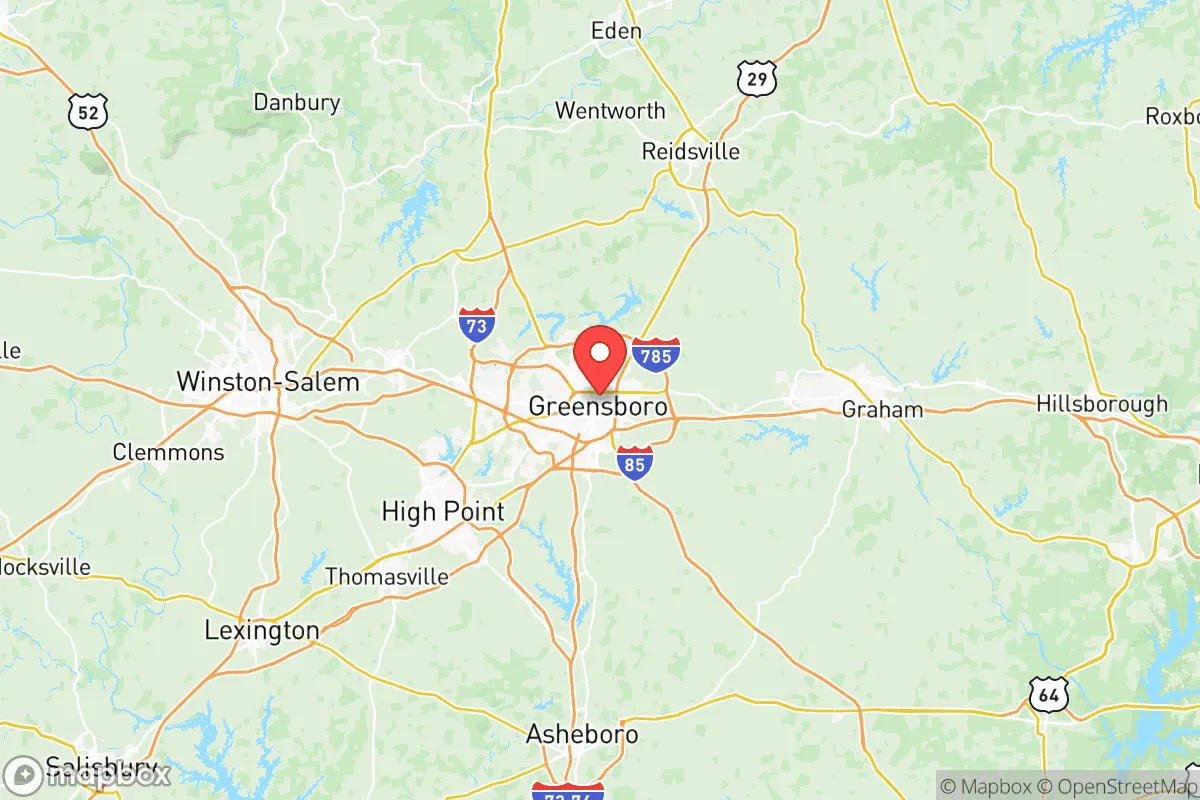
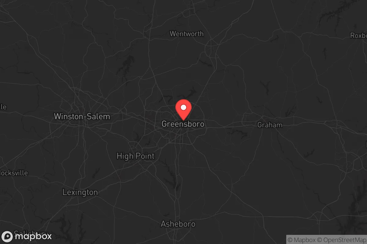
Strategic Assessment of Guilford County
Multiple tactical vulnerabilities. Population density, target proximity, or disaster risk are likely compounding. A retreat property and exit planning is required.
What does the Strategic Assessment tell us?
Our Strategic Assessment grades tactical survivability of an area. Major population centers, military targets, fallout zones, natural disasters, and border exposure all drive risk — lower exposure means a more defensible position in a crisis.
This is heavily inspired by Joel Skousen's Strategic Relocation book. Highly recommended you checkout the book ($)What does this tell us?
Our Strategic Assessment grades tactical survivability of an area. Major population centers, military targets, fallout zones, natural disasters, and border exposure all drive risk — lower exposure means a more defensible position in a crisis.
This is heavily inspired by Joel Skousen's Strategic Relocation book. Highly recommended you checkout the book ($)Strategic Pillars

Key Distances
Strategic Assessment Analysis
Guilford County offers a surprisingly strong strategic position for those prioritizing resilience, sitting squarely in North Carolina’s Piedmont Triad region—far enough from the coast to dodge hurricane storm surge and major naval targets, yet close enough to major infrastructure to sustain a post-disruption lifestyle. The county’s economic and logistical backbone is built around the cities of Greensboro and High Point, but its real advantage lies in the surrounding rural buffer zones and the absence of any single catastrophic risk factor like a major refinery, nuclear plant, or dense urban core. For a relocator thinking in terms of decades, not just next year, Guilford County balances access with insulation in a way few metro areas can match.
Geographic position and natural advantages for long-term stability
Guilford County’s location in the central Piedmont gives it a natural defensive depth. It’s roughly equidistant from the Atlantic coast (about 200 miles east) and the Appalachian Mountains (about 100 miles west), meaning you’re out of range of most hurricane storm surge and far from the seismic risks of the mountain faults. The county sits on the Eastern Continental Divide, which means local watersheds drain toward the Atlantic, not the Gulf—a minor but real advantage if you’re thinking about contamination plumes from a Gulf Coast event. The terrain is rolling hills with mixed hardwood forests, offering decent cover and natural water drainage, but it’s not so rugged that it hinders travel or farming. The climate is humid subtropical, with hot summers and mild winters—good for year-round gardening and livestock, though you’ll need to plan for occasional ice storms that can knock out power for days. The county’s elevation averages around 800 feet, which keeps it above the worst of the Piedmont’s floodplains while still being low enough to avoid the harsh winters of the mountains.
Risks, exposures, and proximity to fallout-relevant landmarks
The biggest strategic concern in Guilford County is its proximity to several high-value targets that could become fallout zones in a major conflict. Greensboro’s Piedmont Triad International Airport (GSO) is a major FedEx hub and military cargo facility, making it a likely target in a war scenario. The airport sits just 10 miles from downtown Greensboro, and a strike there would create a significant fallout plume that could affect large portions of the county depending on wind direction. High Point, known as the Furniture Capital of the World, has a dense industrial base that includes textile and chemical manufacturing—less of a direct target, but the secondary effects of a nearby strike could disrupt supply chains for months. The county also hosts Fort Liberty (formerly Fort Bragg) about 90 miles southeast, which is a primary Army installation and a high-priority target; while Guilford County is outside the immediate blast zone, fallout patterns from a strike on Fort Liberty could reach the southern parts of the county. On the plus side, there are no nuclear power plants within 50 miles—the closest is the Harris Nuclear Plant near Raleigh, about 70 miles east—and no major oil refineries or chemical weapons depots in the immediate vicinity. The Dan River runs through the northern part of the county, but it’s not a major industrial waterway, so contamination risks are lower than in areas like the Houston Ship Channel or the Mississippi River corridor.
Practical resilience for a relocator: food, water, energy, and defensibility
For someone serious about self-sufficiency, Guilford County has a mixed but workable profile. Water is the strongest asset: the county sits atop the Deep River and Haw River watersheds, with numerous small creeks, ponds, and reservoirs scattered throughout the rural areas. Lake Brandt, Lake Townsend, and Lake Higgins in the northern part of the county provide reliable surface water, though you’ll want to test for agricultural runoff and industrial contaminants if you’re relying on them long-term. Groundwater is generally good in the Piedmont’s fractured bedrock aquifers, but well depths vary—expect to drill 200-400 feet for a reliable yield. Food production is viable: the county has a strong agricultural history, with fertile clay-loam soils that support corn, soybeans, tobacco, and livestock. There are dozens of small farms and farmers’ markets in the rural towns like Summerfield, Oak Ridge, and Stokesdale, and the growing season runs from April to October. You can realistically raise chickens, goats, and even a few head of cattle on 5-10 acres. Energy is a weak point: the grid is aging and heavily dependent on Duke Energy’s coal and natural gas plants, which are vulnerable to both cyberattacks and supply chain disruptions. Solar is a good hedge—the county gets about 210 sunny days per year, enough for a modest off-grid system—but you’ll need battery storage for the frequent cloud cover in winter. Defensibility is moderate: the terrain is open enough that you can’t hide a compound easily, but the rural areas north and west of Greensboro offer good line-of-sight and natural chokepoints on the back roads. The county’s population density is about 600 people per square mile overall, but that drops to under 200 in the unincorporated areas—low enough to avoid the worst of urban chaos, but high enough that you’ll have neighbors. The Greensboro Police Department and Guilford County Sheriff’s Office are well-funded and professional, but in a prolonged crisis, law enforcement will be stretched thin, especially in the rural precincts. The county has a strong gun culture and a high rate of concealed carry permits, which cuts both ways—it means more potential allies but also more potential threats if things break down.
The overall strategic picture for Guilford County is one of cautious optimism for the prepared relocator. It’s not a bug-out paradise like the Idaho panhandle or the Montana Rockies, but it offers a realistic middle ground: close enough to urban resources to rebuild after a disaster, far enough from the worst targets to survive the initial shock. The county’s economic diversity—anchored by Greensboro’s logistics and education sectors and High Point’s manufacturing base—means it’s less likely to collapse entirely than a single-industry town. The biggest risks are the airport and the proximity to Fort Liberty, but those are manageable with a good fallout shelter and a plan to relocate temporarily if needed. For a conservative-leaning individual or family who wants to be prepared without living off-grid in a remote cabin, Guilford County is a solid bet—just don’t expect it to be a secret. The word is getting out, and property prices in the rural towns have been climbing steadily since 2020. If you’re serious, move sooner rather than later, and buy land with a good well and southern exposure for solar. The county’s resilience is real, but it’s not infinite—and the window for affordable entry is closing.
* Values derived from national, state, county, city and local statistics and may differ in a specific area. Last updated: 2026-05-10T02:44:29.000Z
Narrative content on this page is AI-generated and may contain mistakes. Verify any details that matter before acting on them.
ReloMaps may earn a commission from affiliate links at no extra cost to you.