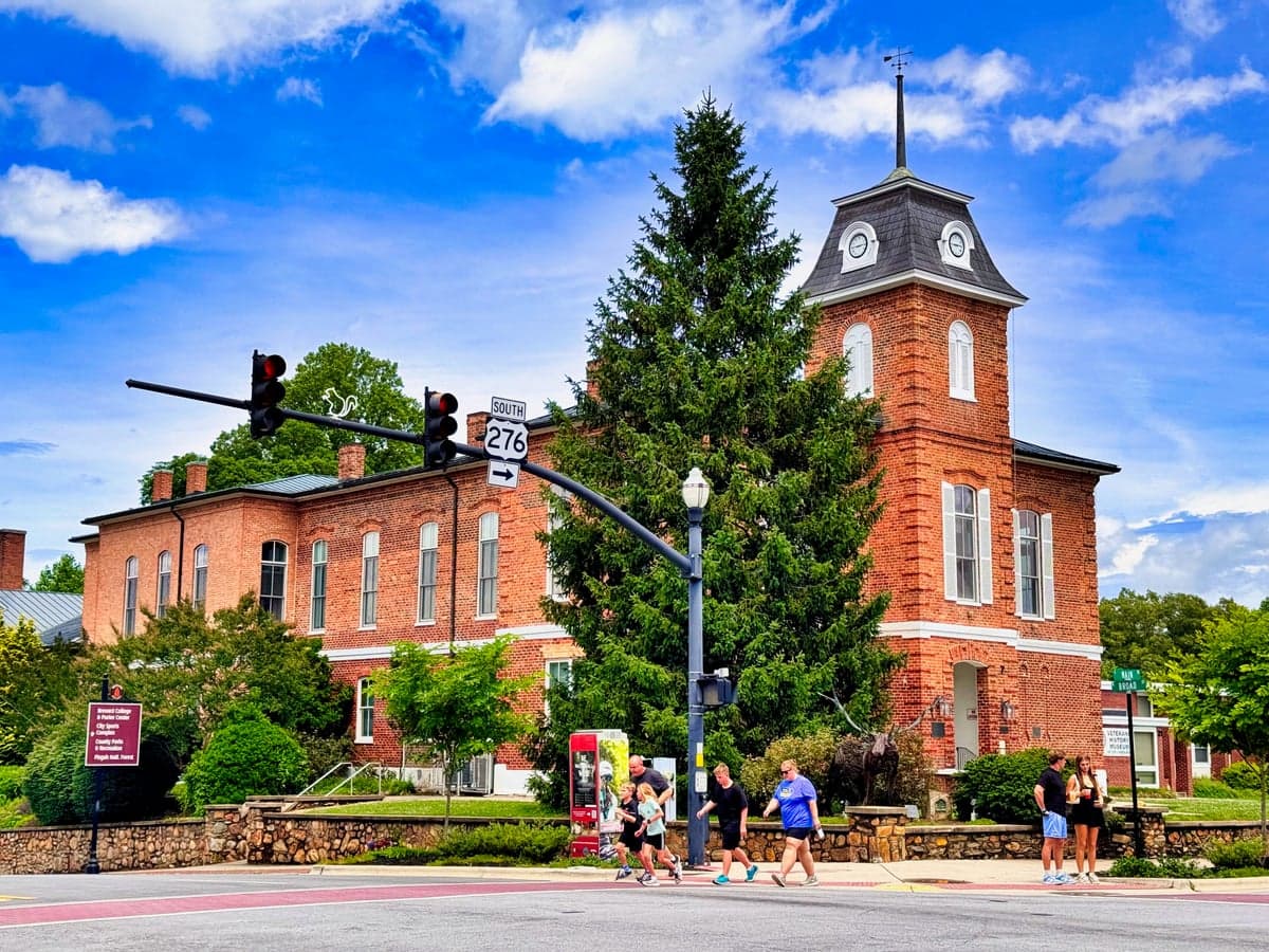
Photo: Wikipedia
Strategic Assessment of Transylvania County
Workable tactical position. Some exposure to population density or targets, but generally defensible in a crisis.
What does the Strategic Assessment tell us?
Our Strategic Assessment grades tactical survivability of an area. Major population centers, military targets, fallout zones, natural disasters, and border exposure all drive risk — lower exposure means a more defensible position in a crisis.
This is heavily inspired by Joel Skousen's Strategic Relocation book. Highly recommended you checkout the book ($)What does this tell us?
Our Strategic Assessment grades tactical survivability of an area. Major population centers, military targets, fallout zones, natural disasters, and border exposure all drive risk — lower exposure means a more defensible position in a crisis.
This is heavily inspired by Joel Skousen's Strategic Relocation book. Highly recommended you checkout the book ($)Strategic Pillars

Key Distances
Strategic Assessment Analysis
Transylvania County, North Carolina, offers a compelling strategic profile for relocators prioritizing disaster resilience and self-sufficiency, blending significant natural advantages with real exposure risks that demand careful consideration. Its position in the southern Blue Ridge Mountains provides a buffer against many coastal and urban threats, yet its proximity to critical infrastructure and the broader Southeast corridor introduces vulnerabilities that a serious preparedness-minded individual must weigh. This assessment examines the county's geographic strengths, its exposure to natural and man-made risks, and the practical realities of daily life for someone looking to build a resilient home base.
Geographic position and natural advantages for disaster resilience
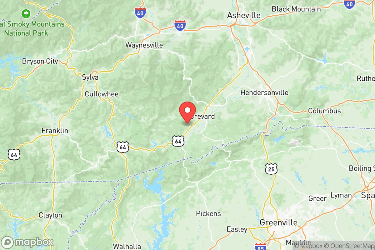
Transylvania County's primary strategic asset is its location in the mountainous interior of western North Carolina, roughly equidistant from the major population centers of Asheville (30 miles north), Greenville, South Carolina (45 miles south), and Charlotte (100 miles east). This positioning places it outside the immediate fallout zones of these cities while still providing access to their resources. The county is anchored by the town of Brevard, the county seat, and includes the smaller communities of Pisgah Forest, Rosman, and Lake Toxaway. The terrain is dominated by the Pisgah National Forest, which covers over 500,000 acres in the region, offering a natural barrier against urban sprawl and providing extensive resources for hunting, foraging, and timber. The county's elevation, ranging from roughly 2,000 to over 5,000 feet, significantly reduces the risk of storm surge and flooding from hurricanes, a major threat to coastal areas. The French Broad River and its tributaries, including the Davidson River, provide a reliable water source, though their floodplains require careful site selection. The area's rugged topography also limits large-scale infrastructure development, which can be a double-edged sword: it preserves the natural environment but also restricts road access and evacuation routes, with only a few primary arteries like US-64 and NC-276 connecting the county to the outside world.
Risks, exposures, and proximity to fallout-relevant landmarks
While Transylvania County is far from the most obvious targets, it is not immune to man-made risks. The most significant exposure is the Duke Energy Oconee Nuclear Station, located just 20 miles south in Oconee County, South Carolina. This three-unit nuclear facility is one of the oldest operating in the United States, and its proximity places the southern portion of Transylvania County within the 10-mile emergency planning zone (EPZ) and well within the 50-mile ingestion pathway zone. A major incident at Oconee could necessitate evacuation or sheltering for residents in areas like Rosman and southern Brevard. Additionally, the county lies within 100 miles of the Savannah River Site, a former nuclear weapons production facility now engaged in cleanup and waste storage, located roughly 90 miles south. While not an immediate fallout risk, any major release from that site could affect the region depending on wind patterns. On the natural disaster front, the primary threats are wildfires (the 2016 Party Rock Fire burned over 7,000 acres near Lake Lure, just east of the county) and flash flooding from intense rainfall, particularly in steep terrain. The county's mountainous geography also means that landslides are a localized risk in areas with unstable slopes. For a relocator, the key takeaway is that while the county avoids the direct fallout zones of major cities, the nuclear infrastructure to the south is a real, if low-probability, concern that should factor into property selection and emergency planning.
Practical resilience for a relocator: food, water, energy, and defensibility
For someone serious about self-sufficiency, Transylvania County offers a mixed but generally favorable picture. Water availability is a strong point: the county receives over 60 inches of annual rainfall, and numerous springs, creeks, and rivers provide ample surface water. However, private well drilling can be challenging in the rocky terrain, and well depths often exceed 200 feet, with costs ranging from $15 to $30 per foot. Food production is viable but limited by the short growing season (roughly 150-180 days) and acidic, rocky soils. The county has a strong local food culture, with the Brevard Farmers Market operating year-round and a network of small farms and CSAs, but year-round food self-sufficiency would require significant investment in greenhouses or season extension techniques. Energy resilience is a notable advantage: the region has excellent solar potential despite its cloud cover, and many properties are suitable for micro-hydro systems due to the abundant streams. Duke Energy is the primary utility, and grid reliability is generally good, but winter storms can cause extended outages, particularly in remote areas. Defensibility is a double-edged sword. The mountainous terrain and limited road access make the county naturally defensible against large-scale threats, but they also mean that a determined group could easily block the few main routes. The county's population of roughly 34,000 is spread across a large area, providing natural social distancing, but the lack of a strong local law enforcement presence in remote areas means that community-based security arrangements are more practical. The Transylvania County Sheriff's Office is the primary law enforcement agency, with a modest force of about 50 sworn deputies covering 381 square miles, so response times in rural areas can be 30 minutes or more.
Overall, Transylvania County presents a strong strategic option for the disaster-prepared relocator, but it is not a risk-free haven. Its greatest strengths are its water abundance, mountainous terrain, and distance from major urban targets, while its primary vulnerabilities are the nearby Oconee Nuclear Station, wildfire risk, and limited evacuation routes. For a single individual or family willing to invest in on-site water storage, renewable energy, and a well-stocked pantry, the county offers a realistic path to a resilient lifestyle. The key is to choose a property wisely: avoid floodplains and steep slopes, stay at least 15 miles from the nuclear plant, and ensure access to multiple exit routes. The communities of Brevard and Rosman provide essential services and a like-minded population, but the real value lies in the surrounding national forest and the ability to live with a degree of independence that is increasingly rare in the modern Southeast.

* Values derived from national, state, county, city and local statistics and may differ in a specific area. Last updated: 2026-08-08T12:55:44.000Z
Narrative content on this page is AI-generated and may contain mistakes. Verify any details that matter before acting on them.
ReloMaps may earn a commission from affiliate links at no extra cost to you.

