Photo: Wikipedia
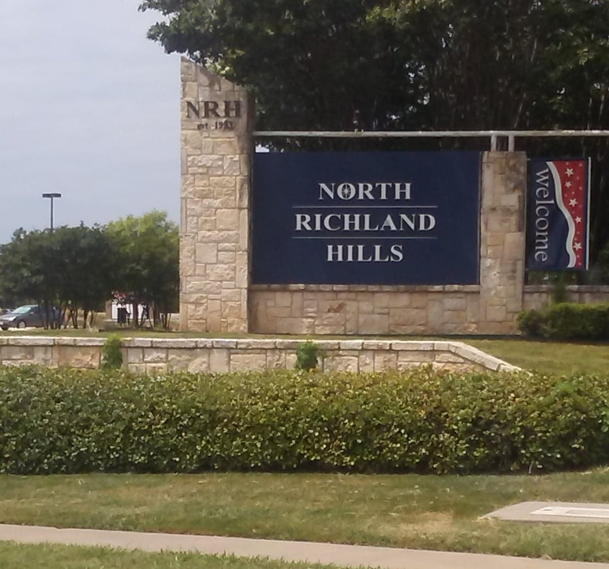
Strategic Assessment of North Richland Hills, TX
Multiple tactical vulnerabilities. Population density, target proximity, or disaster risk are likely compounding. A retreat property and exit planning is required.
What does the Strategic Assessment tell us?
Our Strategic Assessment grades tactical survivability of an area. Major population centers, military targets, fallout zones, natural disasters, and border exposure all drive risk — lower exposure means a more defensible position in a crisis.
This is heavily inspired by Joel Skousen's Strategic Relocation book. Highly recommended you checkout the book ($)What does this tell us?
Our Strategic Assessment grades tactical survivability of an area. Major population centers, military targets, fallout zones, natural disasters, and border exposure all drive risk — lower exposure means a more defensible position in a crisis.
This is heavily inspired by Joel Skousen's Strategic Relocation book. Highly recommended you checkout the book ($)Strategic Pillars

Key Distances
Regional Safe Places
Below is our recommended "safe zones" in Texas and the surrounding area based on our strategic heuristics. For most people, it's unrealistic to live in a “safe zone” full-time due to work, family or other personal reasons. They tend to be more rural. However, many of these areas are perfect for second homes and retreat properties that double as a vacation home or even a short-term rental.


Important Note: For informational purposes only. This does not mean nothing bad ever happens in the green zones. Please use common sense. This is based on public data and modeled with AI. We tried to take a conservative approach but mistakes happen. We update this regularly as new information becomes available.
Solar Generator Recommendations
Backup power matters more here than in safer locations. We've picked three solar generators across budgets and capacity tiers — start with the budget unit if you only need a few essentials, or step up if you want to run a fridge and HVAC for days at a time.

Jackery Portable Power Station Explorer 300
Budget OptionPower on the Go: Weighing only 11 lbs, it's convenient to set up and store with book-sized foldable solar panels

BLUETTI Portable Power Station AC180
Designed for both indoor and outdoor scenarios, AC180 is highly capable as it has a robost capacity and continuous output power.

EF ECOFLOW DELTA Pro Ultra Power Station
Upgraded PickEcoFlow DELTA Pro Ultra is a whole-home energy system designed to grow with your family. Integrated with the Smart Home Panel 2, it scales to meet your evolving energy needs — keeping your home powered, intelligent, and secure through every stage of life.
We earn a commission, at no additional cost to you.
Strategic Assessment Analysis
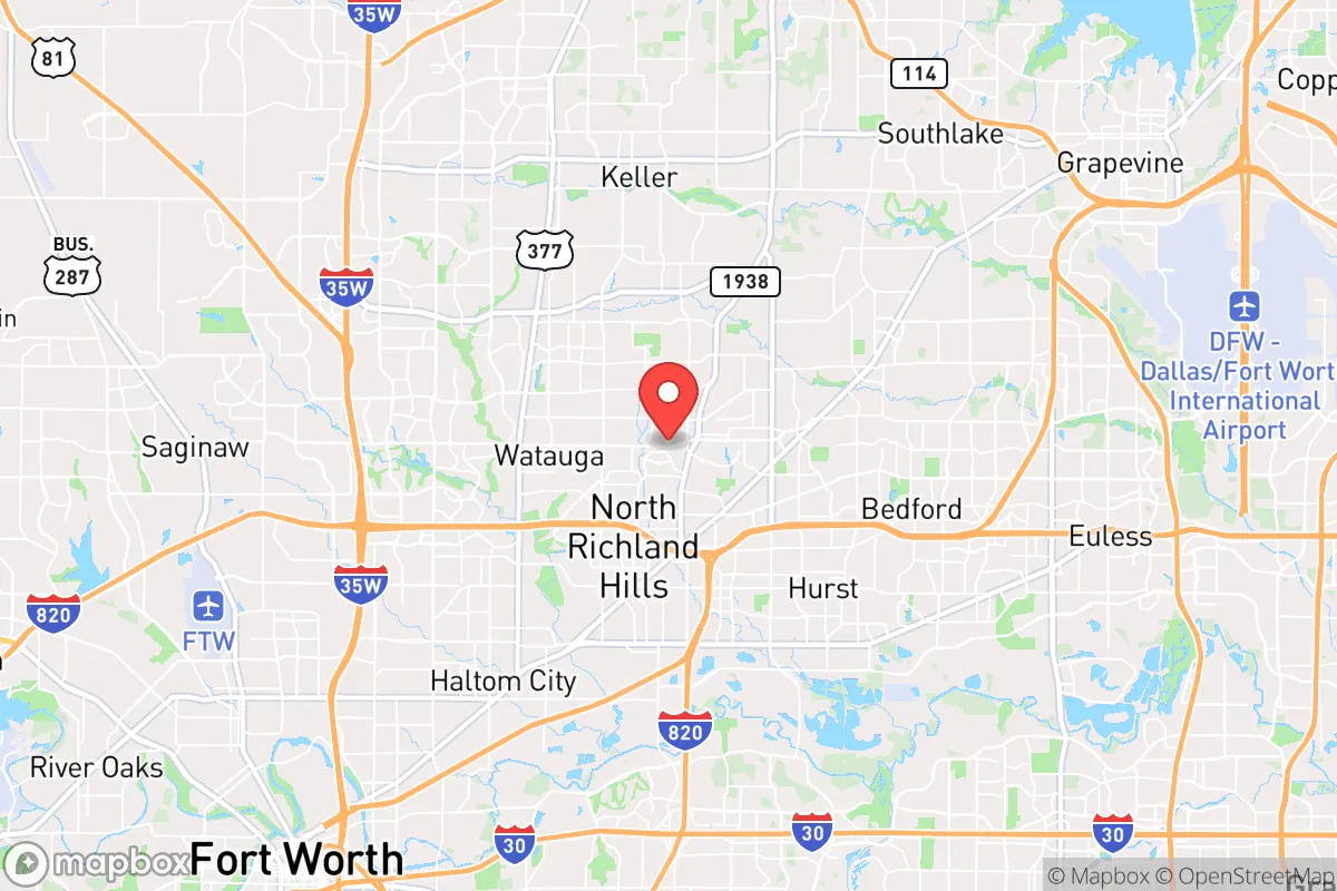
North Richland Hills sits in a precarious but potentially workable position for those thinking seriously about long-term stability and preparedness. Located in the heart of the Dallas-Fort Worth metroplex, this city of roughly 70,000 offers the immediate convenience of urban infrastructure while being close enough to rural escape routes that a disciplined prepper can leverage. The area's resilience is a double-edged sword: you get access to major medical centers, supply chains, and transportation networks, but you also inherit the vulnerabilities of being within a primary target zone for any large-scale disruption. For a conservative-minded relocator weighing civic unrest, economic collapse, or mass casualty events, North Richland Hills demands a clear-eyed assessment of its geographic strengths and its very real exposure to fallout dangers.
Geographic position and natural advantages for long-term stability
North Richland Hills benefits from its location along the Interstate 820 corridor, providing quick access to both Fort Worth and Dallas while maintaining a suburban buffer. The city sits on the eastern edge of the Cross Timbers region, a transitional zone between the Blackland Prairie and the Western Plains, which historically offered diverse wildlife and water sources. The Trinity River runs just south of the city, and while not a pristine water source, it provides a potential emergency supply if properly filtered. The area's relatively flat terrain and clay-based soils make it less prone to natural disasters like earthquakes or landslides, though tornadoes are a real seasonal threat. For a prepper, the key advantage is the ability to move north or west into less populated counties—Wise, Parker, or Jack counties—within an hour's drive, offering a viable bug-out corridor if the metroplex becomes untenable. The presence of multiple major highways (I-820, TX-121, TX-26) also means supply routes are redundant, which is critical during a breakdown of normal logistics.
Risks, exposures, and proximity to fallout-relevant landmarks
The most significant downside for North Richland Hills is its proximity to high-value targets that would be primary objectives in any large-scale conflict or terrorist event. The city is roughly 10 miles from the Fort Worth Naval Air Station Joint Reserve Base (NAS Fort Worth JRB), a major military installation housing F-35s, F-16s, and reserve units. That base is a clear strategic target. Additionally, the city lies within 15 miles of the Dallas-Fort Worth International Airport, one of the busiest in the world, and within 20 miles of the Dallas Federal Reserve Bank and multiple corporate headquarters (including Lockheed Martin in Fort Worth). In a scenario involving nuclear detonation or EMP attack, these locations would be ground zero for fallout and secondary effects. The city's dense suburban layout—with typical tract homes on quarter-acre lots—offers limited defensibility compared to rural properties. The population density (roughly 3,500 people per square mile) means that in a crisis, you'd be competing with hundreds of thousands of others for the same limited resources. The water supply is entirely dependent on the Trinity River and municipal treatment plants, which are vulnerable to contamination or disruption. For a survivalist, this is not a location to ride out a major event; it's a location to have a well-prepared exit plan.
Practical resilience for a relocator: food, water, energy, and defensibility
For someone committed to staying in North Richland Hills despite its risks, practical resilience requires a layered approach. The city's water comes from the Trinity River via the Tarrant Regional Water District, but a backup plan is essential. Rainwater collection is feasible given the area's average 36 inches of annual rainfall, though HOA restrictions in many neighborhoods may limit visible barrels. A deep well is not practical on most suburban lots, so storing at least 30 days of water per person is a baseline recommendation. Food security is better than in dense urban cores: there are multiple grocery chains (Kroger, Walmart, Aldi) within a 10-minute drive, but these would empty within hours of a crisis. Building a pantry with freeze-dried and canned goods, plus a small garden (tomatoes, peppers, squash do well in the local climate), is a realistic hedge. Energy resilience is mixed. The grid is part of the ERCOT system, which has shown vulnerability during winter storms (like the 2021 freeze). A natural gas generator is a solid investment, as gas lines are less likely to fail than the electrical grid. Solar panels with battery storage are viable, though the area's frequent cloud cover reduces efficiency compared to the Southwest. Defensibility is the weakest link. Standard suburban homes with large windows and open floor plans are hard to secure. Reinforcing doors, installing impact-resistant windows, and creating a safe room in a basement or interior closet are prudent steps. The city's police force is well-funded (roughly 150 officers), but during a widespread event, response times would stretch to hours or days. Building a trusted network of like-minded neighbors—a mutual assistance group—is arguably the most effective defensive measure available in this environment.
The overall strategic picture for North Richland Hills is one of calculated trade-offs. It offers the economic and social benefits of a thriving metroplex suburb—good schools, stable property values, and access to world-class medical care—but at the cost of being inside a primary risk zone for any major disruption. For a conservative relocator who values community and infrastructure but is serious about preparedness, this city works best as a base of operations with a clear, rehearsed bug-out plan to a more defensible rural property within a two-hour drive. The key is to treat North Richland Hills not as a final destination but as a staging ground: stock supplies, build skills, and maintain situational awareness. If you're willing to invest in hardening your home and building local alliances, you can mitigate many of the risks. But if you're looking for a place to truly hunker down and ride out a collapse, you'd be better served looking further west or north, where population density drops and natural resources are more accessible. North Richland Hills is a solid choice for the prepared professional—just don't mistake its suburban comfort for genuine security.
* Values derived from national, state, county, city and local statistics and may differ in a specific area. Last updated: 2026-05-29T21:28:04.000Z
Narrative content on this page is AI-generated and may contain mistakes. Verify any details that matter before acting on them.
ReloMaps may earn a commission from affiliate links at no extra cost to you.