Photo: Wikipedia
Strategic Assessment of Warren County
Meaningful friction. Expect exposure to either population pressure, blast zones, or natural disaster risk. Consider buying a retreat property.
What does the Strategic Assessment tell us?
Our Strategic Assessment grades tactical survivability of an area. Major population centers, military targets, fallout zones, natural disasters, and border exposure all drive risk — lower exposure means a more defensible position in a crisis.
This is heavily inspired by Joel Skousen's Strategic Relocation book. Highly recommended you checkout the book ($)What does this tell us?
Our Strategic Assessment grades tactical survivability of an area. Major population centers, military targets, fallout zones, natural disasters, and border exposure all drive risk — lower exposure means a more defensible position in a crisis.
This is heavily inspired by Joel Skousen's Strategic Relocation book. Highly recommended you checkout the book ($)Strategic Pillars

Key Distances
Strategic Assessment Analysis
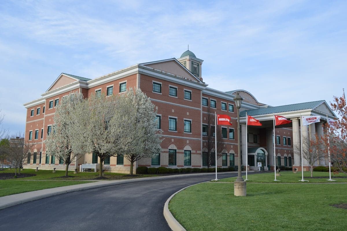
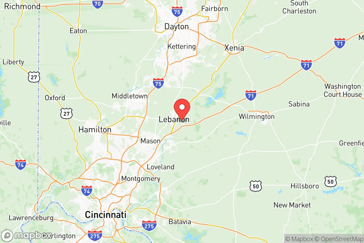
Warren County, Ohio, occupies a strategic position in the southwestern corner of the state that offers a compelling mix of accessibility and buffer—close enough to major economic hubs for opportunity, yet far enough from the highest-risk urban and industrial targets to provide a meaningful layer of resilience. The county’s geography, anchored by the cities of Lebanon, Mason, and Franklin, places it roughly 30 miles northeast of Cincinnati and 45 miles southwest of Dayton, a sweet spot that avoids the immediate blast and fallout zones of those larger metro areas while still allowing for supply runs and employment. For a relocator weighing disaster readiness alongside daily life, Warren County’s combination of rolling farmland, established suburban infrastructure, and a growing but not overcrowded population makes it a serious contender for a long-term base of operations.
Geographic position and natural advantages for long-term stability
Warren County sits in the glaciated till plains of southwestern Ohio, a region characterized by gently rolling hills, fertile soil, and a temperate climate that avoids the extremes of tornado alley to the west and lake-effect snow to the north. The county’s elevation averages around 800 feet, with the highest points near the Little Miami River valley offering natural drainage and reduced flood risk compared to low-lying areas along the Ohio River. The Little Miami River itself, a National Scenic River, cuts through the eastern part of the county, providing a reliable water source and a natural corridor for wildlife and movement. The county’s position away from major fault lines and its inland location—roughly 500 miles from the Gulf Coast and 400 miles from the Atlantic—means it is largely insulated from hurricane storm surge and tsunami threats. The primary natural risk is severe thunderstorms and occasional tornadoes, but the county’s topography does not funnel storms like the open plains, and the average tornado frequency is lower than in states like Oklahoma or Kansas. For a relocator, this means a stable base with predictable seasonal patterns and minimal catastrophic natural disaster exposure.
Risks, exposures, and proximity to fallout-relevant landmarks
The most significant risk for Warren County is its proximity to man-made and infrastructure targets that could become fallout sources in a major conflict or industrial accident. The county lies within 50 miles of Wright-Patterson Air Force Base near Dayton, a major Air Force logistics and research hub that would be a high-priority target in any strategic conflict. The plume from a ground burst at Wright-Patterson could potentially reach the northern parts of Warren County, depending on wind direction, though the county’s southern half—including Lebanon and Mason—would likely be outside the most dangerous fallout zones. Closer to home, the Miami Fort Station coal-fired power plant in nearby North Bend, Ohio, and the Zimmer Nuclear Power Station (now a natural gas plant) near Moscow, Ohio, are industrial sites that could pose secondary risks from conventional strikes or accidents. The county also sits within 60 miles of the Fernald Feed Materials Production Center, a former uranium processing site that has been remediated but remains a symbolic target. On the positive side, Warren County has no major refineries, ports, or chemical corridors within its borders, and the nearest major petrochemical infrastructure is along the Ohio River, 20-30 miles south. The county’s lack of a major military base or critical national infrastructure within its own boundaries reduces its likelihood of being a primary target, making it a “gray zone” location—close enough to be affected by regional events, but not so close as to be in the immediate blast radius.
Practical resilience for a relocator: food, water, energy, and defensibility
Warren County offers a strong foundation for practical self-sufficiency, particularly in food and water security. The county is home to over 500 farms, with significant agricultural production in corn, soybeans, and livestock, concentrated in the rural townships around Waynesville, Harveysburg, and Morrow. Farmers’ markets operate year-round in Lebanon and Mason, and the county’s position within the Miami Valley means access to a network of small-scale producers who can supply fresh food even during supply chain disruptions. Water resources are abundant: the Little Miami River and its tributaries, including the East Fork and Caesar Creek, provide surface water, while the underlying Great Miami Buried Valley Aquifer is one of the most productive groundwater sources in the Midwest. The county’s water treatment infrastructure is modern, but for a relocator, the ability to draw from private wells or surface sources is a real option in the more rural northern and eastern townships. Energy resilience is mixed: the county is served by Duke Energy and Dayton Power & Light, with the grid vulnerable to ice storms and summer peak loads, but the prevalence of rural properties means solar panel installation is feasible and increasingly common. Natural gas is widely available, and wood-burning stoves are a practical backup in the colder months. Defensibility is a key advantage: Warren County’s terrain is not mountainous, but the combination of river valleys, wooded areas, and a network of county roads that are easy to monitor makes it possible to secure a rural property. The county’s population density is low enough in the northern half (around 150 people per square mile versus 800+ in Mason) that a relocator can find a property with good sightlines and limited neighbors. The Caesar Creek State Park and Fort Ancient Earthworks offer natural cover and historical precedent for defensive positioning, though modern security is more about community networks and situational awareness than fortifications.
The overall strategic picture for Warren County is one of balanced resilience: it offers a solid mix of geographic safety, resource availability, and proximity to essential services without the high-risk exposure of living directly in a major metro or near a primary target. The county’s growth—population increased by roughly 15% between 2010 and 2020—reflects its appeal, but that growth also means suburban sprawl is creeping into formerly rural areas, so a relocator should target the northern and eastern townships (Waynesville, Harveysburg, and the area around Oregonia) for maximum buffer. The presence of Kings Island amusement park in Mason is a minor landmark but not a strategic concern; the real assets are the agricultural land, the aquifer, and the distance from Wright-Patterson’s immediate fallout zone. For a family or individual serious about preparedness, Warren County provides a defensible, resource-rich base that can sustain itself through most regional disruptions while still being within a two-hour drive of Cincinnati, Dayton, and Columbus for specialized medical care or supply runs. It is not a remote bunker location, but it is a practical, livable choice for those who want to be ready without isolating themselves from modern life.

* Values derived from national, state, county, city and local statistics and may differ in a specific area. Last updated: 2026-08-19T02:46:56.000Z
Narrative content on this page is AI-generated and may contain mistakes. Verify any details that matter before acting on them.
ReloMaps may earn a commission from affiliate links at no extra cost to you.

