Photo: Wikipedia
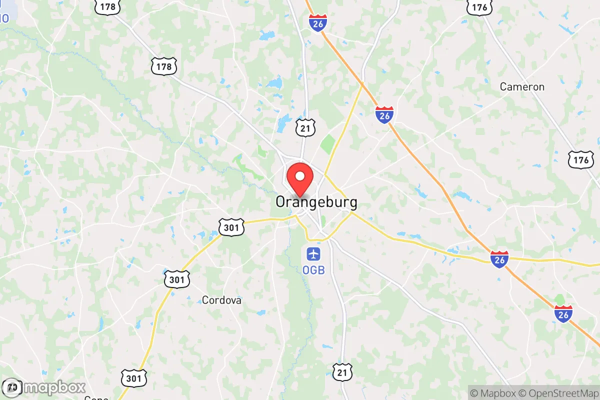
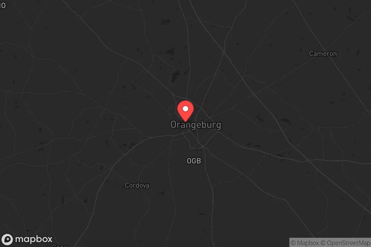
Strategic Assessment of Orangeburg, SC
Meaningful friction. Expect exposure to either population pressure, blast zones, or natural disaster risk. Consider buying a retreat property.
What does the Strategic Assessment tell us?
Our Strategic Assessment grades tactical survivability of an area. Major population centers, military targets, fallout zones, natural disasters, and border exposure all drive risk — lower exposure means a more defensible position in a crisis.
This is heavily inspired by Joel Skousen's Strategic Relocation book. Highly recommended you checkout the book ($)What does this tell us?
Our Strategic Assessment grades tactical survivability of an area. Major population centers, military targets, fallout zones, natural disasters, and border exposure all drive risk — lower exposure means a more defensible position in a crisis.
This is heavily inspired by Joel Skousen's Strategic Relocation book. Highly recommended you checkout the book ($)Strategic Pillars

Key Distances
Regional Safe Places
Below is our recommended "safe zones" in South Carolina and the surrounding area based on our strategic heuristics. For most people, it's unrealistic to live in a “safe zone” full-time due to work, family or other personal reasons. They tend to be more rural. However, many of these areas are perfect for second homes and retreat properties that double as a vacation home or even a short-term rental.


Important Note: For informational purposes only. This does not mean nothing bad ever happens in the green zones. Please use common sense. This is based on public data and modeled with AI. We tried to take a conservative approach but mistakes happen. We update this regularly as new information becomes available.
Solar Generator Recommendations
Backup power matters more here than in safer locations. We've picked three solar generators across budgets and capacity tiers — start with the budget unit if you only need a few essentials, or step up if you want to run a fridge and HVAC for days at a time.

Jackery Portable Power Station Explorer 300
Budget OptionPower on the Go: Weighing only 11 lbs, it's convenient to set up and store with book-sized foldable solar panels

BLUETTI Portable Power Station AC180
Designed for both indoor and outdoor scenarios, AC180 is highly capable as it has a robost capacity and continuous output power.

EF ECOFLOW DELTA Pro Ultra Power Station
Upgraded PickEcoFlow DELTA Pro Ultra is a whole-home energy system designed to grow with your family. Integrated with the Smart Home Panel 2, it scales to meet your evolving energy needs — keeping your home powered, intelligent, and secure through every stage of life.
We earn a commission, at no additional cost to you.
Strategic Assessment Analysis
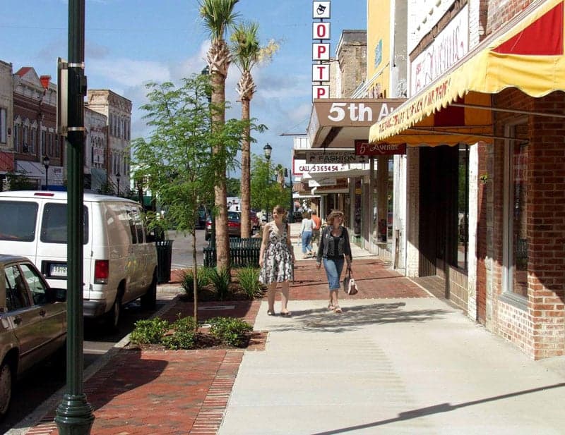
Orangeburg, South Carolina, sits at a strategic crossroads for those prioritizing resilience and geographic buffer in an increasingly uncertain national landscape. Its location roughly midway between Columbia and Charleston, yet far enough from both to avoid the immediate fallout of a major urban crisis, offers a rare blend of accessibility and isolation. For a relocator with a prepper mindset, Orangeburg’s position along the I-26 corridor provides a viable escape route to the coast or inland, while its surrounding agricultural land and modest population density create a foundation for long-term self-sufficiency. The area’s history of weathering hurricanes and economic shifts speaks to a quiet durability that conservative-leaning individuals seeking stability often find appealing.
Geographic position and natural advantages for long-term security
Orangeburg’s geographic advantage lies in its placement within the South Carolina Lowcountry, a region defined by the Santee River basin and the Edisto River. The area is not coastal, which reduces direct hurricane storm surge risk, but it is close enough to the Atlantic to benefit from maritime weather patterns that moderate extreme temperatures. The surrounding terrain is flat to gently rolling, with abundant hardwood forests and wetlands that provide natural cover and water filtration. The Edisto River, one of the longest free-flowing blackwater rivers in the eastern United States, runs through the county, offering a reliable freshwater source for those who know how to access it. The region’s clay-based soils are suitable for small-scale agriculture, and the long growing season—typically from March to November—supports year-round food production. For a relocator, this means the land itself can sustain a family with proper planning, unlike arid or overdeveloped areas. The area’s low population density—roughly 87 people per square mile in Orangeburg County—means fewer neighbors to compete with for resources during a crisis, and the rural character of the surrounding countryside provides multiple options for off-grid living without drawing attention.
Risks, exposures, and proximity to fallout-relevant landmarks
No location is without vulnerabilities, and Orangeburg has several that a strategic relocator must weigh carefully. The most immediate risk is its proximity to the Savannah River Site (SRS), a nuclear reservation located about 60 miles southwest near Aiken. SRS has a history of radioactive waste storage and processing, and while it is heavily regulated, any major incident—whether from natural disaster, sabotage, or systemic failure—could produce a plume that reaches Orangeburg depending on wind patterns. The area also lies within the hurricane strike zone of the Carolinas, with storms like Hugo (1989) and Matthew (2016) causing significant flooding and power outages. The Edisto River and its tributaries are prone to flash flooding during heavy rain events, which can isolate rural properties. Additionally, Orangeburg is roughly 90 miles from Charleston’s port and naval facilities, a potential target for maritime or terrorist attacks that could disrupt supply chains and trigger mass evacuations. The I-26 corridor, while useful for escape, also serves as a funnel for refugees fleeing coastal disasters, which could overwhelm local resources. For the conservative prepper, these risks underscore the need for a well-stocked retreat with redundant water and power systems, as well as a plan to monitor wind direction during any nuclear incident. The area’s lack of major military bases or government facilities is a double-edged sword: it reduces the chance of being a direct target, but also means limited federal response capability in a crisis.
Practical resilience for a relocator: food, water, energy, and defensibility
Orangeburg’s practical resilience hinges on its agricultural base and the ability to achieve a degree of self-sufficiency. The county is a major producer of soybeans, corn, and timber, and the local farmers’ markets and roadside stands offer fresh produce even in normal times. For a relocator, this means access to bulk food supplies and the knowledge of local growers who can share techniques for small-scale farming. Water is abundant from the Edisto River and numerous creeks, but surface water requires treatment—boiling, filtration, or chemical purification—before consumption. Well water is common in rural areas, and drilling a private well is a viable option for those purchasing land outside the city limits. Energy resilience is more challenging: the local grid is served by Santee Cooper and Duke Energy, both of which have experienced outages during storms. Solar panels with battery storage are practical given the region’s 218 sunny days per year, but backup generators running on propane or diesel are a more reliable hedge against extended blackouts. Defensibility is moderate. The rural landscape offers natural chokepoints—narrow bridges over rivers, single-lane roads through forests—that can be monitored or blocked if necessary. However, the flat terrain means that a determined group could approach from multiple directions, so a layered security plan involving perimeter awareness, communication with neighbors, and a hardened safe room is advisable. The local culture leans conservative and self-reliant, with a strong hunting and firearms tradition, which can be an asset for forming a mutual aid network. The Orangeburg County Sheriff’s Office maintains a visible presence, but in a widespread crisis, response times would stretch thin, making personal preparedness the primary line of defense.
The overall strategic picture for Orangeburg is one of calculated trade-offs. It offers a solid foundation for a resilient lifestyle—abundant water, fertile land, low population density, and a location that buffers against the worst of coastal and urban threats. The risks from the Savannah River Site and hurricane flooding are real but manageable with proper planning, and the area’s distance from major metropolitan centers reduces the likelihood of being caught in the initial wave of civil unrest or mass casualty events. For the conservative relocator seeking a place to ride out national turbulence while maintaining access to jobs and supplies via I-26, Orangeburg represents a viable middle ground. It is not a fortress, but it is a place where a prepared family can build a sustainable existence, provided they invest in water treatment, backup power, and a strong local network. The key is to act before the next crisis hits—land prices remain reasonable, and the community still values the kind of neighborly self-reliance that is becoming rare in more urbanized areas. Orangeburg won’t save you from every scenario, but it gives you a fighting chance to control your own outcome.
* Values derived from national, state, county, city and local statistics and may differ in a specific area. Last updated: 2026-05-01T00:38:34.000Z
Narrative content on this page is AI-generated and may contain mistakes. Verify any details that matter before acting on them.
ReloMaps may earn a commission from affiliate links at no extra cost to you.