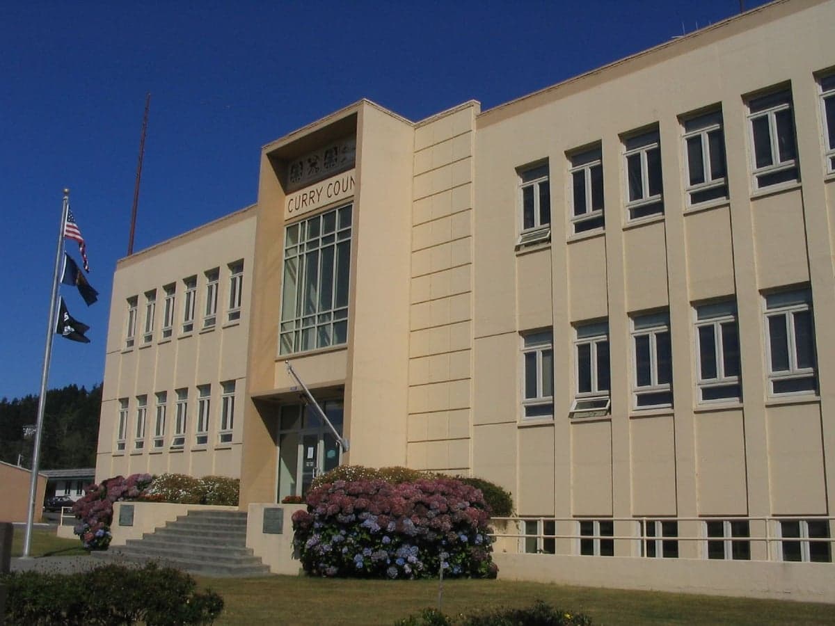
Photo: Wikipedia
Strategic Assessment of Curry County
Workable tactical position. Some exposure to population density or targets, but generally defensible in a crisis.
What does the Strategic Assessment tell us?
Our Strategic Assessment grades tactical survivability of an area. Major population centers, military targets, fallout zones, natural disasters, and border exposure all drive risk — lower exposure means a more defensible position in a crisis.
This is heavily inspired by Joel Skousen's Strategic Relocation book. Highly recommended you checkout the book ($)What does this tell us?
Our Strategic Assessment grades tactical survivability of an area. Major population centers, military targets, fallout zones, natural disasters, and border exposure all drive risk — lower exposure means a more defensible position in a crisis.
This is heavily inspired by Joel Skousen's Strategic Relocation book. Highly recommended you checkout the book ($)Strategic Pillars

Key Distances
Strategic Assessment Analysis
Curry County, Oregon, is one of the most geographically isolated and strategically defensible locations on the West Coast, offering a rare combination of natural barriers and resource abundance for those serious about long-term resilience. Anchored by the coastal towns of Gold Beach and Brookings, this southwestern corner of Oregon sits roughly 90 miles from the nearest interstate and is buffered by the Klamath Mountains to the east and the Pacific Ocean to the west. For a relocator weighing disaster preparedness and self-sufficiency, Curry County presents a compelling case—but it comes with distinct trade-offs in access, infrastructure, and exposure that demand a clear-eyed assessment.
Geographic position and natural advantages for long-term security
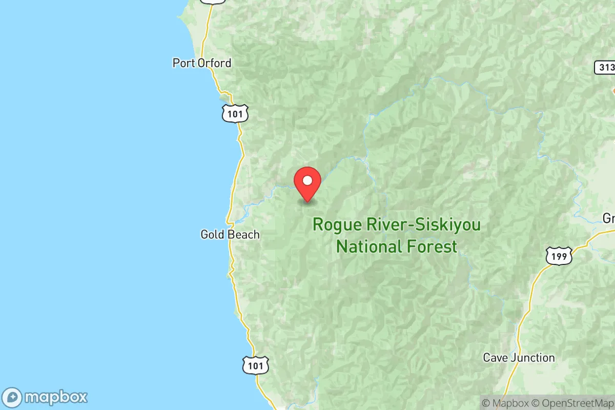
Curry County’s primary strategic asset is its position as a natural cul-de-sac. The county is wedged between the Pacific Ocean and the rugged Siskiyou and Klamath mountain ranges, with only two major arterial routes—U.S. Highway 101 running north-south along the coast and U.S. Highway 199 connecting Cave Junction and Grants Pass inland. This limited road network means that in a crisis, the area is naturally chokepointed; conversely, it also means that outside disruption is slower to arrive. The nearest major population centers—Medford (about 90 miles northeast) and Crescent City, California (about 25 miles south)—are small enough that a regional emergency would not generate the mass exodus seen from larger metros.
The county’s interior is dominated by the Rogue River-Siskiyou National Forest and the Wild Rogue Wilderness, offering thousands of square miles of undeveloped terrain. The Rogue River itself, which cuts through the northern half of the county, provides a reliable freshwater source, as do numerous smaller coastal streams and the Chetco River near Brookings. Timber and fisheries have historically anchored the local economy, meaning a meaningful portion of the population already possesses hands-on skills in forestry, fishing, and mechanical repair—skills that translate directly to a self-sufficient lifestyle. The mild coastal climate, with average winter lows in the 40s and summer highs in the 60s and 70s, reduces heating demand and supports year-round food production in a way that inland mountain communities cannot match.
Risk exposure and proximity to fallout-relevant landmarks
No resilience assessment is honest without addressing the region’s vulnerabilities, and Curry County has two significant ones: seismic activity and wildfire. The county sits within the Cascadia Subduction Zone, the same fault system that produced the 1700 magnitude-9.0 earthquake. A full-rupture event would generate a tsunami that could inundate low-lying coastal areas, particularly the Port of Brookings Harbor and the Gold Beach waterfront, within 15 to 30 minutes of shaking. The Oregon Department of Geology and Mineral Industries has mapped tsunami inundation zones that cover much of the developed coastline, meaning any serious relocator should prioritize property above the 60-foot elevation contour and at least a mile inland.
Wildfire is the more immediate and recurring threat. The 2020 Chetco Bar Fire and the 2021 Rum Creek Fire both burned tens of thousands of acres within the county, and the region’s dry summer months combined with dense forest cover create a persistent risk. Smoke events can last weeks, and evacuation routes along Highway 101 can become congested or blocked. On the man-made risk side, Curry County is notably free of the industrial targets that plague other regions—there are no refineries, no major military installations, and no nuclear power plants within 150 miles. The nearest significant infrastructure is the Port of Coos Bay, roughly 100 miles north, and the Klamath Hydroelectric Project dams on the Klamath River, which have been partially removed. The absence of strategic targets makes the county a low-priority zone in any conflict scenario, though the Port of Brookings Harbor does host commercial fishing and Coast Guard operations that could see secondary effects.
Practical resilience for a relocator: food, water, energy, and defensibility
For the self-sufficient relocator, Curry County’s practical resilience is a mixed bag that rewards preparation. On food production, the mild climate and abundant rainfall (60–80 inches annually along the coast) support year-round vegetable gardening, and the region has a strong small-farm culture—the Curry County Farmers Market in Gold Beach and the Brookings Harbor Farmers Market both operate seasonally. However, the county is not a breadbasket; it produces virtually no commercial grain, and most staple crops must be imported. A serious pantry strategy is essential, not optional. Local fishing—both commercial and recreational—provides a reliable protein source, with salmon, crab, and rockfish available seasonally, but a household should not assume it can live off the ocean alone.
Water is a genuine advantage. The county’s municipal systems in Gold Beach and Brookings draw from the Rogue and Chetco rivers respectively, and rural properties commonly have private wells with excellent yields. The Chetco River, in particular, is known for its clarity and reliability, and the Oregon Water Resources Department has historically been permissive with residential well permits in the county. That said, a well is only as good as its power source; a backup generator or solar-plus-battery system is critical, as the region’s rural electric cooperatives—Coos-Curry Electric Cooperative and Pacific Power—are vulnerable to storm and seismic outages that can last days or weeks.
Energy independence is achievable but requires upfront investment. The county receives significant solar radiation despite coastal fog, and off-grid solar installations are common in the interior. Wood heat is a practical and abundant option, given the county’s timber industry, but it requires a reliable supply chain and proper stove maintenance. On defensibility, the terrain itself is the primary asset: the narrow river valleys and mountain passes create natural chokepoints, and the low population density (roughly 23,000 residents across 1,627 square miles) means that a prepared household is unlikely to face the resource competition seen in denser areas. The county sheriff’s office and local fire districts are professional but stretched thin; in a prolonged emergency, residents are expected to be self-reliant for at least 72 hours, and realistically longer.
The overall strategic picture for Curry County is one of high isolation, moderate natural risk, and strong self-sufficiency potential. It is not a place for someone seeking proximity to urban amenities or rapid emergency response—the nearest Level II trauma center is in Medford, a 90-minute drive over mountain passes that can close in winter weather. But for a relocator who prioritizes geographic security, abundant water, a mild climate, and a low-target profile, Curry County offers a defensible, livable base. The key is to treat it as a long-term project: secure property above the tsunami zone, invest in fire-resistant construction and defensible space, build a robust food and medical pantry, and develop relationships with the local fishing and farming communities. Done right, this corner of Oregon can be a quiet, resilient home base for decades.

* Values derived from national, state, county, city and local statistics and may differ in a specific area. Last updated: 2026-10-16T03:26:48.000Z
Narrative content on this page is AI-generated and may contain mistakes. Verify any details that matter before acting on them.
ReloMaps may earn a commission from affiliate links at no extra cost to you.

