Photo: Wikipedia
Strategic Assessment of Panama City Beach, FL
Meaningful friction. Expect exposure to either population pressure, blast zones, or natural disaster risk. Consider buying a retreat property.
What does the Strategic Assessment tell us?
Our Strategic Assessment grades tactical survivability of an area. Major population centers, military targets, fallout zones, natural disasters, and border exposure all drive risk — lower exposure means a more defensible position in a crisis.
This is heavily inspired by Joel Skousen's Strategic Relocation book. Highly recommended you checkout the book ($)What does this tell us?
Our Strategic Assessment grades tactical survivability of an area. Major population centers, military targets, fallout zones, natural disasters, and border exposure all drive risk — lower exposure means a more defensible position in a crisis.
This is heavily inspired by Joel Skousen's Strategic Relocation book. Highly recommended you checkout the book ($)Strategic Pillars

Key Distances
Regional Safe Places
Below is our recommended "safe zones" in Florida and the surrounding area based on our strategic heuristics. For most people, it's unrealistic to live in a “safe zone” full-time due to work, family or other personal reasons. They tend to be more rural. However, many of these areas are perfect for second homes and retreat properties that double as a vacation home or even a short-term rental.

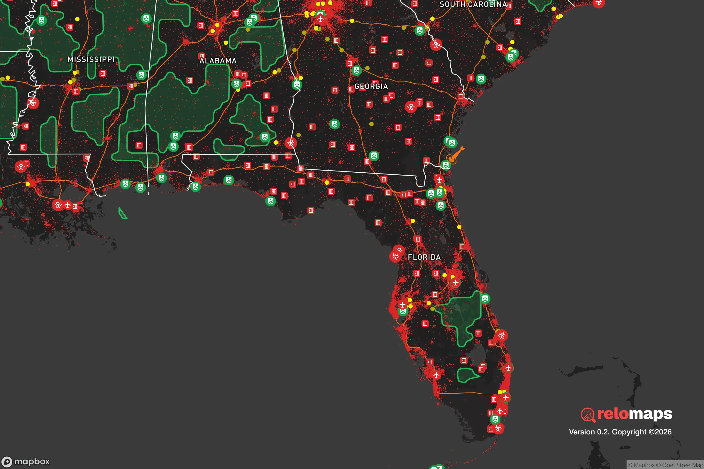
Important Note: For informational purposes only. This does not mean nothing bad ever happens in the green zones. Please use common sense. This is based on public data and modeled with AI. We tried to take a conservative approach but mistakes happen. We update this regularly as new information becomes available.
Solar Generator Recommendations
Backup power matters more here than in safer locations. We've picked three solar generators across budgets and capacity tiers — start with the budget unit if you only need a few essentials, or step up if you want to run a fridge and HVAC for days at a time.

Jackery Portable Power Station Explorer 300
Budget OptionPower on the Go: Weighing only 11 lbs, it's convenient to set up and store with book-sized foldable solar panels

BLUETTI Portable Power Station AC180
Designed for both indoor and outdoor scenarios, AC180 is highly capable as it has a robost capacity and continuous output power.

EF ECOFLOW DELTA Pro Ultra Power Station
Upgraded PickEcoFlow DELTA Pro Ultra is a whole-home energy system designed to grow with your family. Integrated with the Smart Home Panel 2, it scales to meet your evolving energy needs — keeping your home powered, intelligent, and secure through every stage of life.
We earn a commission, at no additional cost to you.
Strategic Assessment Analysis
Panama City Beach, Florida, offers a mixed strategic picture for those prioritizing resilience and preparedness. Its location on the Gulf Coast provides a degree of natural isolation from major population centers, but this advantage is offset by significant exposure to natural disasters and the vulnerabilities inherent in a tourism-dependent economy. For a relocator concerned with civic unrest, mass casualty events, and long-term stability, this area requires a clear-eyed assessment of both its defensive strengths and its critical weaknesses.
Geographic position and natural advantages for long-term stability
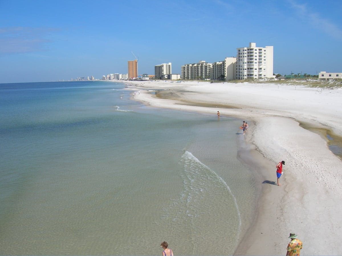
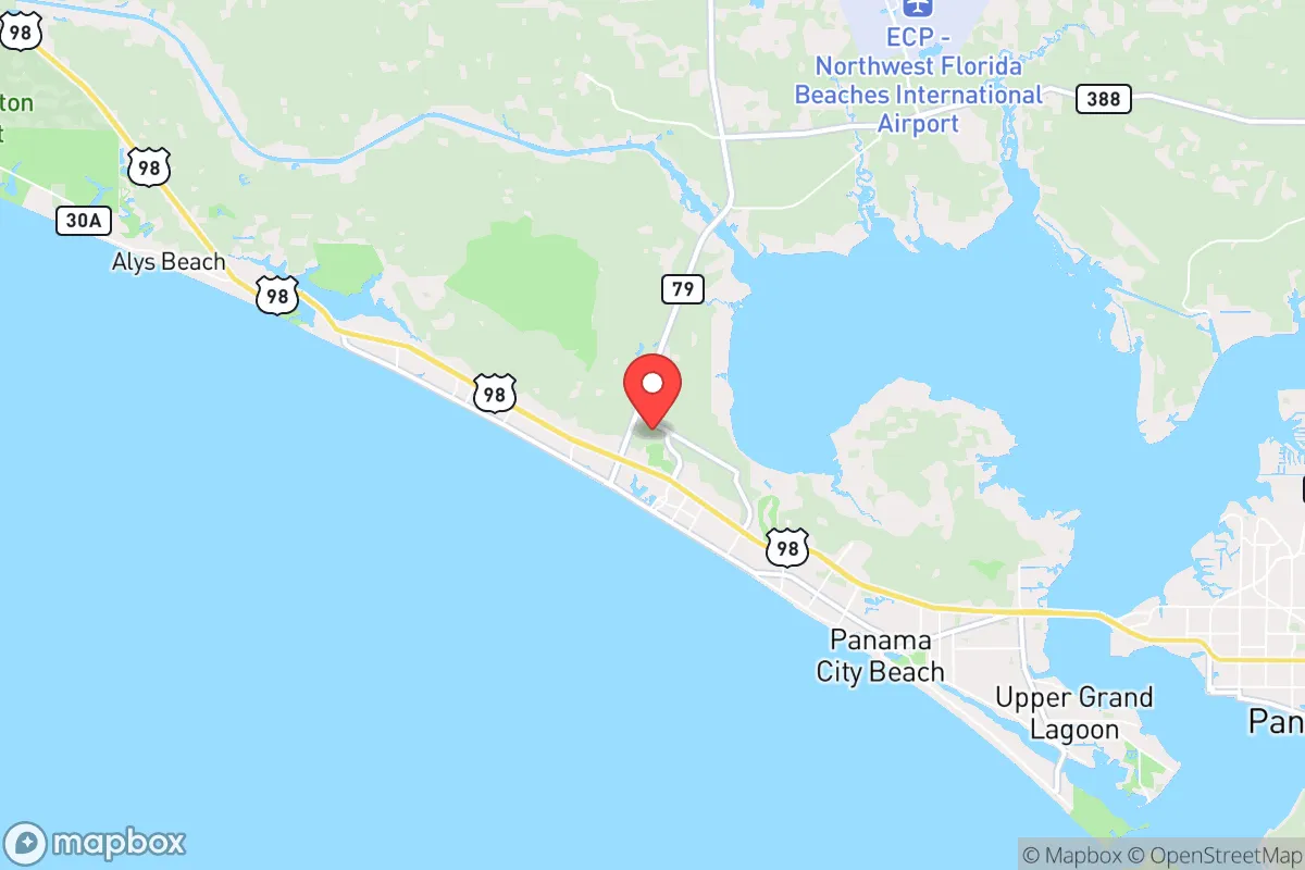
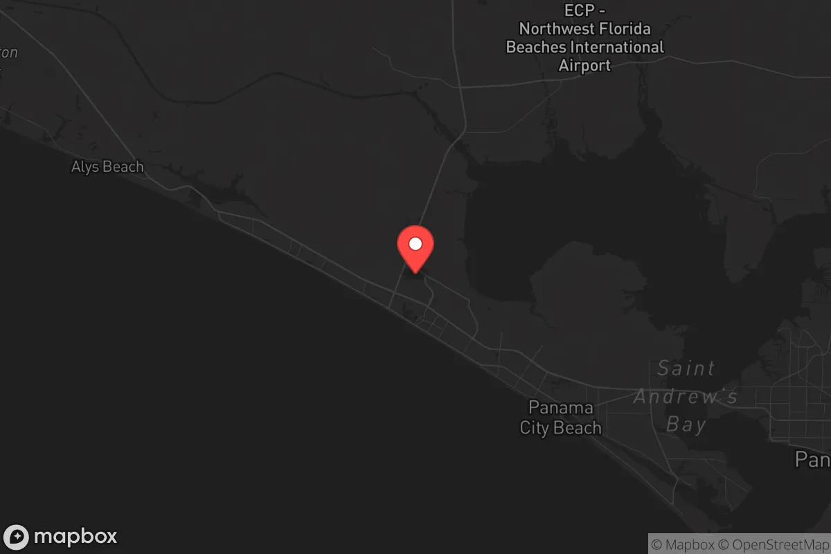
Panama City Beach sits on a narrow barrier island, roughly 27 miles long, separated from the mainland by St. Andrew Bay and the Intracoastal Waterway. This geography creates a natural chokepoint: the only road access to the beach is via the Hathaway Bridge, the Dupont Bridge, or the Phillips Inlet Bridge. In a scenario requiring isolation or perimeter control, these bridges could be monitored or secured, limiting unwanted movement onto the island. The surrounding area—Bay County and adjacent Washington, Holmes, and Jackson counties—is sparsely populated compared to Florida’s Atlantic coast. The nearest major city, Tallahassee, is about 100 miles northeast; Pensacola is 100 miles west; and Jacksonville is 250 miles east. This buffer reduces the risk of spillover from urban unrest or a mass casualty event in a dense metro area. The Gulf of Mexico provides a natural barrier to the south, and the vast Apalachicola National Forest to the east offers a potential retreat zone with fresh water and game. The climate is subtropical, with mild winters and a long growing season—useful for those planning food self-sufficiency. The area’s average annual rainfall of 60 inches supports local agriculture, and the sandy soil, while not ideal for row crops, can be amended for raised-bed gardening.
Risks, exposures, and proximity to fallout-relevant landmarks
The most glaring vulnerability is hurricane exposure. Panama City Beach sits in a high-risk zone; Hurricane Michael in 2018 made landfall just 20 miles east as a Category 5, causing catastrophic damage. The area’s building codes have since been updated, but the reality is that a direct hit can destroy infrastructure, disrupt supply chains, and force evacuation—exactly the kind of mass casualty event preppers aim to avoid. The island’s low elevation (average 10 feet above sea level) means storm surge is a constant threat. Flood insurance is mandatory for most properties, and the cost is a recurring expense. Beyond weather, the area’s economy is overwhelmingly tourism-driven. In 2024, Bay County hosted over 6 million visitors. This creates a seasonal population surge that strains local resources—water, sewage, medical services—and introduces a transient population that could become a liability during a crisis. The proximity to Tyndall Air Force Base, 10 miles east, is a double-edged sword. While the base provides a military presence and potential security, it also makes the area a target in a conflict scenario. The base was heavily damaged by Michael and is still rebuilding; its strategic value as an F-35 training hub is well-known. Additionally, the Port of Panama City, 15 miles away, handles cargo and could be a chokepoint in a supply disruption. The nearest major fallout-relevant landmark—a nuclear power plant—is the St. Lucie plant on the Atlantic coast, over 300 miles away, which is a positive. However, the area’s reliance on a single major highway (US-98) for evacuation and resupply is a critical weakness. In a disaster, this road becomes a parking lot, as seen during Hurricane Ivan in 2004.
Practical resilience for a relocator: food, water, energy, and defensibility
For a relocator focused on practical preparedness, Panama City Beach offers some advantages but requires significant upfront investment. Water is the biggest concern. The island’s freshwater comes from the Floridan Aquifer via wells, but saltwater intrusion is a growing problem, especially after hurricanes. A private well on the mainland side (e.g., in Lynn Haven or Southport) is more reliable. Rainwater collection is feasible, with average annual rainfall supporting a 1,000-gallon cistern system. Food security is moderate. The growing season runs from March to November, but the sandy soil requires raised beds or imported topsoil. Local farmers’ markets exist but are seasonal; year-round grocery stores are concentrated on the beach and in Panama City. For long-term storage, a deep pantry is essential, as supply chains can be disrupted for weeks after a storm. Energy resilience is improving. Solar potential is good—the area averages 230 sunny days per year—but net metering policies are state-level and subject to change. Battery backup is recommended, as grid outages are common during storms. Propane is widely available for cooking and heating. Defensibility is mixed. The island’s limited access points are a plus, but the dense tourist development—condos, hotels, rental homes—means a high population density during peak season. A permanent resident living in a less-trafficked area like the west end (near Carillon Beach) or on the mainland in a rural subdivision (e.g., Deerpoint Lake area) would have better security. The local law enforcement presence is adequate but stretched thin during tourist season. The Bay County Sheriff’s Office has a strong reputation, but response times in rural areas can be 15-20 minutes. For those considering a retreat property, the mainland offers better defensibility—larger lots, fewer neighbors, and access to natural resources like the 70,000-acre Deerpoint Lake, which provides fishing and a secondary water source.
The overall strategic picture for Panama City Beach is one of calculated trade-offs. It is not a survivalist paradise—the hurricane risk alone disqualifies it for those seeking absolute stability. But for a relocator who values a low-density coastal environment with natural barriers and a conservative-leaning local culture (Bay County voted +24 R in 2024), it offers a viable base of operations. The key is to avoid the beachfront tourist zones and instead establish a foothold on the mainland, with a focus on self-sufficient systems for water, energy, and food. The area’s isolation from major urban centers is a genuine asset, but that isolation becomes a liability if the bridges are damaged or blocked. A serious prepper would treat Panama City Beach as a seasonal or secondary location—a place to ride out a short-term crisis, but not a permanent fortress. For those willing to accept the natural risks and invest in hardening their property, it provides a defensible, resource-rich environment that is far removed from the chaos of the interstate corridors. Just don’t expect to stay dry during hurricane season.
* Values derived from national, state, county, city and local statistics and may differ in a specific area. Last updated: 2026-05-13T17:02:50.000Z
Narrative content on this page is AI-generated and may contain mistakes. Verify any details that matter before acting on them.
ReloMaps may earn a commission from affiliate links at no extra cost to you.