Photo: Wikipedia
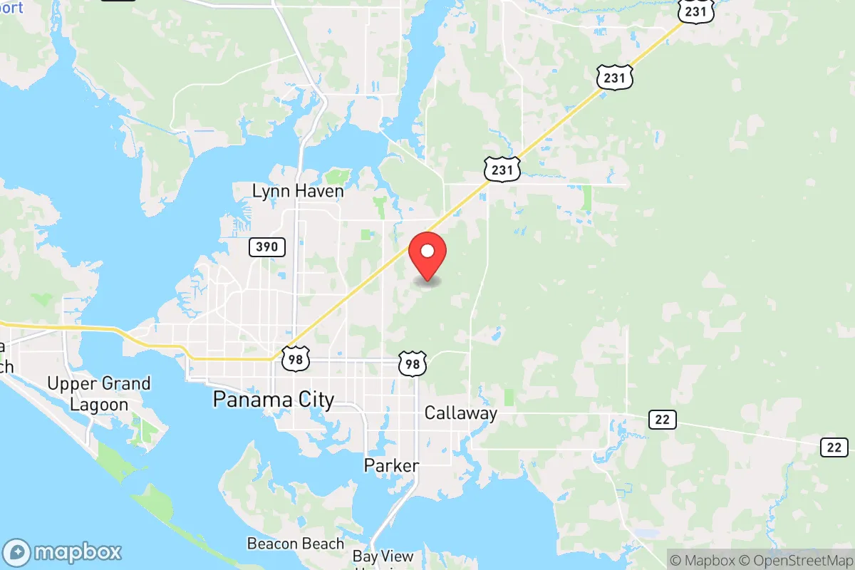
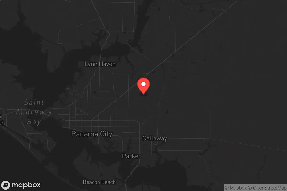
Strategic Assessment of Panama City, FL
Meaningful friction. Expect exposure to either population pressure, blast zones, or natural disaster risk. Consider buying a retreat property.
What does the Strategic Assessment tell us?
Our Strategic Assessment grades tactical survivability of an area. Major population centers, military targets, fallout zones, natural disasters, and border exposure all drive risk — lower exposure means a more defensible position in a crisis.
This is heavily inspired by Joel Skousen's Strategic Relocation book. Highly recommended you checkout the book ($)What does this tell us?
Our Strategic Assessment grades tactical survivability of an area. Major population centers, military targets, fallout zones, natural disasters, and border exposure all drive risk — lower exposure means a more defensible position in a crisis.
This is heavily inspired by Joel Skousen's Strategic Relocation book. Highly recommended you checkout the book ($)Strategic Pillars

Key Distances
Regional Safe Places
Below is our recommended "safe zones" in Florida and the surrounding area based on our strategic heuristics. For most people, it's unrealistic to live in a “safe zone” full-time due to work, family or other personal reasons. They tend to be more rural. However, many of these areas are perfect for second homes and retreat properties that double as a vacation home or even a short-term rental.

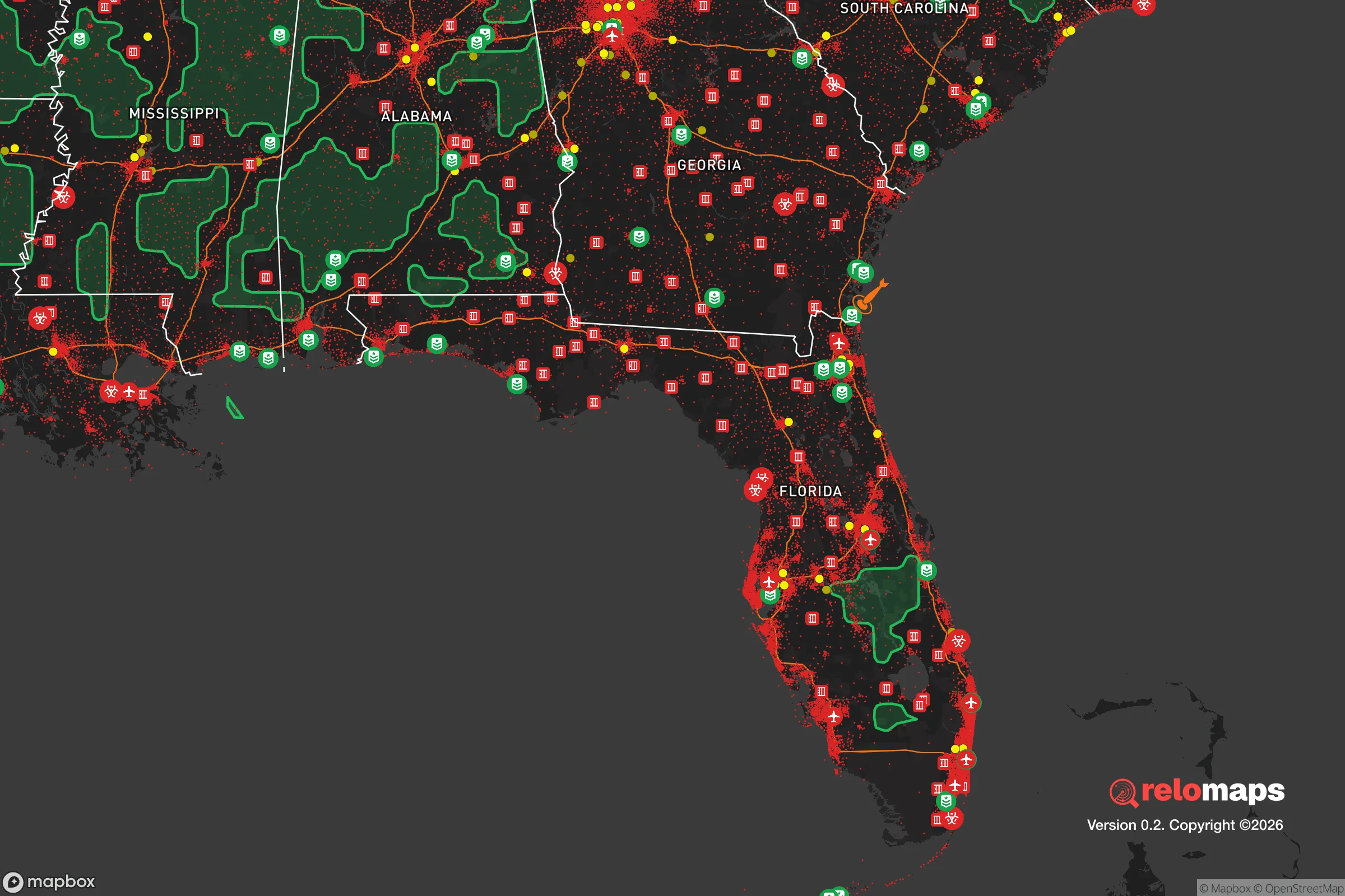
Important Note: For informational purposes only. This does not mean nothing bad ever happens in the green zones. Please use common sense. This is based on public data and modeled with AI. We tried to take a conservative approach but mistakes happen. We update this regularly as new information becomes available.
Solar Generator Recommendations
Backup power matters more here than in safer locations. We've picked three solar generators across budgets and capacity tiers — start with the budget unit if you only need a few essentials, or step up if you want to run a fridge and HVAC for days at a time.

Jackery Portable Power Station Explorer 300
Budget OptionPower on the Go: Weighing only 11 lbs, it's convenient to set up and store with book-sized foldable solar panels

BLUETTI Portable Power Station AC180
Designed for both indoor and outdoor scenarios, AC180 is highly capable as it has a robost capacity and continuous output power.

EF ECOFLOW DELTA Pro Ultra Power Station
Upgraded PickEcoFlow DELTA Pro Ultra is a whole-home energy system designed to grow with your family. Integrated with the Smart Home Panel 2, it scales to meet your evolving energy needs — keeping your home powered, intelligent, and secure through every stage of life.
We earn a commission, at no additional cost to you.
Strategic Assessment Analysis
Panama City, Florida, sits at a strategic crossroads where the Gulf of Mexico meets the Florida Panhandle, offering a mix of natural resilience and exposure that demands careful consideration for anyone prioritizing long-term preparedness. Its location roughly 100 miles southwest of Tallahassee and 100 miles east of Pensacola places it within a region that is neither a major metropolitan hub nor a remote wilderness, but rather a mid-sized coastal city with a population around 36,000 (metro area ~200,000) that has demonstrated a capacity for rebuilding after catastrophic events. For a relocator with a survivalist mindset, the key question is whether this area provides enough buffer from urban collapse while still offering access to essential resources and defensible terrain.
Geographic position and natural advantages for long-term survival
The Panhandle's geography provides several structural benefits for a prepper-oriented household. Panama City is situated on St. Andrew Bay, a natural deep-water estuary that offers both maritime access and a significant buffer from the open Gulf. The surrounding landscape is a mix of pine flatwoods, cypress swamps, and coastal dunes, which together create a terrain that is difficult to navigate for large, disorganized groups—an advantage if civil order deteriorates. The area's proximity to the Apalachicola National Forest (about 60 miles east) and the vast undeveloped tracts of the Eglin Air Force Base reservation (about 50 miles west) means that within a two-hour drive, a relocator can access hundreds of thousands of acres of public land with limited population density. Freshwater sources are abundant: the nearby Econfina Creek, Deer Point Lake (the city's primary reservoir), and numerous springs provide reliable surface water, though treatment would be necessary. The climate is humid subtropical, with mild winters (average January lows around 40°F) and hot, humid summers, which supports year-round gardening but also accelerates decay and mold in stored supplies. The region's elevation is low—typically 10 to 30 feet above sea level—which limits defensible high ground but also reduces the risk of landslides or seismic activity.
Risks, exposures, and proximity to fallout-relevant landmarks
The most significant vulnerability is hurricane exposure. Panama City was ground zero for Hurricane Michael in 2018, a Category 5 storm that caused catastrophic damage, destroyed thousands of homes, and knocked out power for weeks. The city has since rebuilt, but the risk remains acute: the Gulf Coast is the most hurricane-prone region in the continental United States, and a direct hit can collapse infrastructure, disrupt supply chains, and force mass evacuations. For a prepper, this means that any long-term plan must include robust storm hardening, fuel reserves for generators, and a secondary bug-out location inland (e.g., toward Marianna or Dothan, Alabama, about 70 miles north). Beyond weather, the area's proximity to military installations is a double-edged sword. Tyndall Air Force Base is located just east of the city, and while it provides economic stability and a potential source of security during localized unrest, it also makes Panama City a target in any large-scale conflict. The base is home to F-35 fighter jets and is a key node in the U.S. air defense network. Similarly, the Naval Surface Warfare Center in Panama City Beach and the larger Eglin Air Force Base complex to the west mean that the region is saturated with high-value military infrastructure. In a scenario involving nuclear escalation or precision strikes, these assets would be primary targets. The fallout risk from a ground burst at Tyndall or Eglin would be severe, with prevailing winds carrying radioactive debris across the Panhandle. Additionally, the city's location on the Gulf makes it a potential chokepoint for maritime traffic, which could become a liability during a national emergency if ports are closed or contested.
Practical resilience for a relocator: food, water, energy, and defensibility
For a single individual or family looking to establish a resilient household, Panama City offers a mixed bag. The local food system is heavily dependent on trucked-in supplies from distribution centers in Atlanta and Tampa, meaning that a prolonged disruption to Interstate 10 or the major highways (U.S. 98, U.S. 231) would lead to rapid shortages. However, the area has a strong fishing and shrimping culture—St. Andrew Bay and the Gulf provide year-round access to fish, crabs, and oysters for those with the skills to harvest them. Deer hunting is viable in the surrounding national forests, and wild hogs are abundant, offering a protein source that requires minimal infrastructure. Gardening is feasible from March through November, but the sandy, acidic soil requires amendment, and the humidity encourages fungal diseases. Water is less of a concern: Deer Point Lake is a 5,000-acre reservoir that supplies the city's drinking water, and the Floridan Aquifer is accessible via shallow wells in many areas. A hand pump or solar-powered well pump would be a wise investment. Energy resilience is a weak point. The local grid is vulnerable to storm damage, and the city's reliance on natural gas and coal-fired plants means that a prolonged fuel disruption would cripple power generation. Solar is viable—the area averages about 230 sunny days per year—but panels must be secured against hurricane-force winds. Defensibility is moderate: the city's layout is a mix of suburban sprawl and dense coastal development, making it hard to secure a single property without significant fortification. Rural parcels in the surrounding county (Bay County) offer better options, with larger lots, tree cover, and distance from main roads. The local law enforcement presence is adequate for day-to-day security, but during a widespread collapse, the population density (about 300 people per square mile in the metro area) would make it difficult to maintain order without outside assistance.
The overall strategic picture for Panama City is one of calculated trade-offs. It is not a remote survivalist redoubt—it is a coastal city with real hurricane risk, military-target exposure, and supply-chain fragility. But it also offers abundant natural resources, a relatively low population density compared to major metros, and a proven track record of rebuilding after disaster. For a conservative-leaning relocator who values community resilience, access to water and game, and a climate that supports self-sufficiency, Panama City is a viable option—provided you harden your home, stockpile for at least 30 days of self-reliance, and maintain a bug-out plan for the worst-case hurricane or conflict scenario. The key is to treat it as a base of operations rather than a fortress, leveraging its strengths while acknowledging that no location in the continental U.S. is truly safe from the cascading risks of the current era. If you can accept that trade-off, the Panhandle offers a solid foundation for long-term preparedness.
* Values derived from national, state, county, city and local statistics and may differ in a specific area. Last updated: 2026-05-13T17:01:27.000Z
Narrative content on this page is AI-generated and may contain mistakes. Verify any details that matter before acting on them.
ReloMaps may earn a commission from affiliate links at no extra cost to you.