Photo: Wikipedia
Strategic Assessment of Pawleys Island, SC
Meaningful friction. Expect exposure to either population pressure, blast zones, or natural disaster risk. Consider buying a retreat property.
What does the Strategic Assessment tell us?
Our Strategic Assessment grades tactical survivability of an area. Major population centers, military targets, fallout zones, natural disasters, and border exposure all drive risk — lower exposure means a more defensible position in a crisis.
This is heavily inspired by Joel Skousen's Strategic Relocation book. Highly recommended you checkout the book ($)What does this tell us?
Our Strategic Assessment grades tactical survivability of an area. Major population centers, military targets, fallout zones, natural disasters, and border exposure all drive risk — lower exposure means a more defensible position in a crisis.
This is heavily inspired by Joel Skousen's Strategic Relocation book. Highly recommended you checkout the book ($)Strategic Pillars

Key Distances
Regional Safe Places
Below is our recommended "safe zones" in South Carolina and the surrounding area based on our strategic heuristics. For most people, it's unrealistic to live in a “safe zone” full-time due to work, family or other personal reasons. They tend to be more rural. However, many of these areas are perfect for second homes and retreat properties that double as a vacation home or even a short-term rental.


Important Note: For informational purposes only. This does not mean nothing bad ever happens in the green zones. Please use common sense. This is based on public data and modeled with AI. We tried to take a conservative approach but mistakes happen. We update this regularly as new information becomes available.
Solar Generator Recommendations
Backup power matters more here than in safer locations. We've picked three solar generators across budgets and capacity tiers — start with the budget unit if you only need a few essentials, or step up if you want to run a fridge and HVAC for days at a time.

Jackery Portable Power Station Explorer 300
Budget OptionPower on the Go: Weighing only 11 lbs, it's convenient to set up and store with book-sized foldable solar panels

BLUETTI Portable Power Station AC180
Designed for both indoor and outdoor scenarios, AC180 is highly capable as it has a robost capacity and continuous output power.

EF ECOFLOW DELTA Pro Ultra Power Station
Upgraded PickEcoFlow DELTA Pro Ultra is a whole-home energy system designed to grow with your family. Integrated with the Smart Home Panel 2, it scales to meet your evolving energy needs — keeping your home powered, intelligent, and secure through every stage of life.
We earn a commission, at no additional cost to you.
Strategic Assessment Analysis
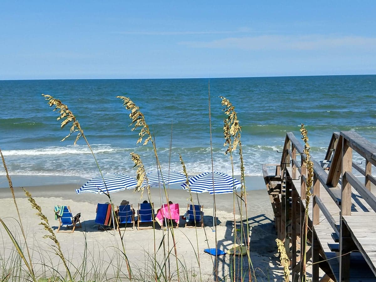
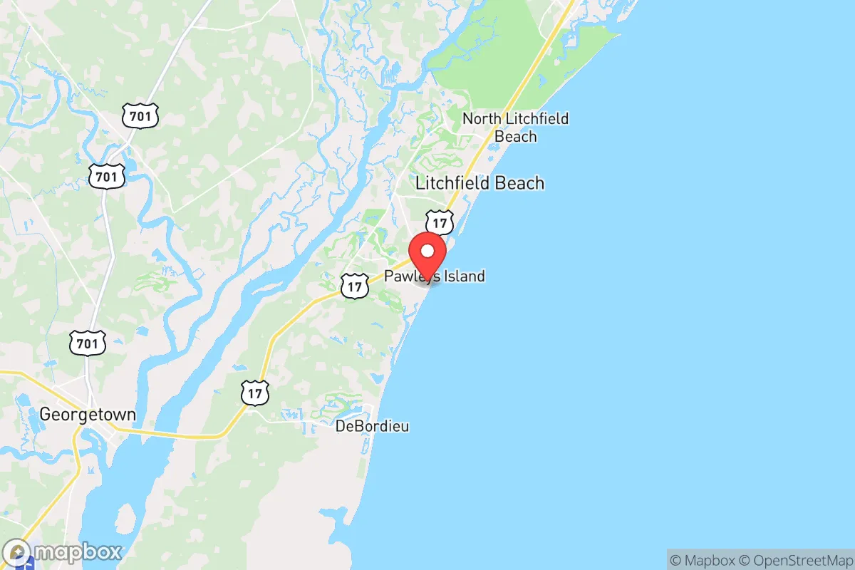
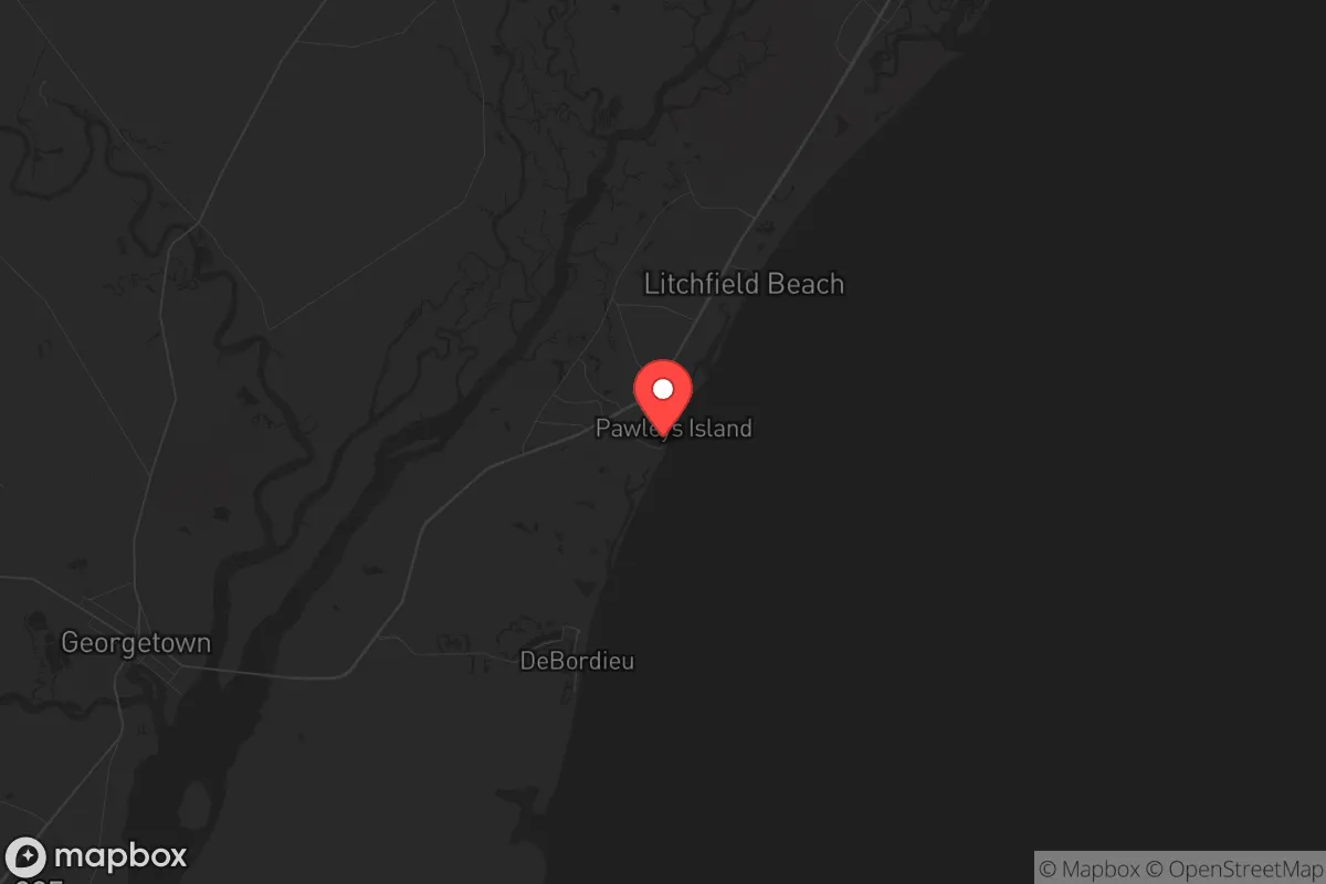
Pawleys Island, South Carolina, offers a strategic relocation option for those prioritizing resilience, offering a unique blend of coastal access and relative isolation from major metropolitan fallout zones. Its position roughly 25 miles south of Myrtle Beach and 70 miles north of Charleston places it outside the immediate blast radius and civil unrest hotspots of those larger cities, while still providing access to their resources if needed. The area’s low population density—around 3,000 year-round residents in the town itself—combined with its geography as a barrier island with limited road access, creates a natural defensibility that appeals to those planning for civic disruption or large-scale disasters. This is not a bug-out location for the unprepared, but a long-term sustainment zone for those who value quiet, self-reliance, and a buffer from the chaos of urban centers.
Geographic position and natural advantages for long-term security
Pawleys Island sits on a narrow barrier island, roughly four miles long and only a few blocks wide, separated from the mainland by the Atlantic Intracoastal Waterway and extensive salt marshes. This geography provides a natural moat effect—access is limited to two bridges (the North Causeway and the South Causeway), both of which can be easily monitored and, in a worst-case scenario, controlled or disabled. The surrounding Waccamaw Neck area, including the communities of Litchfield Beach and Murrells Inlet, offers a mix of maritime forest, tidal creeks, and undeveloped tracts that provide cover and resources. The area’s subtropical climate means a year-round growing season, which is a major advantage for food production—hardy crops like sweet potatoes, collards, and citrus can thrive with minimal inputs. The proximity to the Atlantic Ocean also offers a reliable source of seafood, from flounder and shrimp to clams and oysters, which can supplement stored supplies indefinitely. For those concerned with EMP or grid-down scenarios, the area’s reliance on well water and septic systems in many rural parcels means a lower dependency on municipal infrastructure than in denser suburbs.
Risks, exposures, and proximity to fallout-relevant landmarks
The primary risk for Pawleys Island is its exposure to Atlantic hurricanes, which can bring storm surge, high winds, and prolonged power outages. The island itself is low-lying, with elevations rarely exceeding 10 feet, making it vulnerable to Category 3+ storm surges—the 1954 Hurricane Hazel and 1989 Hurricane Hugo both caused significant damage here. However, the mainland side of the Waccamaw Neck, particularly areas like Hagley Estates and the Pawleys Island Plantation, sit on slightly higher ground (15–25 feet) and offer better defensibility against flooding. Another concern is the proximity to the Savannah River Site (SRS), a nuclear weapons facility roughly 150 miles southwest. While that distance provides a buffer, prevailing winds from the southwest could carry fallout in a worst-case scenario, so a prepper should have a basement or interior shelter with HEPA filtration—something rare in this coastal region. The area is also within 100 miles of the Charleston Naval Weapons Station and Joint Base Charleston, which could become military staging areas during unrest, potentially drawing secondary threats like refugee flows or supply chain disruptions. On the positive side, Pawleys Island is far from major interstate corridors (I-95 is 30 miles west), reducing the risk of mass evacuation traffic jams or refugee influxes during a crisis.
Practical resilience for a relocator: food, water, energy, and defensibility
For a relocator serious about self-sufficiency, Pawleys Island offers several practical advantages. Water access is excellent—the area sits atop the Floridan Aquifer, one of the most productive in the Southeast, and many homes have private wells that can be fitted with hand pumps or solar-powered pumps for off-grid operation. The shallow water table (often 10–20 feet deep) means drilling a well is relatively inexpensive compared to other regions. Food production is viable year-round due to the long growing season (USDA Zone 8b), with the ability to grow cool-season crops like kale and broccoli through winter and heat-tolerant varieties like okra and sweet potatoes in summer. Local soil is sandy and acidic, so raised beds or container gardening with imported topsoil is recommended for serious yields. The surrounding marshes and creeks provide a reliable protein source via crabbing, clamming, and fishing, though saltwater intrusion from storm surge can temporarily contaminate these areas. Energy resilience is achievable with solar panels, as the area averages 215 sunny days per year, and many homes already have propane tanks for cooking and heating. The local power grid is served by Santee Cooper, which has a mixed record on reliability during storms, so a whole-house generator with a buried propane tank is a wise investment. Defensibility is moderate—the limited road access is a double-edged sword, as it also restricts escape routes. The two causeways are choke points that could be blocked by authorities or looters, so having a boat (kayak, skiff, or small outboard) for water-based egress via the Intracoastal Waterway is a practical hedge. The local community is tight-knit and historically conservative, with a strong sense of mutual aid among year-round residents, which can be a force multiplier in a crisis—but newcomers should invest time in building relationships before relying on that network.
Overall, Pawleys Island presents a mixed but viable strategic picture for the conservative prepper. Its isolation from major urban centers, natural water and food resources, and defensible geography make it a strong candidate for a long-term retreat, provided you account for hurricane risk and the need for off-grid infrastructure. The area is not a fortress—it lacks the mountainous terrain or deep inland buffers of Appalachia—but for those who value coastal living and are willing to invest in storm hardening, well drilling, and community integration, it offers a realistic balance of comfort and preparedness. The key is to treat it as a primary residence with a hardened backup plan, not a weekend getaway. If you can secure a property on the mainland side of the Waccamaw Neck, with a well, solar array, and a boat, you’ll be better positioned than 90% of Americans to weather both natural disasters and societal breakdown. Just don’t expect to ride out a Category 5 on the island itself—have a secondary inland location or a solid evacuation plan for the worst-case storm scenarios.
* Values derived from national, state, county, city and local statistics and may differ in a specific area. Last updated: 2026-04-23T03:11:35.000Z
Narrative content on this page is AI-generated and may contain mistakes. Verify any details that matter before acting on them.
ReloMaps may earn a commission from affiliate links at no extra cost to you.