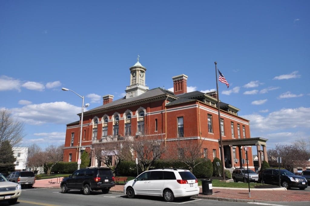
Photo: Wikipedia
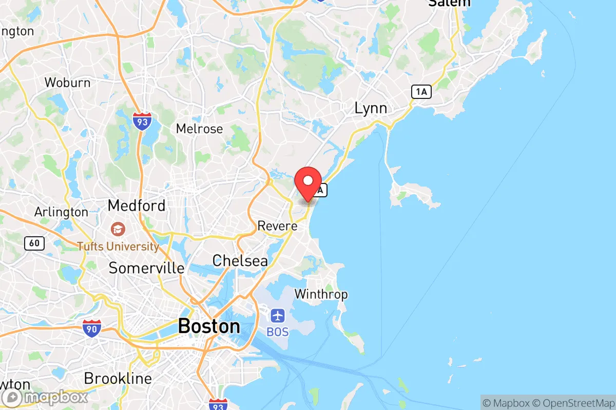
Strategic Assessment of Revere, MA
High tactical risk. This location is likely close to major population centers, strategic targets, or sits in a high-disaster corridor. A retreat property and careful exit planning is required.
What does the Strategic Assessment tell us?
Our Strategic Assessment grades tactical survivability of an area. Major population centers, military targets, fallout zones, natural disasters, and border exposure all drive risk — lower exposure means a more defensible position in a crisis.
This is heavily inspired by Joel Skousen's Strategic Relocation book. Highly recommended you checkout the book ($)What does this tell us?
Our Strategic Assessment grades tactical survivability of an area. Major population centers, military targets, fallout zones, natural disasters, and border exposure all drive risk — lower exposure means a more defensible position in a crisis.
This is heavily inspired by Joel Skousen's Strategic Relocation book. Highly recommended you checkout the book ($)Strategic Pillars

Key Distances
Regional Safe Places
Below is our recommended "safe zones" in Massachusetts and the surrounding area based on our strategic heuristics. For most people, it's unrealistic to live in a “safe zone” full-time due to work, family or other personal reasons. They tend to be more rural. However, many of these areas are perfect for second homes and retreat properties that double as a vacation home or even a short-term rental.


Important Note: For informational purposes only. This does not mean nothing bad ever happens in the green zones. Please use common sense. This is based on public data and modeled with AI. We tried to take a conservative approach but mistakes happen. We update this regularly as new information becomes available.
Solar Generator Recommendations
Backup power matters more here than in safer locations. We've picked three solar generators across budgets and capacity tiers — start with the budget unit if you only need a few essentials, or step up if you want to run a fridge and HVAC for days at a time.

Jackery Portable Power Station Explorer 300
Budget OptionPower on the Go: Weighing only 11 lbs, it's convenient to set up and store with book-sized foldable solar panels

BLUETTI Portable Power Station AC180
Designed for both indoor and outdoor scenarios, AC180 is highly capable as it has a robost capacity and continuous output power.

EF ECOFLOW DELTA Pro Ultra Power Station
Upgraded PickEcoFlow DELTA Pro Ultra is a whole-home energy system designed to grow with your family. Integrated with the Smart Home Panel 2, it scales to meet your evolving energy needs — keeping your home powered, intelligent, and secure through every stage of life.
We earn a commission, at no additional cost to you.
Strategic Assessment Analysis
Revere, Massachusetts, sits in a precarious strategic position that demands a hard-nosed assessment from anyone serious about resilience. Its location on a narrow peninsula just north of Boston offers immediate access to the ocean and major infrastructure, but that same geography makes it a potential chokepoint in a crisis. For a relocator with a prepper mindset, Revere presents a mixed bag: proximity to a major urban center is a liability for fallout and unrest, yet the city’s working-class character and coastal access provide some practical advantages if you know where to look.
Geographic position and natural advantages for long-term survival
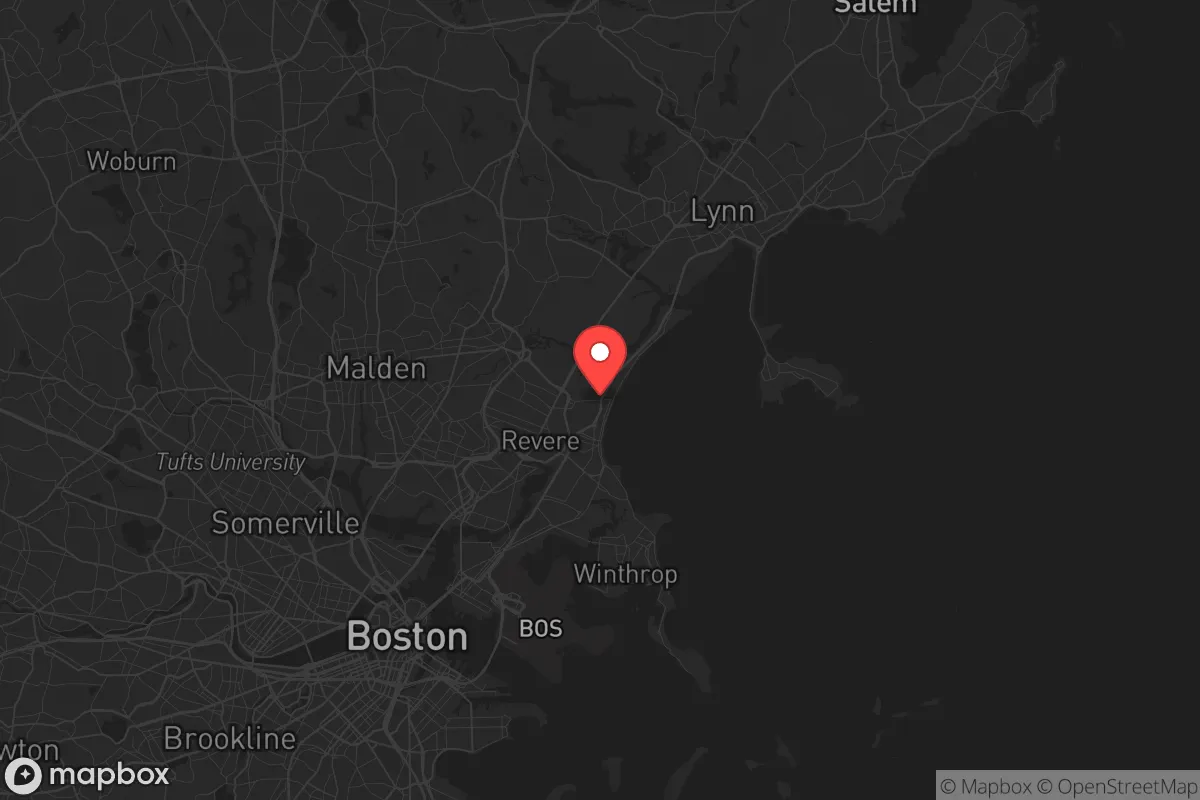
Revere’s geography is defined by its 3.5-mile coastline along the Atlantic, including the broad, sandy Revere Beach—the oldest public beach in the United States. This shoreline offers a direct route for maritime evacuation or resupply, a critical asset if road networks become compromised. The city sits on a low-lying coastal plain, with the highest point at roughly 50 feet above sea level near the Oak Island neighborhood. That flat terrain is a double-edged sword: it’s easy to traverse on foot or by bike, but it offers little natural cover or defensible high ground. To the north, the Saugus River and Rumney Marsh form a natural barrier that could slow movement from that direction, though the marsh is largely tidal and impassable in wet conditions. The Boston Harbor Islands, visible from the shore, could serve as temporary staging points, but they’re state-protected and likely to be contested in a breakdown scenario. For a relocator, the key natural advantage is the ocean itself—unlimited saltwater for desalination (if you have the gear) and a steady source of seafood, provided the waters aren’t contaminated by upstream runoff or a port incident.
Risks, exposures, and proximity to fallout-relevant landmarks
The biggest strategic liability is Revere’s position as a bedroom community for Boston, just 5 miles from downtown. In a mass casualty event or civil unrest, the city would be a primary evacuation corridor for hundreds of thousands of people fleeing the urban core. Routes like Route 1A and the Blue Line subway—which terminates at Wonderland Station—would become instant chokepoints. Revere is also within the blast and fallout radius of several high-value targets: Logan International Airport is 3 miles south, the Chelsea oil terminals are 2 miles west, and the Boston Harbor shipping channels are a stone’s throw away. A coordinated attack or industrial accident at any of these could render large swaths of the city uninhabitable for weeks. The city’s dense residential fabric—over 60,000 people packed into 6 square miles—means that even a localized event would cascade quickly. Flooding is another chronic risk: much of Revere sits in a FEMA-designated flood zone, and storm surge from a nor’easter or hurricane could inundate low-lying areas like Point of Pines and the Beachmont neighborhood. Sea-level rise projections for 2050 show that a 1-foot increase would permanently flood parts of the shoreline, and a 3-foot rise—plausible under worst-case scenarios—would submerge Revere Beach and the adjacent commercial district.
Practical resilience for a relocator: food, water, energy, and defensibility
For a relocator looking to hunker down, Revere’s practical resilience is limited but not zero. The city’s water supply comes from the Massachusetts Water Resources Authority (MWRA), which draws from the Quabbin Reservoir—a secure, gravity-fed system that’s hardened against most disruptions. However, that system is vulnerable to contamination at the treatment plants in Chelsea and Winthrop, both within the blast radius of Logan. A backup plan is essential: the ocean is a reliable source for desalination, but you’ll need a portable reverse-osmosis unit or a solar still, as boiling alone won’t remove salt. Food options are thin. Revere has a handful of supermarkets (Stop & Shop, Market Basket) and a thriving ethnic food scene with Latin American and Asian markets, but these are first-to-empty in a panic. The city has no significant agricultural land—the only community garden is a small plot at the Revere Housing Authority—so you’re dependent on supply chains. For energy, the grid is fed by the Mystic Generating Station in Everett (natural gas and oil), which is a prime target for sabotage. Solar panels are viable on the flat roofs of the city’s triple-deckers and apartment buildings, but you’ll need battery storage to ride out grid failures. Defensibility is poor. The street grid is a mix of narrow residential lanes and arterial roads, with few natural chokepoints. The best option for a secure compound would be a fortified single-family home in the Oak Island or Point of Pines neighborhoods, which have slightly larger lots and better sightlines over the water. But even there, you’re surrounded by dense neighbors—anyone with a prepper mindset would be better off in a rural town like Rowley or Georgetown, 20 miles north, where you can dig in without being overlooked.
The overall strategic picture for Revere is one of calculated risk. It’s not a place to ride out a long-term collapse—the density, flood risk, and proximity to Boston’s target-rich environment make that a losing bet. But for a relocator who needs to stay close to the city for work or family obligations, Revere offers a few hard advantages: ocean access for evacuation and resupply, a working-class population that’s less likely to riot than the academic elites in Cambridge, and a transit system that can be used for rapid egress if you time it right. The key is to treat Revere as a temporary staging point, not a final refuge. Have a bug-out plan that moves you north or west within 24 hours of a major event, and keep a go-bag with desalination gear, a water filter, and a hand-crank radio. If you’re serious about resilience, Revere is a place to pass through, not a place to dig in. The ocean is your lifeline, but the city itself is a trap waiting to spring.
* Values derived from national, state, county, city and local statistics and may differ in a specific area. Last updated: 2026-05-01T07:34:24.000Z
Narrative content on this page is AI-generated and may contain mistakes. Verify any details that matter before acting on them.
ReloMaps may earn a commission from affiliate links at no extra cost to you.