
Photo: Wikipedia
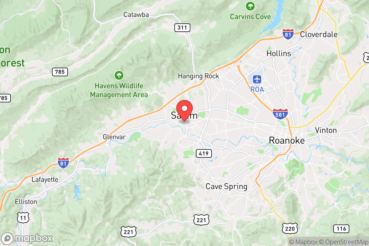
Demographics of Salem, VA
Affluence Level in Salem, VA
A middle-class area roughly in line with national averages across income, home values, education, and employment.
People of Salem, VA
Salem, Virginia, is a small, historically stable city of 25,477 residents, characterized by a predominantly white population (82.4%) and a notably low foreign-born share of just 2.6%. Its identity is rooted in a strong sense of local tradition, a compact downtown, and a reputation as a safe, family-oriented community that serves as the retail and civic anchor for surrounding Roanoke County. The city’s population is older and less diverse than the national average, with a college-educated rate of 31.1% that reflects its role as home to Roanoke College and a base for healthcare and education professionals.
How the city was settled and grew
Salem’s founding population was shaped by its location on the Great Wagon Road, a major 18th-century migration route. The area was originally part of a 170,000-acre land grant to William Byrd II, but permanent settlement began in earnest after the American Revolution, with Scots-Irish and German farmers moving down the Shenandoah Valley. These early families, many of whom were Presbyterian and Lutheran, established the agricultural backbone of the community. The town was formally established in 1802 and became the county seat of Roanoke County in 1838. The arrival of the Virginia and Tennessee Railroad in the 1850s shifted the economy from farming to commerce and small-scale manufacturing. The historic West Salem neighborhood, centered along West Main Street, was built by these early railroad-era merchants and tradesmen, and its grid of Victorian homes still reflects that founding wave. A second wave came after the Civil War, as Salem became a regional hub for education with the founding of Roanoke College (then Virginia Lutheran College) in 1853 and the establishment of a state normal school (now part of the public school system). This drew a professional class of educators and clergy, who settled in the College District around Roanoke College’s campus, an area of older homes and tree-lined streets that remains the city’s most educated enclave.
Modern era (post-1965)
The post-1965 period saw Salem’s population stabilize rather than explode, as the city’s boundaries were largely fixed and suburban growth shifted to unincorporated Roanoke County. The 1965 Hart-Cellar Act had minimal impact here: Salem’s foreign-born population remains at just 2.6%, and the city did not experience the large-scale immigration waves seen in Northern Virginia or Richmond. Instead, domestic in-migration from other parts of Virginia and the Appalachian region drove modest growth. The Southwest Salem neighborhood, developed in the 1970s and 1980s with ranch-style homes and cul-de-sacs, absorbed many of these new residents—primarily white families moving from rural areas for jobs at LewisGale Medical Center or the city’s growing industrial parks. The Black population, at 7.7%, is concentrated in the East Salem area near the Roanoke River, a historically working-class section that includes some of the city’s older housing stock. The Hispanic population (4.5%) is a more recent arrival, largely settling in the South Salem corridor along Electric Road, where service-industry jobs and rental apartments are more available. East and Southeast Asian residents (1.7%) are a small but visible presence, often tied to professional roles at the medical center or Roanoke College, and tend to live in the College District or newer subdivisions near the Salem-Roanoke County line. The Indian-subcontinent population (0.3%) is negligible and largely composed of medical professionals.
The future
Salem’s demographic trajectory points toward slow, incremental change rather than rapid transformation. The city is not homogenizing into a single identity, but it is also not tribalizing into distinct ethnic enclaves; the small minority populations are dispersed across neighborhoods, with no single group reaching a critical mass to form a concentrated ethnic district. The Hispanic share is the fastest-growing segment, rising from roughly 2% in 2010 to 4.5% today, driven by natural increase and some migration for construction and service jobs. This growth is likely to continue, potentially reaching 7-8% by 2040, but will remain modest compared to national trends. The white population, while still dominant, is aging: the median age in Salem is 40.3, and the 65+ cohort is growing as younger adults leave for larger job markets. The foreign-born share is unlikely to rise above 5% in the next decade, as Salem lacks the industrial or tech base to attract significant international migration. The West Salem and College District neighborhoods will likely remain the most stable and affluent, while South Salem may see a gradual increase in Hispanic and mixed-income households.
For someone moving in now, Salem is becoming a quieter, more settled version of itself—a place where demographic change is slow enough to preserve its traditional character, but where the population is gradually diversifying along Hispanic lines. The city offers stability and low crime, but those seeking a rapidly growing or highly diverse community should look elsewhere. The bottom line: Salem is a stable, predominantly white, family-oriented city with a modest and slow-growing minority population, ideal for those who value tradition and predictability over dynamism and change.
* Values derived from national, state, county, city and local statistics and may differ in a specific area. Last updated: 2026-05-01T02:56:09.000Z
Narrative content on this page is AI-generated and may contain mistakes. Verify any details that matter before acting on them.
ReloMaps may earn a commission from affiliate links at no extra cost to you.