Photo: Wikipedia
Strategic Assessment of Horry County
Meaningful friction. Expect exposure to either population pressure, blast zones, or natural disaster risk. Consider buying a retreat property.
What does the Strategic Assessment tell us?
Our Strategic Assessment grades tactical survivability of an area. Major population centers, military targets, fallout zones, natural disasters, and border exposure all drive risk — lower exposure means a more defensible position in a crisis.
This is heavily inspired by Joel Skousen's Strategic Relocation book. Highly recommended you checkout the book ($)What does this tell us?
Our Strategic Assessment grades tactical survivability of an area. Major population centers, military targets, fallout zones, natural disasters, and border exposure all drive risk — lower exposure means a more defensible position in a crisis.
This is heavily inspired by Joel Skousen's Strategic Relocation book. Highly recommended you checkout the book ($)Strategic Pillars

Key Distances
Strategic Assessment Analysis
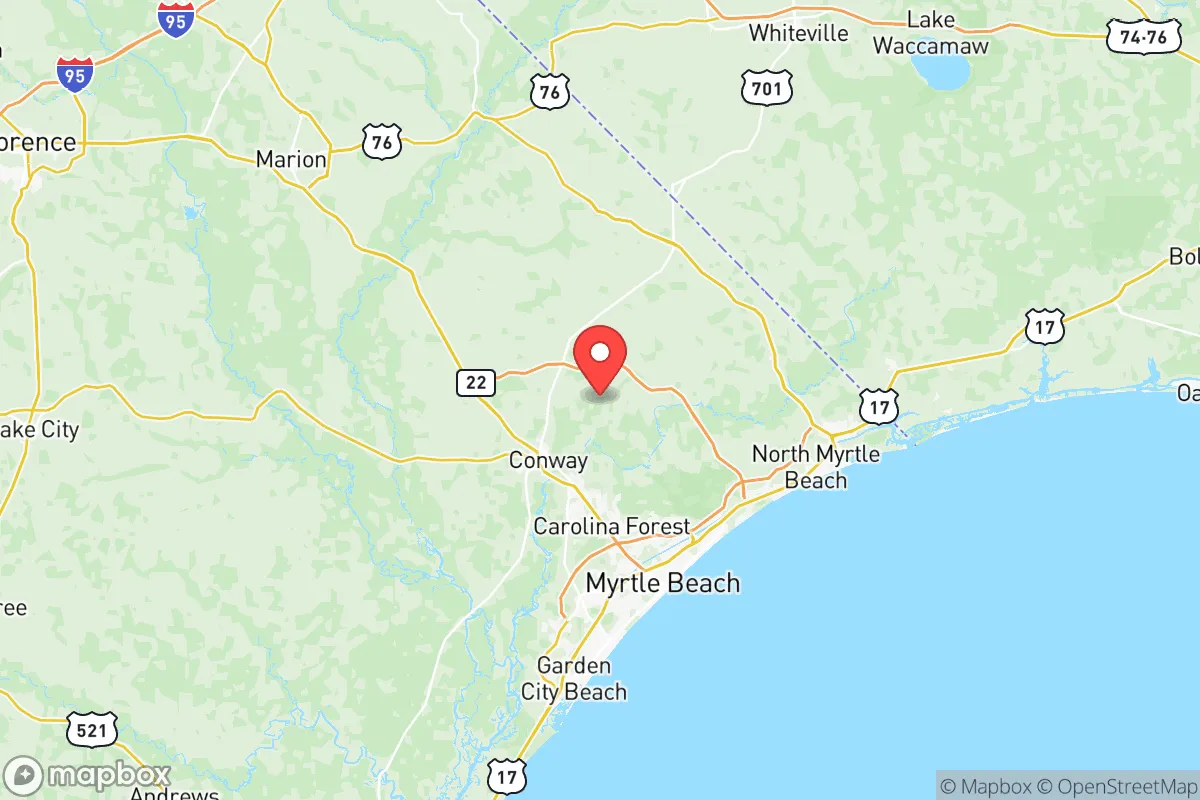
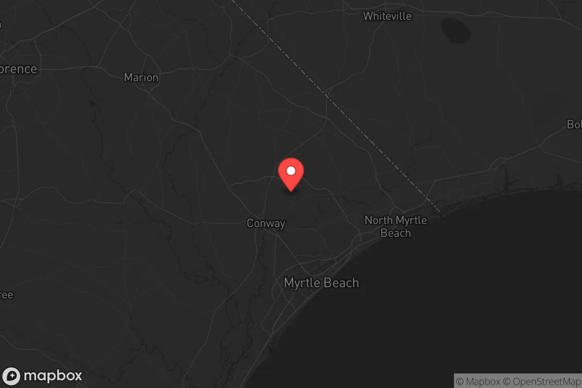
Horry County, South Carolina, offers a strategic relocation option for those prioritizing resilience and geographic buffer from major population centers, though it carries distinct trade-offs. Anchored by Myrtle Beach and stretching inland to Conway and Loris, the county sits roughly 90 miles from the Charleston metro area and 70 miles from Wilmington, North Carolina—close enough for supply runs but far enough to avoid immediate fallout from a coastal or urban crisis. Its position along the Atlantic places it outside the primary blast and radiation zones of major strategic targets like the Savannah River Site or the Port of Charleston, while its inland areas provide natural dispersion for those seeking lower-risk living.
Geographic position and natural advantages for long-term survival
Horry County’s geography is defined by the Waccamaw River basin, the Intracoastal Waterway, and a network of blackwater creeks and swamps that create natural barriers to movement. The county’s 1,134 square miles include significant forested tracts, particularly in the western half near the Francis Marion National Forest border, which offers hunting, foraging, and timber resources. The coastal plain is flat and low-lying, with elevations rarely exceeding 50 feet, which limits defensible high ground but provides ample groundwater access. The county’s proximity to the Atlantic means consistent rainfall—averaging 52 inches annually—and a growing season of over 230 days, making subsistence agriculture viable for those with land. The Waccamaw River and the Atlantic Ocean provide potential fishing and water transport routes, though the latter also introduces hurricane risk. For a relocator, the key advantage is the combination of water abundance, forest cover, and distance from high-value targets like the Savannah River Site (nuclear weapons facility) or the Port of Charleston (logistics hub).
Risks, exposures, and proximity to fallout-relevant landmarks
The primary risk in Horry County is hurricane and storm surge, with the entire coastline vulnerable to Category 3+ storms. The 2024 hurricane season saw Myrtle Beach experience flooding from storm surge and inland rainfall, with the Waccamaw River reaching moderate flood stage. For a prepper, this means inland locations—Conway, Loris, or the rural areas near the Horry-Georgetown county line—are far safer than beachfront properties. The county is also within 100 miles of two nuclear power plants: the H.B. Robinson plant in Hartsville, SC (about 80 miles west) and the Brunswick plant in Southport, NC (about 70 miles north). While neither is a direct fallout risk under normal conditions, a major incident could affect the region depending on wind patterns. More critically, the county sits 60 miles from the Savannah River Site, a Department of Energy nuclear facility that processes tritium and plutonium—a high-value target in any conflict scenario. The Myrtle Beach International Airport and the nearby Marine Corps Air Station Beaufort (about 90 miles south) are secondary targets, though the air station’s primary mission is training, not combat. For a relocator, the takeaway is that Horry County offers a buffer from the worst fallout zones but is not immune to secondary effects from coastal or nuclear incidents.
Practical resilience for a relocator: food, water, energy, and defensibility
Horry County’s practical resilience hinges on its water resources and agricultural potential. The county sits atop the Floridan Aquifer, one of the most productive groundwater systems in the Southeast, with wells typically yielding 500-1,000 gallons per minute at depths of 100-300 feet. For a relocator, this means reliable water access even if municipal systems fail. The county has over 50,000 acres of farmland, primarily soybeans, corn, and timber, with local farmers’ markets in Conway and Loris providing fresh produce during normal times. For long-term food security, the growing season allows for year-round gardening with cold frames, and the Waccamaw River and Atlantic offer seafood—though fishing pressure is high near Myrtle Beach. Energy resilience is mixed: the county is served by Santee Cooper and Duke Energy, with the coal-fired Winyah Generating Station in Georgetown County (30 miles south) providing baseload power. Solar potential is good, with an average of 218 sunny days per year, but the flat terrain limits wind power. Defensibility is the weak point—the county’s flat, open terrain and extensive road network (Highway 501, Highway 17, Highway 701) make it easy for outsiders to move in, and the population density near Myrtle Beach (over 400 people per square mile) creates a concentration risk. Inland areas like the rural tracts near the Little Pee Dee River or the Carolina Bays region offer better defensibility through natural barriers and lower population density.
The overall strategic picture for Horry County is one of moderate resilience with clear geographic limits. It is not a bug-out location for those seeking complete isolation—the county’s population of over 370,000 and its reliance on tourism make it a target for looting and civil unrest during a crisis. However, for a relocator willing to buy land inland, drill a well, and establish a self-sufficient homestead, the county offers water abundance, a long growing season, and distance from the highest-risk targets. The key is to avoid the coastal strip and the Myrtle Beach sprawl, focusing instead on the rural areas near the Waccamaw River or the Horry-Georgetown border. For a conservative-leaning individual or family prioritizing preparedness, Horry County is a viable option—but only if you treat it as a base for self-reliance, not a fortress. The county’s real value lies in its natural resources and buffer from major strategic targets, not in any inherent defensibility or community resilience. Plan accordingly, and you can make it work.
* Values derived from national, state, county, city and local statistics and may differ in a specific area. Last updated: 2026-05-27T16:55:40.000Z
Narrative content on this page is AI-generated and may contain mistakes. Verify any details that matter before acting on them.
ReloMaps may earn a commission from affiliate links at no extra cost to you.