
Photo: Wikipedia
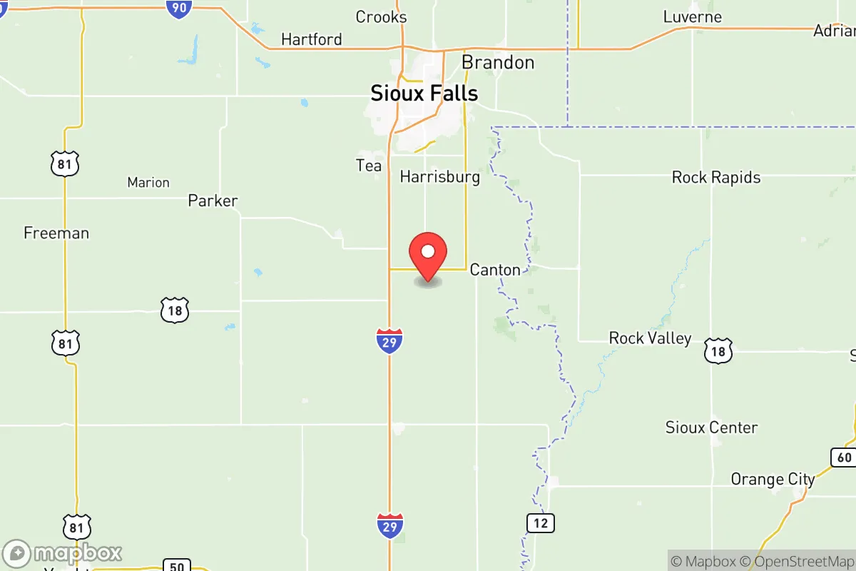
Strategic Assessment of Lincoln County
Workable tactical position. Some exposure to population density or targets, but generally defensible in a crisis.
What does the Strategic Assessment tell us?
Our Strategic Assessment grades tactical survivability of an area. Major population centers, military targets, fallout zones, natural disasters, and border exposure all drive risk — lower exposure means a more defensible position in a crisis.
This is heavily inspired by Joel Skousen's Strategic Relocation book. Highly recommended you checkout the book ($)What does this tell us?
Our Strategic Assessment grades tactical survivability of an area. Major population centers, military targets, fallout zones, natural disasters, and border exposure all drive risk — lower exposure means a more defensible position in a crisis.
This is heavily inspired by Joel Skousen's Strategic Relocation book. Highly recommended you checkout the book ($)Strategic Pillars

Key Distances
Strategic Assessment Analysis
Lincoln County, South Dakota, offers a strategic relocation option for those prioritizing resilience, offering a blend of geographic isolation and practical self-sufficiency that is rare in the modern Lower 48. The county sits in a sweet spot: far enough from major population centers to avoid the worst of civil unrest or fallout, yet close enough to essential infrastructure and supply routes to remain viable. Its position along the Big Sioux River and its proximity to the Missouri River basin provide a water security advantage that many inland counties lack, while the surrounding agricultural land and low population density create a defensible, sustainable environment for individuals and families looking to weather potential disruptions.
Geographic position and natural advantages for long-term security
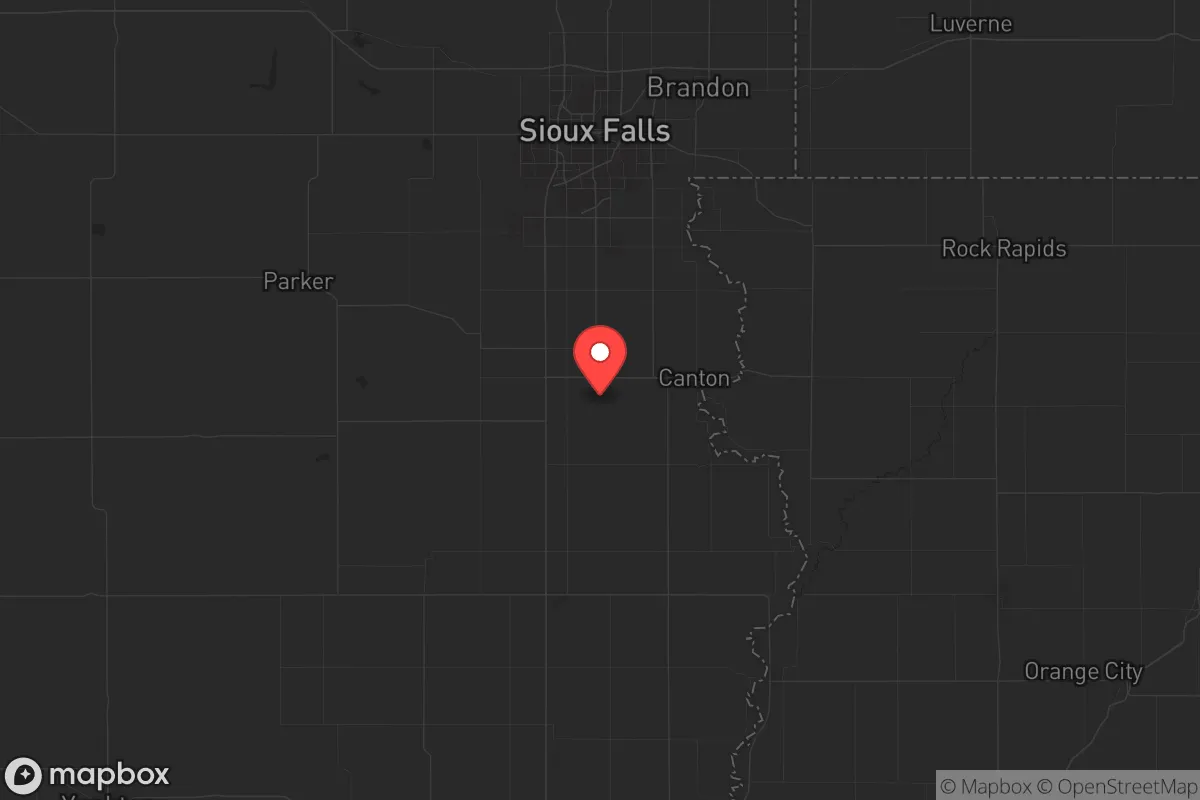
Lincoln County's location is its primary strategic asset. It lies in the southeastern corner of South Dakota, roughly 30 miles from Sioux Falls, the state's largest city, but far enough that the county itself remains rural and low-profile. The county seat, Canton, sits on the Big Sioux River, a reliable water source that flows north to south through the region. The Missouri River, a major water artery, is about 60 miles west near Yankton, providing a secondary water supply and a potential evacuation route. The terrain is mostly flat to gently rolling prairie, which offers good agricultural potential—corn, soybeans, and small grains are common—and allows for clear lines of sight, a defensive advantage. The climate is continental, with cold winters and warm summers, but the area is not prone to hurricanes, earthquakes, or wildfires, making it a stable choice for long-term habitation. The county's position also places it near the intersection of Interstate 29 and Highway 18, providing access to regional supply chains without being a choke point. For a relocator, this means you can grow food, access water, and move if needed, all while staying under the radar.
Risks, exposures, and proximity to fallout-relevant landmarks
No location is without risk, and Lincoln County has specific exposures that a strategic relocator must weigh. The most significant is its proximity to Ellsworth Air Force Base, located about 90 miles northwest near Rapid City. Ellsworth is a major B-1B Lancer bomber base and a primary target in any nuclear exchange scenario. While 90 miles provides some buffer, prevailing winds from the west could carry fallout across the state, though Lincoln County's southeastern position reduces this risk compared to areas directly downwind. Closer to home, the Sioux Falls Regional Airport (about 25 miles north of Canton) is a civilian hub but also hosts the South Dakota Air National Guard's 114th Fighter Wing, which operates F-16s. This makes it a secondary target. The county itself has no major industrial or military facilities, which is a positive. However, the Union Pacific rail line running through the county near Lennox and Tea carries hazardous materials, including crude oil and chemicals, posing a derailment risk. The Big Sioux River is also vulnerable to agricultural runoff and potential contamination from upstream sources, though this is manageable with proper filtration. For a prepper, the key takeaway is that Lincoln County is not a zero-risk zone, but its risks are manageable compared to living near a major city, refinery, or military base. The nearest major refinery is in Elk Point, about 20 miles south, but it's a small ethanol plant, not a petrochemical complex. The absence of large-scale industrial targets within the county is a major plus.
Practical resilience for a relocator: food, water, energy, and defensibility
For a family or individual looking to establish a resilient homestead, Lincoln County offers strong fundamentals. Water is the first priority, and the county has abundant groundwater through the Dakota Aquifer, with many rural properties having private wells. The Big Sioux River provides a surface water option, but it requires treatment. The county's average annual rainfall of about 26 inches supports rain catchment systems, and the Missouri River is a backup for those willing to haul water. Food production is straightforward: the growing season is about 150 days, suitable for vegetables, grains, and livestock. The county is part of South Dakota's agricultural heartland, with local farmers' markets in Canton, Lennox, and Tea providing seed stock and livestock. Hunting and fishing are viable—deer, pheasant, and waterfowl are common, and the Big Sioux holds catfish and walleye. Energy is a mixed bag. The grid is reliable but vulnerable to EMP or cyberattack. Solar is viable, with about 200 sunny days per year, and wind is consistent on the prairie. Wood heating is possible but limited by the lack of dense forests; most properties rely on propane or heating oil. Defensibility is where Lincoln County shines. The low population density—about 60 people per square mile in the rural areas—means you can have significant standoff from neighbors. The terrain is open, which limits ambush points but also requires good perimeter planning. The county has a strong law enforcement presence, with the Lincoln County Sheriff's Office based in Canton, and the local population is generally self-reliant and armed. The Sioux Falls metro area is close enough to provide medical and supply access but far enough that civil unrest there is unlikely to spill over. For a relocator, the practical setup is a rural property with a well, solar panels, a garden, and a good stock of ammunition.
The overall strategic picture for Lincoln County is one of calculated advantage. It is not a remote bunker location—it is a working agricultural county with a small-town infrastructure that can support a resilient lifestyle without requiring total isolation. The risks from Ellsworth and the Sioux Falls airport are real but manageable with proper planning, such as having a fallout shelter and a bug-out route west toward the Missouri River. The county's agricultural base, water access, and low target profile make it a strong candidate for those who want to be prepared for civic unrest, economic collapse, or natural disasters without living off-grid in the wilderness. For a conservative-leaning individual or family, Lincoln County offers a community that values self-sufficiency, a local government that is not overbearing, and a location that balances access with security. It is not a perfect fortress, but it is a solid foundation for building one.
* Values derived from national, state, county, city and local statistics and may differ in a specific area. Last updated: 2026-05-12T11:00:47.000Z
Narrative content on this page is AI-generated and may contain mistakes. Verify any details that matter before acting on them.
ReloMaps may earn a commission from affiliate links at no extra cost to you.