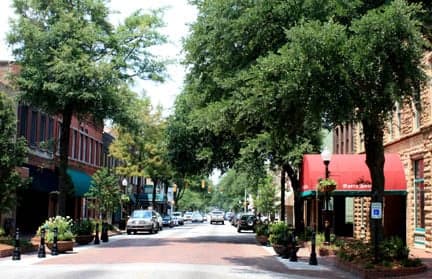
Photo: Wikipedia
Strategic Assessment of Sumter, SC
Meaningful friction. Expect exposure to either population pressure, blast zones, or natural disaster risk. Consider buying a retreat property.
What does the Strategic Assessment tell us?
Our Strategic Assessment grades tactical survivability of an area. Major population centers, military targets, fallout zones, natural disasters, and border exposure all drive risk — lower exposure means a more defensible position in a crisis.
This is heavily inspired by Joel Skousen's Strategic Relocation book. Highly recommended you checkout the book ($)What does this tell us?
Our Strategic Assessment grades tactical survivability of an area. Major population centers, military targets, fallout zones, natural disasters, and border exposure all drive risk — lower exposure means a more defensible position in a crisis.
This is heavily inspired by Joel Skousen's Strategic Relocation book. Highly recommended you checkout the book ($)Strategic Pillars

Key Distances
Regional Safe Places
Below is our recommended "safe zones" in South Carolina and the surrounding area based on our strategic heuristics. For most people, it's unrealistic to live in a “safe zone” full-time due to work, family or other personal reasons. They tend to be more rural. However, many of these areas are perfect for second homes and retreat properties that double as a vacation home or even a short-term rental.


Important Note: For informational purposes only. This does not mean nothing bad ever happens in the green zones. Please use common sense. This is based on public data and modeled with AI. We tried to take a conservative approach but mistakes happen. We update this regularly as new information becomes available.
Solar Generator Recommendations
Backup power matters more here than in safer locations. We've picked three solar generators across budgets and capacity tiers — start with the budget unit if you only need a few essentials, or step up if you want to run a fridge and HVAC for days at a time.

Jackery Portable Power Station Explorer 300
Budget OptionPower on the Go: Weighing only 11 lbs, it's convenient to set up and store with book-sized foldable solar panels

BLUETTI Portable Power Station AC180
Designed for both indoor and outdoor scenarios, AC180 is highly capable as it has a robost capacity and continuous output power.

EF ECOFLOW DELTA Pro Ultra Power Station
Upgraded PickEcoFlow DELTA Pro Ultra is a whole-home energy system designed to grow with your family. Integrated with the Smart Home Panel 2, it scales to meet your evolving energy needs — keeping your home powered, intelligent, and secure through every stage of life.
We earn a commission, at no additional cost to you.
Strategic Assessment Analysis
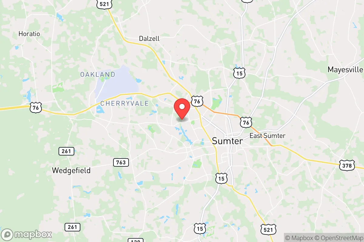
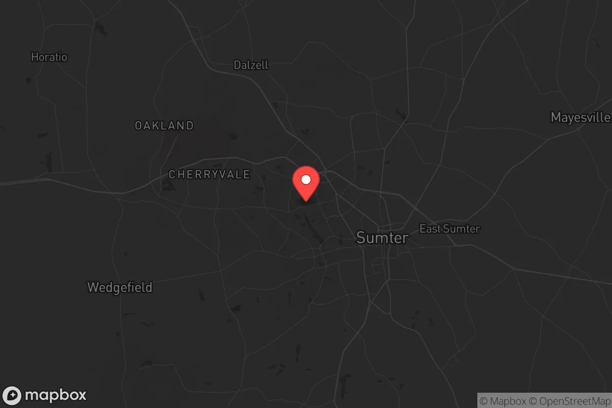
Sumter, South Carolina, offers a strategic blend of geographic resilience and logistical access that makes it a serious contender for those prioritizing long-term preparedness. Positioned roughly 45 miles east of Columbia and 90 miles northwest of Charleston, this mid-sized city of about 40,000 residents sits outside the immediate blast radius of major metropolitan targets while still providing reasonable access to supply chains and medical infrastructure. The area’s low population density relative to the coastal corridor, combined with its inland position away from hurricane storm surge zones, gives it a distinct advantage for those seeking a defensible base of operations without complete isolation from civilization.
Geographic position and natural advantages for long-term security
Sumter’s location in the South Carolina Midlands places it in a sweet spot for preppers. It is far enough from the coast to avoid the worst of hurricane impacts—the storm surge zone ends roughly 60 miles east—yet close enough to the I-95 and I-20 corridors to facilitate resupply or evacuation if needed. The surrounding terrain is predominantly flat, with mixed pine and hardwood forests that provide natural cover and resources for hunting or foraging. The area sits atop the Southeastern Coastal Plain aquifer system, which means groundwater is generally accessible at moderate depths, a critical factor for off-grid water security. Summers are hot and humid, but the growing season stretches from March to November, allowing for substantial food production if you have the land and knowledge. Winters are mild, rarely dropping below freezing for more than a few days at a time, which reduces the risk of crop loss or infrastructure failure from cold snaps.
Risks, exposures, and proximity to fallout-relevant landmarks
No location is without vulnerabilities, and Sumter has a few that demand attention. The most obvious is Shaw Air Force Base, located just west of the city. This is a major U.S. Air Force installation housing the 20th Fighter Wing and serving as a hub for intelligence, surveillance, and reconnaissance operations. In a major conflict or escalation, Shaw is a high-value target. A conventional strike or even a limited nuclear exchange could render the base and its immediate surroundings uninhabitable. The prevailing wind patterns in the region blow from the southwest to the northeast, meaning fallout from a strike on Shaw would likely drift toward the Sumter city center and beyond toward Florence. Anyone within a 10- to 15-mile radius of the base should have a plan for rapid evacuation or deep sheltering. Additionally, Sumter lies about 70 miles from the Savannah River Site, a nuclear weapons facility and waste storage site that could be a secondary target. The proximity to I-95 also means that in a crisis, the city could see significant refugee traffic from the coastal cities, straining local resources and potentially creating security issues.
Practical resilience for a relocator: food, water, energy, and defensibility
For the individual or family looking to establish a resilient homestead, Sumter offers a workable baseline. The soil in the region is primarily sandy loam, which drains quickly and requires amendment for serious agriculture, but with raised beds and composting, you can produce a solid yield of vegetables, fruits, and herbs. The long growing season supports multiple planting cycles, and local farmers’ markets and co-ops provide a backup for seed stock and livestock. Water is the bigger concern. Municipal water comes from Lake Marion and the Wateree River, but in a grid-down scenario, you’ll need a well. Drilling costs in the area run about $15–$25 per foot, and you can expect to hit water at 100–200 feet. A hand pump or solar-powered pump is a wise investment. For energy, the region gets about 220 sunny days per year, enough for a modest solar array, but you’ll want battery storage to handle the frequent thunderstorms and occasional ice storms that can knock out power for days. Defensibility is moderate. Sumter County is largely rural, with scattered subdivisions and farmland. A property on a dead-end road with good sightlines and a perimeter of natural vegetation offers solid security. The local law enforcement presence is adequate for a city of this size, but response times in the outer county can stretch to 20–30 minutes, so personal security measures—fencing, alarms, and a reliable firearm—are non-negotiable.
The overall strategic picture for Sumter is one of cautious optimism for the prepared relocator. It avoids the worst of coastal risks and major urban target zones while still offering access to essential infrastructure. The presence of Shaw Air Force Base is a double-edged sword: it provides economic stability and a potential source of skilled labor and medical resources, but it also paints a bullseye on the area in a major conflict. For those willing to invest in a well, solar power, and a defensible property outside the immediate blast radius of the base, Sumter can serve as a solid long-term base. It is not a bug-out location for the apocalypse—it’s a place to build a life that can withstand the shocks of a destabilizing world, provided you do the work upfront. If you’re looking for a low-key, affordable, and strategically sound spot in the Southeast, Sumter deserves a serious look.
* Values derived from national, state, county, city and local statistics and may differ in a specific area. Last updated: 2026-04-30T00:41:48.000Z
Narrative content on this page is AI-generated and may contain mistakes. Verify any details that matter before acting on them.
ReloMaps may earn a commission from affiliate links at no extra cost to you.